

Description
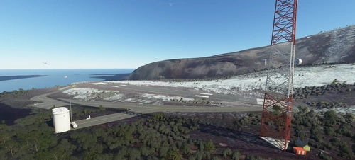
Norfolk Island Airport (YSNF), is located in the Pacific Ocean between Australia, New Zealand and New Caledonia. It's currently serviced by Qantas and Air Chathams for RPT, Toll Group for freight, and RFDS, and Aspen Medical/Avcair for aeromedical retrival and transport. It's utilised by GA as a transit and refueling point when crossing the Tasman.
Norfolk Island is 430nm from Noumea (NWWW), 588nm from Auckland (NZAA), 483nm from Lord Howe Island (YLHI), 791nm from Brisbane (YBBN) and 907nm from Sydney (YSSY).
Please note that this is a work in progress. Any feedback or resource material (photos, videos etc.) are very much appreciated.
Features:
- 5M DEM (elevation data) for Norfolk Island, and surrounding islands (Nepean Island and Flinders Island).
- Added Terminal, Meteorological Office, Emergency Services Centre, Fuel Facility, Waste Centre, Sewage Treatment Plant and Electricity shed.
- Moved aerodrome beacon to Mount Pitt, 1.4nm to the north.
- Added VOR, DME and NDB infrastructure to the correct locations.
- Updated wind direction indicators (windsocks) and added lighting.
- Added taxi, stop bar, leadout line markings.
- Added apron lighting.
Dependencies:
World Update VII: Australia
Turtletank's Scenery Developer Objects and Material Library
EDHK Lights & Objects Developers Pack
Known Issues and plans:
- Create custom buildings and clutter. Currently using library models.
- Vegetation needs extensive updating. I've fixed some of it, but there is a lot more work to do for it to be representative of the area.
- Improve runway, taxiway and apron lighting.
- Fences. Waiting until SU10 to utilise the Fence Tool.
- Add Kingston's UNESCO World Heritage site as a POI.
Attributions:
- Elevation data created using MSFS Toolkit by Nool Aerosystems (https://msfs.nool.ee/)
- "Norfolk Island lidar" (https://data.csiro.au/collection/csiro:43016v1) by CSIRO is licensed under CC BY 4.0
Donations:
While no obligation, any donations will be used to create and maintain my sceneries.
Dependencies
Location
Norfolk Island Airport - YSNF
Norfolk Island Airport (YSNF), is located in the Pacific Ocean between Australia, New Zealand and New Caledonia. It's currently serviced by Qantas and Air Chathams for RPT, Toll Group for freight, and RFDS, and Aspen Medical/Avcair for aeromedical retrival and transport. It's utilised by GA as a transit and refueling point when crossing the Tasman.


Supporters

User Reviews
3 reviews
Version History
- Added service roads around airport. - Added placeholder buildings: Norfolk Island Power House. - Added clutter around Emergency Services Centre. - Added more vegetation around airport. - Updated Runway 11/29 start positions.
Featured in Collections(2)



Related
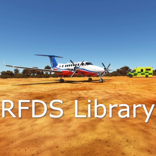
RFDS Library
A collection of custom road furniture and objects designed for Geekles RFDS Airstrip Series, showcasing unique elements from remote outback locations in Australia, in support of the Royal Flying Doctor Services mission of providing healthcare to rural areas. Discover the essence of the RFDS through this object library while contributing to the RFDS by exploring custom sceneries like Sandstone, Diamantina, Traeger, and Shannons Creek.
by geekle
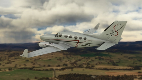
Flysimware Cessna 414AW: VH-ZDF
Cessna 414A #414A0407 - VH-ZDF Exported from the USA, ZDF entered the Australian aircraft register in May 2010, acquired by a private entity. The aircraft changed hands several times and is currently with Panorama Airways, based out of Bathurst (YBTH).
by geekle
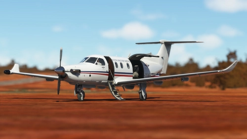
Carenado PC-12: #725 Livery Pack (RFDS and Sounds Air)
Pilatus PC-12/47 #725 (VH-YWO, ZK-PLB) Entered the Australian aircraft register in August 2006, acquired by the Royal Flying Doctor Service (Western Operations). The RFDS altered the livery, removing the tail markings in 2011. In 2019 the RFDS logos were removed and the aircraft was exported to New Zealand, where it was taken up by Sounds Air and entered the New Zealand aircraft register in September 2019.
by geekle
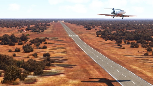
Sandstone (RFDS Emergency) - Y0SQ
Discover the Sandstone (RFDS Emergency) airstrip - Y0SQ, serving as a crucial emergency landing area in Western Australia. Part of the RFDS Airstrip Series, this add-on is supported by the Royal Flying Doctor Service, offering vital healthcare services in remote locations. Explore this scenery with included dependencies and contribute to the RFDS cause through donations.
by geekle
Log in to join the discussion
Log InComments(24)
almost 2 years ago
Thank you for this wonderful airport!
about 3 years ago
とても素晴らしいシーナリーです。ありがとうございます。
It's a very nice scenery. thank you.
about 3 years ago
よかった
I'm glad you liked it.
Thanks for submitting your images.
over 3 years ago
Thank You!
over 3 years ago
Hi,
An interesting feature you could add is the fact the the fire rescue team put up a score board and how the pilots landed. its in the corner of the small protruding building of the fire rescue building closet to the intersections of the runways.
Search "norfolk island airport pictures - Google Search", scroll down until you see the score board.
Regards Dave29
over 3 years ago
It's on the list to do.
over 3 years ago
That's Great, thanks
almost 4 years ago
When I link this airport using Addon Linker I suffer a CTD when loading the sim. If I unlike this addon the sim loads fine. Something happened in your last update.
almost 4 years ago
Thanks for the report. Can you recall what version you were running previously?
I'll attempt to reproduce it.
almost 4 years ago
It was your latest version.
almost 4 years ago
Thanks. Do you know what version you were previously using?
Unfortunately, I can't reproduce the CTD with the latest version on my development machine.
about 4 years ago
Hi there, just wanted to say that for my system, the way this map interacts with some others makes my Sim CTD.
Not a criticism - simply an observation.
I spent the past hour whittling it down and it's definitely this map that causes the crash.
about 4 years ago
same here?
about 4 years ago
Thanks for the report. I'd love to get this resolved for you.
Have you tried loading the scenery, without any of the dependencies?
I'm also aware that the elevation data does require more resources than without it.
Looking forward to hearing back for you.
about 4 years ago
On re-downloading the map, the website tells me that I already have all of the required dependencies plus they are all up to date.
Tried the map on it's own, with none of the other dependencies and it works OK.
I have some 1500 other maps in my Community folder so it's simply too big a task to ask one user to go through these alongside this map so sadly I can't use it.
about 4 years ago
Great, thanks for letting me know and sorry to hear that the dependencies are causing some issues.
I'm working on creating custom assets to replace the dependencies/libraries that I have utilised, so when that's completed, you should be able to use the scenery with no issues.
about 4 years ago
Excellent work my friend, look forward to further new works.
about 4 years ago
Sent a small donation as a thankyou.Appreciate you taking the time to do this.👍👍😁
about 4 years ago
Cheers mate! Very much appreciated.
about 4 years ago
Very nice and a vast improvement on the stock standard scenery.I used to go there for holidays as a child with my parents back in the early 70's.Had my honeymoon there.34 yrs ago.Lovely place.Fond memories.Cheers.