Description
The Alyeska Pipeline Service Company built the 400 mile "Haul Road" from Livengood, just north of Fairbanks, to the north slope oil fields at Prudhoe Bay. The pipeline parallels the road. Mostly gravel, the road was built to handle the hundreds of heavy construction vehicles that used it daily. They completed the road in 1974 in just 5 months. In 1979 the company gave the highway to the state of Alaska as a gift. Air strips were needed along the route to support the construction camps. Many of them are still in use today to help maintain what is now known as the Dalton Highway. Commercial truck traffic delivering supplies and fuel to the North Slope oil fields accounts for the majority of the traffic, although tourist traffic, including motorcyclists and cyclists, has been increasing steadily since the highway was opened to the public in 1994.
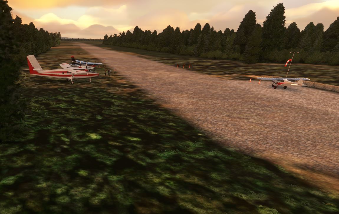
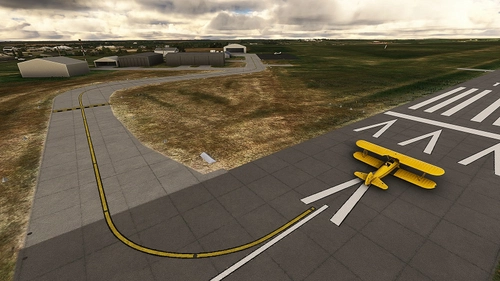
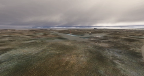
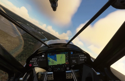
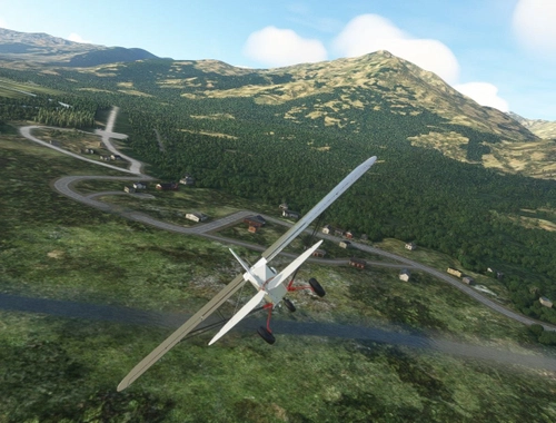
My choice is to fly the Dalton in a small bush plane with big tires.
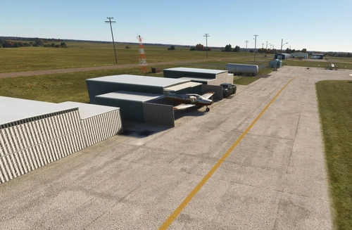
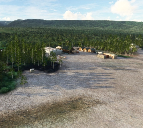
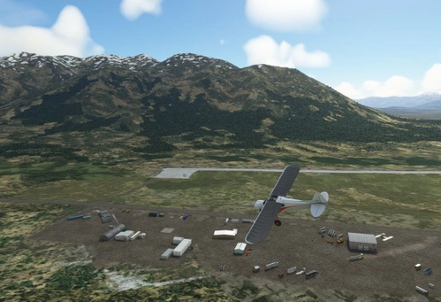
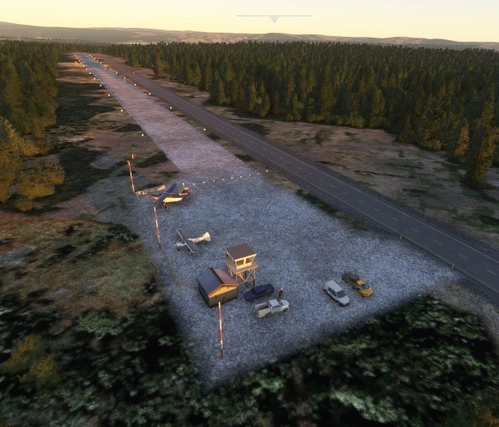
Livengood Camp is the first of the 10 airstrips along the Dalton Highway.
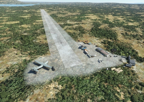
Dimensions: 3000 x 50 feet / 914 x 15 meters
Surface: Gravel in Good Condition
Runway 15 Runway 33
Installation
Copy the tn-airport-4ak-livendgood-camp folder inside of the zip file into your MSFS Community folder.
Many thanks to the creators of the Required and Recommended libraries. If you have not previously installed these libraries in your Community folder, some objects may not be visible in your sim. Remember, you only have to install these one time. Also, go to the sim marketplace and download the free UK2000 Scenery Common Library. All Microsoft World Updates should be installed also.
Easter Egg is installed.
Dependencies
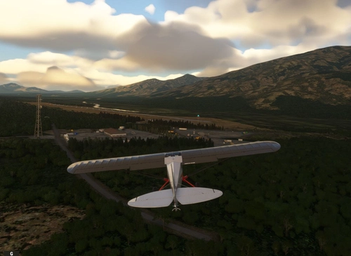
Livengood Camp Airport (4AK)
The Alyeska Pipeline Service Company built the 400 mile "Haul Road" from Livengood, just north of Fairbanks, to the north slope oil fields at Prudhoe Bay. The pipeline parallels the road. Mostly gravel, the road was built to handle the hundreds of heavy construction vehicles that used it daily.
User Reviews
1 reviews
Location
More Information
Version History
Removed streetlights from Dalton Highway. Added signage and other good stuff.
Featured in Collections(3)

US Highly recommended
Sceneries that bring the US to life
Alaska
All things Alaska
Dalton Highway Airstrips
The Dalton Highway was built in 1974 as a supply road for the Trans-Alaska Pipeline System, connecting Fairbanks to Prudhoe Bay to support oil extraction and transport. It was constructed quickly—about 390 miles in just five months—after earlier attempts at winter roads failed, and later named after Arctic engineer James W. Dalton.
Related
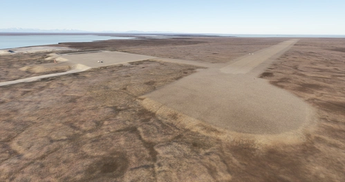
Galbraith Lake Airport (PAGB)
This airport, just off the Dalton Highway, was a major supply link during the construction of the Alaska pipeline during the 70's. The Dalton Highway, also called the Haul Road, is one of the northern-most roads in the world. It also has a camp site for motor homes and trailers for the weary Dalton highway travelers.
by 55tom55
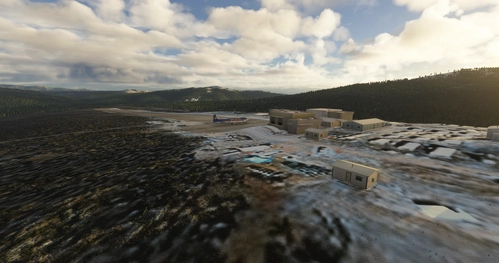
Coldfoot Airport (PACX)
Coldfoot got its start as a gold mining town in the early 1900s. It now serves as a highway and pipeline maintenance camp. The airport serves to support the camp and handle tourism into the Brooks Range. As the name implies, Coldfoot can get quite cold. However, the summer months do bring temperatures into the seventies.
by 55tom55
PASC - Deadhorse Airport - Prudhoe !SIMPLE!
PASC - Deadhorse Airport is a simple add-on for Microsoft Flight Simulator, offering basic enhancements to the airport. This update includes two custom terminals, replaced hangars, new ground textures, and updated taxiway signs. It aims to provide a more realistic representation of Deadhorse Airport, despite its simplified nature.
by Chak991
Five Mile Camp Airport (PAFV / FVM)
Five Mile Camp is the second of the 10 airstrips built along the 400 mile Haul Road. The camp here was built to support construction of the highway and the North Slope pipleine. The mostly gravel road is one of the northern most roads in the US. Air strips were needed along the route to support the construction camps. (See map.)
by 55tom55
over 2 years ago
Thank you very much for this update. I remember the old times when the whole pipeline was built at the fsx. I flyed there many times when I was a young sim-pilot.
Willowfsx from Germany (Would like to live in Alaska) 😊