Description
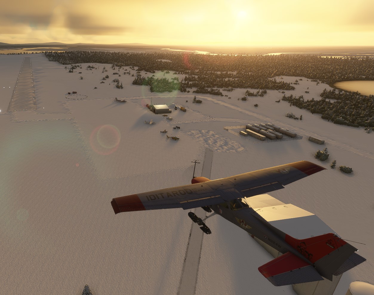
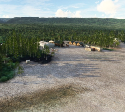
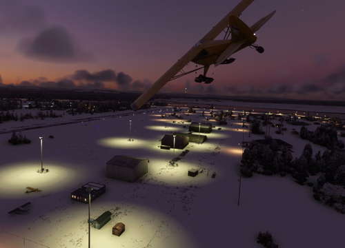
Nikolai - Iditarod checkpoint #7
Nikolai: Population 125 -- This is the first of many Native villages along the Iditarod Trail. In 1963, the local residents cleared their own airstrip. This made year-round access to the outside world possible.
Summer temperatures in the area range from 40 to 80 degrees but in the winter it can get mighty cold with temperatures ranging between 30 degrees below zero and 30 degrees above. They have about 16 inches of precipitation each year including about six feet of snow. The Kuskokwim River is usually open from June through October for boat traffic.
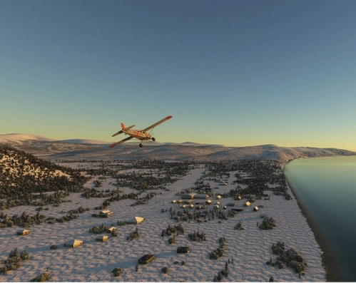
Nikolai Airport is one of 24 airstrips and airports on the Iditarod Trail that runs from Anchorage to Nome. The Iditarod Airforce is a group of pilots who volunteer their time and planes to service the 24 race checkpoints. Their missions include delivering food for the teams, picking up injured sled dogs, and many other logistical services for the volunteers who manage the checkpoints.
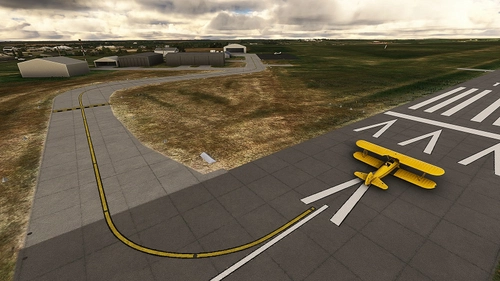
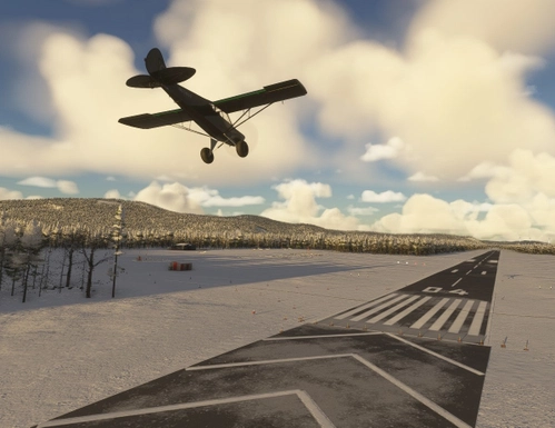
Dimensions: 4000 x 75 feet (1200 x 25 meters)
Surface: Gravel
Runway: 05 / 23
To learn more about the Iditarod, its airports, and the race itself, go to the Iditarod.com website. I’ve included a link to a short video, Wings of the Iditarod that features the Iditarod Airforce.
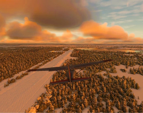
To replicate Iditarod conditions, I recommend setting your sim Weather parameters to:
Month = March. Snow Depth = 29”. Temperature = 0 degrees.
Installation:
Copy the airport folder inside of the Zip file into your MSFS Community folder.
Many thanks to the creators of the Required and Recommended libraries. If you have not previously installed these libraries in your Community folder, some objects may not be visible in your sim. Remember, you only have to install these one time. Also, go to the sim marketplace and download the free UK2000 Scenery Common Library and the free Emerald Library. All Microsoft World Updates should be installed also.
An Easter Egg is hidden.
Dependencies
Comments(5)
Log in to join the discussion
Log Inover 1 year ago
almost 4 years ago
Neat bit of scenery! The actual runway (excluding the apron part) is misaligned by no more than two degrees clockwise—the RNAV runway 23 instrument approach with the correct bearing is a bit awkward as a result. See: https://i.imgur.com/fsQFumo.jpeg
The other runway at your PAMC (McGrath) scenery also suffers from the misalignment of similar magnitude.
almost 4 years ago
1.0.7 Temporary fix until SU10 availability.
Prior to SU8 I had created 20 airports in Alaska that were all missing from the sim. Good news: SU8 added a ton of new default airports. Bad news: it broke many of my built airports, so anyone who downloaded them after SU8 saw messed up runways, aprons, vegetation, etc. I will be re-editing all of them and republishing them to be SU10 compatible. TBA.
Also, if you are a Little NavMap, Navigraph, ForeFlight, etc user, you may have to reload these there as well.
almost 4 years ago
Thank you for the update! I went to have another look at Nikolai—the asphalt apron where the actual runway is located is gone, though the misaligned runway is still present ( https://i.imgur.com/NY7EtWp.jpeg ). The same goes for PAMC (McGrath).
I do have Navigraph installed and they are prioritized using Navigraph's recommended settings to not cause conflicts over user scenery.
It's probably more helpful if I specify some details here! Your scenery places a cement runway that is oriented, from runway 5, 51°M. In real life, the runway pavement is gravel and orientated 49°M from runway 5. This chart confirms the diagram of the airport: https://i.imgur.com/ubPcycL.jpeg
The base airport from the game seems to implement the correct latter setting. If the above is the case, I believe you should be able to get away with placing only the scenery objects without needing to touch or redo any of the airport-related settings (i.e. runway and aprons). At most, you'll only need to relocate some objects and use exclusion polygons to match the configuration in real life.
P.S. — I like to use MSFS2020 Map Enhancement ( https://flightsim.to/file/19345/msfs-2020-google-map-replacement ) to reference with aerial imagery when I work on airport data—it's very useful for places where Bing Data World Graphics may not cover the area to use for reference.
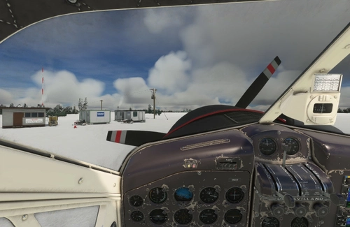
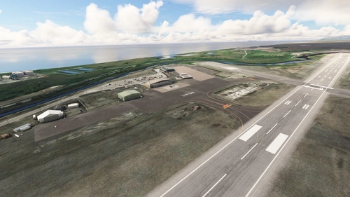
Nikolai Airport (PAFS)
Nikolai: Population 125 -- This is the first of many Native villages along the Iditarod Trail. In 1963, the local residents cleared their own airstrip. This made year-round access to the outside world possible. This is Iditarod checkpoint #7. To learn more about the Iditarod, it's airports, and the race itself, go to the Iditarod.com website.
User Reviews
2 reviews
Location
More Information
Version History
Version 2 is a major upgrade. The hangar has been replaced with a snow removal equipment building (SREB). More recent images and data have helped to develop a more accurate rendition. I have added a lot more scenery objects, as well as fixing textures, lighting, and signage.
Featured in Collections(3)

Related
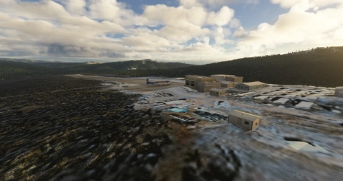
McGrath Airport (PAMC)
McGrath: Population 400 -- McGrath is located in the interior of Alaska. The only way to get here is by airplane, unless you’re crazy enough to drive a snow-machine or mush your dog team on the Historic Iditarod Trail. The airport covers an area of 641 acres at an elevation of 341 feet. It has two runways: 16/34 is 6,000 by 100 feet with an asphalt surface and 5/23 is 2,000 by 60 feet with a gravel surface. It handles an average of 30 flights per day, 80% commercial, and 20% general aviation.
by 55tom55
PAOM Nome AK Version 3 20
Another complete rebuild of my PAOM scenery
by Mountainair
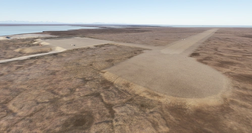
Skwentna Airport (PASW)
Skwentna has a population of about 30 people and lies on the south bank of the Skwentna River at its junction with Eight Mile Creek. This small village is located west of the Mat-Su Valley and is a 70-mile flight from Anchorage. The first permanent settlers did not show up until after the Alaska Road Commission cut the Iditarod National Historic Trail in 1908. Roadhouses were later constructed along the trail, including the Old Skwentna Roadhouse, to service the prospectors, trappers, and Alaska Natives who used sled dogs to transport goods over the trail.
by 55tom55
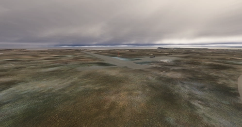
Yentna Bend Strip (0AK4)
Yentna Bend Strip was not originally included in MSFS 2020. I have created it from aerial photos and images I found on the internet and from the data on the AirNav and SkyVector web sites. It is a simple 1000 foot dirt/turf strip. The only real feature is the Yentna Bend Roadhouse which is the checkpoint and reststop for the sled dog racers.
by 55tom55
over 1 year ago
thank you so much for your great work. I love it to explore Alaska.
Best wishes from the far Germany