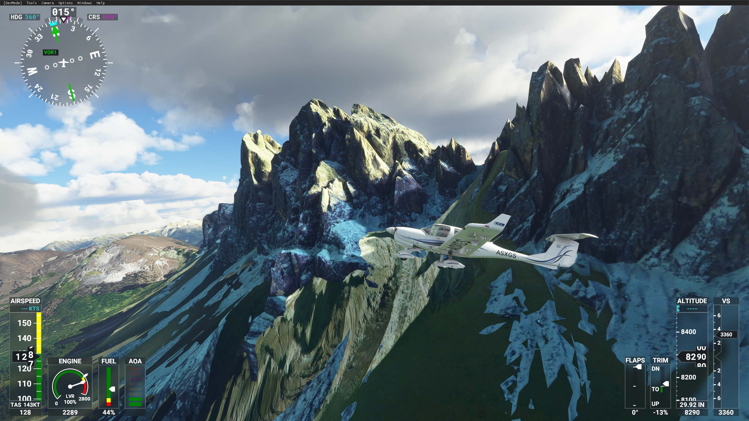
Description
Gruppo delle Odle, Dolomiti purtroppo essendo molto ampio si è dovuto limitare la definizione di cattura.
rimane un Work in Progress ma già così è meglio dell'originale.Rimane un abbellimento puramente estetico, purtroppo mancano funzionalità nel tool SDK che permettano di lavorare bene le mesh 3d. Questo implica purtroppo anche il mancato supporto alle stagioni. La neve cadrà ma "sotto il modello"...
vi sono errori, ma sto cercando di aggiustarli :)
Odle Group, Dolomites unfortunately being very large, the definition of catch had to be limited.it remains a Work in Progress but this is already better than the original. It remains a purely aesthetic embellishment, unfortunately there are no features in the SDK tool that allow you to work the 3d meshes well... this problem cause NO Stagionality.. so in winter, snow are under the model...
there are errors, but I'm trying to fix them :)
Comments(21)
Log in to join the discussion
Log Inabout 5 years ago
I like the idea of bringing the Odle/Sassolungo/Sella area from Google to MSFS, but it's incompatible with the Italian alps 20m DEM (https://flightsim.to/file/14772/italian-alps-20m-dem-high-resolution-terrain-elevation-data-from-lidar-imaging). I haven't checked if it works better with the default scenery.
It does some weird thing where the normal (DEM) terrain and the scenery from this mod are both there and only the higher one is visible.
The same applies to the Sassolungo mod (https://flightsim.to/file/2473/italy-sassolungo).
over 5 years ago
over 5 years ago
over 5 years ago
over 5 years ago
over 5 years ago
over 5 years ago
over 5 years ago
over 5 years ago
over 5 years ago
over 5 years ago
over 5 years ago
over 5 years ago
over 5 years ago
over 5 years ago
over 5 years ago
Could you explaine how you get it? In italiano se puoi
over 5 years ago
over 5 years ago
Gruppo Odle
Enhance your simulation with the Gruppo Odle scenery package for Microsoft Flight Simulator. This add-on brings improved aesthetics to the Dolomites region, though still a Work in Progress. The detailed 3D mesh and winter effects may have limitations, but ongoing updates aim to enhance your flying experience in this picturesque area.

User Reviews
7 reviews
More Information
Version History
No version history available.
Related
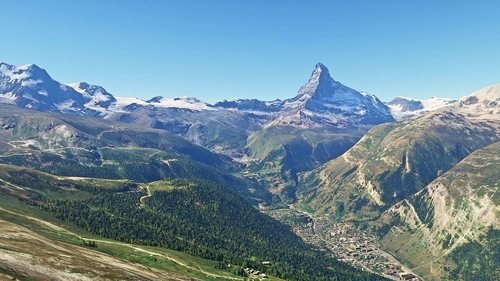
Matterhorn Mountain
Explore the stunning beauty of Matterhorn mountain with this add-on, featuring a fully photogrammetry-based model and terraformed edges for a more realistic experience. Version 2.0 includes new additions such as improved LOD levels, color-corrected textures, cable car pylons, and populated forests. Install by dragging the folder into your "Community" folder and enjoy the enhanced scenery around this iconic peak.
by NikPrist
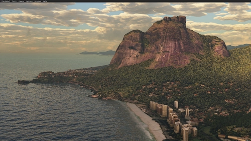
Rio de Janeiro Megapack Montanhas
Explore the detailed mountainous landscape of Rio de Janeiro in this updated megapack. Precisely positioned mountains like Pedra da Gávea and Pão de Açúcar using Google Maps models. Create your mod via Earth2MSFS for an effective import process. Stay tuned for further updates with optimized textures and added landmarks. Individualize your experience by adding specific mountain ranges to enhance your simulation.
by RodrigoMoraes94
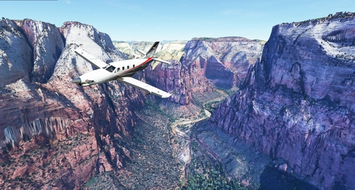
Zion Canyon National Park, Utah
Explore the breathtaking beauty of Zion Canyon National Park in Utah with this V1.0 scenery add-on. Discover well-known locations like the Zion Canyon Overlook, Angels Landing, and more. Experience corrected terrain heights and improved color blending for a more immersive flight simulation. Simply extract the file to your Community Folder and start your aerial adventure in this stunning national park.
by Jeppeson2001
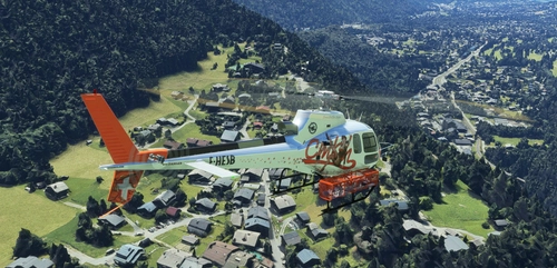
Chamonix-Mont-Blanc, Rhône-Alpes, France - Valley
Explore the stunning Chamonix-Mont-Blanc valley in Rhône-Alpes, France with this addon, including a semi-fictional DZ at Argentière. Enhance your experience by combining it with the Mountains addon. Download, extract into community folder, and enjoy photogrammetry and object data. This addon requires a minimum configuration for optimal performance.
by AdrianL
8 months ago