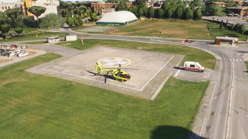
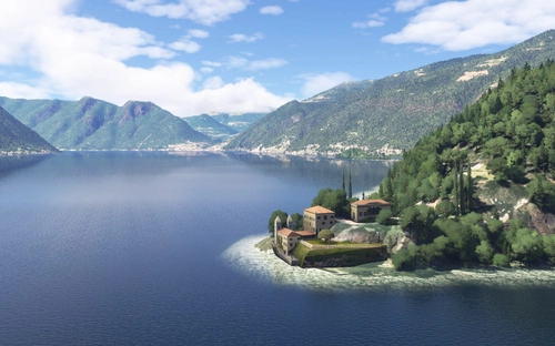
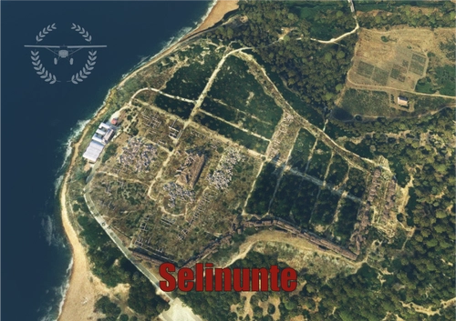
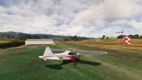
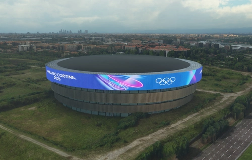
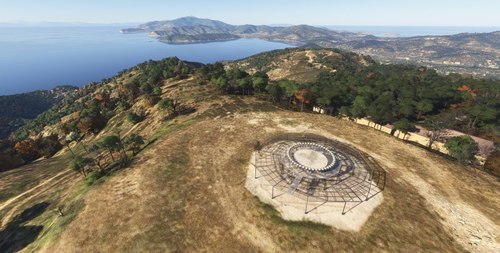
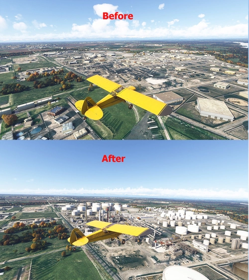
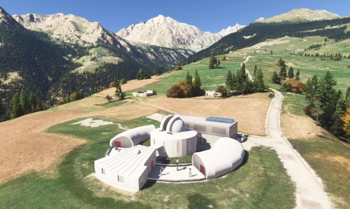
Discover the best Italy scenery for Microsoft Flight Simulator 2020 and Microsoft Flight Simulator 2024. Fly across a country filled with historic cities, dramatic mountain ranges, Mediterranean coastlines, islands, volcanoes and internationally recognised landmarks. Explore Rome, Milan, Venice, Naples, Florence, Turin, Bologna and Palermo, or plan scenic routes through the Italian Alps, Dolomites, Tuscany, Sicily, Sardinia, Lake Como and the Amalfi Coast. You can find detailed scenery for Rome Fiumicino, Milan Malpensa, Milan Linate, Venice Marco Polo, Naples, Bologna, Catania and many regional airports and general aviation airfields. Enhance your simulator with custom terminals, realistic airport layouts, photogrammetry improvements, ancient ruins, cathedrals, castles, bridges, ports and coastal scenery. Italy offers excellent possibilities for airline operations, island hopping, mountain flying, helicopter tours and relaxed VFR journeys between historic towns and coastal destinations. Browse free and premium Italy scenery downloads from the MSFS community and discover detailed Italian airports, cities, landmarks, mountains and coastlines for MSFS 2020 and MSFS 2024.