Description
**updated to bring in line with world update 12**
many may have noticed by now some fairly signicant changes to the aerial imagery with the new world update.
i must admit im very dispointed with the update for the bay of islands, the previous imagery that gave us a great looking low tide look has now in my opinion, be completly gutted, gone are the light blue waters replaced with a dark cold look with even less detail.
it has made me question my continued support for this area due to these changes.
I am happy that we finally have a good looking hole in the rock model, with this model i will atleast begin work on a helipad for the island
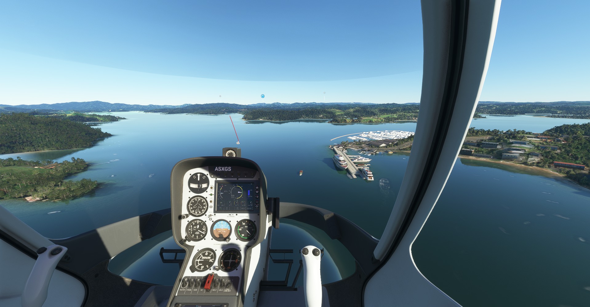
The Bay of Islands is an area on the east coast of the Far North District of the North Island of New Zealand. It is one of the most popular fishing, sailing and tourist destinations in the country. It is 60 km (37 mi) north-west of the city of Whangarei. Cape Reinga, at the northern tip of the country, is about 210 km (130 mi) by road further to the north-west.
focusing on Kerikeri, Waitangi, Paihia, Russell and the greater bay of islands.
this mod aims to make changes around the cost, and in the towns bringing them closer to the real world.
current version designed with orbx mesh installed
Dependencies
Comments(10)
Log in to join the discussion
Log Inover 3 years ago
thanks for letting me know, ill have to keep an eye on things
over 3 years ago
Don't give up on this excellent mod. Having visited the area I appreciate what you are doing! Good work.
over 3 years ago
Nice Job as all ways.
over 3 years ago
Thank you for creating this scenery. Good job. The next information is not a criticism but simply advice:
-Update the name of the modellib.BGL file in all of the scenery files to reflect MS/Asobo guidelines (Oct. 2020) to give it a unique name. An easy way to do this: adding the 'ICAO code' for airports to the file: Example (ICAO-modellib.BGL) or in this case, maybe nzkt-modelLib.BGL, and then update the layout.json file to reflect the new name. Always give each modelLib file a unique name.
-The Problem: MSFS only reads the first file in the Community folder named modellib.BGL and then uses that file for all others with the same name. Renaming it avoids conflicts with any other scenery in the Community folder and gives your scenery the proper appearance with fewer problems/conflicts with other files in the Community folder.
-The same is true for the 'mycompany' & 'mymaterials' folders if you ever use those, as well as (textures) 'MaterialLibs\textures\' or 'MaterialLibs\mymaterials\textures\' if that ever applies to your scenery.
-Just remember to update the layout.json file so the entries match the folder or file names.
-Read about the issue 'modellib.BGL' for developers at: https://forums.flightsimulator.com/t/scenery-creators-please-move-or-rename-your-modellib-bgl/307563
over 3 years ago
thanks for that, this kind of info really appreciated 👍
over 3 years ago
This will be enjoyable to fly around. I loved staying there for 2 weeks, going out on the boats to watch the dolphins and the fantastic marae at Waitangi. Thanks for this.
over 3 years ago
Guh??
Bay of Islands improvement mod
The Bay of Islands is an area on the east coast of the Far North District of the North Island of New Zealand. It is one of the most popular fishing, sailing and tourist destinations in the country. It is 60 km (37 mi) north-west of the city of Whangarei. Cape Reinga, at the northern tip of the country, is about 210 km (130 mi) by road further to the north-west.

User Reviews
4 reviews
Location
More Information
Version History
minor changes to water exclusion. there seems to be issues with the current sdk and water exclusion any feedback regarding water placement please let me know
Related

Swiss mountains tree fix (trees on mountains removed)
A comprehensive mod fixing tree placement on Swiss mountains, particularly removing inaccurately placed trees on mountain peaks. The update includes a shift to more realistic conifer trees in the Alps and an expansion to border areas of France, Italy, and Austria. From Alpstein Säntis to Stockhorn, numerous locations across Switzerland have been meticulously corrected for a more authentic flight experience.
by THEOLI4D

Shorter Trees / Tree Height Modification VERSION 4.0 for MFS2020 (shorter, realistic trees)
Experience realistic and shorter trees in Microsoft Flight Simulator with the Shorter Trees / Tree Height Modification VERSION 4.0 add-on. Compatible with the latest version of MSFS, this mod provides adjusted tree heights for a more authentic flying experience. Update includes enhanced tree coloration blending seamlessly with photogrammetry trees. Installation is simple - just copy the folder into your community folder and enjoy a new perspective from the skies.
by ARIF STUDIOS - Adnan Arif

AUSTRIA 10m DEM - High Resolution Terrain Elevation Data from LIDAR Imaging
Explore the stunning terrain of Austria with this mod featuring high-resolution LIDAR data, offering a mesh resolution of 10m for a more realistic flight experience. Flatten lakes, rivers, and eliminate any terrain artifacts as you soar over the Austrian landscape. Divided into regions for convenience and performance optimization, this mod enhances the mountain shapes to mirror reality and provides a smoother flying experience. Experience Austria like never before with enhanced elevation data and realistic terrains.
by Troglodytus

SWITZERLAND 20m DEM - High Resolution Terrain Elevation Data from LIDAR Imaging
Explore the beauty of Switzerland with this mod offering high resolution terrain elevation data using LIDAR imaging. The mesh resolution is 20m, providing exceptional detail with a height resolution of 0.1m. Update includes extreme LIDAR meshes for specific regions. Please note potential performance impacts and report any bugs for further improvements. Fly VFR over Switzerland with enhanced realism and accuracy.
by Troglodytus
over 3 years ago
Regarding the water exclusion polygons: Yes, there is a bug, it was known since Beta of the SU12, but Asobo did not fix it :/
https://forums.flightsimulator.com/t/water-exclusion-polygons-stopped-working-in-1-31-18-0-and-are-still-broken-in-1-31-22-0/577738/71