
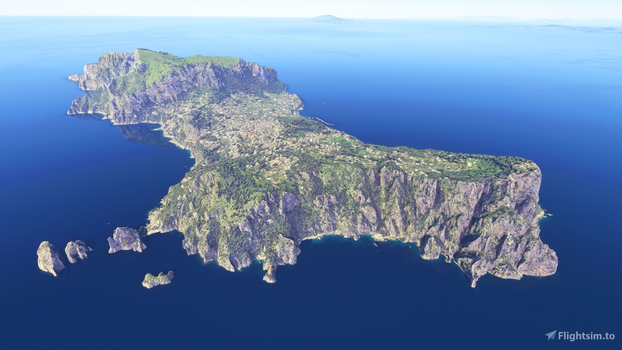
Description
PLEASE READ
This landscape was used as a "testing ground" while I was preparing my guide for Thalixte's Google Earth Decoder Optimization Tools. It is a very basic conversion of Google's photogrammetry (LOD 17-19), with minimal modifications and missing any kind of realistic/customized night-time lighting. Thus, it should be considered as a "proof of concept" and I invite creators more expert than me to improve on this scenery.
DESCRIPTION
The island of Capri, one of the gems of the Mediterranean Sea, just a quick boat trip (or a short flight!) away from Naples.
Capri is one of the most popular tourist destinations in the world, beloved for its dramatically craggy coastline, its sea caves tucked into the cliffs, Roman villas and the glamorous yet informal feel of its island villages.
INSTALLATION
Unzip the ojo-capri.zip file in the Community folder
This is NOT compatible with my previous work, that was focused exclusively on the "Faraglioni" (the sea stacks on the south eastern coastline). If you have that add-on installed, please remove it before installing this one
Location
Capri, Italy
Explore the picturesque island of Capri, Italy in Microsoft Flight Simulator with this basic conversion of Googles photogrammetry, offering a sneak peek at the stunning Mediterranean landscape. From craggy coastlines to Roman villas, experience the charm of Capri just a short flight away from Naples. Please note that this scenery serves as a "proof of concept," inviting more experienced creators to enhance and customize it further.


User Reviews
3 reviews
Version History
No version history available.
Related
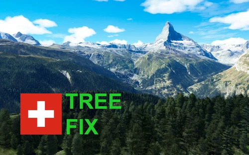
Swiss mountains tree fix (trees on mountains removed)
A comprehensive mod fixing tree placement on Swiss mountains, particularly removing inaccurately placed trees on mountain peaks. The update includes a shift to more realistic conifer trees in the Alps and an expansion to border areas of France, Italy, and Austria. From Alpstein Säntis to Stockhorn, numerous locations across Switzerland have been meticulously corrected for a more authentic flight experience.
by THEOLI4D
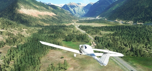
Shorter Trees / Tree Height Modification VERSION 4.0 for MFS2020 (shorter, realistic trees)
Experience realistic and shorter trees in Microsoft Flight Simulator with the Shorter Trees / Tree Height Modification VERSION 4.0 add-on. Compatible with the latest version of MSFS, this mod provides adjusted tree heights for a more authentic flying experience. Update includes enhanced tree coloration blending seamlessly with photogrammetry trees. Installation is simple - just copy the folder into your community folder and enjoy a new perspective from the skies.
by ARIF STUDIOS - Adnan Arif
AUSTRIA 10m DEM - High Resolution Terrain Elevation Data from LIDAR Imaging
Explore the stunning terrain of Austria with this mod featuring high-resolution LIDAR data, offering a mesh resolution of 10m for a more realistic flight experience. Flatten lakes, rivers, and eliminate any terrain artifacts as you soar over the Austrian landscape. Divided into regions for convenience and performance optimization, this mod enhances the mountain shapes to mirror reality and provides a smoother flying experience. Experience Austria like never before with enhanced elevation data and realistic terrains.
by Troglodytus
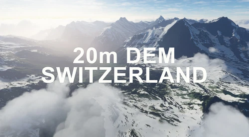
SWITZERLAND 20m DEM - High Resolution Terrain Elevation Data from LIDAR Imaging
Explore the beauty of Switzerland with this mod offering high resolution terrain elevation data using LIDAR imaging. The mesh resolution is 20m, providing exceptional detail with a height resolution of 0.1m. Update includes extreme LIDAR meshes for specific regions. Please note potential performance impacts and report any bugs for further improvements. Fly VFR over Switzerland with enhanced realism and accuracy.
by Troglodytus
Log in to join the discussion
Log InComments(8)
over 4 years ago
Super, truly close to life, it seems to be there. Super recommended
about 5 years ago
Grandissimo Lavoro! Conosco perfettamente l'isola da terra e dall'alto e vi assicuro che ha fatto un lavoro egregio. Thanks for your hard work. I am a Pilot living on the island and the details are amazing. The add-on is a must if you want enjoy the Gulf of Naples
about 5 years ago
Ho scaricato Capri, prima di disinstallare i Faraglioni; cosa che ho fatto in un secondo momento. A questo punto mi capita che:
1) In volo sul golfo di Napoli, circa a metà tragitto, Capri scompare dall'orizzonte per poi ricomparire durante l'avvicinamento, pezzo per pezzo, fino a diventare "intera".
2) Se volo di notte, Capri non ha le luci, mentre la versione precedente le aveva.
Queste due situazioni dipendono dal fatto che ho scaricato Capri prima di disinstallare i Faraglioni?
about 5 years ago
Ciao, come ho scritto in descrizione, io considero i Faraglioni come non compatibili con Capri "completa" perché anche quest'ultima li ha (in versione leggermente meno definita) e i due modelli credo finiscano per sovrapporsi.
L'apparizione dell'isola a pezzettoni è dovuta probabilmente al caricamento necessario per far comparire l'add-on nel simulatore. Fino a una certa distanza, il gioco usa la versione originale dell'isola, poi quando entri nel "raggio di caricamento" dell'add-on in memoria, l'isola viene appiattita e poi ricostruita pezzo per pezzo. Se riesco, proverò ad aggiungere qualche rilievo abbozzato per eliminare almeno l'effetto appiattimento che hai visto. Purtroppo le parti dettagliate dell'isola verranno sempre caricate a pezzi.
Per le luci: anche questo è un limite che ho citato in descrizione. Dato che ho usato la fotogrammetria di google, di tutte le luci create proceduralmente da Flight Simulator rimangono solo quelle associate alle strade. Si tratta di un limite noto per questo tipo di add-on. Non so se riuscirò ad aggiungerne qualcuna manualmente, ma ci proverò. Si tratta in ogni caso di un add-on realizzato per altri scopi (video-tutorial) e che ho deciso di pubblicare, in primo luogo perché Capri in FS non rende giustizia a quella vera, e poi per invogliare qualche modder esperto a perfezionarlo.
Grazie per averlo provato!
about 5 years ago
Grandissimo lavoro! Spero che vengano aggiunte altre luci notturne, il progetto di base è ottimo.
about 5 years ago
Grazie OJo. Suggerisco il tag per farla finire in Italy che credo manchi.
about 5 years ago
Grazie, ho provveduto!
about 5 years ago
Thanks, it looks great. Your video on PG is also very clear thank you.
Capri, Sorrento and the Amalfi coast are some of my favourite places, if a little busy !