Description
A Large area incorporating most of Sedona Arizona. Created for MSFS2020 By Richard 'Georender' Goldstein January 2021
I highly recommend at least one flight with the time set to August at around 8:20 in the evening with few clouds!!!
Introduction................
Thank you for downloading this scenery.
It is not the final version, but I will wait until we have a suitable DEM SDK in order to create a definitive ground blending capability and refine the scenery complexity/region sizes etc.
There are quite a few visual glitches, off colour textures, missing sections, holes etc. Not including those areas didn't seem like an option so they are included warts 'n all. There's a large missing texture in one area, just avert your eyes :-) there is plenty else to look at. Hopefully fixed in next version.
At present it is not possible to land on the detailed scenery areas. They are not solid in this respect. Hopefully that can change in the future.
The scenery is very efficiently created, but loading times will be slightly longer than usual. Especially if you are not using an SSD drive for scenery.
I highly recommend that you add one or two centimeters of snow for terrain blending purposes. Furthermore, the blue tint of sky reflected off of the snow adds a colour which is complimentary to the orange rocks and this enhances the depth and realism of the terrain relief.
Try different times of day and various weather conditions. Each has its own charm.
INSTALLATION:.................
Unzip. Then place all seven folder that are prefixed with 'Geo_' into your Community folder. Thats all there is to it. In your Community folder you will have seven new folders with the prefix Geo_Sedona..... followed by a number.
How to find the scenery region
Go to Sedona airport ICAO KSEZ.
..................CREDITS........................
Thanks go to Jonahex111 for his brilliant 'Google Earth Decoder' tool.
All terrain data owned by Google. This scenery cannot be sold or used in a commercial product. I do not own any part of it.
Comments(43)
Log in to join the discussion
Log Inalmost 4 years ago
I love what you guys did with this scenery! It looks amazing. Averted my eyes at certain spots, like you said😁,but also flew through large gaping holes in the SouthEast. Which was fun glitching, that also made for some special wallpapers.
Unfortunately, FPS drop makes that I must park this till later (i.e. till I have the very best of GPU's). Though a new PC with very decent specs, l barely made it back to the airfield (7 fps flying north).
Still: thanks for your work, really appreciated!
almost 4 years ago
There is a new Sedona Scenery in the Marketplace of MSFS that costs money but actually looks pretty good and I personally had pretty much no FPS drop.
It's by X-Codr Designs and in the official ingame marketplace of MSFS.
almost 4 years ago
could you please adjust the airport elevation by the helipad since the WU 10 update. Thank you.
over 4 years ago
Very nice, thanks.
over 4 years ago
almost 5 years ago
Thank you so much for this - this is amazing work. Hopefully the other bits can be patched up to make this perfect. At it's current state though this is still better than most sceneries I've seen on MSFS.
about 5 years ago
about 5 years ago
about 5 years ago
I read you don't intend to go commercial anymore, but rest assured that would be really welcome. I for one would be glad to see your kind of wonderful local airfields back.
If I may make a side comment, you must know there's already out a well-established, commercial Orcas Island airport for MSFS. However, it's sadly incomplete to me. Every time I visit the place, I look at the old Orcas Biplane Rides hangar, now rusty, closed and empty, and I sorely miss the detailed version you made for Bill & Lynn Lyons' Travel Air pack, with the most wonderful interior I've ever seen in a hangar.
Wow, those were golden times.
Thanks once again, best regards.
about 5 years ago
All the best,
Richard
about 4 years ago
Is any update planned? I downloaded the scenery today and it's great. However, there are bugs such as white texture boxes and changing the color of mountains to slightly pink in certain places.
over 5 years ago
over 5 years ago
over 5 years ago
I was going to fix these in the next few days when I had some time, but thanks for patching it.
over 5 years ago
The "large missing texture in one area, just avert your eyes :-)" described by the author above is apparently the result of two corrupt textures in the following folder:
"Geo_Sedona1115\scenery\mycompany\TEXTURE"
What I did to temporarily "fix" the issue was copy two similarly colored uncorrupted files to my desktop, change their file names to the corrupted ones, and overwrite them over the corrupt textures. The resulting landscape blending isn't perfect when very close-up, but from a few hundred feet in the air it's not as glaring as that big missing white square.
To try this fix, just do this:
1. Go to the "Geo_Sedona1115\scenery\mycompany\TEXTURE" folder.
2. FIND AND COPY (COPY not CUT!) the following two files to your desktop or temporary location. These are two working textures that will serve as our "dummies":
205360406351560154_LOD00_0.PNG.DDS
205360407240440365_LOD00.PNG.DDS
3. Rename 205360406351560154_LOD00_0.PNG.DDS to 20536040706266326_LOD00.PNG.DDS
4. Rename 205360407240440365_LOD00.PNG.DDS to 20536040706266362_LOD00.PNG.DDS
5. Return the renamed files to the "Geo_Sedona1115\scenery\mycompany\TEXTURE" folder, and OVERWRITE the two original corrupt files when prompted.
Boot the sim and big white box will be gone.
Lastly, there is a big rock just across the valley from this too that renders HOT PINK and I think I've found the culprits as well. If I succeed in a similar fix, I'll post those file name "dummy" changes here too.... and of course... AWESOME work Georender! Thank You, Thank You, Thank You!
over 5 years ago
almost 4 years ago
Hello. Thanks for the corrections. It is a very beautiful scenery. Did you find the fix for the wrong pink colors? If so, I would ask for an instruction. Kind regards.
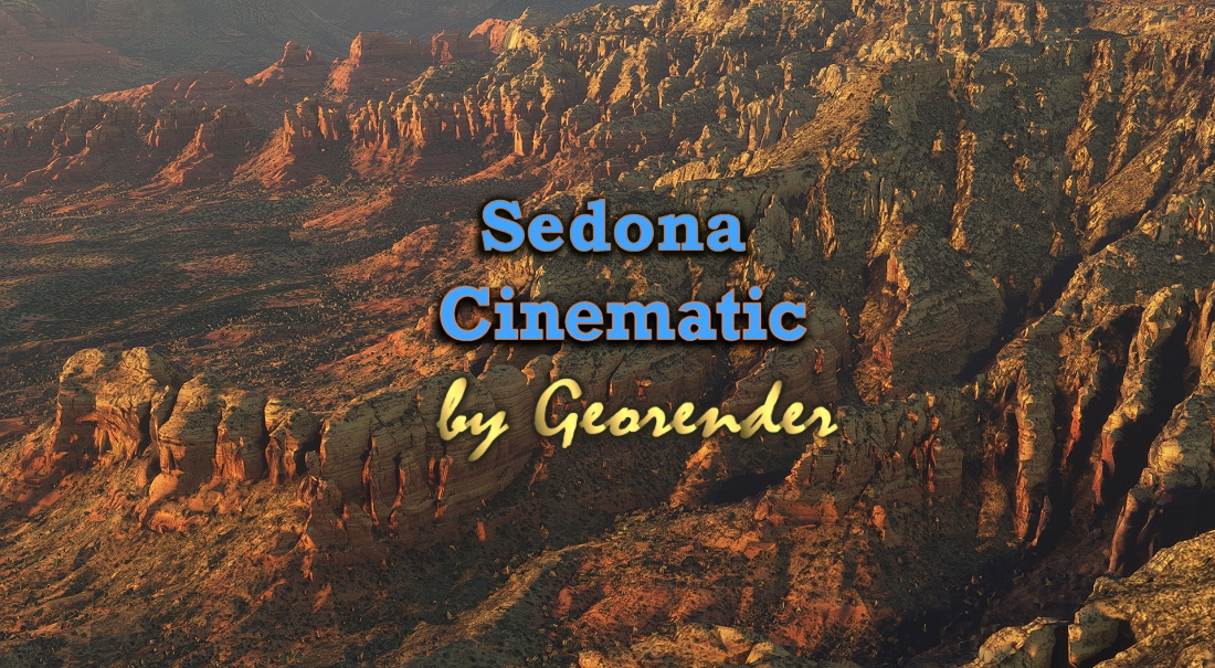
Sedona Cinematic
Discover the beauty of Sedona, Arizona, USA in Microsoft Flight Simulator with this cinematic scenery add-on created by Richard Georender Goldstein. Explore a large area of Sedona, complete with visual glitches and off-colored textures for a realistic flying experience. Immerse yourself in the stunning landscapes and try different times of day and weather conditions to fully appreciate this scenic destination. Simply unzip and place the provided folders into your Community folder to start your adventure in Sedona.

User Reviews
19 reviews
More Information
Version History
No version history available.
Related

Swiss mountains tree fix (trees on mountains removed)
A comprehensive mod fixing tree placement on Swiss mountains, particularly removing inaccurately placed trees on mountain peaks. The update includes a shift to more realistic conifer trees in the Alps and an expansion to border areas of France, Italy, and Austria. From Alpstein Säntis to Stockhorn, numerous locations across Switzerland have been meticulously corrected for a more authentic flight experience.
by THEOLI4D

Shorter Trees / Tree Height Modification VERSION 4.0 for MFS2020 (shorter, realistic trees)
Experience realistic and shorter trees in Microsoft Flight Simulator with the Shorter Trees / Tree Height Modification VERSION 4.0 add-on. Compatible with the latest version of MSFS, this mod provides adjusted tree heights for a more authentic flying experience. Update includes enhanced tree coloration blending seamlessly with photogrammetry trees. Installation is simple - just copy the folder into your community folder and enjoy a new perspective from the skies.
by ARIF STUDIOS - Adnan Arif

AUSTRIA 10m DEM - High Resolution Terrain Elevation Data from LIDAR Imaging
Explore the stunning terrain of Austria with this mod featuring high-resolution LIDAR data, offering a mesh resolution of 10m for a more realistic flight experience. Flatten lakes, rivers, and eliminate any terrain artifacts as you soar over the Austrian landscape. Divided into regions for convenience and performance optimization, this mod enhances the mountain shapes to mirror reality and provides a smoother flying experience. Experience Austria like never before with enhanced elevation data and realistic terrains.
by Troglodytus

SWITZERLAND 20m DEM - High Resolution Terrain Elevation Data from LIDAR Imaging
Explore the beauty of Switzerland with this mod offering high resolution terrain elevation data using LIDAR imaging. The mesh resolution is 20m, providing exceptional detail with a height resolution of 0.1m. Update includes extreme LIDAR meshes for specific regions. Please note potential performance impacts and report any bugs for further improvements. Fly VFR over Switzerland with enhanced realism and accuracy.
by Troglodytus
over 3 years ago
Is this just the terrain and vegetation? Or does this improve buildings and homes in Sedona and the surrounding area?