

Description
Pompei - 40°44'49"56 N 14°29'53"52 E
Archaeological site of Pompei (ITALY) - At the kind request of some friends, I dedicated myself to the creation of the archaeological site of Pompeii. I lost a lot of my free time but it was worth it! I just hope you like my job !! good wind
kelemaco
TRI0025 - ISS046
miccyke@libero.it
If you have enjoyed my work please invite me to continue by making a small donation at the following link: CONTINUA COSI'
Se hai apprezzato il mio lavoro invogliami a continuare effettuando anche una piccola donazione al seguente link: CONTINUA COSI'
Location
Archeological Site of Italy - Pompei
Explore the ancient ruins of Pompeii with this meticulously crafted add-on, showcasing the archaeological site in Italy. Immerse yourself in the historical charm of Pompeii, recreated with great attention to detail by the developer. Enjoy a realistic experience as you wander through the streets of this iconic ancient city.

User Reviews
8 reviews
Version History
No version history available.
Related

Swiss mountains tree fix (trees on mountains removed)
A comprehensive mod fixing tree placement on Swiss mountains, particularly removing inaccurately placed trees on mountain peaks. The update includes a shift to more realistic conifer trees in the Alps and an expansion to border areas of France, Italy, and Austria. From Alpstein Säntis to Stockhorn, numerous locations across Switzerland have been meticulously corrected for a more authentic flight experience.
by THEOLI4D
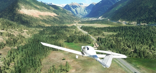
Shorter Trees / Tree Height Modification VERSION 4.0 for MFS2020 (shorter, realistic trees)
Experience realistic and shorter trees in Microsoft Flight Simulator with the Shorter Trees / Tree Height Modification VERSION 4.0 add-on. Compatible with the latest version of MSFS, this mod provides adjusted tree heights for a more authentic flying experience. Update includes enhanced tree coloration blending seamlessly with photogrammetry trees. Installation is simple - just copy the folder into your community folder and enjoy a new perspective from the skies.
by ARIF STUDIOS - Adnan Arif
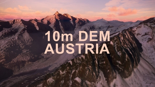
AUSTRIA 10m DEM - High Resolution Terrain Elevation Data from LIDAR Imaging
Explore the stunning terrain of Austria with this mod featuring high-resolution LIDAR data, offering a mesh resolution of 10m for a more realistic flight experience. Flatten lakes, rivers, and eliminate any terrain artifacts as you soar over the Austrian landscape. Divided into regions for convenience and performance optimization, this mod enhances the mountain shapes to mirror reality and provides a smoother flying experience. Experience Austria like never before with enhanced elevation data and realistic terrains.
by Troglodytus

SWITZERLAND 20m DEM - High Resolution Terrain Elevation Data from LIDAR Imaging
Explore the beauty of Switzerland with this mod offering high resolution terrain elevation data using LIDAR imaging. The mesh resolution is 20m, providing exceptional detail with a height resolution of 0.1m. Update includes extreme LIDAR meshes for specific regions. Please note potential performance impacts and report any bugs for further improvements. Fly VFR over Switzerland with enhanced realism and accuracy.
by Troglodytus
Log in to join the discussion
Log InComments(38)
about 2 years ago
about 2 years ago
about 2 years ago
over 2 years ago
over 2 years ago
over 2 years ago
about 5 years ago
Many thanks for culture and archeology !
about 5 years ago
about 5 years ago
Hi, letting apart the simupdate V issues, I just flew over Pompei withoutt any particular issue; very fine job, actually.
over 5 years ago
over 5 years ago
over 5 years ago
over 5 years ago
over 5 years ago
over 5 years ago
over 5 years ago
over 5 years ago