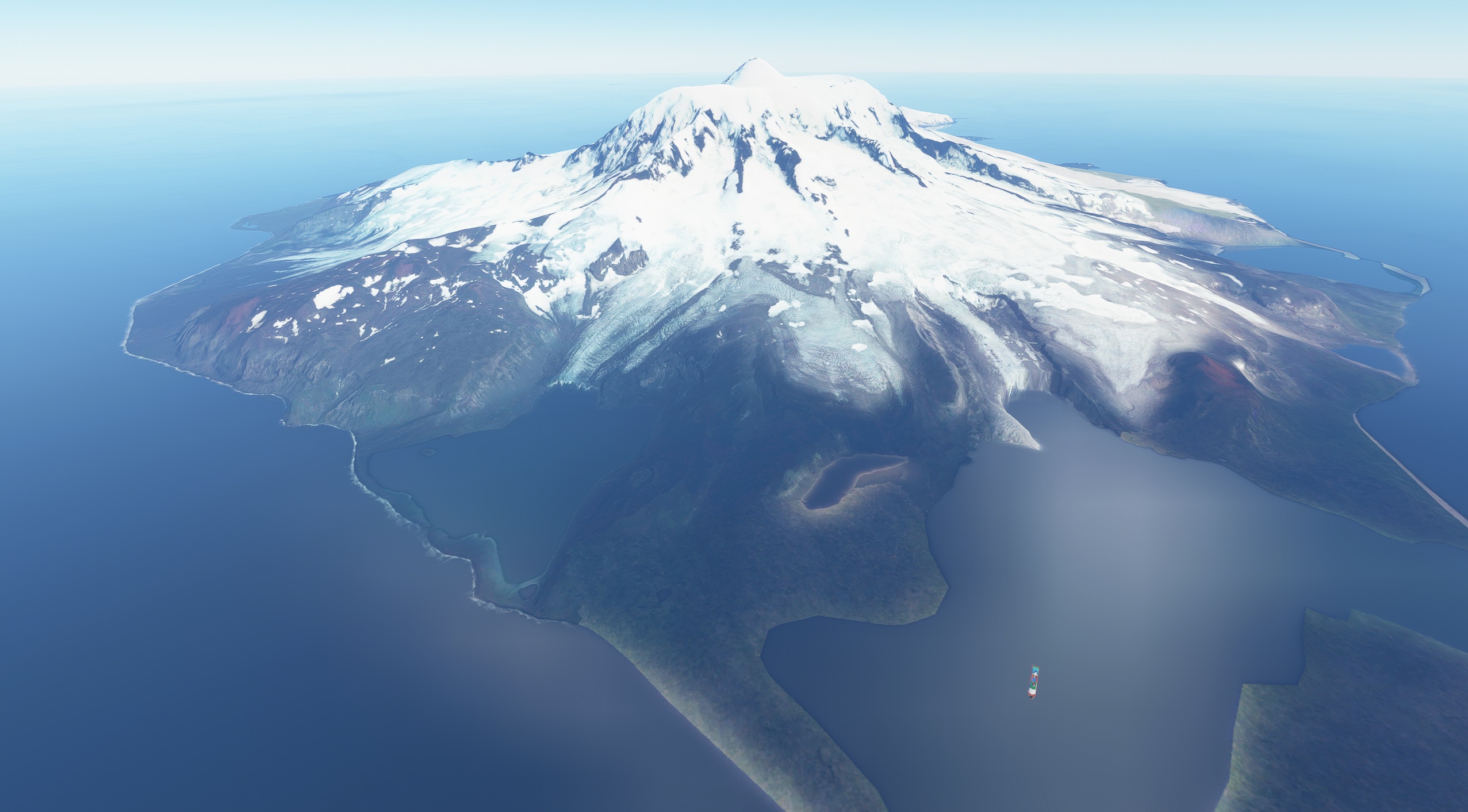
Description
My first try to create a photo scenery with Google and Earth 2 MSFS.
A small area is not covered probably due to lack of data? (Updates coming once I figured out how to set different LOD)
Hope you enjoy this frosty place.
On the scenery map, someone also made an airstrip for this Island.
Comments(10)
Log in to join the discussion
Log Inover 5 years ago
over 5 years ago
Not sure how to solve it.
over 5 years ago
over 5 years ago
youtube.com/watch?v=sP7oQaKPTlo not sure how to make a .cgl of it yet. But about to figure out.
over 5 years ago
Right now I don't think there is a easy and quick method like Ortho4xp for MFS. It's either merge every tile by hand or include 16k seperate files.
Here is another tutorial: https://www.jottacloud.com/s/1619d6c999b0618432a8ab3eb117e124950
over 5 years ago
over 5 years ago
over 5 years ago
over 5 years ago
Heard Island Antarctica - Photo Scenery
Explore the remote Heard Island in Antarctica with this photo scenery add-on for Microsoft Flight Simulator. Created using Google Earth data, with some areas awaiting future updates. Discover this frosty destination with detailed textures, including an additional custom-made airstrip for your flying adventures.

User Reviews
3 reviews
Location
More Information
Version History
No version history available.
Related
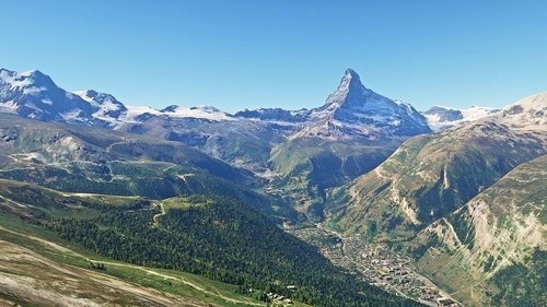
Matterhorn Mountain
Explore the stunning beauty of Matterhorn mountain with this add-on, featuring a fully photogrammetry-based model and terraformed edges for a more realistic experience. Version 2.0 includes new additions such as improved LOD levels, color-corrected textures, cable car pylons, and populated forests. Install by dragging the folder into your "Community" folder and enjoy the enhanced scenery around this iconic peak.
by NikPrist
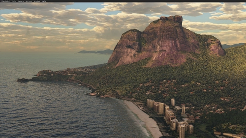
Rio de Janeiro Megapack Montanhas
Explore the detailed mountainous landscape of Rio de Janeiro in this updated megapack. Precisely positioned mountains like Pedra da Gávea and Pão de Açúcar using Google Maps models. Create your mod via Earth2MSFS for an effective import process. Stay tuned for further updates with optimized textures and added landmarks. Individualize your experience by adding specific mountain ranges to enhance your simulation.
by RodrigoMoraes94
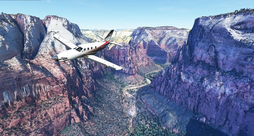
Zion Canyon National Park, Utah
Explore the breathtaking beauty of Zion Canyon National Park in Utah with this V1.0 scenery add-on. Discover well-known locations like the Zion Canyon Overlook, Angels Landing, and more. Experience corrected terrain heights and improved color blending for a more immersive flight simulation. Simply extract the file to your Community Folder and start your aerial adventure in this stunning national park.
by Jeppeson2001
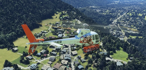
Chamonix-Mont-Blanc, Rhône-Alpes, France - Valley
Explore the stunning Chamonix-Mont-Blanc valley in Rhône-Alpes, France with this addon, including a semi-fictional DZ at Argentière. Enhance your experience by combining it with the Mountains addon. Download, extract into community folder, and enjoy photogrammetry and object data. This addon requires a minimum configuration for optimal performance.
by AdrianL
over 4 years ago
This addon is missing required layout.json and manifest.json files.