
Description
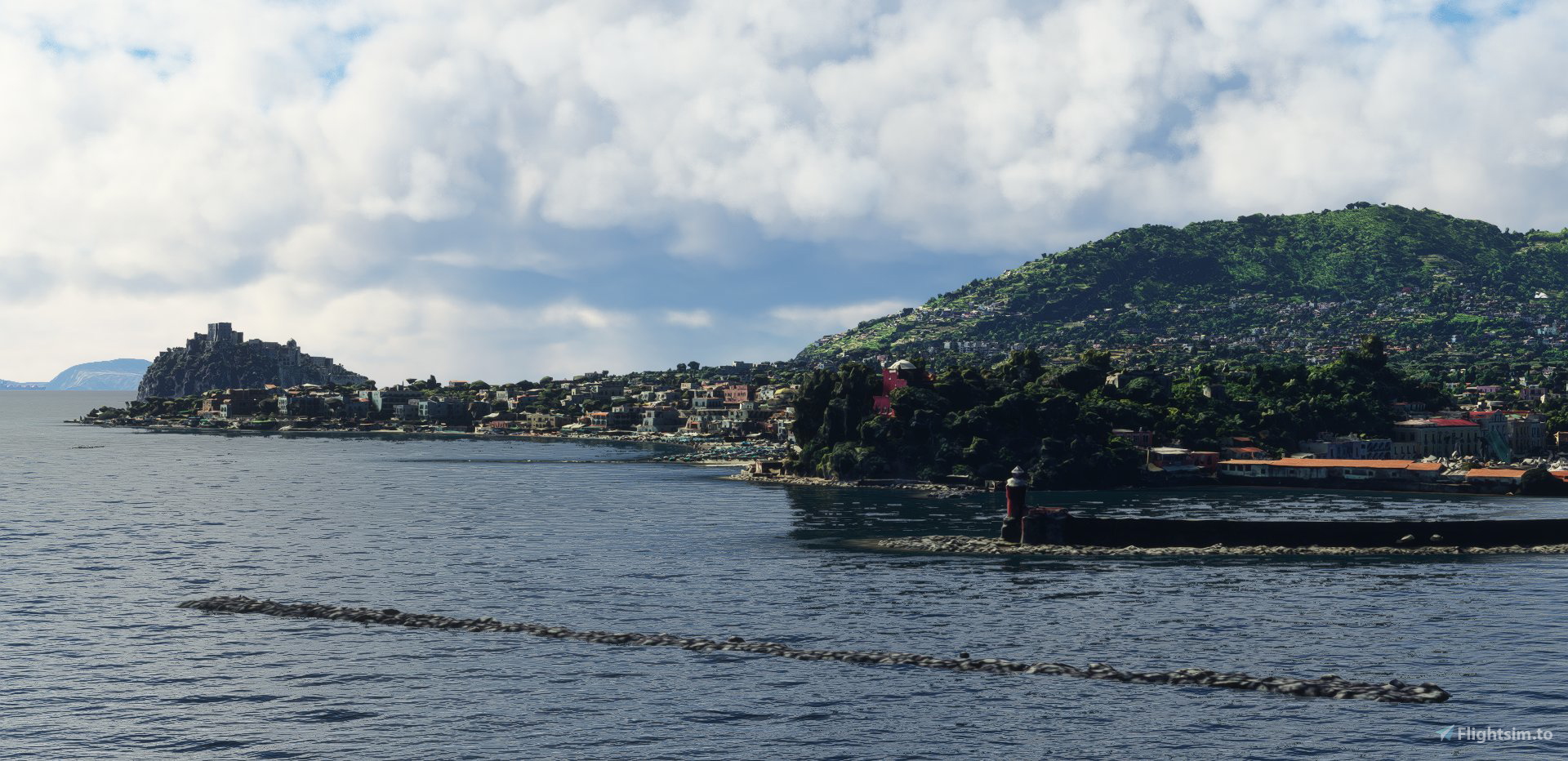
Isola d'Ischia, Italy (38 cm/textel). Landmarks of Isola d'Ischia are in HD (19 cm/textel).
When 2 parts are downloaded , simply extract into community folder.
Zip file including :
adrianl-ischia-part-a (Main file): photogrammetry & terraforming data + lights.
adrianl-ischia-part-b : photogrammetry data. !! To downlaod this part, you have to click on the text "Download main file" that appear in the pop-up window when you want download. This allow you to change the file you want in a drop-down menu and select adrianl-ischia-part-b. !!
Addon size : 7.34 Go
Credits :
-Thanks to Thalixte for the GETOD tools.
-Thanks to Elie Michel for sharing Lily texture Packer.
-Thanks to Jonahex111 for graciously sharing Earth2MsfsWPF and Thalixte to keep it up to date.
-Thanks to all other software and add-on creators who shared their tools to archieve this work.
Check my website > https://adrianltry.wixsite.com/adrianlscenery
Donation > https://paypal.me/adrianltry
Notes :
For more questions, see the FAQ section in About & Built Method on my website.
Disclaimer : Despite all the efforts to optimized performances, this addon require a minimal configuration (mine is Intel Core i7-9750H CPU @ 2.60GHz; GeForce GTX 1660 Ti, 32 Go RAM = 42 +/- 5 FPS). For lower configuration, this addon can cause a critical deacrease of FPS or game crash.
Frequently Asked Questions
Location
Isola d'Ischia, Italy
Explore the stunning Isola dIschia in Italy with this detailed add-on featuring high-definition landmarks and photogrammetry data. Download the two parts and extract them into your community folder for a comprehensive experience. Created with special thanks to various tools and contributors, this addon offers a realistic portrayal of Isola dIschia for Microsoft Flight Simulator.

User Reviews
6 reviews
Version History
No version history available.
Related
Swiss mountains tree fix (trees on mountains removed)
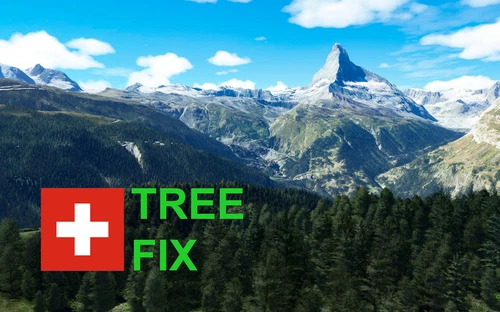
A comprehensive mod fixing tree placement on Swiss mountains, particularly removing inaccurately placed trees on mountain peaks. The update includes a shift to more realistic conifer trees in the Alps and an expansion to border areas of France, Italy, and Austria. From Alpstein Säntis to Stockhorn, numerous locations across Switzerland have been meticulously corrected for a more authentic flight experience.
by THEOLI4D
Shorter Trees / Tree Height Modification VERSION 4.0 for MFS2020 (shorter, realistic trees)
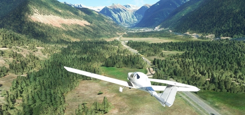
Experience realistic and shorter trees in Microsoft Flight Simulator with the Shorter Trees / Tree Height Modification VERSION 4.0 add-on. Compatible with the latest version of MSFS, this mod provides adjusted tree heights for a more authentic flying experience. Update includes enhanced tree coloration blending seamlessly with photogrammetry trees. Installation is simple - just copy the folder into your community folder and enjoy a new perspective from the skies.
by ARIF STUDIOS - Adnan Arif
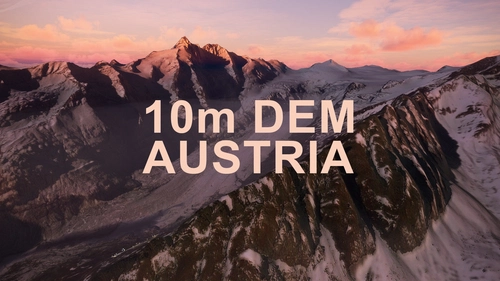
AUSTRIA 10m DEM - High Resolution Terrain Elevation Data from LIDAR Imaging
Explore the stunning terrain of Austria with this mod featuring high-resolution LIDAR data, offering a mesh resolution of 10m for a more realistic flight experience. Flatten lakes, rivers, and eliminate any terrain artifacts as you soar over the Austrian landscape. Divided into regions for convenience and performance optimization, this mod enhances the mountain shapes to mirror reality and provides a smoother flying experience. Experience Austria like never before with enhanced elevation data and realistic terrains.
by Troglodytus
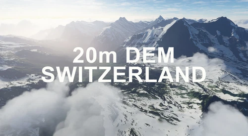
SWITZERLAND 20m DEM - High Resolution Terrain Elevation Data from LIDAR Imaging
Explore the beauty of Switzerland with this mod offering high resolution terrain elevation data using LIDAR imaging. The mesh resolution is 20m, providing exceptional detail with a height resolution of 0.1m. Update includes extreme LIDAR meshes for specific regions. Please note potential performance impacts and report any bugs for further improvements. Fly VFR over Switzerland with enhanced realism and accuracy.
by Troglodytus
Log in to join the discussion
Log InComments(16)
about 2 years ago
about 2 years ago
about 3 years ago
about 3 years ago
You will find it by clicking "Download now" -> "Download main file". A drop-down menu will appear and select the blank area. Start the download and it's done.
It was a little clearer before the website update. --"
about 3 years ago
Thank You very much !
over 4 years ago
Adrian, this is the second great work. Thank you!!!
I made a revisiting of the gulf of naples presenting your work there: https://www.fotomesh.de/Alben/MSFS_Neapel_II/
The only thing what isn't so nice in comparation with Capri are the colors. It seem the photogrammetrie is made in spring, all is a little too green and fresh, but you cannot do nothing in this case...
over 4 years ago
Excellent work, but I agree, too green.
over 4 years ago
Nice work, but unfortunately Ischia appears to be flat, when approaching from afar, for exemple when taking off from Naples. It's a real immersion breaker. You should ask to Kramnik, who made Capri. He faced to the same issue and solved in a brilliant way
over 4 years ago
Top
Merci beaucoup
over 4 years ago
Thank you!
over 4 years ago
I did a first flight and I liked the part A. FPS at a good level. Thank you.
over 4 years ago
Hai fatto un capolavoro. Complimenti!!!
A quando Capodichino LIRN?
over 4 years ago
Thanks docpilot!
It's not planned and I have tons of other scenes to process first :/
over 4 years ago
It's beautiful, I love it. Thanks a lot
over 4 years ago
thanks for good job, Please Isola di Ponza
over 4 years ago
Thx !
Isola di Ponza is not available in photogrammetry :/