
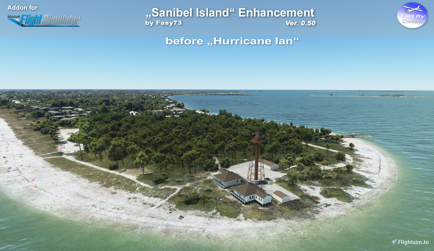
Description
Location: Florida, United States
Content
Version 0.50
add 1. package "fasyfly-poi-sanibel-island-fl-before-ian"
add 2. package "fasyfly-poi-sanibel-island-fl-after-ian"
modify Lighthouse Model and Light effects
All Models are handmade.
Note of thanks
Many thanks for the support to SCNFRQ who brought this project to life.
Installation
Unzip file, Drag & drop one of the folder in your Community folder.
Updates
If you like my work and would like to support my coffee drinking habits during modelling and texturing, consider supporting me.
Copyright / Disclaimer
The author of this package are not liable for any damage caused by the use of this package.This package is free to use. It is however forbidden to distribute and / or use it (in its entirety or its parts) for commercial purposes without an agreement of the author. Furthermore, it is not allowed to alter or use the objects in other sceneries without an agreement of the author of the original objects.
Location
Sanibel Island,Fl - "Before & After IAN"
Enhance your flight over Sanibel Island, Florida with this add-on showcasing the area "Before & After IAN." Version 0.50 includes handmade models and modified lighthouse effects. Explore the locations transformation and show support to the creator, SCNFRQ, for their dedication to this project. Installation is easy with a simple drag-and-drop into your Community folder for immediate use.


User Reviews
3 reviews
Version History
Version 0.50: add second package "fasyfly-poi-sanibel-island-fl-before-ian" add second package "fasyfly-poi-sanibel-island-fl-after-ian" modify Lighthouse Model add new Light effects modify intern structure for more
Featured in Collections(1)


Related
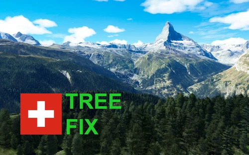
Swiss mountains tree fix (trees on mountains removed)
A comprehensive mod fixing tree placement on Swiss mountains, particularly removing inaccurately placed trees on mountain peaks. The update includes a shift to more realistic conifer trees in the Alps and an expansion to border areas of France, Italy, and Austria. From Alpstein Säntis to Stockhorn, numerous locations across Switzerland have been meticulously corrected for a more authentic flight experience.
by THEOLI4D
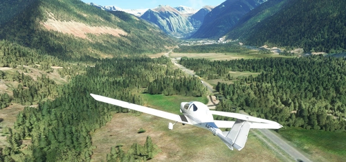
Shorter Trees / Tree Height Modification VERSION 4.0 for MFS2020 (shorter, realistic trees)
Experience realistic and shorter trees in Microsoft Flight Simulator with the Shorter Trees / Tree Height Modification VERSION 4.0 add-on. Compatible with the latest version of MSFS, this mod provides adjusted tree heights for a more authentic flying experience. Update includes enhanced tree coloration blending seamlessly with photogrammetry trees. Installation is simple - just copy the folder into your community folder and enjoy a new perspective from the skies.
by ARIF STUDIOS - Adnan Arif
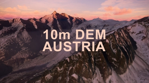
AUSTRIA 10m DEM - High Resolution Terrain Elevation Data from LIDAR Imaging
Explore the stunning terrain of Austria with this mod featuring high-resolution LIDAR data, offering a mesh resolution of 10m for a more realistic flight experience. Flatten lakes, rivers, and eliminate any terrain artifacts as you soar over the Austrian landscape. Divided into regions for convenience and performance optimization, this mod enhances the mountain shapes to mirror reality and provides a smoother flying experience. Experience Austria like never before with enhanced elevation data and realistic terrains.
by Troglodytus
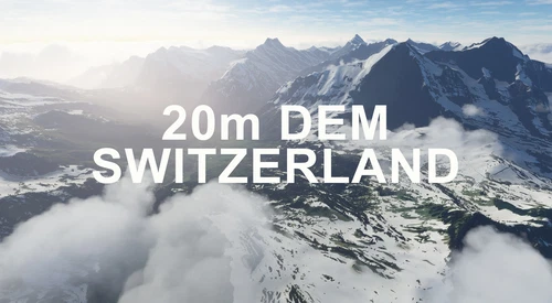
SWITZERLAND 20m DEM - High Resolution Terrain Elevation Data from LIDAR Imaging
Explore the beauty of Switzerland with this mod offering high resolution terrain elevation data using LIDAR imaging. The mesh resolution is 20m, providing exceptional detail with a height resolution of 0.1m. Update includes extreme LIDAR meshes for specific regions. Please note potential performance impacts and report any bugs for further improvements. Fly VFR over Switzerland with enhanced realism and accuracy.
by Troglodytus
Log in to join the discussion
Log InComments(10)
over 3 years ago
thnkyou! my dad lives on sanibel the devastation has been gutwrenching to see but will bounce back :) great work
over 3 years ago
I love the Before & After aspects, Thank-You! God, I LOVE FLORIDA! Been coming to FL since I was 8, that's almost 5 decades!
over 4 years ago
Nice scenery improvement. I lived on Sanibel for a while. Expensive as can be, but I was living at my sister's place. We had a falling out, and I moved away. Won't ever go back to Sanibel; nor will I have any contact with my sister again....
over 4 years ago
Possible for you to expand this even further?
Maybe make the toll bridge, add some parking for seaplanes and flush out the bocks/ramps?
over 4 years ago
Good idea, I'll take a look at how much work and time is required. But it's on the todo list.
over 4 years ago
Excellent scenery of the lighthouse. I made a video to highlight your great workmanship and attention to detail. Sorry, I was not able to edit, the day, to night fade in and out, but wanted to show you the night shot, of the beacon. https://youtu.be/PNr3kWbBHnw
over 4 years ago
Looks like great scenery, but it is called "Sanibel Island", or just Sanibel, Florida, I live near here
over 4 years ago
Thanks, it is changed.
over 4 years ago
Awesome. When I was a kid we went here a few times on vacation. I remember being afraid of the rays that would swim by our feet as we walked on the sandbars.
over 4 years ago
Thank you, I'm glad I've awakened a childhood memory. :-)