Description
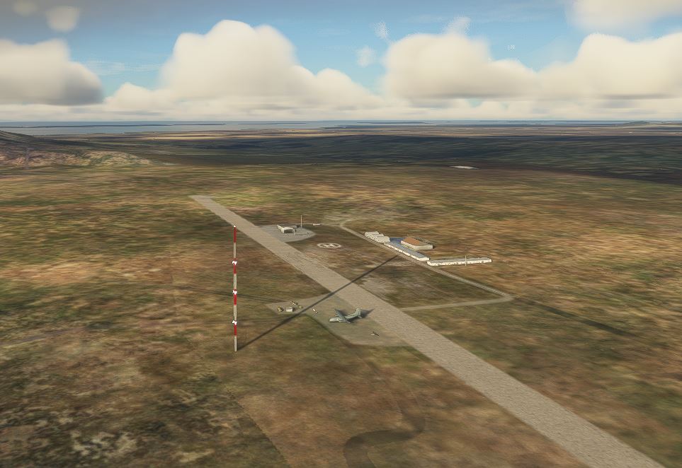
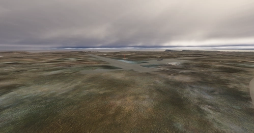
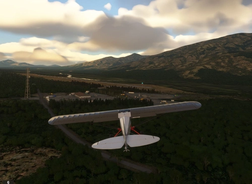
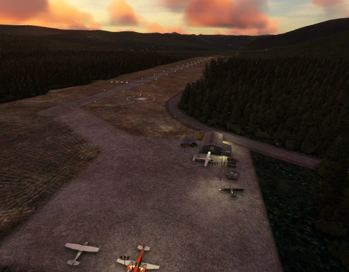
Tin City AFS was a continental defence radar station constructed to provide the United States Air Force early warning of an attack by the Soviet Union on Alaska. It was one of the ten original radar surveillance sites constructed during the early 1950s to establish a permanent air defense system in Alaska. The radar site was connected to the base station by a 7,200' aerial tramway. All large equipment was required to be disassembled then re-assembled at the top camp radar station. The tramway cables were constantly breaking because of high winds and ice, and fog and the extreme cold made repairs hazardous. Ice 16 inches thick built up on the cables in winter. I’ve added back some of the military infrastructure and buildings that were there during the Cold War.
Installation:
Copy the airport folder inside of the Zip file into your MSFS Community folder.
Many thanks to the creators of the Required and Recommended libraries. If you have not previously installed these libraries in your Community folder, some objects may not be visible in your sim. Remember, you only have to install these one time. Also, go to the sim marketplace and download the free UK2000 Scenery Common Library. All Microsoft World Updates should be installed also.
An Easter Egg has been implemented.
Dependencies
Comments(9)
Log in to join the discussion
Log Inover 1 year ago
over 2 years ago
over 2 years ago
over 4 years ago
Thanks Doc,
I was able to work around that problem and get my parking spots operational again. Whoever made that change to the SDK does not work with bush strips and small GA airports which don't require taxiways or a hold short. All is good.
over 4 years ago
youre welcome. Thank you for the fast fix.
over 4 years ago
Hi. Thank you for creating this airfield. I made UHML on the other side of the bering strait, its only 76nm away :)
Could you please check your runway alignment? In my little navmap it looks like the runway numbers are turned by 180 degrees.
over 4 years ago
Thanks for pointing that out.
It's an easy fix but SU7 messed up the SDK. Every airport I built with parking spots can no longer be saved. Hard error "Parking not linked to the main graph".
I'm not editing any airports for fear of corrupting them.
SU8 should fix this.
over 4 years ago
Yes, i know this error but after some fiddling i found that it can be solved in the SU7:
The SDK docs say you can connect the TaxiwayParking with the TaxiwayPoint with two methods:
Select the Taxiway Path Object in the Objects window and click Add.OR
Use the Right Mouse Button and select the Create Path option.But i found that the second method does not work with Parkings, only when you select two TaxiwayPoints.
So to connect your Parkings to a nearby TaxiwayPoint you have to use the first method:
select TaxiwayParking and TaxiwayPoint (with Ctrl and clicking both or box-selecting both with Shift pressed) and then "add" a TaxiwayPath from the Object Browser.After that errors are gone and you can save the scenery again.
Tin City LRRS Airport (PATC)
Tin City AFS was a continental defense radar station constructed to provide the United States Air Force early warning of an attack by the Soviet Union on Alaska. It was one of the ten original radar surveillance sites constructed during the early 1950s to establish a permanent air defense system in Alaska. The station was located at the westernmost tip of the Seward Peninsula.
User Reviews
2 reviews
Location
More Information
Version History
Minor tweaks.
Featured in Collections(1)
Related
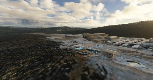
McGrath Airport (PAMC)
McGrath: Population 400 -- McGrath is located in the interior of Alaska. The only way to get here is by airplane, unless you’re crazy enough to drive a snow-machine or mush your dog team on the Historic Iditarod Trail. The airport covers an area of 641 acres at an elevation of 341 feet. It has two runways: 16/34 is 6,000 by 100 feet with an asphalt surface and 5/23 is 2,000 by 60 feet with a gravel surface. It handles an average of 30 flights per day, 80% commercial, and 20% general aviation.
by 55tom55
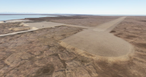
Ruby Airport (PARY)
Ruby - Population 187 -- Gold was discovered here in 1907, but no town was established until 1911 when additional gold deposits were discovered on Long Creek, causing a rush of prospectors to the area. Ruby was home for many of the mushers who carried mail for the Northern Commercial Company from Tanana to Ruby. The trip took four days and paid $5.00 a day. Dog team mail ended here in 1931. The checkpoint is in town, at the community hall.
by 55tom55
Coldfoot Airport (PACX)
Coldfoot got its start as a gold mining town in the early 1900s. It now serves as a highway and pipeline maintenance camp. The airport serves to support the camp and handle tourism into the Brooks Range. As the name implies, Coldfoot can get quite cold. However, the summer months do bring temperatures into the seventies.
by 55tom55
Rampart Airport (PFMP)
Rampart Airport is a state owned, public use airport located one nautical mile east of the central business district of Rampart, in the Yukon-Koyukuk Census Area of the U.S. state of Alaska. Commercial service was subsidized by the Essential Air Service program until October 2016.
by 55tom55
over 1 year ago