
Description
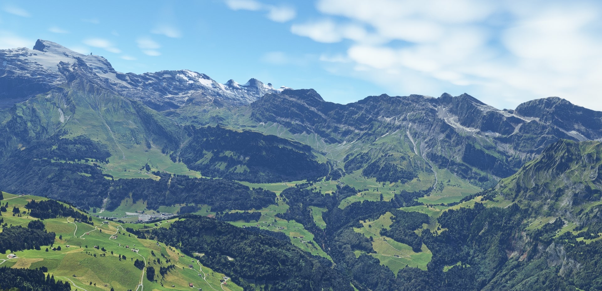
Engelberg, Switzerland (38 cm res.).
Including Melchsee Frutt, Tannensee lake, Engstlensee lake, Titlis mount, Trübsee lake, Graustock mount, Rotsandnollen mount & Huetstock mount.
When all parts are downloaded, simply extract into community folder.
Zip file including :
adrianl-engelberg-part-a : photogrammetry & terraforming data.
adrianl-engelberg-part-b : photogrammetry.
Addon size : 4.37 Go
Credits :
-Thanks to Thalixte for the GETOD tools.
-Thanks to Elie Michel for sharing Lily texture Packer.
-Thanks to Jonahex111 for graciously sharing Earth2MsfsWPF and Thalixte to keep it up to date.
-Thanks to all other software and add-on creators who shared their tools to archieve this work.
Check my website > https://adrianltry.wixsite.com/adrianlscenery
Donation > https://paypal.me/adrianltry
Notes :
For more questions, see the FAQ section in About & Built Method on my website.
Disclaimer : Despite all the efforts to optimized performances, this addon require a minimal configuration (mine is Intel Core i7-9750H CPU @ 2.60GHz; GeForce GTX 1660 Ti, 32 Go RAM = 47 +/- 5 FPS). For lower configuration, this addon can cause a critical deacrease of FPS or game crash.
Location
Engelberg, Switzerland
Explore the picturesque region of Engelberg, Switzerland with this detailed add-on including photogrammetry data of popular landmarks such as Melchsee Frutt, Engstlensee lake, and Titlis mount. Download and extract the files into your community folder to enhance your flight simulation experience. Dont forget to check out the credits and visit the creators website for more information. Note: Ensure your system meets the recommended specifications for optimal performance.

Supporters

User Reviews
4 reviews
Version History
No version history available.
Related
Matterhorn Mountain
Explore the stunning beauty of Matterhorn mountain with this add-on, featuring a fully photogrammetry-based model and terraformed edges for a more realistic experience. Version 2.0 includes new additions such as improved LOD levels, color-corrected textures, cable car pylons, and populated forests. Install by dragging the folder into your "Community" folder and enjoy the enhanced scenery around this iconic peak.
by NikPrist
Rio de Janeiro Megapack Montanhas
Explore the detailed mountainous landscape of Rio de Janeiro in this updated megapack. Precisely positioned mountains like Pedra da Gávea and Pão de Açúcar using Google Maps models. Create your mod via Earth2MSFS for an effective import process. Stay tuned for further updates with optimized textures and added landmarks. Individualize your experience by adding specific mountain ranges to enhance your simulation.
by RodrigoMoraes94
Zion Canyon National Park, Utah
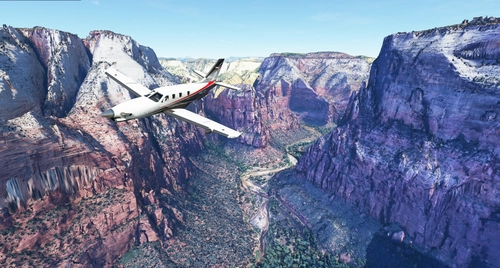
Explore the breathtaking beauty of Zion Canyon National Park in Utah with this V1.0 scenery add-on. Discover well-known locations like the Zion Canyon Overlook, Angels Landing, and more. Experience corrected terrain heights and improved color blending for a more immersive flight simulation. Simply extract the file to your Community Folder and start your aerial adventure in this stunning national park.
by Jeppeson2001
Chamonix-Mont-Blanc, Rhône-Alpes, France - Valley
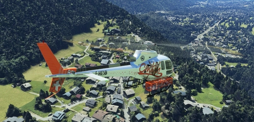
Explore the stunning Chamonix-Mont-Blanc valley in Rhône-Alpes, France with this addon, including a semi-fictional DZ at Argentière. Enhance your experience by combining it with the Mountains addon. Download, extract into community folder, and enjoy photogrammetry and object data. This addon requires a minimum configuration for optimal performance.
by AdrianL
Log in to join the discussion
Log InComments(17)
about 1 year ago
over 1 year ago
almost 3 years ago
Hélas, non, pas de menu déroulant!
Peut être dans la version Premium... En tous cas pas dans la version de base de Flightsim.to. Quand on clique sur le bouton de téléchargement, le système passe directement au fichier "A" (après une pub pour la version "Premium", sans donner le choix..
almost 3 years ago
Partie B
Il n'y a pas de "bouton de téléchargement" sous la description.
almost 3 years ago
La partie B est disponible lors de l'affichage de la fenêtre de téléchargement en cliquant sur le texte "Download main file" (apparition d'un menu déroulant).
Bonne journée.
about 3 years ago
about 3 years ago
You will find it by clicking "Download now" -> "Download main file". A drop-down menu will appear and select the blank area. Start the download and it's done.
It was a little clearer before the website update. --"
over 3 years ago
Absolutely GREAT !!! This is the purest pleasure to fly around here for me, primarily by helicopter - THANK YOU VERY MUCH !!!
over 3 years ago
hi..i downloaded the file but it contains only part-a
over 3 years ago
Hi,
Click on the download button below the description and part b should appear.
The file is "adrianl-engelberg-part-b_LCyn.7z"
over 3 years ago
Would be possible to have a variant with only the terraforming part? Thank you.
over 3 years ago
Hi,
Sorry, but by "terraforming" you should understand "exclusion of native MESH on the area of implementation of the photogrammetric data" and not "enhancement of native MESH". Sorry if this was not clear.
over 3 years ago
Hi thanks for your answer. I know how terraforming works in MFS in general (a little primitive :D ) . I was wondering if there is a method to terraform via a height map that does not need also extra new ground textures. Since most of us use MFS Map Enhancer program that downloads other textures than MFS-Bing I think is a waste of memory and bandwidth and PC resources to add anew huge mesh with new textures on what it already is in game done twice. Hence my question.
over 3 years ago
This are beautiful. I hope you will do more projects of mountains and coastline. Thank you. I prefer your work than mine lol.
over 3 years ago
Thanks Cli4D, yours are not so bad, but simply superb too <3
over 3 years ago
Magnifique! Thanks a lot for sharing!
over 3 years ago
You're welcome :)