
Description
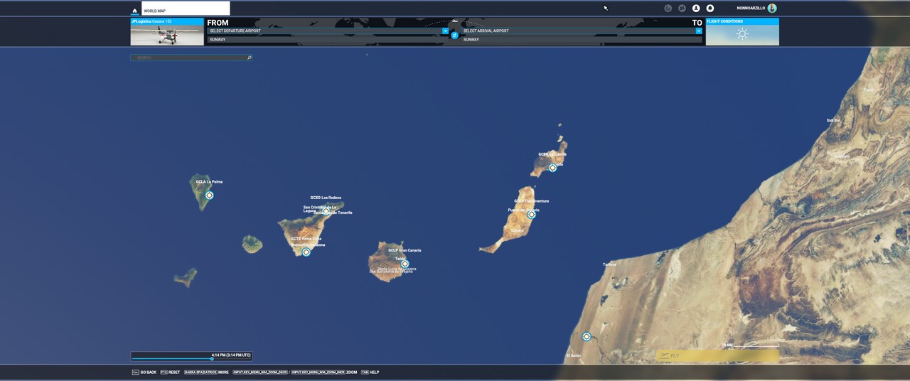
Alternative DEM for Canary Islands - 2 Meter resolution
With this higher terrain resolution, you get superior relief quality, like mountines, hills and sea coast.
Install by extracting to Community folder as usual
Compiled with:
MSFS Toolkit
by Nool Aerosystems
https://msfs.nool.ee/getting-started/overview/
Known issues:
In some circumstances, some "spikes" near the coast could be seen
Credits:
Organismo Autónomo Centro Nacional de Información Geográfica (CNIG) NIF.: ES Q2817024I C/ General Ibáñez de Ibero, 3. 28003 - Madrid - España
Modelos Digitales de Elevaciones
https://centrodedescargas.cnig.es/CentroDescargas/
Creator: Chris
This work is licensed under CC BY-NC-SA 4.0.
To view a copy of this license, visit creativecommons.org/licenses/by-nc-sa/4.0
This license requires that reusers give credit to the creator.It allows reusers to distribute, remix, adapt, and build upon the material in any medium or format, for noncommercial purposes only.
If others modify or adapt the material, they must license the modified material under identical terms.
Location
CanaryDEM
CanaryDEM provides an alternative Digital Elevation Model for the Canary Islands with 2-meter resolution, enhancing terrain details such as mountains, hills, and coastlines. Compiled with MSFS Toolkit by Nool Aerosystems, this add-on offers improved relief quality for your Microsoft Flight Simulator experience. Note that there may be occasional spike issues near the coast. Credits to CNIG for the elevation models used, and the add-on is licensed under CC BY-NC-SA 4.0 by creator Chris.


User Reviews
5 reviews
Version History
No version history available.
Related
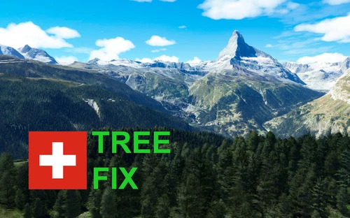
Swiss mountains tree fix (trees on mountains removed)
A comprehensive mod fixing tree placement on Swiss mountains, particularly removing inaccurately placed trees on mountain peaks. The update includes a shift to more realistic conifer trees in the Alps and an expansion to border areas of France, Italy, and Austria. From Alpstein Säntis to Stockhorn, numerous locations across Switzerland have been meticulously corrected for a more authentic flight experience.
by THEOLI4D
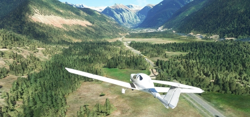
Shorter Trees / Tree Height Modification VERSION 4.0 for MFS2020 (shorter, realistic trees)
Experience realistic and shorter trees in Microsoft Flight Simulator with the Shorter Trees / Tree Height Modification VERSION 4.0 add-on. Compatible with the latest version of MSFS, this mod provides adjusted tree heights for a more authentic flying experience. Update includes enhanced tree coloration blending seamlessly with photogrammetry trees. Installation is simple - just copy the folder into your community folder and enjoy a new perspective from the skies.
by ARIF STUDIOS - Adnan Arif
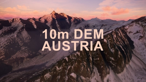
AUSTRIA 10m DEM - High Resolution Terrain Elevation Data from LIDAR Imaging
Explore the stunning terrain of Austria with this mod featuring high-resolution LIDAR data, offering a mesh resolution of 10m for a more realistic flight experience. Flatten lakes, rivers, and eliminate any terrain artifacts as you soar over the Austrian landscape. Divided into regions for convenience and performance optimization, this mod enhances the mountain shapes to mirror reality and provides a smoother flying experience. Experience Austria like never before with enhanced elevation data and realistic terrains.
by Troglodytus
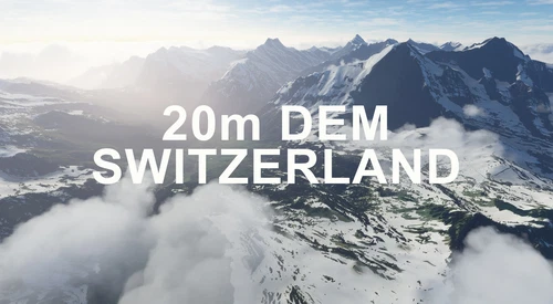
SWITZERLAND 20m DEM - High Resolution Terrain Elevation Data from LIDAR Imaging
Explore the beauty of Switzerland with this mod offering high resolution terrain elevation data using LIDAR imaging. The mesh resolution is 20m, providing exceptional detail with a height resolution of 0.1m. Update includes extreme LIDAR meshes for specific regions. Please note potential performance impacts and report any bugs for further improvements. Fly VFR over Switzerland with enhanced realism and accuracy.
by Troglodytus
Log in to join the discussion
Log InComments(13)
almost 4 years ago
Hi, your Canary Islands mesh and Italian Alps mesh are still working. Is there a possibility that you expand the Alps? Austria, Switzerland, France. I think many people would be very grateful to you. Best regards
over 4 years ago
Unfortunately I get 20 second freezes every 5 to 10 minutes with this DEM. 😞
(NVIDIA RTX 2060 Super)
over 4 years ago
A lot of problems after last sim update.
almost 5 years ago
causes extreme stutter and audio crackle on my high end system :(
over 4 years ago
Still having issues with it? I just tried it on a R5 3600/ 2060Super/32Gb Ram System on Ultra settings and it is smooth as butter here.
almost 5 years ago
Dear sprightly old man this a fabilous work. Thank you so much. And this is compatible to WU 6 and the new version 1.20.6. no flying houses recognizable landscapes, and villages and coastline. Perfact for canyoning with Helicopters f.e. the H 135. So good
almost 5 years ago
Can you also make a 2 or 5 meter elevation model of Madeira?
almost 5 years ago
So far the best and most accurate DEM for the Canary Islands.
almost 5 years ago
Me produce bloqueos de pantalla. Aun bajando la grafica. :(
almost 5 years ago
hello, thank you for your work a question you have to install the 2 files?
almost 5 years ago
yes, you need both to cover all islands
almost 5 years ago
Merci
almost 5 years ago
Hola. Es compatible con otros addons que figuran en esta pagina sobre las islas canarias o hay que eliminarlos?