
Description
- Introduction
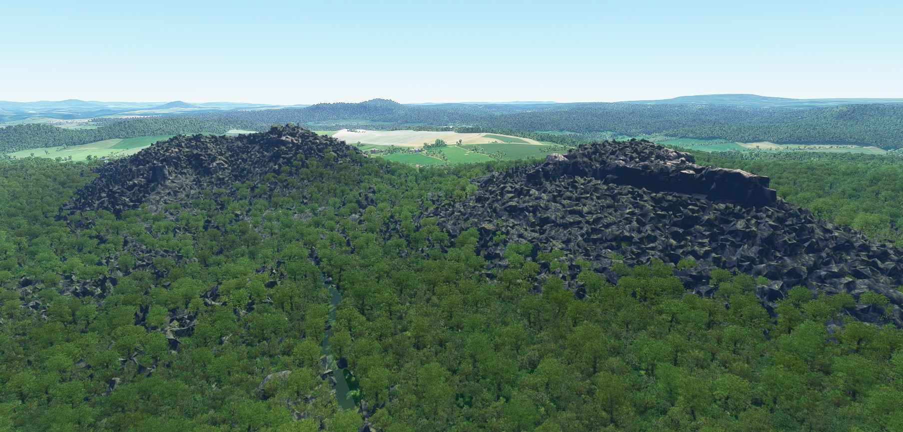
The Elbe Sandstone Mountains, better known as Saxon Switzerland, are probably the most imposing rocky mountains in Germany outside the Alps. Since the original Bing sceneries unfortunately only show green hills instead of steep rocks and the interest in this landscape is high, therefore this add-on.
The scenery is to the left of the river Elbe and includes the table mountains Pfaffenstein, Gohrisch and Papststein.
The sceneries were created from Google Maps using the Google Earth Decoder.
- Content
. Pfaffenstein – LOD 16-19 (GPS: 50.89915247, 14.079228955)
. Gohrisch, Papststein – LOD 17-19 (GPS: 50.901366989, 14.1162801)
- Installation instructions
. Extract the archives in the community folder
- Credits / copyright
This scenery has been extracted from Google Maps, hence all 3D credits goes to Google.
This scenery has been generated with the Google Earth Decoder tool (credits to /u/Jonahex111):
https://www.reddit.com/r/FS2020Creation/comments/j3faaj/google_earth_decoder_now_userfriendly/
Parts of this content includes 3D data and textures copyrighted by « Google Map data ». Google Maps and Map data are provided by © Google, LLC, Mountain View, California, US. This free creation contains content from Google Maps or Google Earth, in accordance with Google Terms of Services and especially point 2.2 of Google Maps/Google Earth Additional Terms of Service. This creation is based on « fair use » or « fair dealing » of the data provided by Google through its services. No commercial use or any gain will be made by the author of this creation or the original host site, who use Google assets as provided for by the simple user licence. The author is freely sharing a creative application of Google Maps or Google Earth. The author will not receive any form of remuneration for sharing this work. Spontaneous general donations from users of file hosting web services under the form of « rewards » or « tips » will be rejected. If this content is found elsewhere and is offered in exchange of money or any other kind of remuneration, it is without the permission of the author and if such theft of intellectual property occurs, this site, and the author will disavow such distribution. Google has stated that it cannot answer to any direct demand about a particular creative use of its properties, as it stated in the « written permission » paragraph of the same document, and all such demands should in the first instance be directed to the author of this work. The author’s verification of compliance with Google’s Terms of Services will rest on this statement of intent, and the use of the provision of the « Fair use » paragraph of the document. As it is economically unreasonable for the casual creator of this content to ask for a costly legal analysis of its creation like proposed in the « Fair use » paragraph of the document, the author of this creation and the owners of this site undertake to destroy any trace of the work on first demand from Google, in accordance with the paragraph « Taking action in case of problems » of the Google Terms of Service about « advance notice » provided « when reasonably possible ».
- On their own behalf
Since I am still a beginner despite many attempts and hours on the PC, constructive criticism, relevant tips and suggestions are welcome.
Location
Saxon Switzerland - Table mountains to the left of the river Elbe
Explore the stunning Elbe Sandstone Mountains with this add-on, featuring the iconic table mountains of Pfaffenstein, Gohrisch, and Papststein to the left of the river Elbe. Created from Google Maps using the Google Earth Decoder, immerse yourself in the beauty of this unique landscape in Germany. Simply extract the files into your community folder and enjoy the detailed scenery in Microsoft Flight Simulator.


User Reviews
2 reviews
Version History
The scenery was adapted to the latest MSFS version 1.37.18.0 and expanded to include the village of Weissig below the Rauenstein.
Related
Swiss mountains tree fix (trees on mountains removed)
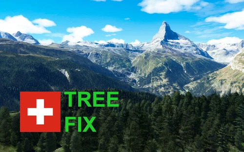
A comprehensive mod fixing tree placement on Swiss mountains, particularly removing inaccurately placed trees on mountain peaks. The update includes a shift to more realistic conifer trees in the Alps and an expansion to border areas of France, Italy, and Austria. From Alpstein Säntis to Stockhorn, numerous locations across Switzerland have been meticulously corrected for a more authentic flight experience.
by THEOLI4D
Shorter Trees / Tree Height Modification VERSION 4.0 for MFS2020 (shorter, realistic trees)
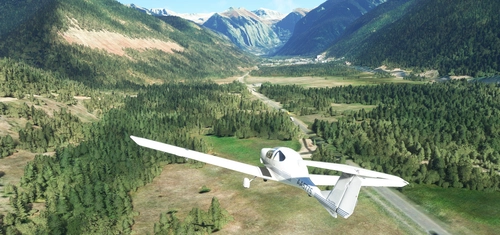
Experience realistic and shorter trees in Microsoft Flight Simulator with the Shorter Trees / Tree Height Modification VERSION 4.0 add-on. Compatible with the latest version of MSFS, this mod provides adjusted tree heights for a more authentic flying experience. Update includes enhanced tree coloration blending seamlessly with photogrammetry trees. Installation is simple - just copy the folder into your community folder and enjoy a new perspective from the skies.
by ARIF STUDIOS - Adnan Arif
AUSTRIA 10m DEM - High Resolution Terrain Elevation Data from LIDAR Imaging
Explore the stunning terrain of Austria with this mod featuring high-resolution LIDAR data, offering a mesh resolution of 10m for a more realistic flight experience. Flatten lakes, rivers, and eliminate any terrain artifacts as you soar over the Austrian landscape. Divided into regions for convenience and performance optimization, this mod enhances the mountain shapes to mirror reality and provides a smoother flying experience. Experience Austria like never before with enhanced elevation data and realistic terrains.
by Troglodytus
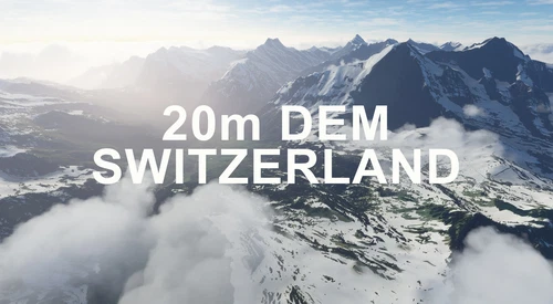
SWITZERLAND 20m DEM - High Resolution Terrain Elevation Data from LIDAR Imaging
Explore the beauty of Switzerland with this mod offering high resolution terrain elevation data using LIDAR imaging. The mesh resolution is 20m, providing exceptional detail with a height resolution of 0.1m. Update includes extreme LIDAR meshes for specific regions. Please note potential performance impacts and report any bugs for further improvements. Fly VFR over Switzerland with enhanced realism and accuracy.
by Troglodytus
Log in to join the discussion
Log InComments(4)
about 5 years ago
I don't really know what to install, so, what is old and what is new?
There are 3 files to download, the "Main File" which is "ESG_Gohrisch_Papststein_Gk_Su_jP.zip". Then there is "ESG_Pfaffenstein_Gk_bMeqU.zip" where flightsim.to says version 1.0, then there is "ESG_Gebiet_der_Steine-V2_Gk_ks2zS.zip" which says version 1.0 on flightsim.to, but has V2 in the file name. Do I have to install all 3?
It seems it's not so easy with mulitple files on flightsim.to, so I would really appreciate better instructions for installing, thanks!
about 5 years ago
thx
about 5 years ago
Good job!!! Many Thanks...
about 5 years ago
I really like how you have done these related sceneries as separate files with clear descriptions of how they fit in. Often we get massive files that include some outlying objects we are not interested in. With yours we can choose to include just what we want.