
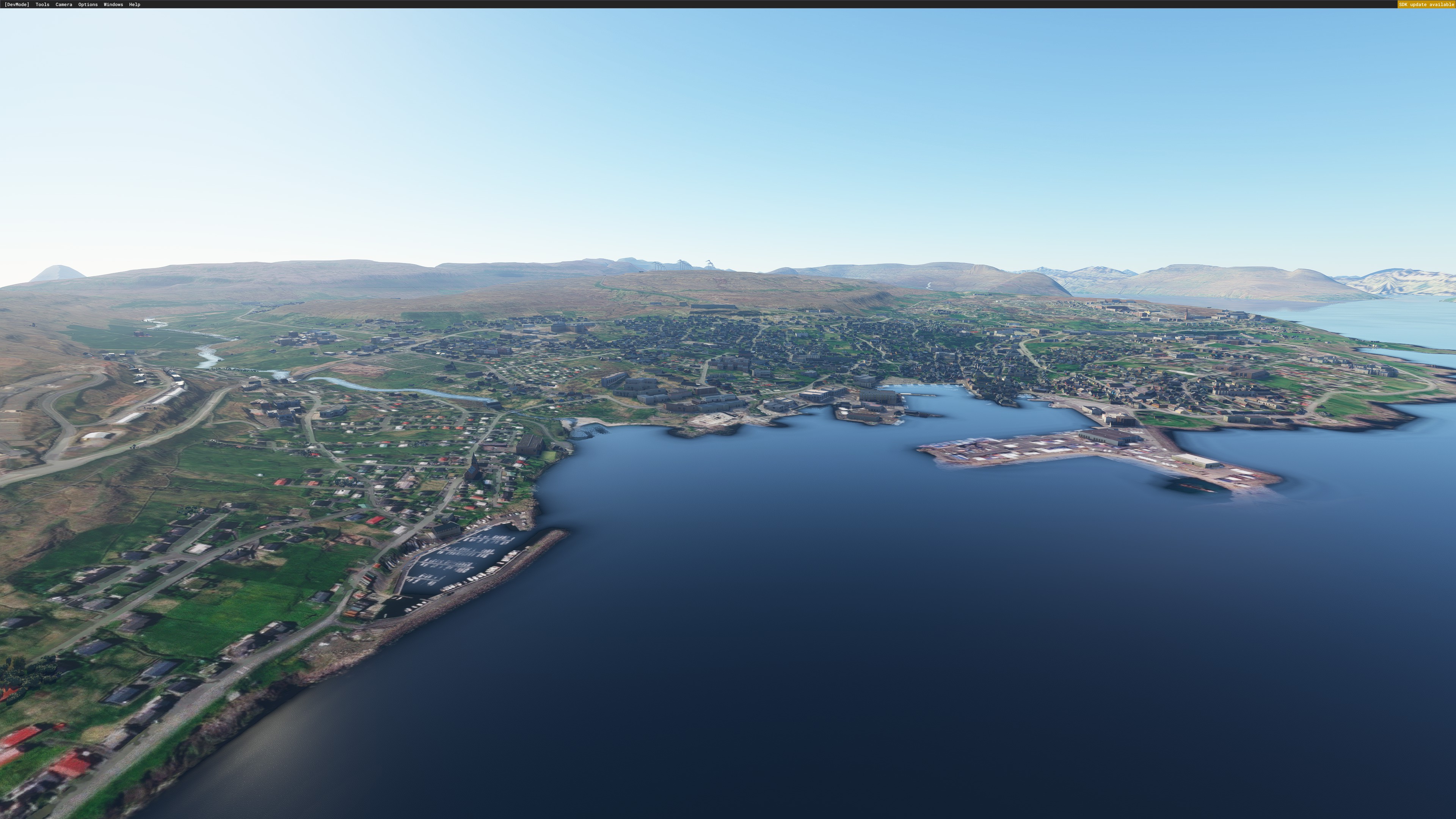
Description
10m DEM for Faroe Island - Source ; https://www.foroyakort.fo/tak-datur-nidur/onnur-rastukort/
Converted using MSFS-Tools
Please note, This mod as any others, might conflght with other mods created by other people.
Location
Iskort.is - Faroe Island - 10m DEM
Explore the stunning Faroe Islands in Microsoft Flight Simulator with this 10m DEM add-on sourced from Iskort.is. Converted using MSFS-Tools, this scenery update provides enhanced topographical details for a more immersive flying experience. Please be aware that compatibility issues may arise when using this mod alongside others.


User Reviews
3 reviews
Version History
No version history available.
Related
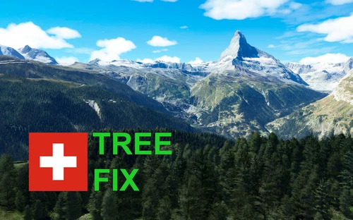
Swiss mountains tree fix (trees on mountains removed)
A comprehensive mod fixing tree placement on Swiss mountains, particularly removing inaccurately placed trees on mountain peaks. The update includes a shift to more realistic conifer trees in the Alps and an expansion to border areas of France, Italy, and Austria. From Alpstein Säntis to Stockhorn, numerous locations across Switzerland have been meticulously corrected for a more authentic flight experience.
by THEOLI4D
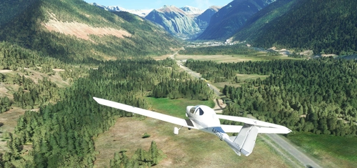
Shorter Trees / Tree Height Modification VERSION 4.0 for MFS2020 (shorter, realistic trees)
Experience realistic and shorter trees in Microsoft Flight Simulator with the Shorter Trees / Tree Height Modification VERSION 4.0 add-on. Compatible with the latest version of MSFS, this mod provides adjusted tree heights for a more authentic flying experience. Update includes enhanced tree coloration blending seamlessly with photogrammetry trees. Installation is simple - just copy the folder into your community folder and enjoy a new perspective from the skies.
by ARIF STUDIOS - Adnan Arif
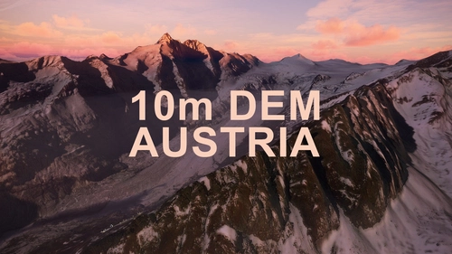
AUSTRIA 10m DEM - High Resolution Terrain Elevation Data from LIDAR Imaging
Explore the stunning terrain of Austria with this mod featuring high-resolution LIDAR data, offering a mesh resolution of 10m for a more realistic flight experience. Flatten lakes, rivers, and eliminate any terrain artifacts as you soar over the Austrian landscape. Divided into regions for convenience and performance optimization, this mod enhances the mountain shapes to mirror reality and provides a smoother flying experience. Experience Austria like never before with enhanced elevation data and realistic terrains.
by Troglodytus
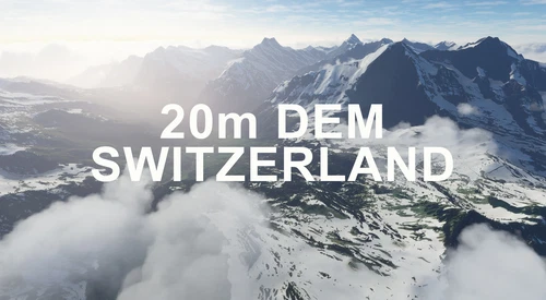
SWITZERLAND 20m DEM - High Resolution Terrain Elevation Data from LIDAR Imaging
Explore the beauty of Switzerland with this mod offering high resolution terrain elevation data using LIDAR imaging. The mesh resolution is 20m, providing exceptional detail with a height resolution of 0.1m. Update includes extreme LIDAR meshes for specific regions. Please note potential performance impacts and report any bugs for further improvements. Fly VFR over Switzerland with enhanced realism and accuracy.
by Troglodytus
Log in to join the discussion
Log InComments(9)
over 4 years ago
Is this dead?
over 5 years ago
please inform me once this works with the superspud airport. Can't enjoy Faroe without an airport :)
over 5 years ago
Very good job, thank you, however there is a conflict with Vagar aiport from Superspud, is it possible to make an exclude or make a flatten on this area to make this airports great again
over 5 years ago
Hi. Thank you for providing us with this 10m DEM but unfortunately I have to agree that there is a conflict with the airport addon and the DEM. There are some serious distorsions.
over 5 years ago
Unfortunately this scenery conflicts with Vagar Apt version 1.9 by superspud! (The mesh is wrong)
over 5 years ago
Many thanks!
over 5 years ago
over 5 years ago
Amazing! Thank you!
over 5 years ago
merci beaucoup