
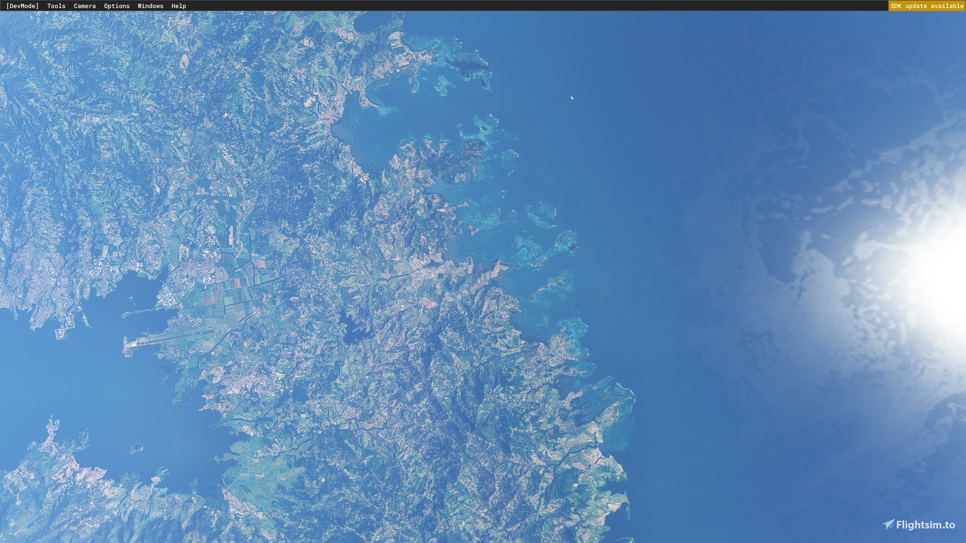
Description
Drag & drop in Community Folder & enjoy !
Hello everyone !
After almost 10 hours of work, headaches & multiple coffees, I'm proud to give you in a beta version, a watermask made to enhance your overall experience when flying both IFR/VFR around Martinique/TFFF. My goal with this addon is to provide a high quality watermask around the beautiful island of Martinique, in the Caribbean Sea, in order to make the sea enjoyable, and more true-to-life ! This is the fourth addon I'm making for MSFS, and I already know there is some areas that have to be improved, and I will. I'm sharing this project because you can already enjoy it when you're up-there in the skies, you will only notice those smalls glitches when going up close ! So, if you have any criticizm, comments or anything to share in order to help me, do it, I'll love to improve myself :)
My other watermasks :
- https://flightsim.to/file/37455/wip-palermo-watermask-italy
- https://flightsim.to/file/37290/bta-corfu-watermasks-will-be-updated-enhanced
- https://flightsim.to/file/37691/ibiza-spain-4k-watermasks
Due to the lack of documentation by Asobo, the process of making watermasks is very very very time consumming, if you want to do it well, so I apologize if updates can't be day-to-day, but I'll do my best, and may create a discord server to let y'all know what's I'm busy in !
This product will be updated as much as needed, and I'll try to support everybody having possible issues on the comment (as much as I can though !).
Need help ? : https://discord.gg/W2AwkXYEjp
Roadmap :
- Enhance the shape of the watermask, to make it more true-to-life
- Improve the global coverage of this watermask, to cover all approach paths (rnav, vor...), first, and the island as the whole after.
Many thanks to those people, without them, It wouldn't have been possible :
- @superspud, and his lovely documentations about the SDK, Project editor, Blender...
- FredericoPonti on youtube, for his truly usefull tutorials
- OldGamesItalia on youtube, for his tutorials about basic scenery creations
By the way, If you would like some watermasks near your favorite places, do not hesitate to request them, I'll try to have a look at them asap (only if Bing/MSFS provide great imagery).
If needed, I can help you in English//French, so... have a good day, and see you in the sky !
Frequently Asked Questions
Location
Martinique, France/Caribbean Sea, 4k watermask s
True-to-life watermask near TFFF, Martinique, Caribbean Sea. Cover the East of the Island. Will be updated. Areas have to improved, and will be ;) Enhance the global look of the sea when approaching TFFF in your beautiful pmdg737/fenix a320/a339/787. Have fun & see you in the skies !


User Reviews
3 reviews
Version History
Compatible with latest Sim Updates
Related
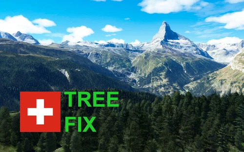
Swiss mountains tree fix (trees on mountains removed)
A comprehensive mod fixing tree placement on Swiss mountains, particularly removing inaccurately placed trees on mountain peaks. The update includes a shift to more realistic conifer trees in the Alps and an expansion to border areas of France, Italy, and Austria. From Alpstein Säntis to Stockhorn, numerous locations across Switzerland have been meticulously corrected for a more authentic flight experience.
by THEOLI4D
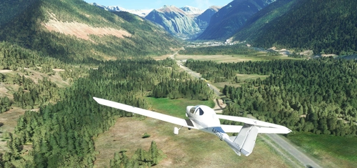
Shorter Trees / Tree Height Modification VERSION 4.0 for MFS2020 (shorter, realistic trees)
Experience realistic and shorter trees in Microsoft Flight Simulator with the Shorter Trees / Tree Height Modification VERSION 4.0 add-on. Compatible with the latest version of MSFS, this mod provides adjusted tree heights for a more authentic flying experience. Update includes enhanced tree coloration blending seamlessly with photogrammetry trees. Installation is simple - just copy the folder into your community folder and enjoy a new perspective from the skies.
by ARIF STUDIOS - Adnan Arif
AUSTRIA 10m DEM - High Resolution Terrain Elevation Data from LIDAR Imaging
Explore the stunning terrain of Austria with this mod featuring high-resolution LIDAR data, offering a mesh resolution of 10m for a more realistic flight experience. Flatten lakes, rivers, and eliminate any terrain artifacts as you soar over the Austrian landscape. Divided into regions for convenience and performance optimization, this mod enhances the mountain shapes to mirror reality and provides a smoother flying experience. Experience Austria like never before with enhanced elevation data and realistic terrains.
by Troglodytus
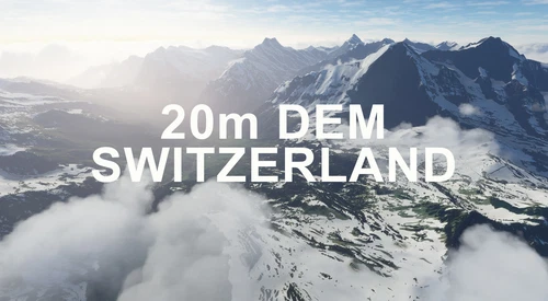
SWITZERLAND 20m DEM - High Resolution Terrain Elevation Data from LIDAR Imaging
Explore the beauty of Switzerland with this mod offering high resolution terrain elevation data using LIDAR imaging. The mesh resolution is 20m, providing exceptional detail with a height resolution of 0.1m. Update includes extreme LIDAR meshes for specific regions. Please note potential performance impacts and report any bugs for further improvements. Fly VFR over Switzerland with enhanced realism and accuracy.
by Troglodytus
Log in to join the discussion
Log InComments(12)
almost 2 years ago
https://flightsim.to/file/4808/martinique
almost 2 years ago
over 2 years ago
Si l'envie de redonner un aspect plus réel aux côtes françaises t'inspire, je suis preneur (idem pour la Corse ^^)
over 2 years ago
over 2 years ago
merci de m'avoir répondu!
almost 4 years ago
Merci beaucoup c'est superbe. Je sollicite la même chose au moins pour un gros oubli d'ASobo dans ses watermasks existants : la piste de FAAA à Tahiti ( NTAA) ils ont oubliés le lagon à cet endroit là, du port de Papeete jusqu'au récif de Punaauia alors que le reste de l'île est traité... C'est environ 15 km de littoral pas plus.
Bien entendu les atolls des Tuamotu comme Rangiroa Fakarava et tant d'autres comme Huahine Raiatea Mau Piti . Dans les atolls n'y a que Tetiaroa qui est traité et c'est tellement superbe avec le mod de l'aéroport et de l’hôtel..
Merci d'avance
almost 4 years ago
Je vais y jeter un coup d'oeil ! Merci pour le soutien ! :)
almost 4 years ago
Alors c'est vraiment cool, un grand merci a toi, en plus c'est la partie la plus compliquée de l'ile avec bon nombre d'ilets de haut fond et de recif par ci par la, la cote est vraiment découpée et doit je suppos être vraiment difficile a travailler. En tout cas je viens d'effectuer un survol et le résultat est très beau
almost 4 years ago
Merci beaucoup pour ton commentaire ! J'espère encore pouvoir l'améliorer dans les semaines a venir; je suis deja entrain de préparer une mise-à-jour pour couvrir la partie sud/est et sud/ouest de l'île ! Il me tarde de vous donner tout ça :)
almost 4 years ago
Thank You
j'adore votre travail
BRAVO
almost 4 years ago
Thank you so much for this beautiful work around my Island ! Do you plan other Caribbean watermasks ?!
almost 4 years ago
Thanks for your support ! I may try something around Guadeloupe, La Reunion, but for now I'm focused on NewZealand ! :)