
Description
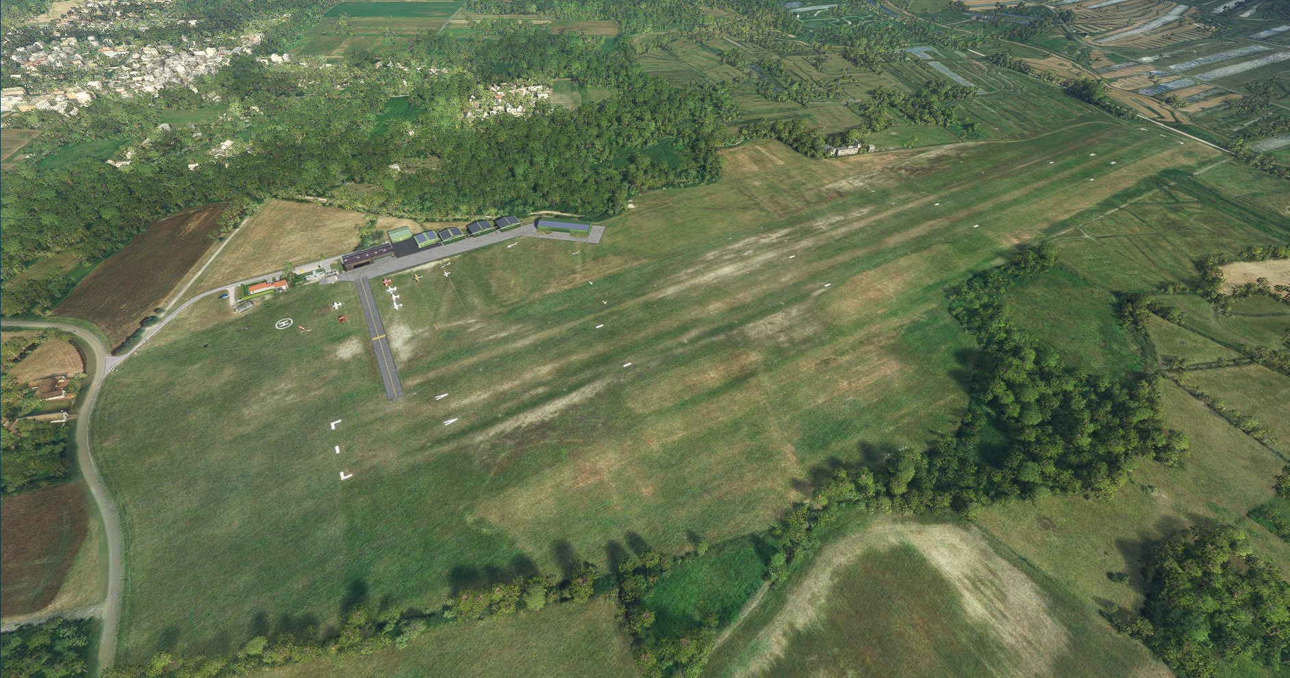
The Saint-Pierre-d´Oléron aerodrome is located on the island of Oléron in Charente Maritime. it has two runways of 1,011m X 50m and 495mX25m, contiguous to the first and reserved for microlights. It is equipped with an AVGAS 100LL refueling station and most of the hangars have solar panels.
All the buildings making up the platform have been modeled. Updates will follow.
Important!!! If you want to have HD aerial photo you need to download France-MaxGG60-Scenery-Photoreal-SAI331 avaiable here https://fr.flightsim.to/file/80480/france-maxgg60-scenery-photoreal-sai331
Good flight!!!
L’aérodrome de Saint-Pierre-d’Oléron se situe qur l'ile d'oléron en Charente Maritime. il est doté de deux pistes de 1 011m X 50m et de 495mX25m, accolée à la première et réservée aux ULM. Il est équipé d'un station d'avitaillement en AVGAS 100LL et la plupart des hangars possèdent des panneaux solaires.
L'enssemble des bâtiments composant la plateforme ont été modélisés. Des mises à jours suivront.
Bon vol!!!
Dependencies
Location
LFDP Saint-Pierre d'Oléron
Explore the Saint-Pierre-dOléron aerodrome on the beautiful Oléron Island in Charente Maritime. This add-on features two runways, fueling station, and detailed modeling of all airport buildings. Perfect for a scenic flight or practicing your take-offs and landings.


User Reviews
11 reviews
Version History
- Remove Aerial photo to maximise compatibility with my new scenery France-MaxGG60-Scenery-Photoreal-SAI331 - Some minor ajustement
Related
LSGL Lausanne La blécherette
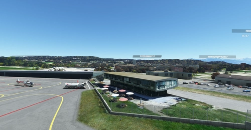
Enhance your virtual aviation experience with the LSGL Lausanne La Blécherette add-on. This scenery revamps the Lausanne LSGL aerodrome in Switzerland, featuring photorealistic representations of key buildings such as the restaurant, operations office, and rescue base. Explore this detailed recreation, including official altitude data for the track and additional landmarks like the Tuillerie stadium extracted from Google Maps. Get ready to take off and enjoy your flight over this newly improved airfield!
by MaxGG60
LSGP La Côte
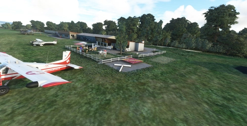
Explore the picturesque LSGP La Côte aerodrome nestled in Prangins, Switzerland, boasting a charming grass runway, 100LL station, and artistically adorned hangars. Embark on your flights in this tranquil setting between Geneva and Lausanne, with ongoing updates to enhance your virtual aviation experience.
by MaxGG60
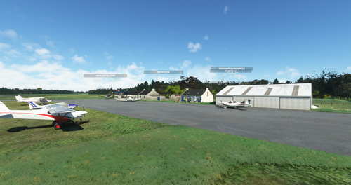
LFEA Belle-Ile en Mer
Explore the picturesque island of Belle-Ile en Mer with this detailed scenery add-on, featuring key points of interest such as the aerodrome, lighthouses, and the Palace with its citadel. Enjoy an enhanced coastline with removed unsightly trees, and anticipate more POIs to be added in the future. This add-on is compatible with FranceVFR and Orbx seafront vessel library for a seamless flying experience.
by MaxGG60
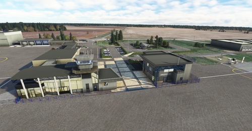
LFOZ-Orléans-Loire-Valley
Experience flying in the picturesque Loire Valley with the LFOZ Orléans Loire Valley aerodrome scenery. This add-on features a detailed recreation of the airport with a 1,600m x 30m bitumen runway and a 1,060m grass runway. Developed from the original FS version by FROGX, this scene offers a playable experience with ongoing improvements and upgrades planned for the future. Bon vol!
by MaxGG60
Log in to join the discussion
Log InComments(48)
over 1 year ago
Voici la photo du Château d’Eau réel en montée initiale 28. Merci encore pour ton travail.
over 1 year ago
over 1 year ago
https://maps.app.goo.gl/VSqDqPDN4bk16XAk9
over 1 year ago
over 1 year ago
over 1 year ago
une localisation exacte de ce château d'eau serait forte appréciée.
bon vol
over 2 years ago
over 2 years ago
Si vous avez des photos je suis preneur pour de nouvelles mise à jour.
Cordialement
over 2 years ago
over 2 years ago
almost 3 years ago
les vols en Charente Maritime sont bien plus immersifs avec tous ces aérodromes.
almost 3 years ago
almost 3 years ago
je voudrais vous signaler qu'il y a peut être une erreur car lorsque l'on sélectionne LFDP , le simulateur nous dit que c'est une piste en asphalte
Passez de bonnes fêtes de nouvel an
Cordialement
almost 3 years ago
bonnes fêtes!
almost 3 years ago
almost 3 years ago
about 4 years ago
salut, merci pour le travail. fonctionne avec v9
over 4 years ago
Thanks a lot for your work.
Please have a look at the GPS Coordinate. It is NOT
https://www.google.com/maps/place/45.957603,-1.311181
This is 63410 Loubeyrat, France
correct should be:
https://www.google.com/maps/place/45.9592018,-1.31611
over 4 years ago
Hello,
Thanks for your review.
But my coordinates are correct and i verify them in google earth.
They pointed in the center of the runway of LFDP and when you search this scenery in the flightsim.to map you find the scenery in the correct location.
You quote the loubeyrat coordinates : this is 45.935778°, 003.010934°
I don't understand where is the problem.
Good flight!!!