
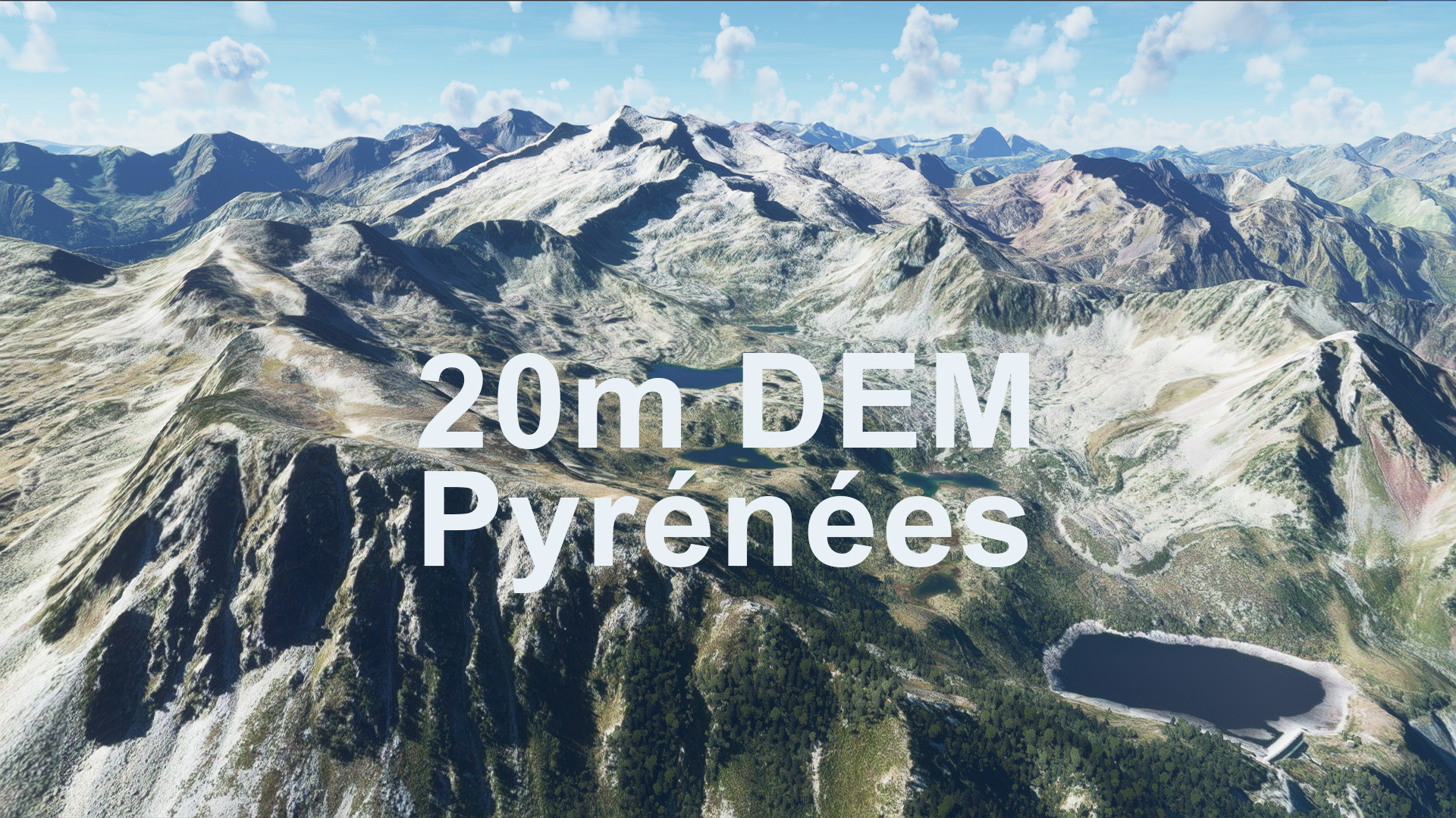
Description
This mod contains customized height profiles for the Pyrenees mountain range. The affected area contains Spanish and Andorran territory. The French part has been removed from the package due to the generic mesh being as good or better than the mod.
The mod contains high definition LIDAR DEM data with a mesh resolution of 20m. The height resolution is as good as 0.1m.
The mod does not only provide mountain shapes being very close to reality, but also flattens lakes & rivers and gets rid of any terrain artifacts.
Not sure why flightsim is naming the downloads so strangely, here is the deal:
- Main file: Pyrenees of Spain/Andorra
- Secondary file: Pyrenees of Spain/Andorra/France
Disclaimer: The creator of this mod is not responsible for any problems, damage, incompatibilites to other mods or performance issues that might occur.
Please note, that this mod is a very high resolution mesh covering the whole of Switzerland. The elevation data is applied through terraforming rectangles, thus loaded at a certain distance from the player. When travelling fast or at high alitude (wide range of view) there might be too many new rectangles loaded simultaneously and thus stutters might occur.
If you have any stutters you can try and reduce your ingame render settings or uninstall!
If you are mainly flying airliners in high altitude, there is probably no benefit for you in using this mod.
As it stands none are known!
Please report any bugs with sceneries or airports and I will see what I can do!
Simply unzip the downloaded folders and copy them into your community folder!
CreditsThe elevation data used was a LIDAR 20m height profile of Spain, Andorra compiled by Sonny (https://data.opendataportal.at/dataset/dtm-spain/resource/38816df0-9d50-476f-832e-0f7f5fa21771)
It was then transfered into MSFS using MSFS Toolkit by Nool Aerosystems (https://msfs.nool.ee/)
Thank you both and for anyone reading this: Please go ahead and support them!
Enjoy your VFR flights above the Pyrenees!
Location
PYRENEES 20m DEM - High Resolution Terrain Elevation Data from LIDAR Imaging
Explore the Pyrenees mountain range with this high-resolution terrain elevation data add-on featuring LIDAR imaging technology. With a mesh resolution of 20m and height accuracy up to 0.1m, experience realistic mountain shapes, flattened lakes, and rivers without terrain artifacts. Please note potential performance issues when flying fast or at high altitudes, and simply unzip and copy the downloaded folders into your community folder for installation. Enjoy detailed VFR flights over Spain and Andorra!


Supporters


User Reviews
12 reviews
Version History
Changes v1.2: French Part is back with the alternate download link! * Recompiled with larger falloff distance and better / more accurate projection algorithm Exclusion of airports to avoid problems: * Excluded San Sebastian Airport * Excluded Aérodrome d'Itxassou * Excluded Altisurface d'Aleu * Excluded LESU * Excluded LECD
Related
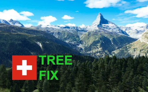
Swiss mountains tree fix (trees on mountains removed)
A comprehensive mod fixing tree placement on Swiss mountains, particularly removing inaccurately placed trees on mountain peaks. The update includes a shift to more realistic conifer trees in the Alps and an expansion to border areas of France, Italy, and Austria. From Alpstein Säntis to Stockhorn, numerous locations across Switzerland have been meticulously corrected for a more authentic flight experience.
by THEOLI4D
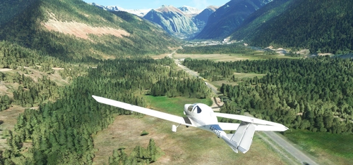
Shorter Trees / Tree Height Modification VERSION 4.0 for MFS2020 (shorter, realistic trees)
Experience realistic and shorter trees in Microsoft Flight Simulator with the Shorter Trees / Tree Height Modification VERSION 4.0 add-on. Compatible with the latest version of MSFS, this mod provides adjusted tree heights for a more authentic flying experience. Update includes enhanced tree coloration blending seamlessly with photogrammetry trees. Installation is simple - just copy the folder into your community folder and enjoy a new perspective from the skies.
by ARIF STUDIOS - Adnan Arif
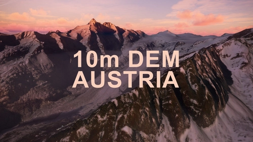
AUSTRIA 10m DEM - High Resolution Terrain Elevation Data from LIDAR Imaging
Explore the stunning terrain of Austria with this mod featuring high-resolution LIDAR data, offering a mesh resolution of 10m for a more realistic flight experience. Flatten lakes, rivers, and eliminate any terrain artifacts as you soar over the Austrian landscape. Divided into regions for convenience and performance optimization, this mod enhances the mountain shapes to mirror reality and provides a smoother flying experience. Experience Austria like never before with enhanced elevation data and realistic terrains.
by Troglodytus
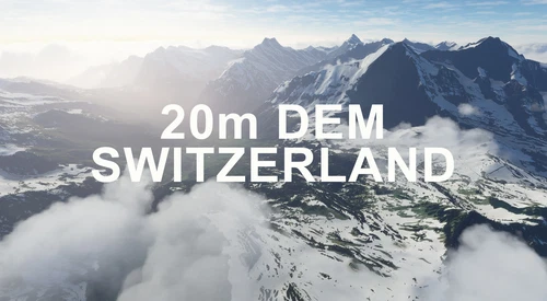
SWITZERLAND 20m DEM - High Resolution Terrain Elevation Data from LIDAR Imaging
Explore the beauty of Switzerland with this mod offering high resolution terrain elevation data using LIDAR imaging. The mesh resolution is 20m, providing exceptional detail with a height resolution of 0.1m. Update includes extreme LIDAR meshes for specific regions. Please note potential performance impacts and report any bugs for further improvements. Fly VFR over Switzerland with enhanced realism and accuracy.
by Troglodytus
Log in to join the discussion
Log InComments(62)
10 months ago
over 5 years ago
amazing!!! thank you!!
over 5 years ago
thank you! Glad you like it!
over 4 years ago
thank you
strange things that the biggest covered part is smaller than the smallest one
1.2 is the main file with spain and andorra this file is bigger than 1.1 (secondary file) with spain+andorra+france ^^
over 5 years ago
Thank you very much for your time and work.
over 5 years ago
Vielen Dank für ihre Arbeit.
Beim Flugplatz LECD (La Cerdanya) gibt es ein Problem. Die Start-/Landebahn ist auf zwei verschiedenen Höhen. Wenn ich ihr Mesh deaktiviere, ist alles o.k.
Können sie das korrigieren?
Freundliche Grüsse
PS. Entschuldigung, habe soeben festgestellt, dass dieses Problem schon vor einiger Zeit durch John_Fields gemeldet wurde.
over 5 years ago
I can confirm that the threshold area of Runway 07 at LECD has a strange step in it when running this mesh. Other than that, it is fantastic.
over 5 years ago
Could you make the Himalayan mountains.
over 5 years ago
Hi! I haven't been in the Pyrenees before, but it looks awesome! Thank you!
over 5 years ago
I am a lost :)
You wrote :
1.1 (main file) contains the spanish/andorran area of the pyrenees.
1.2 (secondary file) contains all parts (french/spanish/andorran)
But Main file is 1.2 now (despite when downloading it is named 1.1 version...)
So there are actually two files available 1.2 (1.1 ?) and 1.0
I think the actual main 1.2 224 Mo file is the "right last version" (i.e. last version without French part ). Is it right ?
By the way many thanks for your amazing work on this area and many other ones
over 5 years ago
Thank you for your comment. I am very sorry about this mess, It's crazy, that flightsim does not let you rename the files and their versions as you please... its actually simple:
Main File: Spain/Andorra
Secondary File: Spain/Andorry/France
..thus the bigger file size on the secondary download, because its the larger region.
Dont let the versions confuse you please.
over 5 years ago
Many thanks for your answer. Now clear for me. Sorry for the inconvenience. Got the same problem with the versions of my f-BMZE livery for the DR250 (ended deleting all the previous to upload the only the last one) so I understand perfectly your problem...
Kind regards and thanks again for your work (just ended downloading Austria 10 m :) )
over 5 years ago
hi, in the 1.1 version LESU still has bumps on the runway and buildings floating. it is confusing which version i have to download and place in the comunity folder to have this aiport correct
over 5 years ago
Can you try to download & install it again? I excluded LESU La Seu d'Urgell, so not sure what is going on!
over 5 years ago
solved i downloaded the wrong version, thanks and sorry for the reply
over 5 years ago
Yeah, no that is my fault. I am sorry for the confusing download titles. Flightsim.to doesn't really let me rename them. Sorry
over 5 years ago
the link v1.2 gives a file named 1.1
over 5 years ago
yeah, its a mess. flightsim does not let me name the downloads as I want to, they still show some old versions and I don't know why.
Basically: Main file: Spain/Andorra
Secondary file: Spain/Andorra/France
I have updated the description as well now.
over 5 years ago
Thanks