
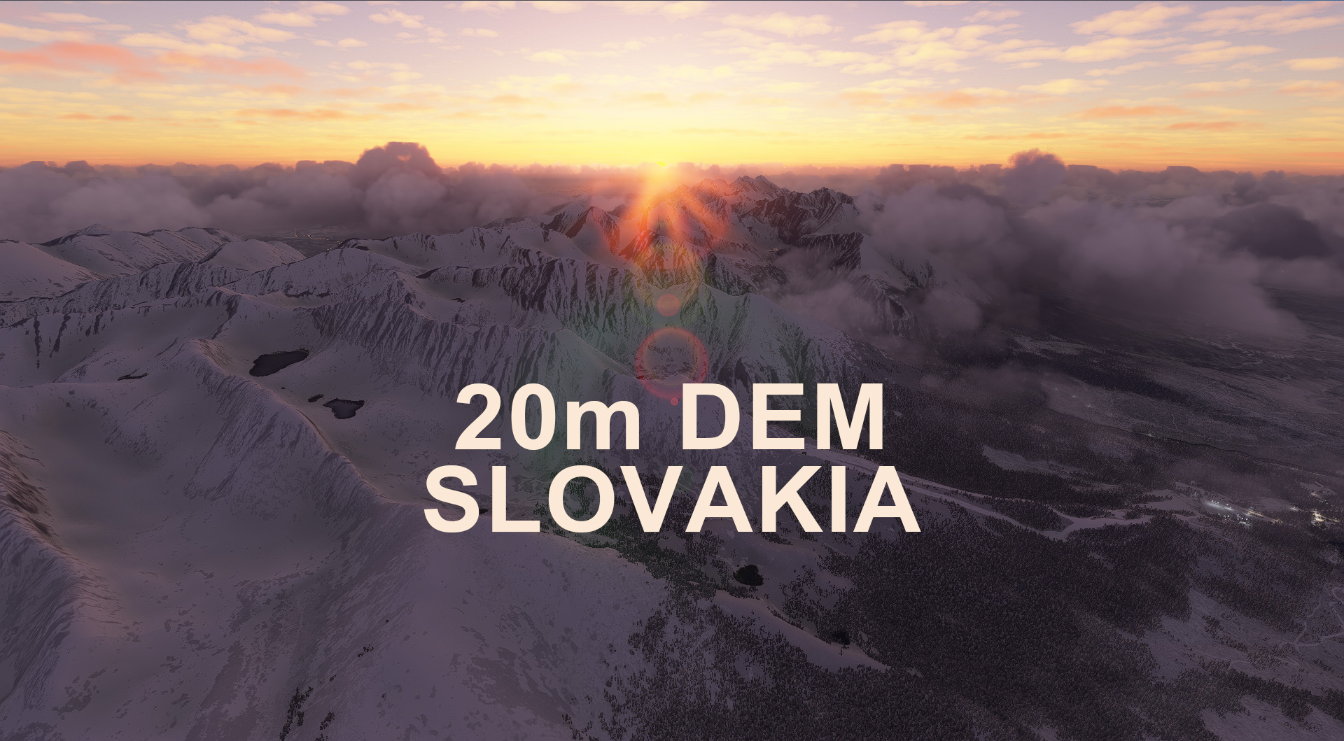
Description
From Bratislava to the Tatry Mountains
This mod contains customized height profiles for Slovakia. The mod contains high definition LIDAR DEM data with a mesh resolution of 20m. The height resolution is as good as 0.1m.
The mod does not only provide mountain shapes being very close to reality, but also flattens lakes & rivers and gets rid of any terrain artifacts.
Disclaimer: The creator of this mod is not responsible for any problems, damage, incompatibilites to other mods or performance issues that might occur.
Please note, that this mod is a very high resolution mesh covering the whole of Slovakia. The elevation data is applied through terraforming rectangles, thus loaded at a certain distance from the player. When travelling fast or at high alitude (wide range of view) there might be too many new rectangles loaded simultaneously and thus stutters might occur.
If you have any stutters you can try and reduce your ingame render settings or uninstall!
If you are mainly flying airliners in high altitude, there is probably no benefit for you in using this mod.
Please report any bugs with sceneries or airports and I will see what I can do!
The elevation data used was a LIDAR 20m height profile of Slovakia compiled by Sonny (http://data.opendataportal.at/dataset/dtm-slovakia/resource/5a303661-fb60-42ca-96dc-9c651f0aafc4)
It was then transfered into MSFS using MSFS Toolkit by Nool Aerosystems (https://msfs.nool.ee/)
Thank you both and for anyone reading this: Please go ahead and support them!
Enjoy your VFR flights above Slovakia!
Location
SLOVAKIA 20m DEM - High Resolution Terrain Elevation Data from LIDAR Imaging
High Resolution Terrain Elevation Data from LIDAR Imaging covering Slovakia. Customized height profiles with 20m mesh resolution and 0.1m accuracy. Enhances mountain shapes, flattens lakes & rivers, and removes terrain artifacts for a realistic flying experience. Caution for potential performance issues with high speed and altitude flights; perfect for VFR enthusiasts exploring Slovak landscapes.


Supporters

User Reviews
9 reviews
Version History
Changes v1.1: * Recompiled with new tool version & larger falloff resulting in a smoother transition to generic mesh (hopefully) Fixes / Resolved 3rd party incompatibilities: * Excluded LZTT Poprad Tatry * Excluded LZKZ Kosice * Excluded LZIB Bratislava International * Excluded LZNI Nitra * Excluded LZTN Trencin * Excluded LZRY Raznany * Excluded LZPT Partizanke * Excluded LZZH Janova Lehota * Excluded LZMA Martin * Excluded LZSV Spisska
Related
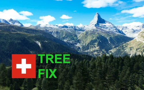
Swiss mountains tree fix (trees on mountains removed)
A comprehensive mod fixing tree placement on Swiss mountains, particularly removing inaccurately placed trees on mountain peaks. The update includes a shift to more realistic conifer trees in the Alps and an expansion to border areas of France, Italy, and Austria. From Alpstein Säntis to Stockhorn, numerous locations across Switzerland have been meticulously corrected for a more authentic flight experience.
by THEOLI4D
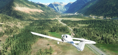
Shorter Trees / Tree Height Modification VERSION 4.0 for MFS2020 (shorter, realistic trees)
Experience realistic and shorter trees in Microsoft Flight Simulator with the Shorter Trees / Tree Height Modification VERSION 4.0 add-on. Compatible with the latest version of MSFS, this mod provides adjusted tree heights for a more authentic flying experience. Update includes enhanced tree coloration blending seamlessly with photogrammetry trees. Installation is simple - just copy the folder into your community folder and enjoy a new perspective from the skies.
by ARIF STUDIOS - Adnan Arif
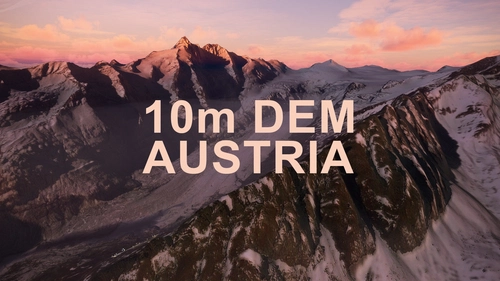
AUSTRIA 10m DEM - High Resolution Terrain Elevation Data from LIDAR Imaging
Explore the stunning terrain of Austria with this mod featuring high-resolution LIDAR data, offering a mesh resolution of 10m for a more realistic flight experience. Flatten lakes, rivers, and eliminate any terrain artifacts as you soar over the Austrian landscape. Divided into regions for convenience and performance optimization, this mod enhances the mountain shapes to mirror reality and provides a smoother flying experience. Experience Austria like never before with enhanced elevation data and realistic terrains.
by Troglodytus
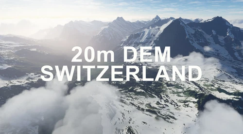
SWITZERLAND 20m DEM - High Resolution Terrain Elevation Data from LIDAR Imaging
Explore the beauty of Switzerland with this mod offering high resolution terrain elevation data using LIDAR imaging. The mesh resolution is 20m, providing exceptional detail with a height resolution of 0.1m. Update includes extreme LIDAR meshes for specific regions. Please note potential performance impacts and report any bugs for further improvements. Fly VFR over Switzerland with enhanced realism and accuracy.
by Troglodytus
Log in to join the discussion
Log InComments(44)
over 2 years ago
over 2 years ago
Thank you.
almost 4 years ago
Hi, thank you for your work. I really like the 20m Slovak net. It's really kind of a game changer when it comes to this part of Europe. As a Pole, I really appreciate the opportunity to fly over the more realistic Tatra Mountains. At least some of them ;) Is there a chance for a similar thread about Polish lands?
Cheers!
Michal
almost 4 years ago
Thank you so much for your kind words! Unfortunately I did not find any detailed (and freely available) LIDAR imaging for Poland yet. Maybe someday :-)
over 3 years ago
https://www.geoportal.gov.pl/dane/numeryczny-model-terenu
What about this? Isn't that the data you are looking for?
over 4 years ago
After the WU7 simulator is being cutting. After uninstalling DEM Slovakia the simulator runs without problems and smoothly. Any idea? Do I need to change anything in the settings? This scenery is very nice and I wouldn't want to lose it. Thank you.
almost 4 years ago
Thank you so much and very sorry for the late response. Seems like I just missed your comment!
Yes, Asobo changed some internal ways the meshes / earths geometry is being handled - making terraforming rectangles less responsive and causing stutters and lags. Thus I do not recommend the usage of DEM mods at the moment if you are not having a high end PC.
Maybe something will change in the future. My mesh mods will still be available though for those people who just want the extra features :-)
over 5 years ago
Wow. This is great mod. Mountains and valleys look much better.
over 5 years ago
I am now a DEM addict as well.. would be nice for a fix on MT Everest..good job
over 5 years ago
Mikeaat already tried. The available data is no improvment to the current situation.
If I am informed correctly the Nepali government is creating LIDAR data right now that will be published in a few years.
over 5 years ago
Great! Please create Bulgaria
over 5 years ago
Thanks for the Amazing work, appreciate it so much :)
over 5 years ago
Thanks a lot!