Scenery EnhancementsTerrain Enhancements
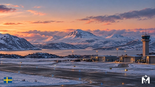
ESNQ – Kiruna Airport | Enhancement
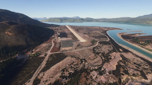
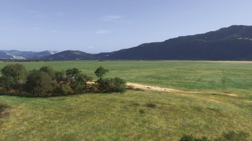
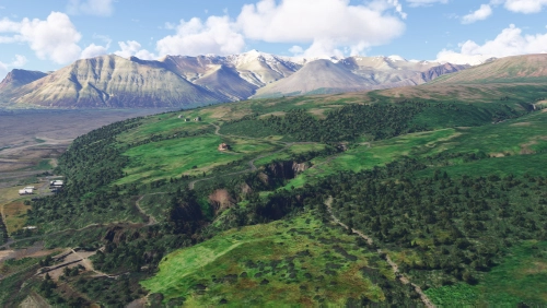
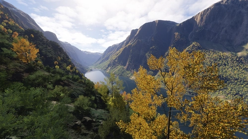
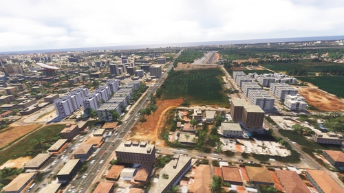
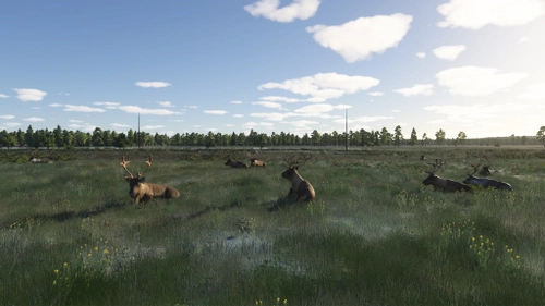
This add-on enhances the surroundings of Kiruna Airport ESNQ with refined landscape features, improved biomes, and added natural elements like lakes and rock formations. The update addresses poorly textured structures and cleans up the area for a more consistent and realistic visual experience. The enhancements are designed to improve immersion during approaches and landings. Compatibility with the payware Orbx Kiruna Airport scenery is recommended for optimal results.
Mansanet
MSFS2024
4.0(1)
141
21.8 KB
2 hours ago
![[ULLI] Pulkovo Airport Runway & Taxiway Tree Fix (Digital Design)](https://cdn.flightsim.to/images/28/20260709_031831_bac0614c781b214e_ulli-pulkovo-airport-runway-taxiway-tree-fix-digital-design.png?width=500)