
Description
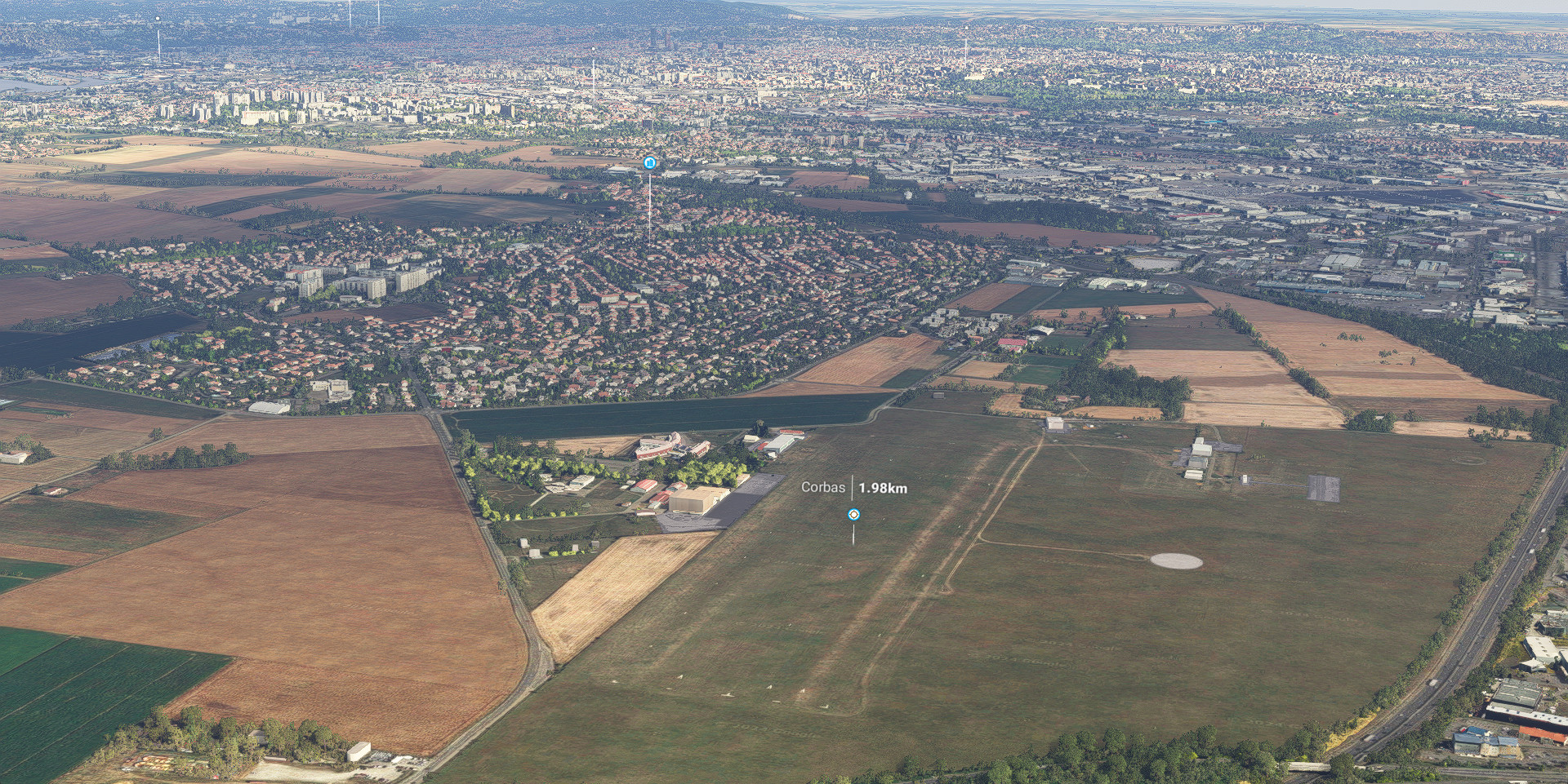
Lyon Southeast, Rhône-Alpes, France (Extension) (38 cm res.).
This addon is an extension of Lyon, Rhone-Alpes, France.
You can extend this scene using Lyon Northwest, Rhône-Alpes, France.
You can extend this scene using Lyon Northeast, Rhône-Alpes, France.
When parts are downloaded, simply extract into community folder.
Zip file including :
adrianl-lyon-se (Main file) : photogrammetry & terraforming data.
Addon size : 4.83 Go
Credits :
-Thanks to Thalixte for the GETOD tools.
-Thanks to Elie Michel for sharing Lily texture Packer.
-Thanks to Jonahex111 for graciously sharing Earth2MsfsWPF and Thalixte to keep it up to date.
-Thanks to all other software and add-on creators who shared their tools to archieve this work.
Check my website > https://adrianltry.wixsite.com/adrianlscenery
Donation > https://paypal.me/adrianltry
Notes :
For more questions, see the FAQ section in About & Built Method on my website.
Frequently Asked Questions
Location
Lyon Southeast, Rhône-Alpes, France (Extension)
Explore an extension of Lyon Southeast, Rhône-Alpes, France at 38 cm resolution, enhancing your virtual flight experience. This add-on complements the Lyon, Rhone-Alpes, France scenery and can be further extended with Lyon Northwest and Lyon Northeast expansions. Immerse yourself in detailed photogrammetry and terraforming data, totaling 4.83 GB in size for a comprehensive visual upgrade. Visit the creators website for more information and consider supporting their work with a donation.


User Reviews
1 reviews
Version History
V2.0 :Major update. Better integration of photogrammetry (flat surfaces on the ground are no longer visible (e.g. fields, streets)), so you can use your own background maps (Bing, Maps, etc.). The native MSFS trees have been retained and form a hybrid with the photogrammetric trees. Large areas with predominantly photogrammetric trees have been removed where possible. As a result, the volume of the package is significantly reduced. Feel free to give me your feedback.
Log in to join the discussion
Log InComments(4)