Description
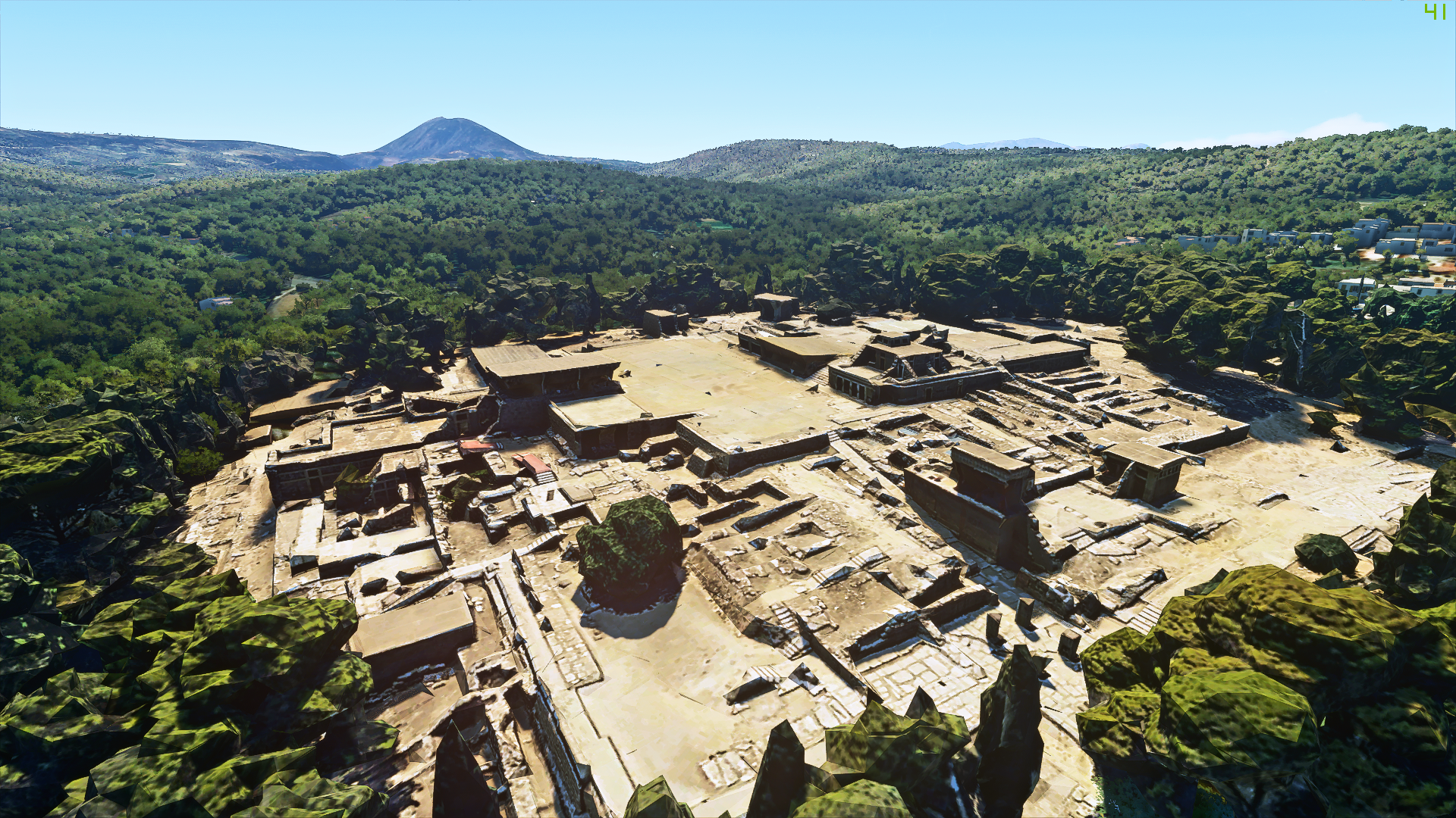
Info: Continuing with my Greek landmarks and places of interest, a smaller scenery this time, Knossos palace, a ceremonial and political centre of the Minoan civilisation and culture on the island of Crete. Also called Europe's oldest city. You can see the excellent details of the site in most places, but sometimes it can look a little bit off. Generally a useful add on for those who want a reason to visit the island or do VFR tourism. (or if you are a Greek yourself)
How to install: Drag and drop the folder from the .zip , in your "Community" folder. That's it, enjoy!!
Trivia: Knossos (also Cnossos, Greek: Κνωσός, is the largest Bronze Age archaeological site on Crete and has been called Europe's oldest city.Settled as early as the Neolithic period, the name Knossos survives from ancient Greek references to the major city of Crete. The palace of Knossos eventually became the ceremonial and political centre of the Minoan civilization and culture. The palace was abandoned at some unknown time at the end of the Late Bronze Age, c. 1,380–1,100 BC. The reason why is unknown, but one of the many disasters that befell the palace is generally put forward.In the First Palace Period (around 2,000 BC), the urban area reached a size of as many as 18,000 people. In its peak, the palace and surrounding city boasted a population of 100,000 people shortly after 1,700 BC.*
*source: Wiki
Comments(4)
Log in to join the discussion
Log Inover 5 years ago
over 5 years ago
almost 6 years ago
Knossos - Ancient Greek site
Explore the ancient Greek site of Knossos palace in this Microsoft Flight Simulator add-on. Experience the detailed recreation of the ceremonial and political center of the Minoan civilization on the island of Crete. Perfect for VFR tourism and those interested in Greek history.

User Reviews
4 reviews
Location
More Information
Version History
Color corrected the textures to make the scenery fit better with its environment.
Related
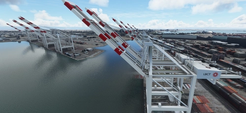
San Pedro Bay Port Facilities, Los Angeles & Long Beach CA USA (V3.0 MSFS2020) / (V1.3 MSFS2024)
This add-on provides detailed scenery enhancements for the San Pedro Bay port facilities in Los Angeles and Long Beach, California, specifically optimized for both MSFS2020 and MSFS2024. Version 3.0 for MSFS2020 features improved models, with significant updates including new cargo crane designs and streamlined asset management. The MSFS2024 version introduces additional upgrades and new details while ensuring compatibility with the latest simulator features.
by FreakyD
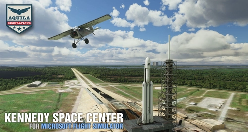
Kennedy Space Center
Explore the iconic Kennedy Space Center in Microsoft Flight Simulator with this detailed add-on, featuring key landmarks such as the VAB Building, Launch Control Building, and Launch Complexes 39A & 39B. Witness the impressive Falcon Heavy Rocket and SpaceX Rocket Assembly building as you embark on virtual space missions. Additional updates promise more buildings and assets to enhance your experience.
by Acktu
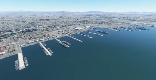
US Navy - San Diego V3.0.1
The US Navy - San Diego V3.0.1 add-on enhances the naval scenery around San Diego in Microsoft Flight Simulator. It includes a variety of updated ship models and improved textures, ensuring compatibility with both MSFS2020 and MSFS2024. Key features include detailed representations of the Rosecrans Submarine Base, multiple naval shipyards, and various classes of ships, including attack submarines and aircraft carriers. Recent updates have focused on model clean-up and the addition of interactive landing pads for helicopters.
by FreakyD
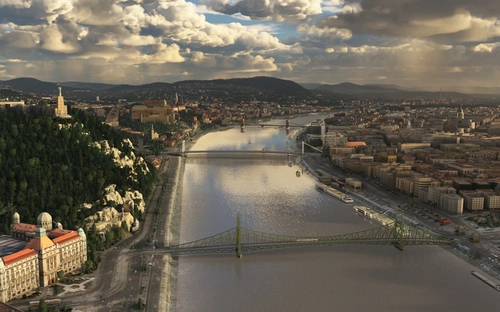
HungaryVFR FS2020
HungaryVFR is a package covering Hungary with airports and landmark sceneries, with its own library. The main goal is to bring as many airports and landmarks to Hungary as many we can, to have an authentic library for the are. The library can be used by other 3rd party scenery developers!
by ekre
10 months ago