
Description
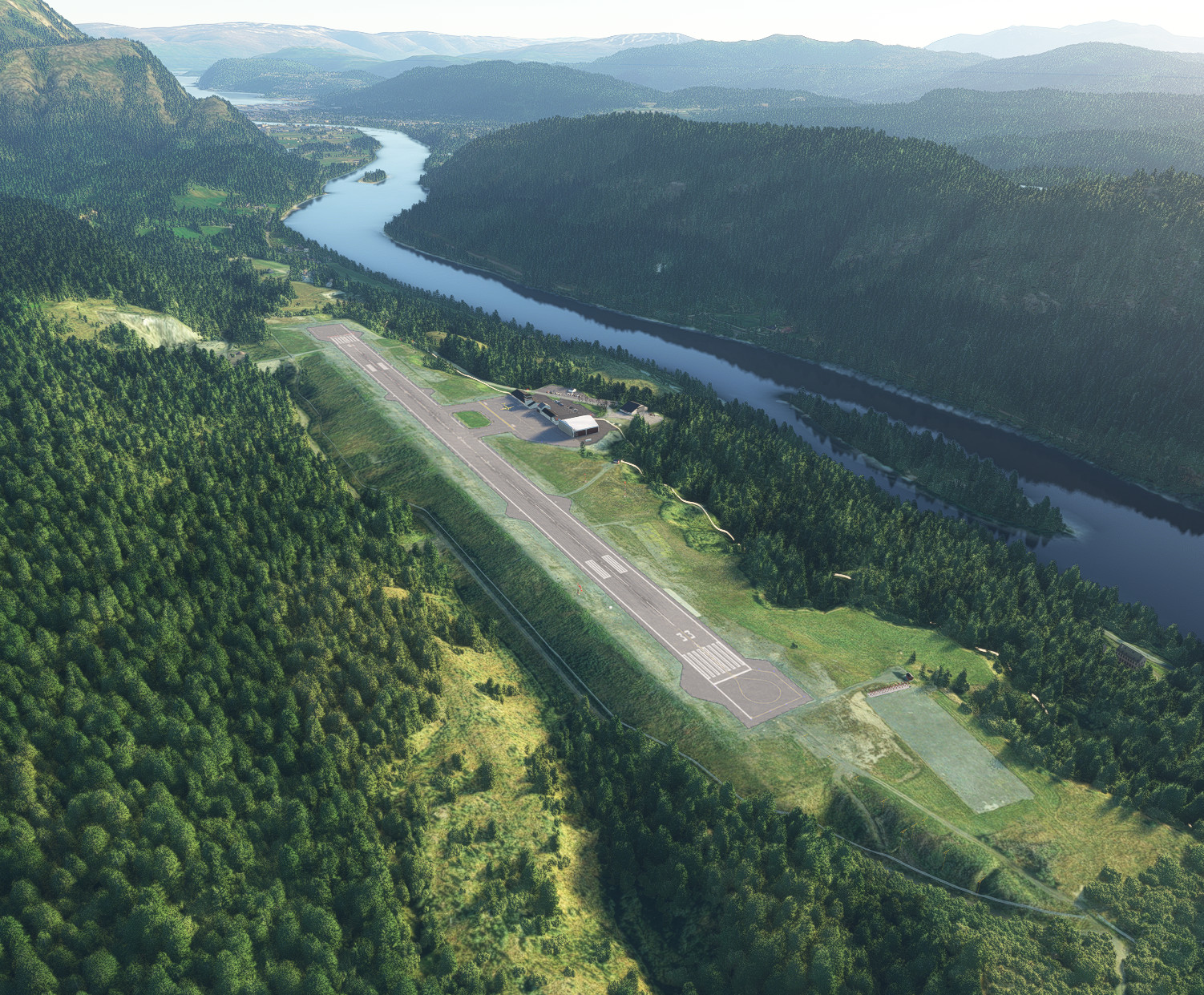
ENMS - Mosjøen airport.
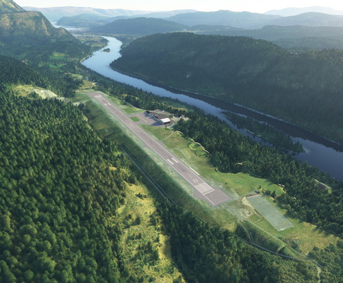
Mosjøen Airport is a regional airport serving the town of Mosjøen in Vefsn Municipality in Nordland county, Norway. In 2014, Mosjøen Airport had 61,480 passengers. It is owned and operated by the state-owned Avinor.
The airport is served by Widerøe with Dash 8 aircraft connecting the community to the nearby towns of Bodø and Trondheim. The routes are operated on public service obligation with the Ministry of Transport and Communications.
The location of the airport can make approaches difficult during low visibility. To the north of the airport at a range of apx. 2,9 nm, you find the montain Stortuva with an elevation of 818,9 m. Approach to RWY 15 and departure from RWY 33 must be done with a offset to stay clear of the high terrain.
Package content:
- Custom made buildings and objects.
- Custom made elevation mesh for the area around the airport with 1m resolution.
- Custom aerial imagery for the airport and close area.
- The airport is made with runway/taxiway lights, leading lights, ground markings etc. as true to life as current information makes possible. If you discover errors, things that can be improved or things that is missing, please notify me so I can fix it for later versions.
Version 1.1:
- Removed trees from south end of helicopter ramp.
- Added texture to field in front of localizer antennas.
- Minor changes to some 3D models.
- Changed parking areas to general aviation to prevent large airliners to spawn.
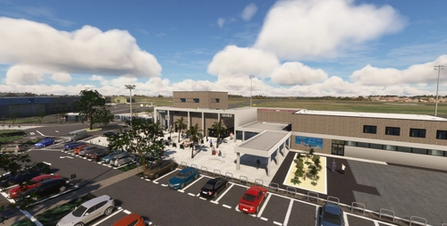
- Added people inside/outside of airport.
- Added circling lights to RWY 15 and flashing lead lights to RWY 33 and RWY 15.
- Added more red anti-collision lights for the area.
Installation:
Make sure to delete earlier versions if installed. Then, just unpack .zip file and drag scenery folder into the community folder.
Also check out my other work/contributions:
Harstad/Narvik Evenes airport (ENEV)
Honningsvåg Airport, Valan (ENHV)
Scenery elevation mesh (C) Norwegian Mapping Authorities
Location
ENMS - Mosjøen airport
Experience the regional charm of ENMS - Mosjøen Airport in Nordland county, Norway. This add-on features custom buildings, accurate elevation mesh, and detailed aerial imagery for a true-to-life simulation. Version 1.1 enhancements include texture updates, added lighting elements, and improved 3D models. Ensure a smooth installation by following the provided instructions and explore other scenic contributions by the creator.

User Reviews
17 reviews
Version History
- Removed trees from south end of helicopter ramp. - Added texture to field in front of localizer antennas. - Minor changes to some 3D models. - Changed parking areas to general aviation to prevent large airliners to spawn. - Added people inside/outside of airport. - Added circling lights to RWY 15 and flashing lead lights to RWY 33 and RWY 15.
Featured in Collections(1)

Related
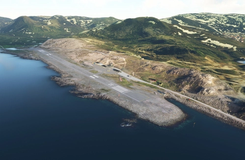
ENHV - Honningsvåg airport, Valan
Explore Honningsvåg Airport (ENHV) in Nordkapp, Norway with this detailed add-on featuring custom buildings, elevation mesh, and aerial imagery. Enjoy a realistic airport experience with accurate lighting, markings, and objects. Dont miss out on other scenic contributions by the developer for a truly immersive flight simulation.
by Sauron
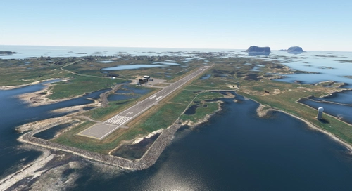
ENRS - Røst airport
Explore the ENRS - Røst airport add-on, bringing to life the regional airport serving Røst Municipality in Nordland county, Norway. Enhance your virtual experience with custom-made buildings, detailed elevation mesh, and aerial imagery for the area and surrounding islands. This package offers true-to-life airport features and runway/taxiway lights, promising an immersive flying experience in this unique location.
by Sauron
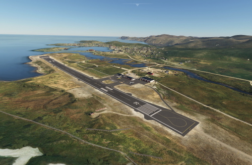
ENMH - Mehamn airport
Enhance your flight simulator experience with a custom-made rendition of ENMH - Mehamn Airport, located in Finnmark county, Norway. This add-on includes detailed models of the main terminal, nearby buildings, landmarks, and maritime navigation marks, along with realistic ground markings and custom aerial imagery. Additionally, it features a 1m resolution elevation mesh to offer a more accurate terrain representation around the airport area.
by Sauron
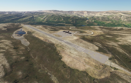
ENBS - Båtsfjord airport
ENBS - Båtsfjord Airport is a regional airport located in Finnmark county, Norway, featuring a 1,000 by 30 meters runway. This add-on includes custom models and landmarks within the airport area, enhanced elevation mesh, and accurate ground markings. Although some known issues exist regarding lighting and model details, the developer welcomes feedback for future improvements.
by Sauron
Log in to join the discussion
Log InComments(43)
2 months ago
about 1 year ago
about 1 year ago
almost 2 years ago
over 2 years ago
over 2 years ago
over 2 years ago
over 2 years ago
over 2 years ago
over 2 years ago
over 2 years ago
over 2 years ago
over 2 years ago
over 2 years ago
over 2 years ago
over 2 years ago
over 2 years ago
over 2 years ago