
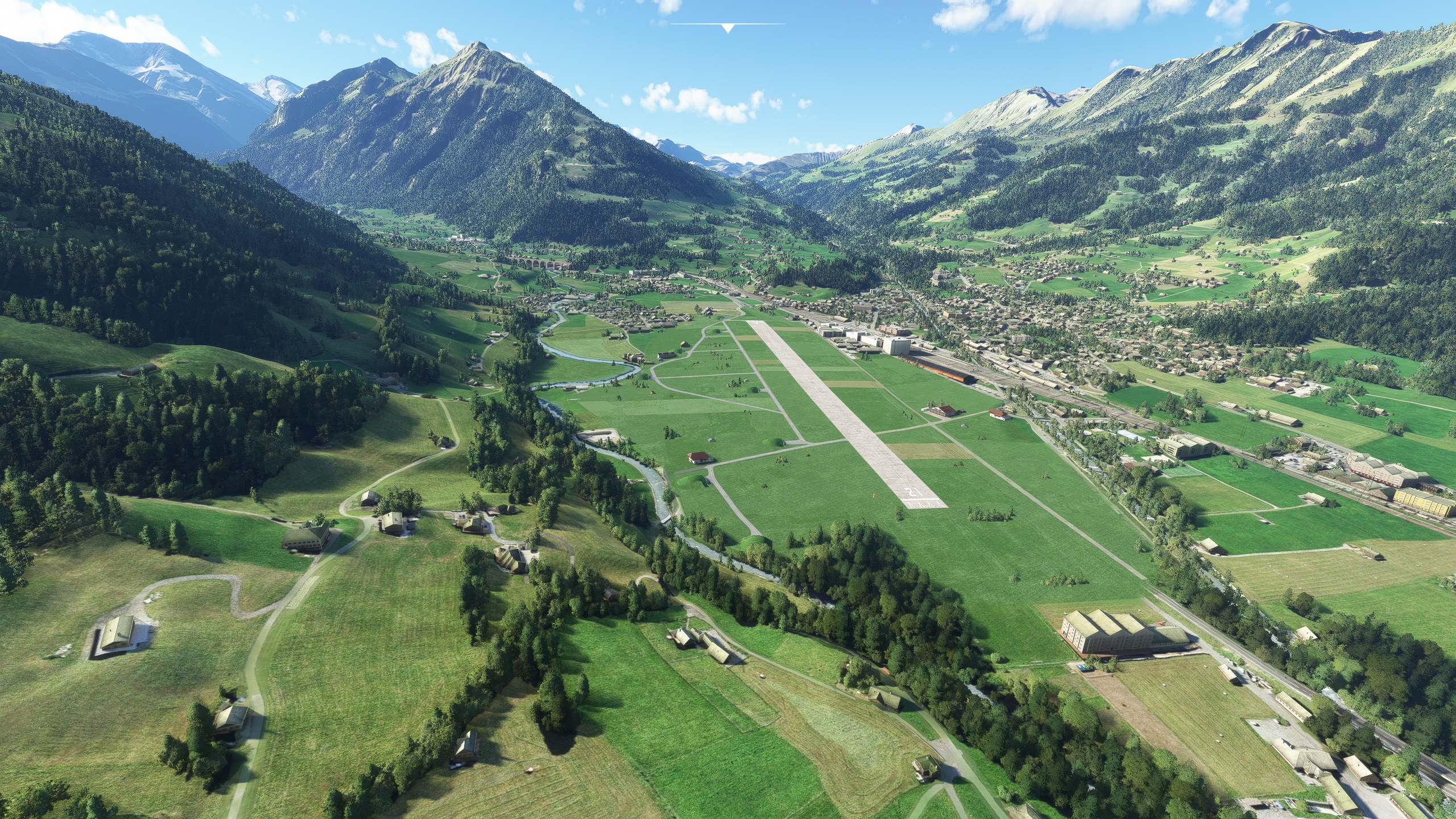
Description
Version 2.1, based on feedback from JazzSam: Parking spots added.
Little Update in the screenshot section: checkout the new video that shows the spectacular circle-to-land approach to RWY03
Version 2.0, based on user request: Maintenance hangar added / sloped runway with 18m elevation difference / many typical hay barns added in the middle of the airfield / taxiways re-textured / windsocks added
The perfect place for the new JU-52 and PC-6 Porter add-ons!! This is also the perfect place to take of with my PC-6 Swiss liveries!
This scenery contains the military airport from Frutigen in its 1967 shape. Built during WWII, attempts to use it with fast jets later were not fruitful (the runway is only 900m) so it was used by air transport units (which operated both PC-6 as the JU-52). The airport was finally closed in 1997. So if you would like to bring back a small piece of aviation history, this scenery is for you!
Additionally, the iconic 265m long Kander viaduct of the BLS railway is added to the scenery.
This is a typical Swiss military airport, where public roads run everyhwere through the airfield, where farmers cultivate hayfields between taxiway and runway and so on.
The following image shows the real airport in 1967 located to the right from the railyway station (the runway is hardly visible, because the image seems to be manipulated to make the classified airport at that time as invisible as possible). At the bottom of the image, you see the BLS viaduct:
The scenery excludes quite a bit of later built buildings and roads. Also the cars, running across the airfield are excluded!
Besides that the infrastructure is not dense. Also the real airport bascially had 8 U-43 shelters and a hangar and that was it.
Location
LSFR - Frutigen 1967
Experience the historical Swiss military airport of LSFR - Frutigen in its 1967 form with this add-on. Explore the sloped runway, iconic Kander viaduct, and unique features like hay barns on the airfield. Perfect for aircraft like the JU-52 and PC-6 Porter, this scenery captures a piece of aviation history with its authentic details and military charm.


User Reviews
2 reviews
Version History
Added parking places
Related
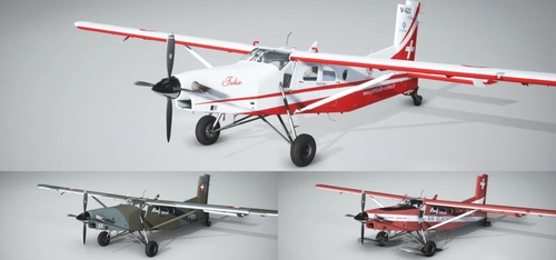
PC-6 Swiss Liveries - Air Glaciers and Swiss Air Force
Experience the iconic Swiss Air Force and Air Glaciers liveries for the default MSFS PC-6, featuring ski and wheel versions. Perfect for landing on Swiss glaciers and exploring Europes highest mountains. No special scenery required, just enable snow for a realistic flying experience.
by Martin Rüedi
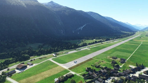
LSMC - Ulrichen
Experience the former Swiss Air Force jet air base of Ulrichen (LSMC) in Microsoft Flight Simulator. This scenery offers a challenging canyon approach, unique wooden bridge taxiways, and a detailed replica of the Furka-Oberalp railway system. Fly from the highest fighter air base in Europe and explore historic aircraft shelters and hangars from the 1970s.
by flightzoomer
PushbackZoomer - Pushbacks controlled by voice only
PushbackZoomer is a Windows 10 app that allows voice-controlled pushbacks with minimal user interface. It supports realistic voice commands triggered step by step for an improved pushback procedure, providing feedback via audio output. The app features a zero-controls GUI, activates voice recognition only when needed, and recognizes a predefined set of English commands. Operating in beta, it offers a unique experience with virtual pushback drivers in various moods.
by Martin Rüedi
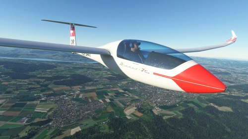
Discus-2c - HB-3447 - Segelfluggruppe Bern
A colorful and authentic representation of the Discus 2C HB-3447 from Segelfluggruppe Bern, featuring a large Swiss flag in the red band. Compatible with version 2.0.6 of the base package. Update includes registration below the wing.
by Model Instruments
Log in to join the discussion
Log InComments(27)
about 1 month ago
6 days ago
Besides that, the marketplace version has more custom buildings (like the Pflichtlager and the taxiway bridge over the Kander river to the Einschiessanlage) and improved surroundings too. For these reasons it is payware.
over 2 years ago
over 4 years ago
Hab meine Wertung angepasst auf 5, mit Parkfeldern Top.!!!
almost 5 years ago
Schön gemacht, aber ohne Parkfeld für mich nicht brauchbar. (Kalt & Dunkel Start)
almost 5 years ago
Hoi Sam, Parkfelder sind unterwegs....
almost 5 years ago
Parking spots have now been added with version 2.1
over 4 years ago
Sehr gut, vielen Dank dafür. Grüsse aus Winterthur
Ich weiss das es viel Arbeit macht solche Plätze umszusetzen. Respekt!!!
about 5 years ago
Very cool, bringing it back to life.
Did you know the GIS-Browser has historic aerial images which might help you with more exact placing of things? As of 1975 two of the shelters seem to be gone already - one is still somewhat visible though.
https://map.geo.admin.ch/?lang=de&topic=ech&bgLayer=ch.swisstopo.pixelkarte-farbe&layers=ch.swisstopo.zeitreihen,ch.bfs.gebaeude_wohnungs_register,ch.bav.haltestellen-oev,ch.swisstopo.swisstlm3d-wanderwege,ch.astra.wanderland-sperrungen_umleitungen,ch.swisstopo.swissimage-product&layers_opacity=1,1,1,0.8,0.8,1&layers_visibility=true,false,false,false,false,true&layers_timestamp=19691231,,,,,1975&E=2616723.50&N=1159796.11&zoom=11
(copy & paste the url, as the link doesn't work)
about 5 years ago
Hey, great link! I did not have that source, but great indeed! But ... I see all the 8 shelters on it?
about 5 years ago
Ah yes, I can see it too now. I guess they were made to be hard to spot.
Also interesting, that 5 of the 8 still seem to exist today. Embedded in the residential area.