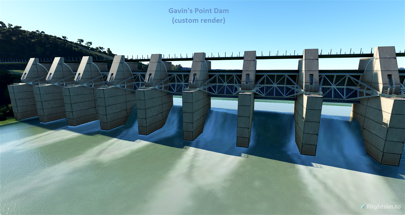
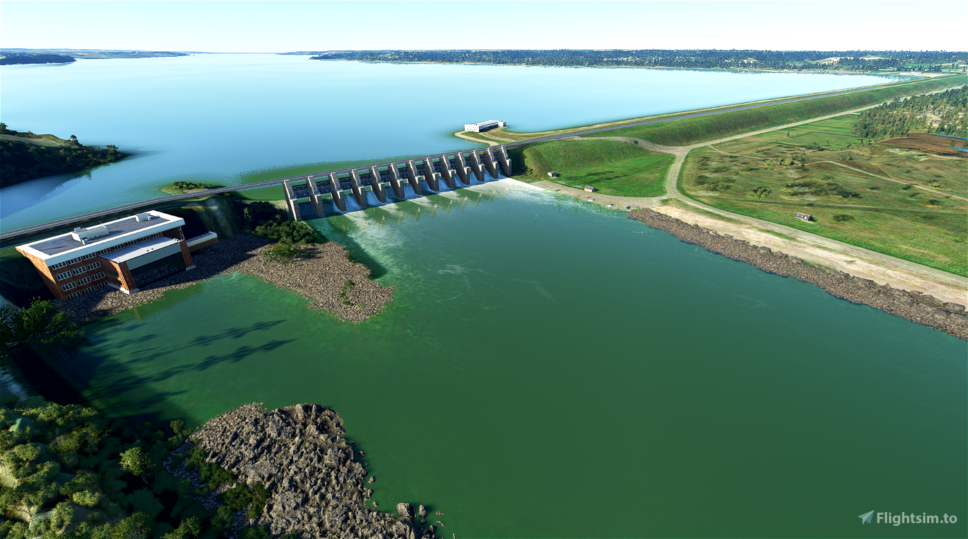
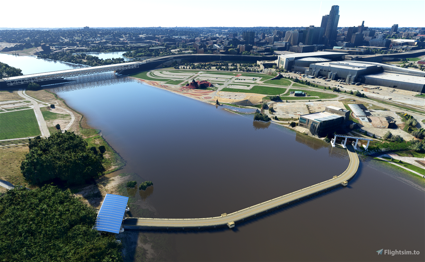
Elevation fixes, bridge improvements, and dam enhancements around the Missouri River. Coverage now goes North all the way to Gavins Point Dam on the Nebraska & South Dakota border, and south all the way to Kansas City. This should for the most part complete the fixes for the entire Missouri River. This update also fixes any spires in the area. A custom render of Gavin's Point Dam is provided from Blender (not photogrammetry). Note that to see the bridges you must have USA and Japan world content installed from the game's content manager.
New Version 1.50
(most significant update since 1.0)
- Expanded Coverage Area (Kansas to Nebraska to Iowa to South Dakota)
- Major Cities Include = Kansas City to Omaha to Sioux City to Yankton (Gavin's Dam)
- Improved coastline technique for better alignment of buildings and roads
- Further Improved the Gavin's Point Dam near Yankton
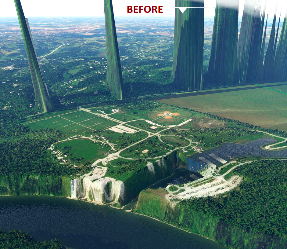
- Fixed tributaries and spire errors near Nebaska City Municipal (KAFK)
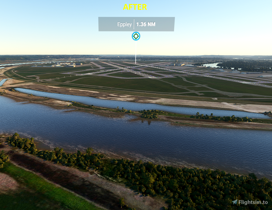
- Overall improved terrain and improved blending of river area
- Future Update Plans = Additional Custom Renders & POI's (TBA)
Version 1.4
- **Custom Render of Gavin's Dam Now Added**
- To find Gavin's Dam, fly out of Yankton (KYKN) and head SW about 5 miles
Version 1.0 to 1.3
- Extended coverage area all the way to South Dakota (and Sioux City, Iowa)
- Now properly preserved Mesh for Neale Woods (too flat+rigid in previous version)
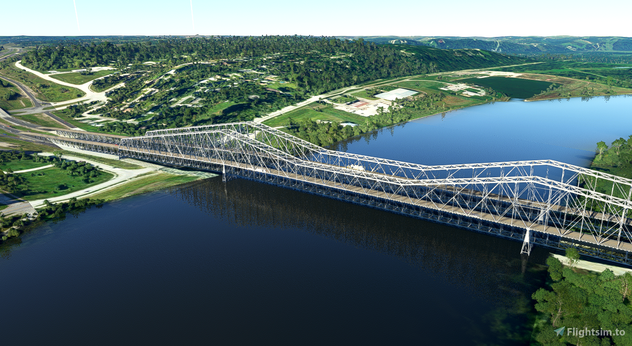
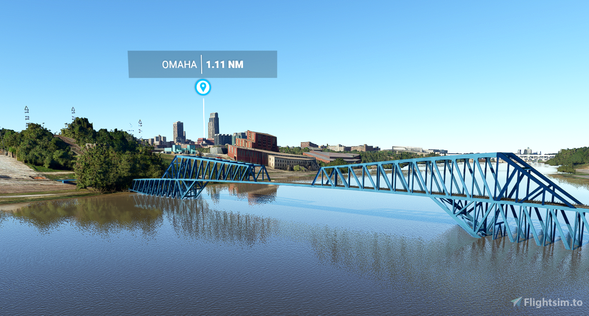
- Added 5 bridges (requires USA + Japan Content)
- Note: absolute perfect river blending is not possible due to issue in the area
Alpha 0.2 Update - Resolved Issues
- Slight improvement in water blending
- Fixed certain buildings being excluded
Optional: Support this project with a donation to help ensure its success...


3 years ago
knowosatka
3 years ago
AlpineScenery
3 years ago
3 years ago
AlpineScenery
JDasenbrock
3 years ago
atcscott
3 years ago
AVCORP
3 years ago
AlpineScenery
3 years ago
magnetic333