
Description
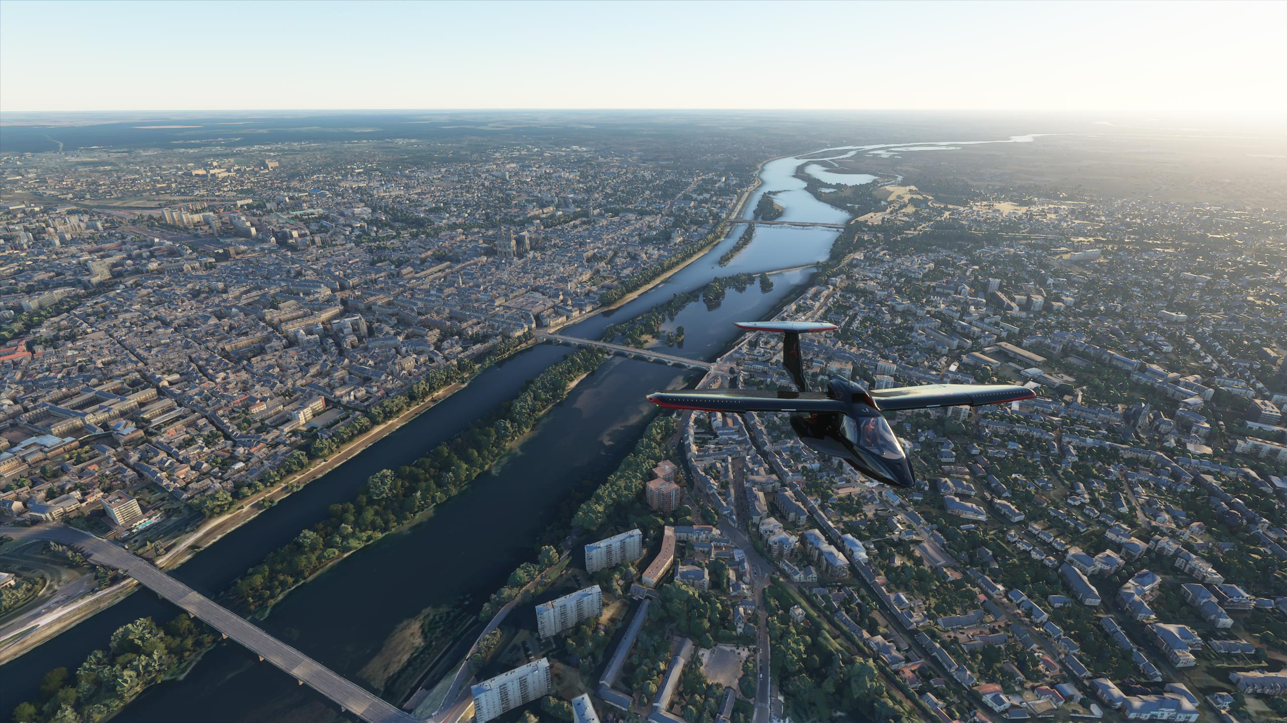
Orléans is a prefecture and commune in north-central France, about 120 kilometres (74 miles) southwest of Paris. It is the capital of the Loiret department and of the Centre-Val de Loire region.
Orléans is located on the Loire River where the river curves south towards the Massif Central. In 2017, the city had 116,685 inhabitants within its municipal boundaries. Orléans is the center of Orléans Métropole that has a population of 286,257, the 20th largest in France. The largest metropolitan area has a population of 444,681.
Île d'Orléans in Quebec, Canada is named after Orleans in France as well as Orléans, Ontario and the former French colony New Orleans, Louisiana. (French: La Nouvelle-Orléans)
Orléans is located in the northern bend of the Loire, which crosses from east to west. Orléans belongs to the vallée de la Loire sector between Sully-sur-Loire and Chalonnes-sur-Loire, which was in 2000 inscribed by UNESCO as a World Heritage Site. The capital of Orléanais, 120 kilometres southwest of Paris, is bordered to the north by the Beauce region, more specifically the Orléans Forest (French: forêt d'Orléans) and Orléans-la-Source neighbourhood, and the Sologne region to the south.
Five bridges in the city cross the Loire River: Pont de l'Europe, Pont du Maréchal Joffre (also called Pont Neuf), Pont George-V (also called Pont Royal, carrying the commune tramway), Pont René-Thinat and Pont de Vierzon (rail bridge).
To the north of the Loire (rive droite) is to be found a small hill (102 m (335 ft) at the pont Georges-V, 110 m (360 ft) at the Place du Martroi) which gently rises to 125 m (410 ft) at la Croix Fleury, at the limits of Fleury-les-Aubrais. Conversely, the south (on the rive gauche) has a gentle depression to about 95 m (312 ft) above sea level (at Saint-Marceau) between the Loire and the Loiret, designated a "zone inondable" (flood-risk zone).
At the end of the 1960s, the Orléans-la-Source neighbourhood was created, 12 kilometres (7 mi)to the south of the original commune and separated from it by the Val d'Orléans and the Loiret River (whose source is in the Parc Floral de la Source). This quarter's altitude varies from about 100 to 110 m (330 to 360 ft).
GPS: 47° 54′ 9″ N, 1° 54′ 32.4″ E
Credits:
This scenery has been extracted from Google Maps, hence all 3D credits goes to Google.
This scenery has been generated with the Google Earth Decoder tool (credits to /u/Jonahex111):
https://www.reddit.com/r/FS2020Creation/comments/j3faaj/google_earth_decoder_now_userfriendly/
Addon history:
v1.0: initial release
v1.1: fix road traffic on some bridges
v2.0: overall optimization:
This is a major update that optimizes the package, as it drastically reduces the number of texture files:
- less files on the package:
before: 16 561 files
after: 1115 files
- reduced CPU footprint
- reduced loading time at startup
- less CPU load, so it can leads to better perfs depending on the config
- better road traffic integration
Special thks to Spacewolf1 that have measured the loading impact of the number of files in the packages:
https://www.homecinema-fr.com/forum/post180436860.html#p180436860
v2.1: Fix some texture flickering issues
v3.0: Fix a big issue with the LOD management system, due to the way Google Earth Decoder places and sizes the tiles. Now, there should not be any FPS issues, and framerate should be better and more consistent
v3.1: Add a fix for possible CTD issues ( https://flightsim.to/blog/creators-guide-fix-ctd-issues-on-your-scenery )
v3.2: Change LODs settings
v3.3:
- Add City landmark
- Slighly reduce package size, by removing unused files
v3.4: reduced package size
Installation:
Remove old orleans folder, if it exists. Download thalixte-orleans.zip. Extract thalixte-orleans folder into the Community folder.
Location
Orléans City
Discover the beauty of Orléans City in this Microsoft Flight Simulator scenery add-on. Explore the prefecture and commune in north-central France, featuring key landmarks and details of the region along the Loire River. Experience the rich history and vibrant atmosphere of Orléans with this detailed recreation.
User Reviews
9 reviews
Version History
Reduced package size
Related
Honolulu
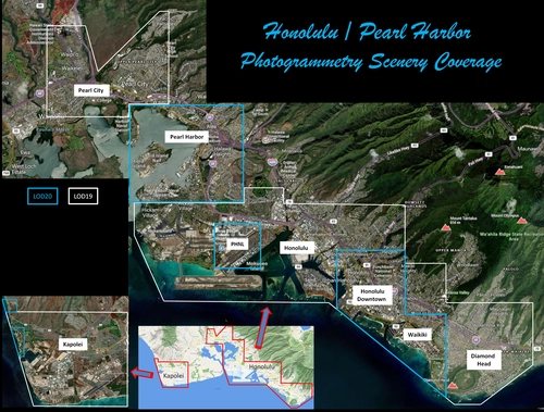
Explore the photogrammetry scenery of Honolulu, including the iconic Pearl Harbor area with optimized performance for better FPS. Discover Waikiki, Honolulu downtown, and more with this detailed addon. Enhance your experience by adding free mods for carriers, battleships, and military airplanes in Pearl Harbor and surrounding bases. Support the creator for future updates if you enjoy this mod.
by steveli
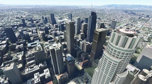
Downtown Los Angeles
Various buildings and monuments that are missing from Los Angeles in the game that shoudn't be. Wilshire Grand Center, SoFi Stadium, 801 S Grand, 825 S Hill, 888 S Hope, 1000 Grand, Apex the One, Atelier, Aven Apartments, Metropolis Towers, Level Los Angeles
by senecadriver
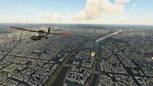
Paris
Explore the iconic cityscape of Paris in Microsoft Flight Simulator. This detailed add-on captures the essence of the French capital, featuring famous landmarks and architectural marvels. With accurate GPS coordinates, immerse yourself in the beauty of Paris, known for its historical significance and vibrant culture. Download now and experience the City of Light from a whole new perspective.
by Thalixte
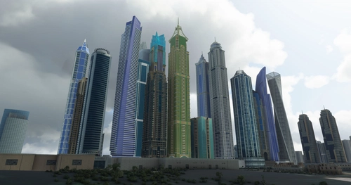
Dubai City Pack
Explore a detailed rendition of Dubai City and Jebbel Ali Port featuring over 250 custom buildings and various landmarks like the iconic hotels and tourist attractions. While focusing on enhancing the daytime visuals, this pack offers improved textures for select buildings, promising a refreshing experience for simmers. Additionally, adjustments have been made to SkyDive Dubai Airport to address previous elevation issues, ensuring a more immersive flight into this dynamic cityscape.
by risuali
Log in to join the discussion
Log InComments(20)
5 months ago
pas pu prendre de meilleur photo vue que le vol ne ce lance pas
about 2 years ago
almost 2 years ago
about 5 years ago
Limoges, pleeease, you're work is incredible and my donation for Limoges will be good!!!
almost 6 years ago
almost 6 years ago
almost 6 years ago
Je ne comprends pas mais ça marche alors tant mieux.
Par contre le pique de la cathédrale avec le croix et décalé, je vois la tour et la croix tout en haut est décalé à coté de la tour "elle vole".
Pareil chez vous ?
almost 6 years ago
almost 6 years ago
Si qqun a une source ...
almost 6 years ago
almost 6 years ago
almost 6 years ago
Donc merci aussi pour la motivation, et je vais tenter de suivre les liens que tu as indiqués. Euh... à moins qu'une inspiration subite ne t'inspire?
A nouveau respect pour le travail!
almost 6 years ago
J'ai bien peur que Google mette bientôt le cadenas dans ces maps ou un caisse enregistreuse :D :D :D
almost 6 years ago
almost 6 years ago
almost 6 years ago
almost 6 years ago
almost 6 years ago
almost 6 years ago
almost 6 years ago