
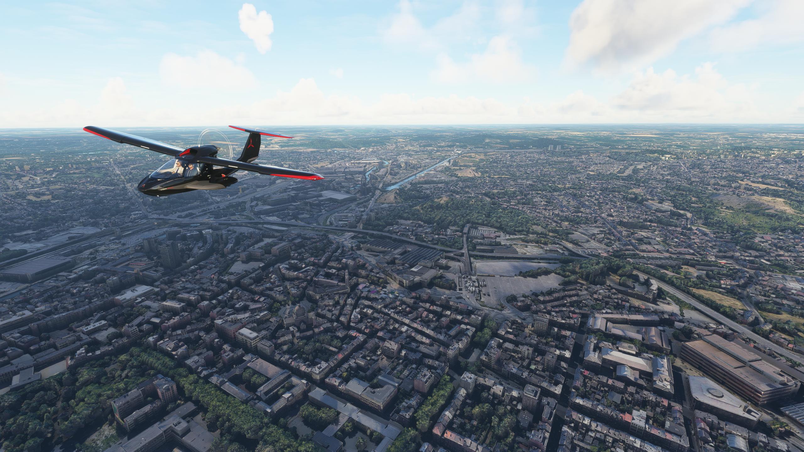
Description
Charleroi is a city and a municipality of Wallonia, located in the province of Hainaut, Belgium. By 1 January 2008, the total population of Charleroi was 201,593. The metropolitan area, including the outer commuter zone, covers an area of 1,462 square kilometres (564 sq mi) with a total population of 522,522 by 1 January 2008, ranking it as the 5th most populous in Belgium after Brussels, Antwerp, Liège, and Ghent. The inhabitants are called Carolorégiens or simply Carolos.
The municipality of Charleroi straddles both banks of the river Sambre in an area marked by industrial activities (coal mining and steel industry), which has been nicknamed the Pays Noir ("Black Country"), part of the larger sillon industriel. Even though most of the factories have closed since the 1950s, the landscape remains dotted with spoil tips and old industrial buildings.
Charleroi lies around 50 kilometres (31 mi) south of Brussels.
GPS: 50° 24′ 0″ N, 4° 26′ 0″ E
Credits:
This scenery has been extracted from Google Maps, hence all 3D credits goes to Google.
This scenery has been generated with the Google Earth Decoder tool (credits to /u/Jonahex111):
https://www.reddit.com/r/FS2020Creation/comments/j3faaj/google_earth_decoder_now_userfriendly/
Addon history:
v1.0: initial release
Installation:
Download both thalixte-charleroi1.zip and thalixte-charleroi2.zip. Extract both thalixte-charleroi1 and thalixte-charleroi2 folders into the Community folder.
If you want to donate, you will always be welcome to help me continue with more projects and update the existing ones https://paypal.me/Thalixte.
Location
Charleroi City
Explore the city of Charleroi, a municipality in Wallonia, Belgium with a rich industrial history and a population of over 201,000. This add-on features detailed scenery straddling the river Sambre, showcasing the remnants of its coal mining and steel industry past. Located just 50 kilometers south of Brussels, Charleroi offers a unique glimpse into Belgiums industrial heritage.
User Reviews
3 reviews
Version History
No version history available.
Related
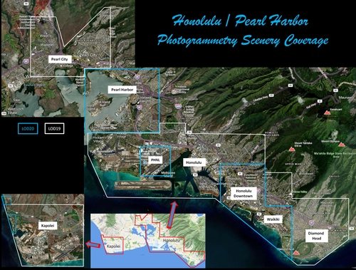
Honolulu
Explore the photogrammetry scenery of Honolulu, including the iconic Pearl Harbor area with optimized performance for better FPS. Discover Waikiki, Honolulu downtown, and more with this detailed addon. Enhance your experience by adding free mods for carriers, battleships, and military airplanes in Pearl Harbor and surrounding bases. Support the creator for future updates if you enjoy this mod.
by steveli
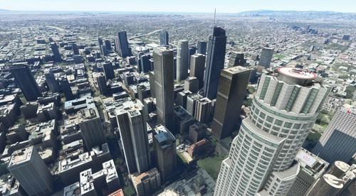
Downtown Los Angeles
Various buildings and monuments that are missing from Los Angeles in the game that shoudn't be. Wilshire Grand Center, SoFi Stadium, 801 S Grand, 825 S Hill, 888 S Hope, 1000 Grand, Apex the One, Atelier, Aven Apartments, Metropolis Towers, Level Los Angeles
by senecadriver
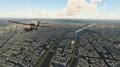
Paris
Explore the iconic cityscape of Paris in Microsoft Flight Simulator. This detailed add-on captures the essence of the French capital, featuring famous landmarks and architectural marvels. With accurate GPS coordinates, immerse yourself in the beauty of Paris, known for its historical significance and vibrant culture. Download now and experience the City of Light from a whole new perspective.
by Thalixte
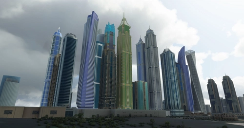
Dubai City Pack
Explore a detailed rendition of Dubai City and Jebbel Ali Port featuring over 250 custom buildings and various landmarks like the iconic hotels and tourist attractions. While focusing on enhancing the daytime visuals, this pack offers improved textures for select buildings, promising a refreshing experience for simmers. Additionally, adjustments have been made to SkyDive Dubai Airport to address previous elevation issues, ensuring a more immersive flight into this dynamic cityscape.
by risuali
Log in to join the discussion
Log InComments(36)
7 months ago
over 1 year ago
about 1 year ago
Not for the moment, sorry.
Best regards,
over 1 year ago
over 1 year ago
Best regards
almost 3 years ago
almost 3 years ago
almost 3 years ago
almost 3 years ago
almost 3 years ago
almost 3 years ago
over 4 years ago
Bonjour,
La sortie sur flightsim.to de la scène EBCI à Charleroi depuis 2 jours rend incompatible d’utilisation de la scène EBCI et la Photogrametrie de la ville. Il y aurait un problème d’Altitude….
Serait il possible d’adapter la Photogrametrie pour permettre de marier harmonieusement les deux ?
D’autre part la Photogrametrie de la ville s’arrête trop loin de l’aéroport. Ce serait vraiment bien d’intégrer la zone de l’aéroport à l`Interieur de la Photogrametrie, permettant de faire par exemple des tours de piste main gauche et main droite dans un environnement homogène. Une inclusion des entités de Gosselies, Heppignies, Fleurus et Ransart serait vraiment formidable.
D’avance merci 🙏
almost 5 years ago
Bonjour de temps en temps Il n'y a plus de lumiere la nuit sur toute la zone de la scène
over 5 years ago
over 5 years ago
over 5 years ago
almost 3 years ago
over 5 years ago
A quand EBLG et EBCI ?