
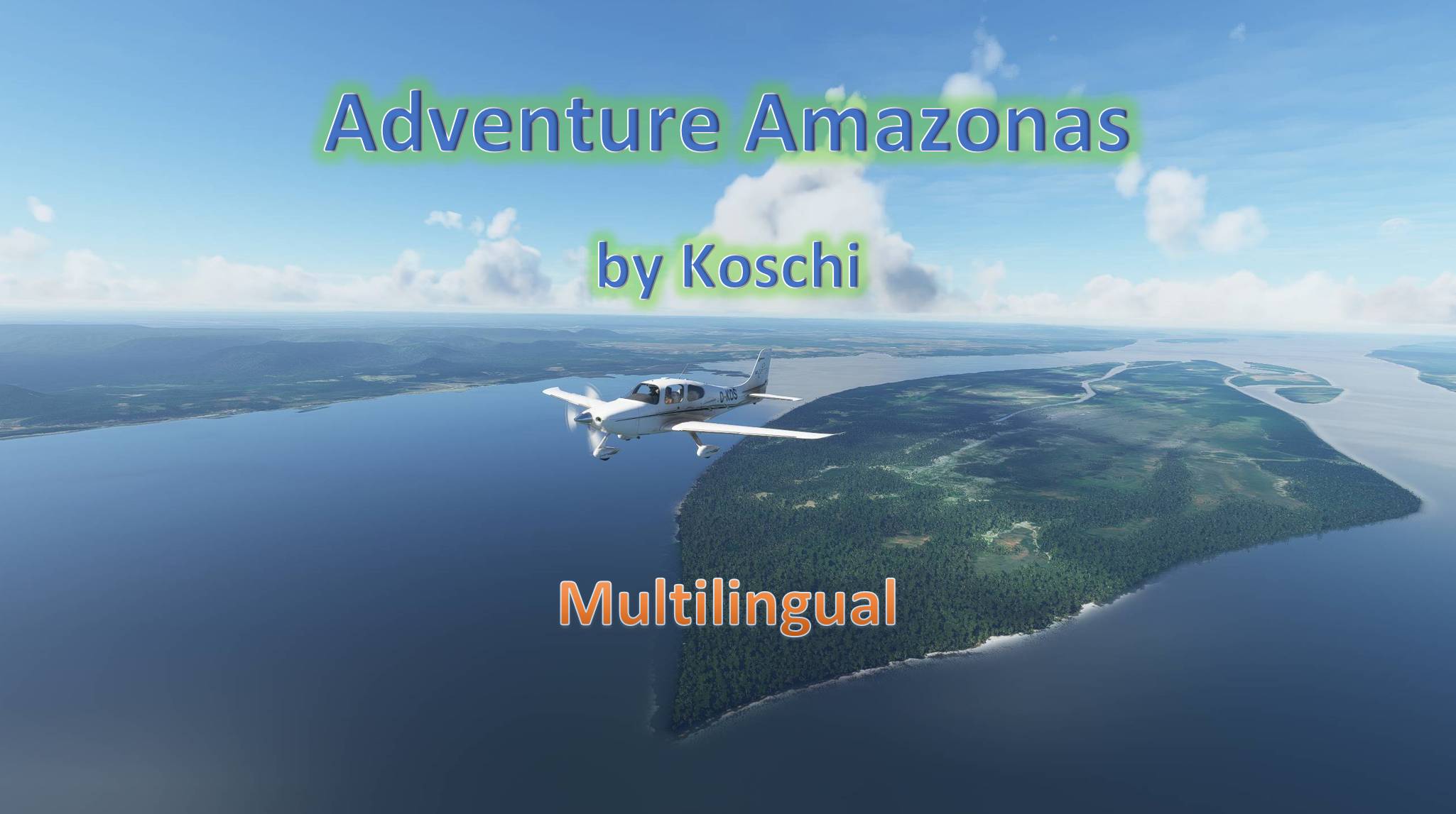
Description
Amazon River adventure
In 10 VFR legs, with almost 3,000 NM, it goes from the Amazon Delta, on the South Atlantic coast, to its origin in the high Andes. This source was disputed for a long time. Only since 2007 has the source in the Apacheta Gorge been recognized as the Amazon source furthest from the mouth of the river and since 11 September 2011 it has been designated as the source of the Amazon by an official marker board of the Geographical Society of Lima. The decisive factor here was to determine the geographically furthest source from the mouth of the river, which has a constant flow of water.
The Amazon, with its thousands of tributaries, is the most water-rich river in the world, whose main stream runs through the middle of the tropical rainforest, the "lungs of our earth". If you take this tour, even in the simulator, you will notice how much of the tropical rainforest has been cut down and how much of it is now used as pasture or farmland. You will also discover places (settlements and villages) that not even Google knows by name.
Anyone who has read about my other flying adventures will have noticed that it's not just the flying that appeals to me, but also the countries and cities that I travel to virtually. During the flight, I surf the Internet and search for all sorts of things that seem interesting to me. Hence the descriptions of the waypoints, which are not just about flying. You will come across exciting stories that tell of colonization and the fate of the Amazon Indians, and of course of the lives of people in the Amazon today.
Installation:
Unpack the included folder from the package into the community folder. Restart the simulator.
Specification:
- I chose the small but nippy Cirrus SR22 (Premium Deluxe version only) as the aircraft for this tour. The Pilatus PC-6 can be used for the standard version of the MSFS. If you would like to use a different aircraft, you can find instructions here: https://www.koschis-web.de/en-us/help-and-support#gps
- This trip is machine translated into all languages supported by the MSFS. The basic language is German. If you find any translation errors, please send me the corrections.
- A GPS course is available and can be obtained. (see https://www.koschis-web.de/en-us/help-and-support#change)
- The individual legs are about 300 NM long. If a stage is too long for you, you can interrupt it at any time. The flight is resumed at the last waypoint flown over. The time is the start time of the stage and must be adjusted if necessary.
- For users who do not wish to be subject to the restrictions of missions, a flight route is included in the package as a PLN file.
Flying tips:
- I flew at an altitude of 2,000 - 3,000 ft above the ground to get the best view of everything that comes under your "wings". Later, when the Peruvian Andes are reached, the service ceiling of this aircraft is fully utilized.
- The route does not always follow the course of the river exactly, otherwise too many waypoints would be necessary. If you want to follow the course exactly, you have to navigate yourself.
- The weather is freely selectable. Live weather is preset. Of course, the rainforest is not called a rainforest for nothing. With live weather, it is possible to see nothing but clouds the whole time. So choose the weather that suits you best.
- The trip is only over when the engine and electrics have been switched off and the handbrake has been applied. The best way to do this is to roll into a parking lot.
I wish you lots of fun on your flights and always safe landings,
Koschi
Created with BushTripInjector by BuffyGC.
Recommended AddOns:
AddOns are not necessary for these flights. Here are a few suggestions for a more enjoyable experience:
FOTOGRAMETRIA MANAUS, AM by rodukao
Manaus MegaPack - Brazil by pedrohpaiva
Abenteuer Amazonas
In 10 VFR-Etappen, mit knapp 3.000 NM, geht es vom Amazonasdelta, an der Südatlantikküste, bis zu seinem Ursprung in den Hochanden. Dieser Ursprung war lange Zeit umstritten. Erst seit 2007 ist die Quelle in der Apacheta-Schlucht als die mündungsfernste Amazonas-Quelle anerkannt und wird seit dem 11. September 2011 durch eine offizielle Markierungstafel der Geographischen Gesellschaft von Lima als Quelle des Amazonas ausgewiesen. Ausschlaggebend war dabei, die geographisch fernste Quelle zur Mündung festzulegen, die ständig Wasser führt.
Der Amazonas mit seinen tausenden Nebenarmen ist der wasserreichste Fluss der Welt, dessen Hauptstrom mitten durch den tropischen Regenwald führt, der „Lunge unserer Erde“. Wenn man diese Tour macht, wird man selbst im Simulator merken, wie viel vom tropischen Regenwald inzwischen abgeholzt wurde und dessen Fläche nun als Weide- oder Farmland genutzt wird. Darüber hinaus wird man Ortschaften (Siedlungen und Dörfer) entdecken, die nicht einmal Google mit Namen kennt.
Wer inzwischen etwas von meinen anderen Flugabenteuern gelesen hat, wird feststellen, dass mich am Fliegen nicht nur das Fliegen reizt, sondern darüber hinaus auch die Länder und Städte, die ich damit virtuell bereise. Während des Fluges surfe ich im Internet und suche nach allen möglichen Dingen, die mir interessant erscheinen. Von daher auch die Beschreibungen der Wegpunkte, wo es nicht nur allein um das Fliegen geht. Dir werden spannende Geschichten begegnen, die von der Kolonialisierung und dem Schicksal der Amazonas-Indianer erzählen, und natürlich vom Leben der Menschen am Amazonas in der heutigen Zeit.
Installation:
Entpacke den enthaltenen Ordner aus dem Paket in den Community-Ordner. Starte den Simulator neu.
Spezifikation:
-
Als Fluggerät für diese Tour habe ich mir die kleine aber spritzige Cirrus SR22 (nur Premium Deluxe Version) ausgesucht. Für die Standardversion des MSFS kann die Pilatus PC-6 genutzt werden. Wer ein anderes Flugzeug nutzen möchte, findet hier eine Anleitung: https://www.koschis-web.de/de/hilfe#change
-
Diese Reise ist in alle Sprachen maschinell übersetzt, die der MSFS unterstützt. Die grundlegende Sprache ist Deutsch. Wer Übersetzungsfehler findet, kann mir gerne die Korrekturen dazu schicken.
-
Ein GPS-Kurs ist vorhanden und kann erhalten werden. (siehe https://www.koschis-web.de/de/hilfe#gps)
-
Die einzelnen Etappen sind etwa 300 NM lang. Wem eine Etappe zu lang ist, kann diese jederzeit unterbrechen. Der Flug wird beim erneuten Starten am letzten überflogenen Wegpunkt fortgesetzt. Die Uhrzeit ist die Startzeit der Etappe und muss notfalls nachgestellt werden.
-
Für Nutzer, die nicht den Einschränkungen von Missionen unterliegen möchten, befindet sich eine Flugroute als PLN-Datei im Paket.
Flugtipps:
- Um am besten sehen zu können, was einem so alles unter die „Flügel“ kommt, bin ich in einer Höhe von 2.000 – 3.000 ft über Terrain geflogen. Später, wenn die peruanischen Anden erreicht sind, wird die Dienstgipfelhöhe dieser Maschine voll ausgereizt.
- Die Route folgt nicht immer genau dem Verlauf des Flusses, es wären sonst zu viele Wegpunkte nötig. Wer dem Verlauf genau folgen möchte, muss schon selbst navigieren.
- Das Wetter ist frei wählbar. Live-Wetter ist voreingestellt. Natürlich heißt der Regenwald nicht umsonst Regenwald. Bei Live-Wetter ist es möglich, dass man die ganze Zeit nichts als Wolken sieht. Von daher wähle das Wetter, das dir am besten zusagt.
- Der Trip ist erst beendet, wenn Motor und Elektrik abgestellt ist und die Handbremse angezogen wurde. Rolle dazu am besten auf einen Parkplatz.
Ich wünsche viel Spaß bei den Flügen und immer sichere Landungen,
Koschi
Frequently Asked Questions
Amazon River adventure
Embark on a 10-leg VFR journey along the Amazon River, spanning nearly 3,000 NM from the delta to its source in the Andes. Explore the rich history and culture of the region while flying over lush rainforests and remote settlements. Choose from different aircraft options and enjoy a fully immersive experience in Microsoft Flight Simulator.
Version History
SPQN's starting position has been corrected. # # # # # # # SPQN's starting position has been corrected.
Featured in Collections(1)

Related
Discover Germany - Part 1
Explore Germanys rich history and diverse landscapes with this Bush-Trip add-on. Discover iconic destinations such as Berlin, the Baltic Sea, North Sea, and Elbe River, covering 938 NM with 20 legs. Enjoy flying with a Cessna Skyhawk G1000 and multilingual support for a truly immersive experience. Install, start your engine, and embark on an unforgettable adventure in the skies.
by Koschi

Discover Germany - Part 2
Explore Germany from the Elbe to the Rhine in this flight simulation add-on. Follow a 863 NM route with 15 legs, flying a Cessna Skyhawk G1000. Available in multiple languages, with detailed landmarks and customizable weather settings. Installation is easy - just unpack and enjoy discovering Germany for yourself.
by Koschi

Discover Germany - Part 3
Embark on a journey through historical sites along the Rhine River in "Discover Germany - Part 3," covering 531 NM from Emmerich airfield to Lake Constance. Explore areas settled by the Romans and experience all the sights of World Update 6. Fly in a Cessna Skyhawk G1000 with multilingual support and customizable weather options. Join the adventure and discover Germany for yourself.
by Koschi
Legendary Route 66
Embark on the legendary Route 66, spanning 2,448 US miles from Chicago to LA/Santa Monica. Experience historical events and landmarks along the way in this immersive journey. Fly with a Cessna Grand Caravan EX and follow waypoints for a smooth simulator experience. Installation is easy - just extract the folder into your MSFS community folder.
by Koschi
Log in to join the discussion
Log InComments(9)
over 5 years ago
Hello,
I think there's a mistake out there : the file is named "Mississipi River adventure"
over 5 years ago
Ya... bad post...
over 5 years ago
Thank you very much for pointing this out. That was a mix-up. I apologize for that. The correct file is now uploaded.
over 5 years ago
Thank you for your fast reaction
over 5 years ago
Thank you for this I am going to fly it now. I can not figure out which addon scenery I would benefit from downloading. Do you have any suggestions?
over 5 years ago
Therefore, I have not looked yet, because there are new add-ons for the flight simulator almost every day. Please do your own research. The best way to do that is here: https://de.flightsim.to/scenery-map
over 5 years ago
Thanks friend
over 5 years ago
Actually, this trip does not work. Unless I extract the flight plan file manually and load it from the world map.
I put everything in the community folder as stated but when I start it it says "One or more required items are missing. Go to the content manager to download them"
over 5 years ago
You'll probably have to replace the plane. The Cirrus SR22 is only included in the Premium Deluxe Edition. When choosing it, keep in mind that you'll have to reach almost 18,000 ft of altitude in the end.
How to swap the plane is in the read_me file.