The story so far:
Early this year I found <u>CoolGunS GA Highway Project</u> - a route from Australia to Europe in GA friendly hops for which he is creating custom airports. I thought I'd give it a go in the JustFlight Turbo Arrow IV. To get to the start line, I flew from Parafield (YFFP) to Alice Springs (YBAS) and, after a delay due to weather (AKA Tropical Cyclone Hayley) across the Western Desert to Derby (YDBY). From Derby I had an uneventful crossing to Rote Island and DC Saudale (WATR).
This was the second leg, but the first real one with some navigation and sight seeing along the way. The plan was to head ENE over Sabu and Sumba Islands to the main island chain of Indonesia before turning east to the island of Bali.
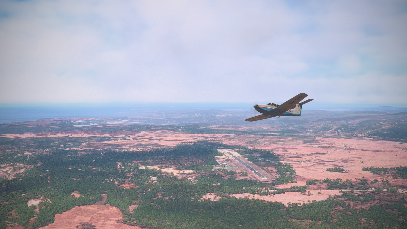
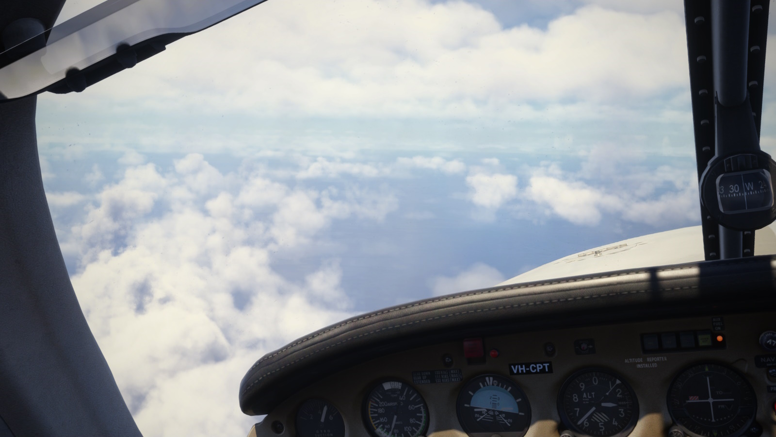
<i><center>I departed DC Saudale (WATR) turning west toward waypoint PALRA. The turbo Piper certainly has some go for a little piston single.</i></center>
In case anyone is wondering, my departure airport is named for a local independence fighter and first "governor" of the province and founder of the airport in 1969. I cannot find any more details because Google just tries to sell me flights and hotel rooms now.
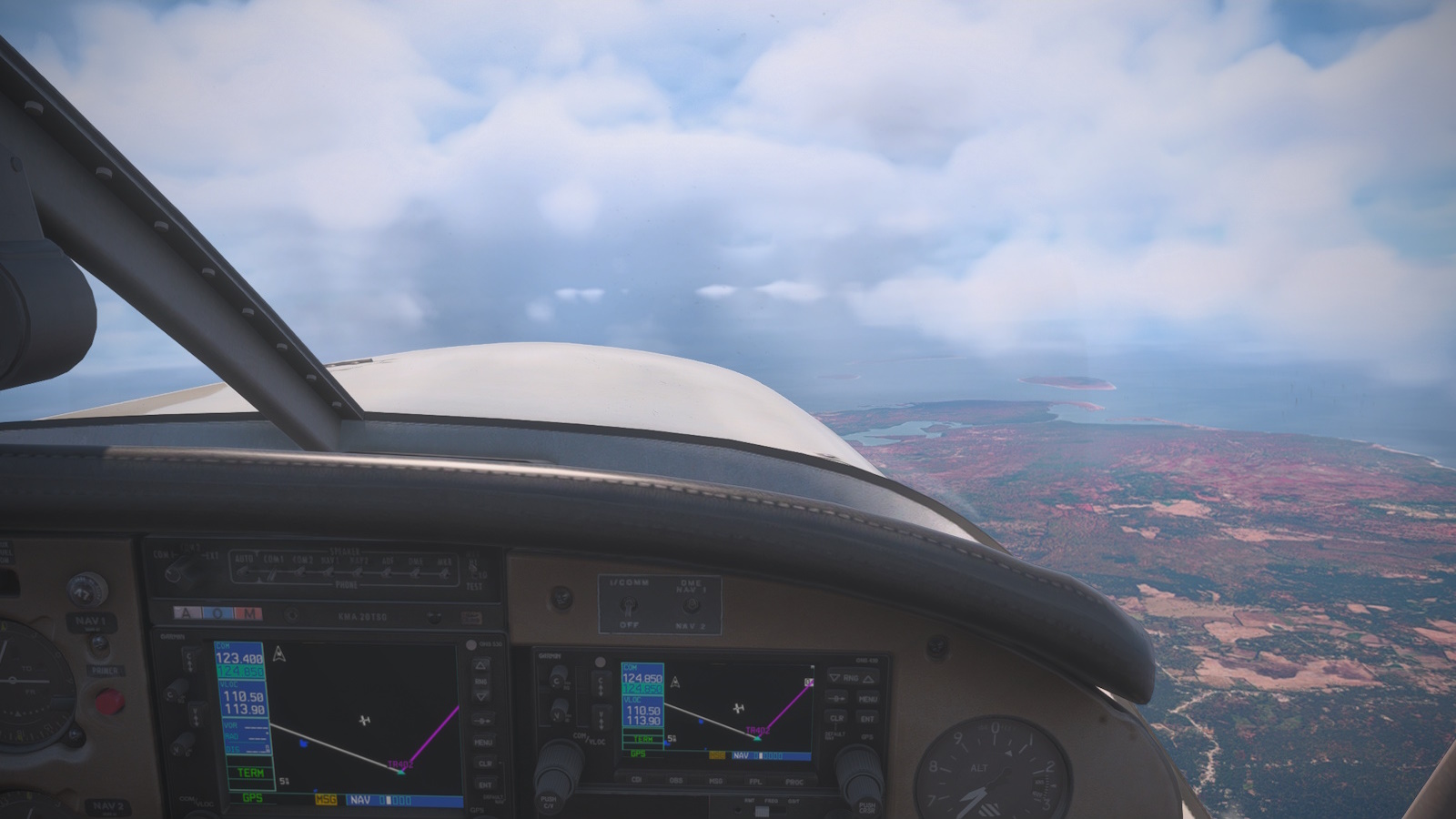
<i><center>Heading west to pick up my GPS track the weather ahead looked nasty. I turned right toward Sabu Island.</i></center>
Initially I was concerned about the weather as I took off heading directly for a rain storm. I avoided that by cutting the corner of my GPS track to pick up my second leg. It left me a little worried as I expect storms to build up toward the of the day, but I found clear air between the cloud layers at 11,000 ft for this leg.
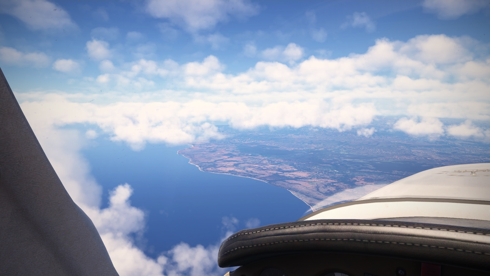
<i><center>Approaching Sumba Island and expecting some turbulence over the land looking at those clouds.</i></center>
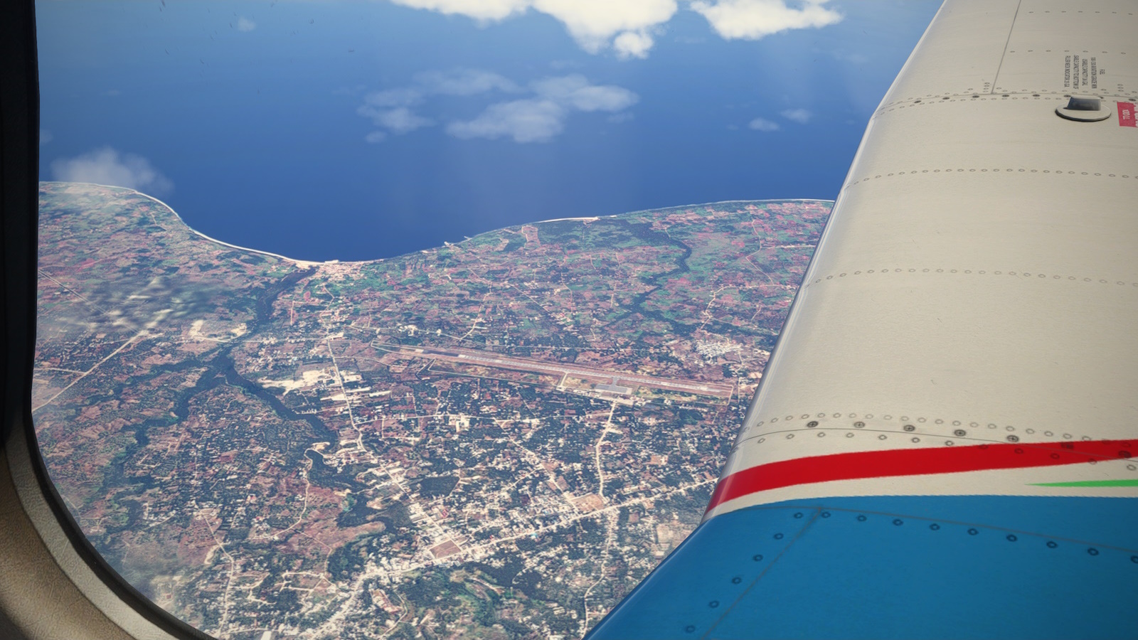
<i><center>Passing Tambolaka, the regional captial</i></center>
<i><center>At KELLO I turned slightly west toward Lombok and Bali. The cloud is building but I have a nice gap.</i></center>
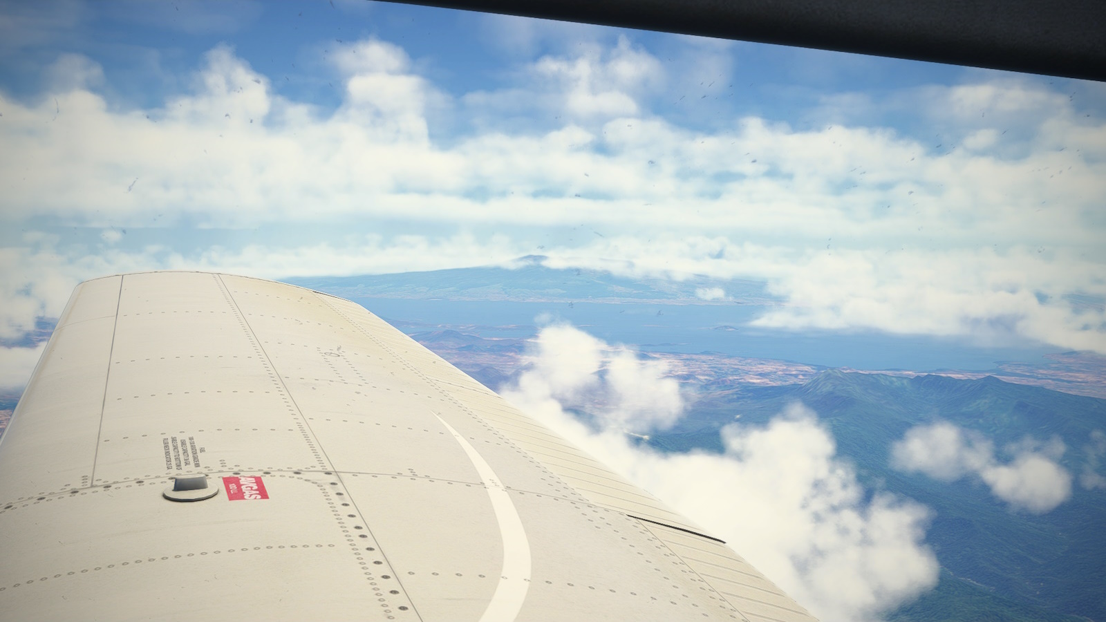
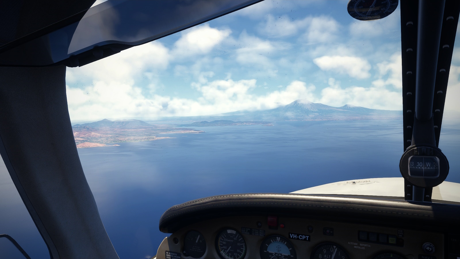
<i><center>Welcome to the Ring of Fire! Peaking through the cloud of my starboard wing it Mt Tambora. Its eruption in 1815 was the biggest of the modern era. It was responsible for the "year without summer" in Europe which killed an estimated 90,000 and inspired Mary Shelley's Frankenstein.</i></center>
Turning east, I could a glimpse of Mt Tambora in the distance. The eruption of Tambora in 1815 was the biggest recorded. It blew an estimated 10 billion tonnes of ash, rock and dust into the atmosphere and knock 5,000ft of the height of the mountain. The resulting ash cloud went around the world and cause "<u>the year without a summer</u>", which gave us Frankenstein, the 1816/17 food riots and 90,000 deaths. Don't ever say "its a long way away, it won't affect me".
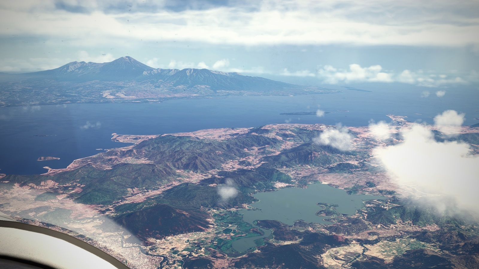
<i><center>Lebo Taliwang in the foreground and in the distance the island of Lombok and Mt Rinjani, another active volcano.</i></center>
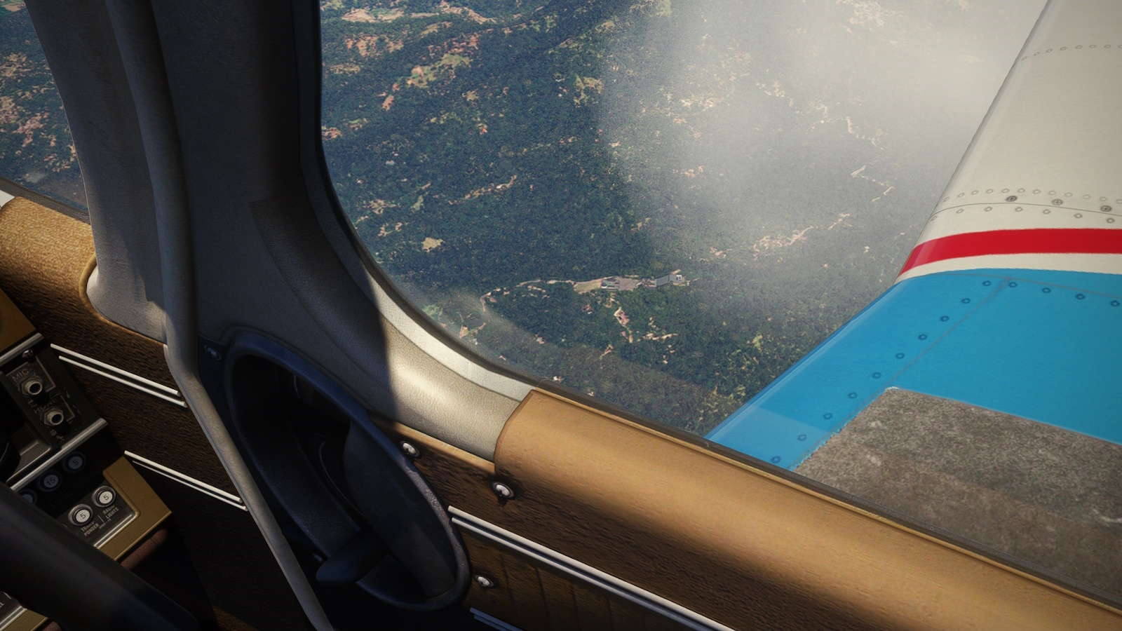
<i><center>Crossing the coastline of Bali, I began my descent. I passed the Lempuyand Temple, you can just about make out the "Gates of Heaven" from 3,000ft AGL.</i></center>
I passed Komodo Island (of dragon fame), Subawaya and Lombok. Reaching Bali, I started my descent and spotted my first sight seeing location: the Lempyang Temple some 4,000 ft up the westrnern slope of Mount Lempuyang. I was also hoping to see the temple complex at Bedugal but the weather didn't want to play. So I circled north west around Mt Pohen and headed toward my destination: Letkol Wisnu Airstrip (WADE) at the far end of the island.
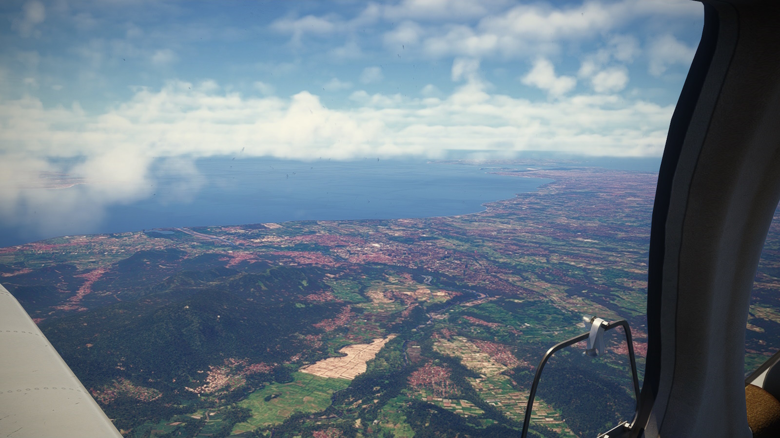
<i><center>A view south of Padangbai, Semarapura and Denpasar. Pity the weather over Bedugul and the mountains isn't as nice.</i></center>
<i><center>Weather on the north side was glorious. I sighted by destination, Letkol Wisnu Airstrip (WADE) on the near shore of the second bay. There is a small island in the middle distance I use to judge my approach.</i></center>
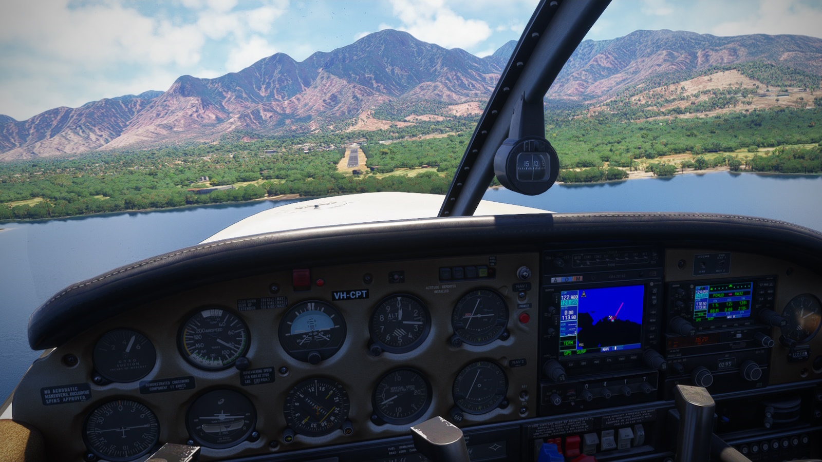
<i><center>Final for Rwy 14 at WADE.</i></center>
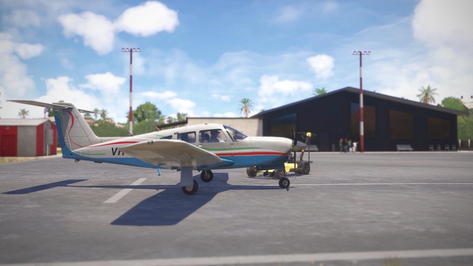
<i><center>Parked up at Letkol Wisnu Airstrip (WADE) after four and a half hours in the air and looking for ride into town.</i></center>
As you can see from the pics, the weather on this side was perfect. I made a left hand circle over the bay for an uneventful landing.
Previous installment <u>GA Highway to Europe Project Leg 1</u>
Next installment <u>GA Highway to Europe Project Leg 3</u>
The start: GA Highway to Europe Project Prologue