
Description
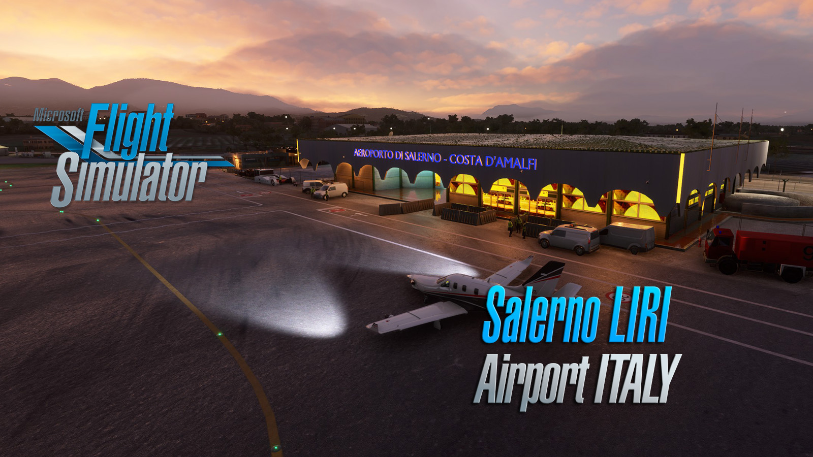
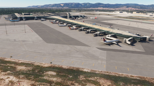
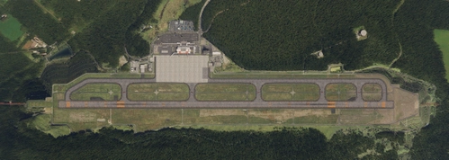
Salerno Costa d'Amalfi Airport v1.6
by Sergio Del Rosso
sdr.cell@gmail.com
every donation is appreciated and allows me to continue producing other works.
Make a DONATION
WHATS NEW in 1.6
Extended Runway to 1962mt
start point RWY 05 2160 mt
start point RWY 23 2022 mt
Change RWY elevation to 120' (23) and 74' (05)
Change PAPI 05 to 3°
Change PAPI 23 to 3.75°
Added new taxiway in according with photo seen in last days
Change parking position in according with last navigraph CHART
other lit tle things
WHAT'S NEWS in 1.5
+fix runway direction
+fix runway slope
+add Buccino Castle model and POI
+add Buccino airstip
WHAT'S NEWS in 1.4
+model new apron
+model Enel building near apron
+model new parking area
+add traffic sign on ground
+fix some height problem
whats news in 1.3
+fixed greenhouse zone
+remove autogen building zone
+create more detail texture
The Salerno Costa d'Amalfi Airport (IATA: QSR, ICAO: LIRI), located in the municipality of Pontecagnano Faiano and close to Bellizzi, is an airport in southern Italy, near to Salerno and the west coastal areas of Amalfi to the north and Cilento to the south.
It is also commonly known as Salerno-Pontecagnano Airport.
LIRI | Salerno Costa d'Amalfi Airport v1.6 (Italy)
Discover the enhanced version of Salerno Costa dAmalfi Airport in Italy with v1.6 by Sergio Del Rosso. Experience an extended runway, adjusted runway elevations, new taxiways, and updated parking positions, among other improvements. Explore this airport, also known as Salerno-Pontecagnano Airport, situated near the beautiful coastal areas of Amalfi and Cilento in southern Italy.


User Reviews
21 reviews
Version History
Extended Runway to 1962mt start point RWY 05 2160 mt start point RWY 23 2022 mt Change RWY elevation to 120' (23) and 74' (05) Change PAPI 05 to 3° Change PAPI 23 to 3.75° Added new taxiway in according with photo seen in last days Change parking position in according with last navigraph CHART other little things
Featured in Collections(2)
Related
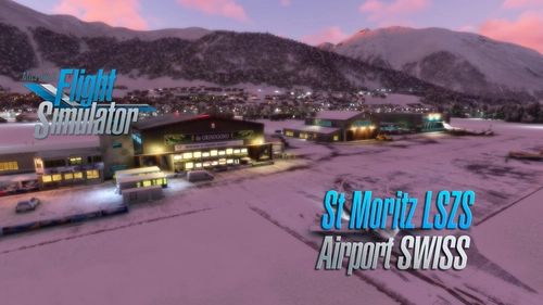
Saint Moritz - Samedan Airport LSZS (Swiss) v2.5
Explore the updated version 2.5 of Saint Moritz - Samedan Airport LSZS by Sergio Del Rosso, featuring various improvements such as windsock fixes and removal of glider cover. Located in the stunning Engadin valley of Switzerland, this regional airport presents a challenging experience due to its difficult topography and thin air at high altitude. With its one runway and lack of scheduled passenger flights, the airport primarily accommodates general aviation traffic including private jets and propeller aircraft.
by Sergio Del Rosso
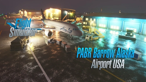
Barrow Utqiagvik Wiley Post-Will Rogers Memorial Airport (USA Alaska)
Explore the Barrow Utqiagvik Wiley Post-Will Rogers Memorial Airport in Alaska with this v1.5 scenery by Sergio Del Rosso. This detailed add-on features updated airport buildings, a static helicopter model, improved city streets visibility in snow, and realistic snow heaps near the runway and taxiways. Experience the northernmost airport in the US, named after legends Will Rogers and Wiley Post, with this comprehensive update.
by Sergio Del Rosso
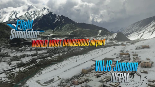
Jomsom Airport VNJS (Nepal) V1.4
Experience the unique Jomsom Airport (VNJS) in Nepal with this scenic add-on by Sergio Del Rosso. Explore Mustang District and its popular pilgrimage destinations, while navigating the challenging high terrain and weather conditions of the region.
by Sergio Del Rosso
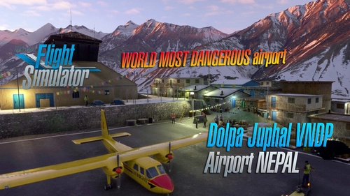
Dolpa Juphal Airport VNDP (Nepal) V1.4
Experience the beauty of Dolpa Juphal Airport in Nepal with this add-on by Sergio Del Rosso. Enhancements include revamped textures, new buildings, and a detailed village area. Explore the only airport serving Dolpa District at an elevation of 8,200 feet above sea level with a blacktopped runway.
by Sergio Del Rosso
Log in to join the discussion
Log InComments(50)
about 1 month ago
over 1 year ago
over 1 year ago
over 1 year ago
over 1 year ago
almost 2 years ago
almost 2 years ago
almost 2 years ago
about 2 years ago
about 2 years ago
about 2 years ago
about 2 years ago
about 2 years ago
about 2 years ago
about 2 years ago
about 2 years ago
about 2 years ago
over 2 years ago
over 2 years ago
Aeroporto molto bello! Mi è piaciuto far atterrare il mio DC-6 lì.
over 2 years ago