Specially for VFR flying Netherlands.
Zwolle Landmarks.
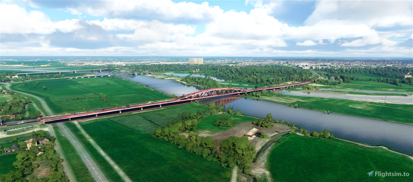
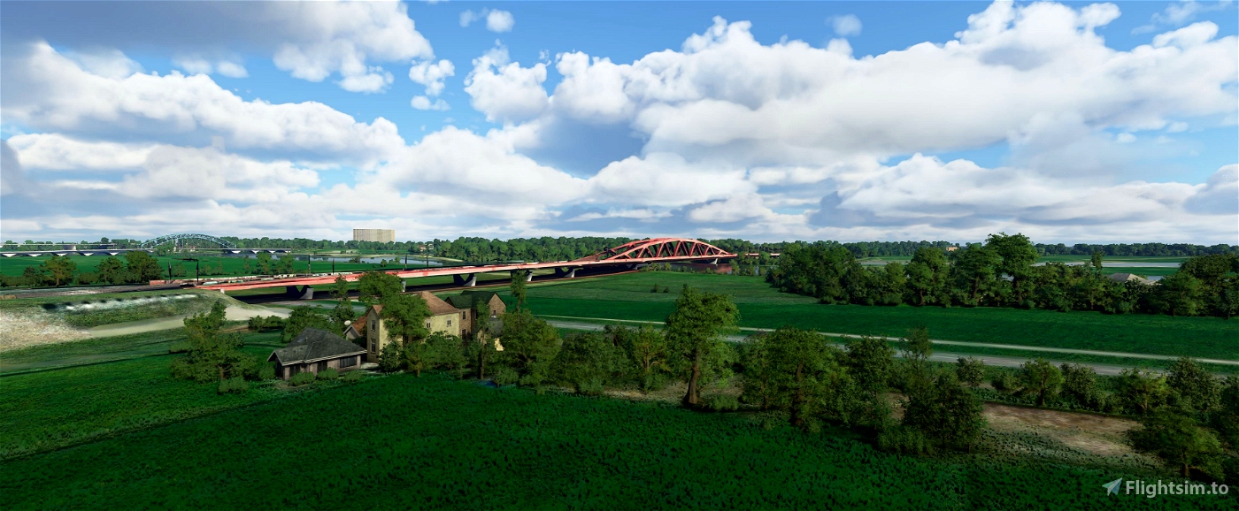
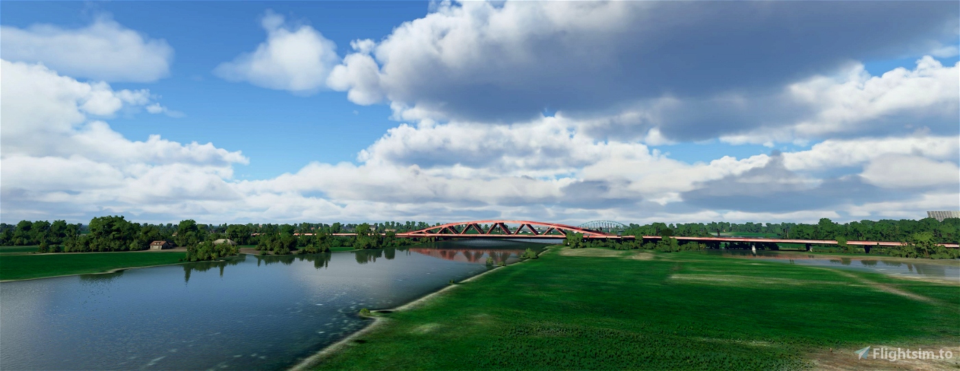
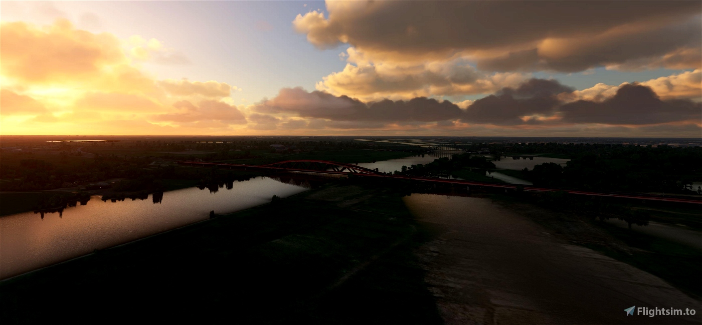
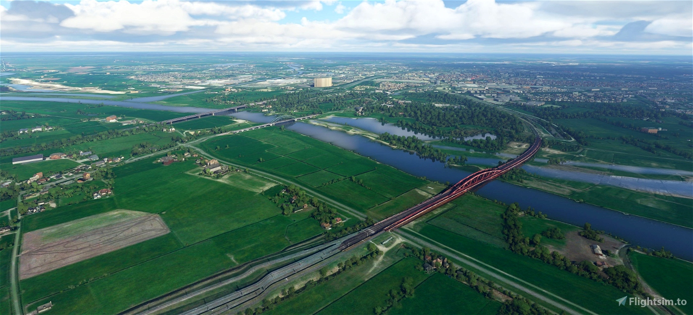
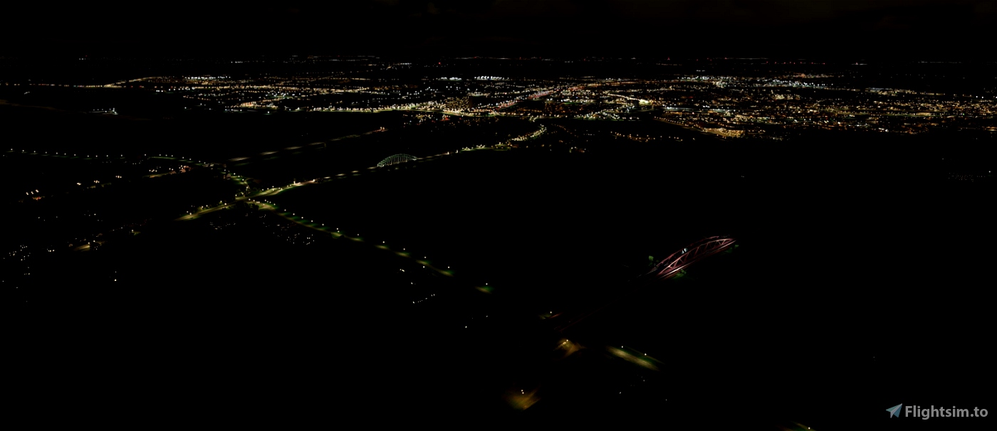
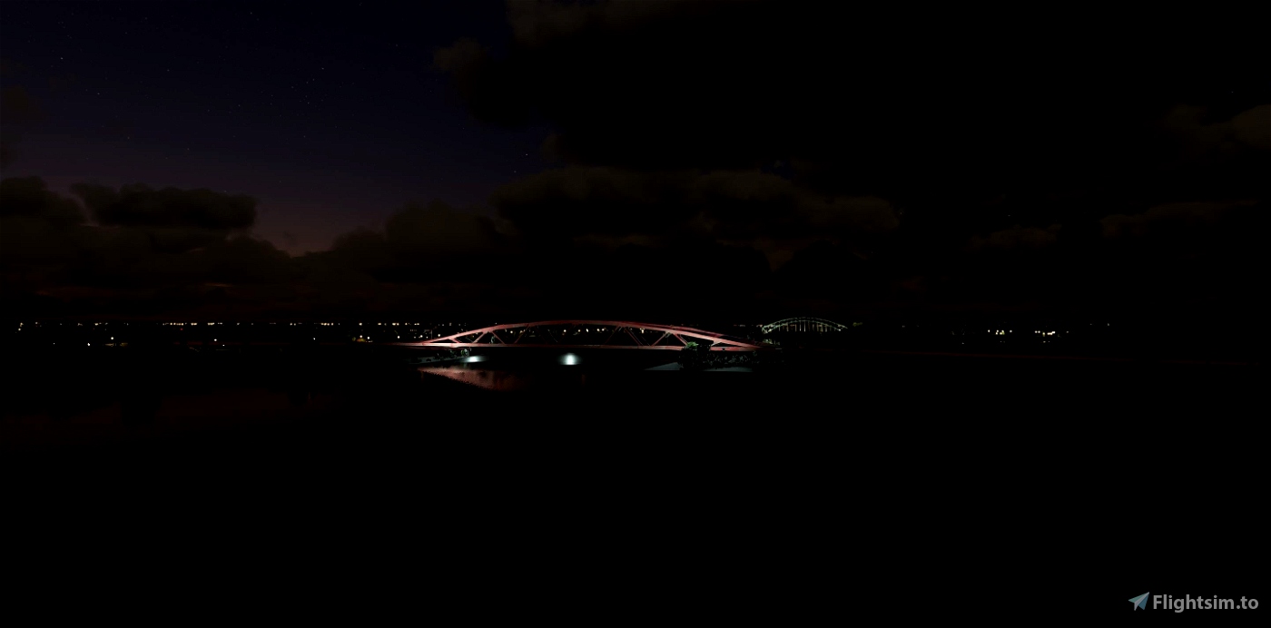
Hanzeboog
The Hanzeboog is a railway bridge near Zwolle over the river IJssel and is part of the Utrecht - Kampen and Lelystad - Zwolle railway line. The bridge was opened in June 2011.
Due to the construction of the Hanze line, a new river crossing was needed to replace the old bridge. After a long discussion, a new bridge was chosen instead of a tunnel. The new railway bridge is located at Rhine height, making it easier for shipping to pass and eliminating the need for a movable section. The design is by Quist Wintermans Architekten.
The new bridge is located a few tens of meters upstream from the old one and consists of a double track and a cycle path. The railway bridge, which has been given the name Hanzeboog, [1] has a length of 1 kilometer and rests on 18 concrete pillars, which gives the water more space at high water levels.
In the weekend of 1 and 2 May 2010, the main span was lifted into place. The bridge was put into use during the Easter weekend of 2011 in the direction Amersfoort - Zwolle. During the following Whitsun weekend, the track for the direction Zwolle - Amersfoort was connected, with which the new bridge was fully put into use from 14 June 2011. [2]
On June 10, 2011, the last train passed over the old bridge, with the overhead wires being removed in the following weeks. The demolition of the bridge started on September 12, whereby the pillar on the Hattem side, the lifting wheels of the bridge dating from 1936 and part of the route with underpass on the Zwolle side (with a memorial stone from 1905) were preserved as a monument. [3] [4]
The still present 'first stone', laid on October 7, 1862 by the Zwolle-born minister Thorbecke, was removed from the abutment to be demolished and walled into the pillar. [5] The restored plaque was unveiled exactly 150 years later, on October 7, 2012. A small part of the old railway embankment is still there. The municipality of Zwolle has created a picnic area on the old railway embankment, which also has a piece of track, including rails.
(source Wikipedia)
-----------------------------------------------------------
File credits
This free creation contains content from Google Maps or Google Earth. In accordance with Google Terms of Services and especially point 2.2 of Google Maps/Google Earth Additional Terms of Service, this creation is based on « fair use » or « fair dealing » of the data provided by google throught its services. No commercial use or any gain is or will ever be made by the author of this creation, who doesn’t own anything regarding google assets but a simple user Licence. According to the following document https://www.google.com/intl/en-GB/permissions/geoguidelines/, the author is freely sharing a creative application of Google Maps or Google Earth. The author will not recieve any form of retribution for sharing his work, even general donations from users of file hosting web services under the form of « rewards » or « tips ». If this content would be found somewhere where it is provided in exchange of money or any kind of retribution, I wouldn’t be with the consent of the author who will stick to strict free content creation diffusion.
Part of this content including 3d data and textures is copyrighted by
Imagery ©2020 Google, Imagery ©2020 CNES/ Airbus, Maxar Technologies,
USDA Farm Service Agency, Map data ©2020 Google.

 Geraldar98


4 years ago
simbanl