Specially for VFR flying Netherlands.
Utrecht Landmarks.
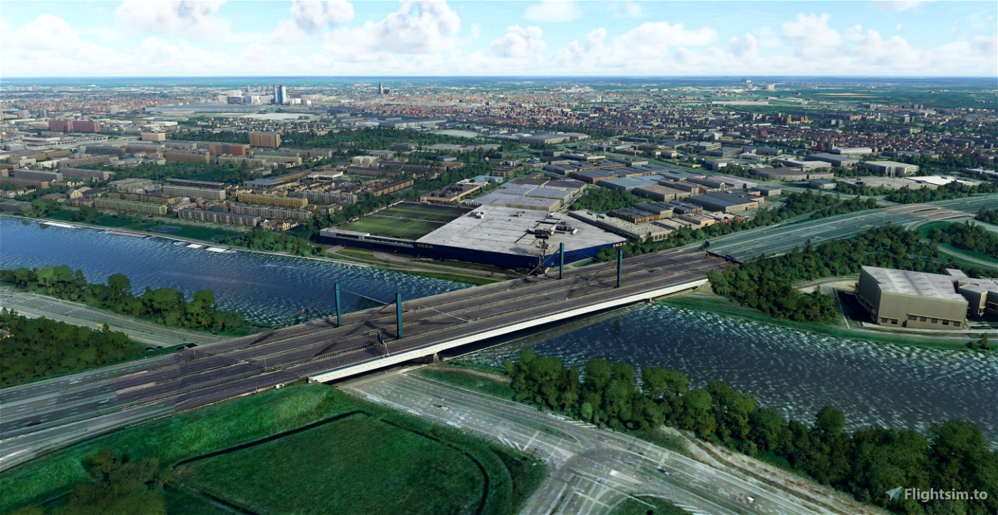
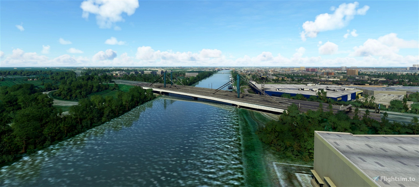
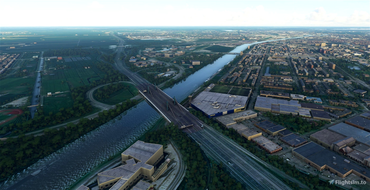
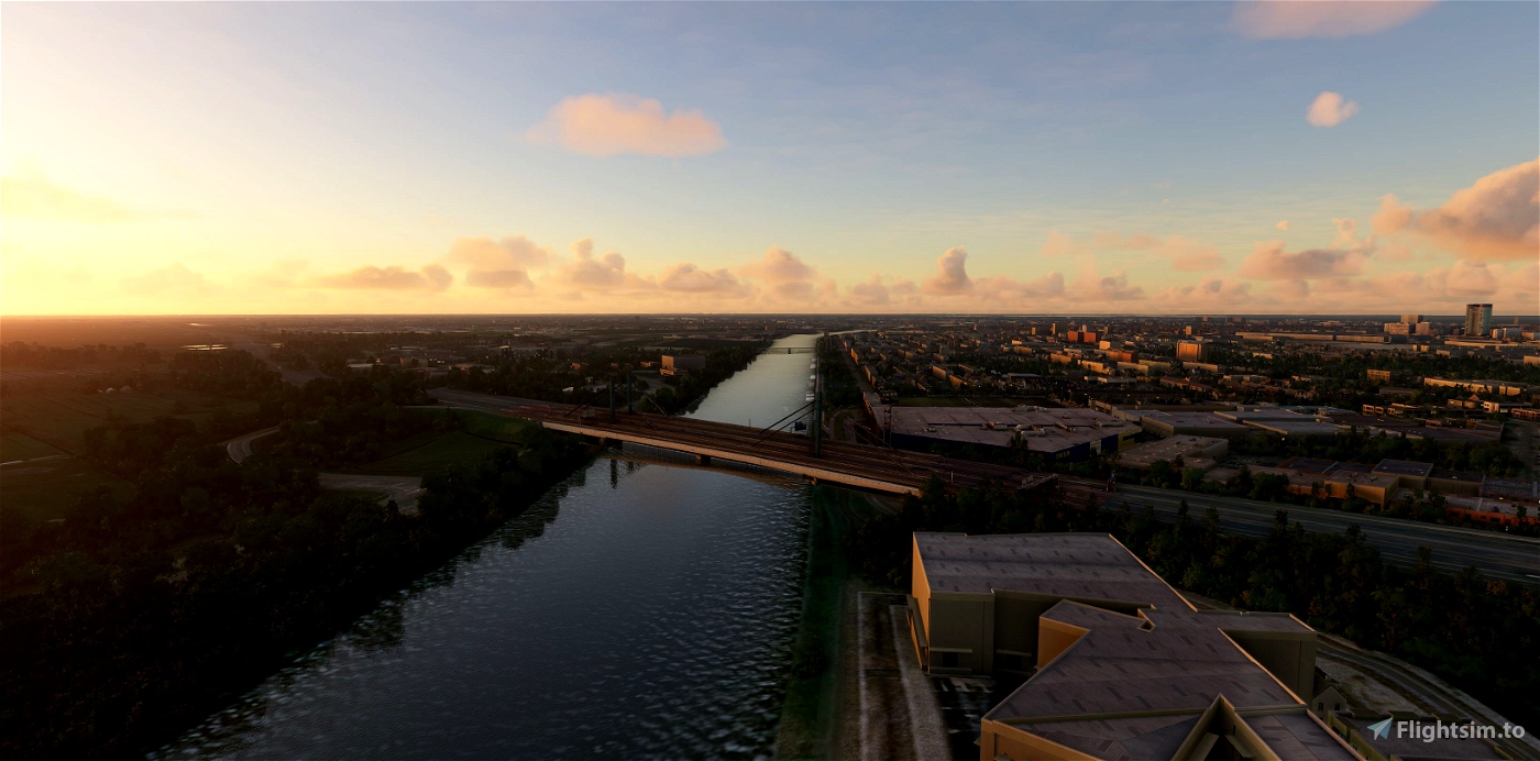
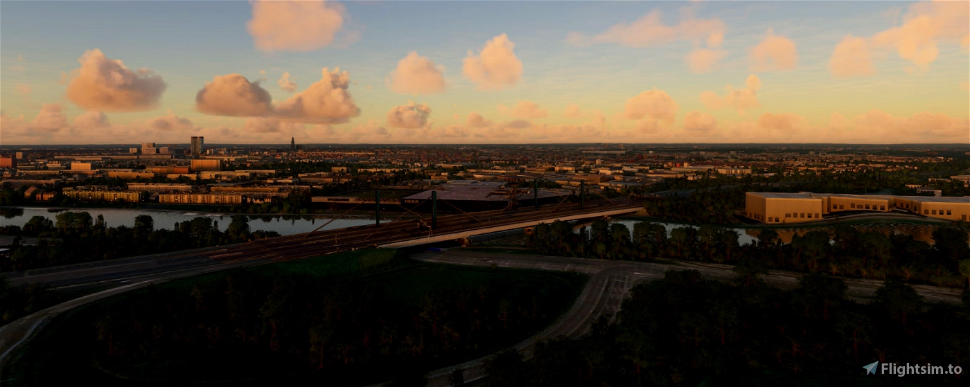
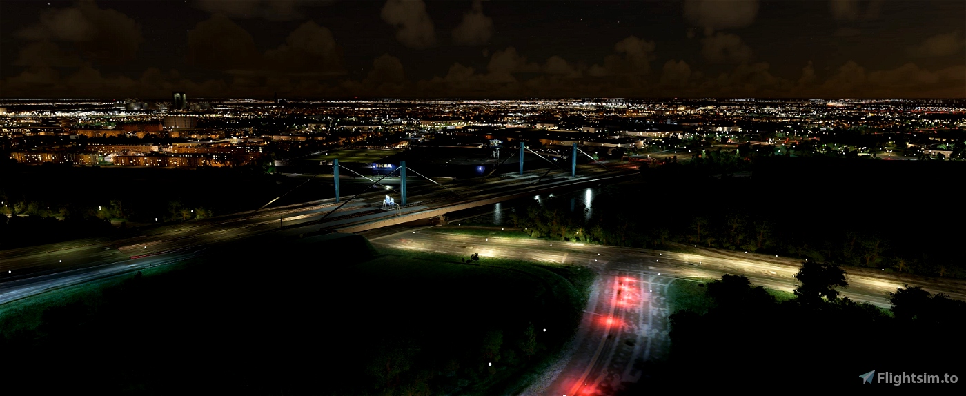
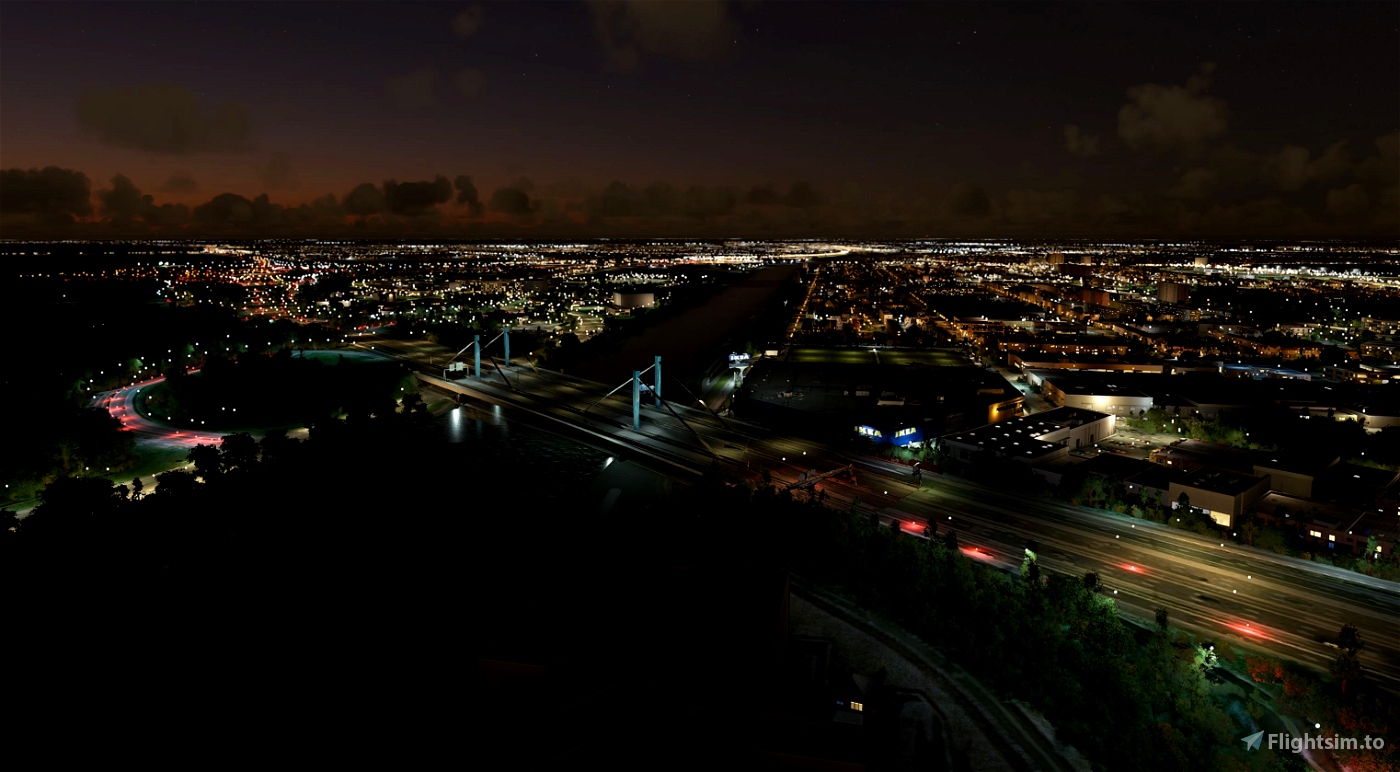
Galecopperbrug
The Galecopper Bridge is a steel cable-stayed bridge over the Amsterdam-Rhine Canal near the city of Utrecht. The bridge actually consists of two parts, the first part of which was opened in 1971 and the second part in 1976. The bridge functions as part of the A12 motorway and replaced an arch bridge from 1936. The old bridge was moved about 2 km to the northwest and still spans the same canal like De Meernbrug and now functions as the main approach route to the center of Utrecht.
In 1971 the National Steel Prize was awarded to the Galecopper Bridge. The bridge is 240 meters long with a main span of 180 meters. In fact, they are two bridges that are parallel, but slightly offset from each other because the bridge crosses the canal at an angle. The second half was not built until after the old arch bridge was moved and opened in 1976. [2]
The bridge has a total of 12 lanes: per direction there are two carriageways of 3 lanes each, so this bridge has a significantly greater capacity than its predecessor, which had two lanes per direction.
Maintenance
Maintenance was carried out on the bridge in the period between 2013 and 2015. [3] [4] The carriageways were given a driving deck of reinforced concrete and the bridge was jacked up to give 70 cm more clearance height so that the bridge complies with the 9.10 meter Rhine vertical clearance. [5] During the renovation, the expansion joints, the steel connections between the bridge and the road surface, came under extra pressure. Replacement of these joints began in September 2019.
(source Wikipedia)
-----------------------------------------------------------
File credits
This free creation contains content from Google Maps or Google Earth. In accordance with Google Terms of Services and especially point 2.2 of Google Maps/Google Earth Additional Terms of Service, this creation is based on « fair use » or « fair dealing » of the data provided by google throught its services. No commercial use or any gain is or will ever be made by the author of this creation, who doesn’t own anything regarding google assets but a simple user Licence. According to the following document https://www.google.com/intl/en-GB/permissions/geoguidelines/, the author is freely sharing a creative application of Google Maps or Google Earth. The author will not recieve any form of retribution for sharing his work, even general donations from users of file hosting web services under the form of « rewards » or « tips ». If this content would be found somewhere where it is provided in exchange of money or any kind of retribution, I wouldn’t be with the consent of the author who will stick to strict free content creation diffusion.
Part of this content including 3d data and textures is copyrighted by
Imagery ©2020 Google, Imagery ©2020 CNES/ Airbus, Maxar Technologies,
USDA Farm Service Agency, Map data ©2020 Google.

 Geraldar98


Ga je deze nog updaten?
2 years ago
MissyIdiot
3 years ago
MissyIdiot
4 years ago
hrvogelsa
4 years ago
victoroos
Galgenwaard is on its way , Simba
4 years ago
Spook48
4 years ago
4 years ago
Geraldar98
ProlandsAscot
4 years ago
simbanl
Because they don”t have an impact on the FPS at all, while landmarks from some other people are causing severe stutters, even from a great distance...
4 years ago
4 years ago
Geraldar98
jpht64
4 years ago
Flyingdutchie