
Description
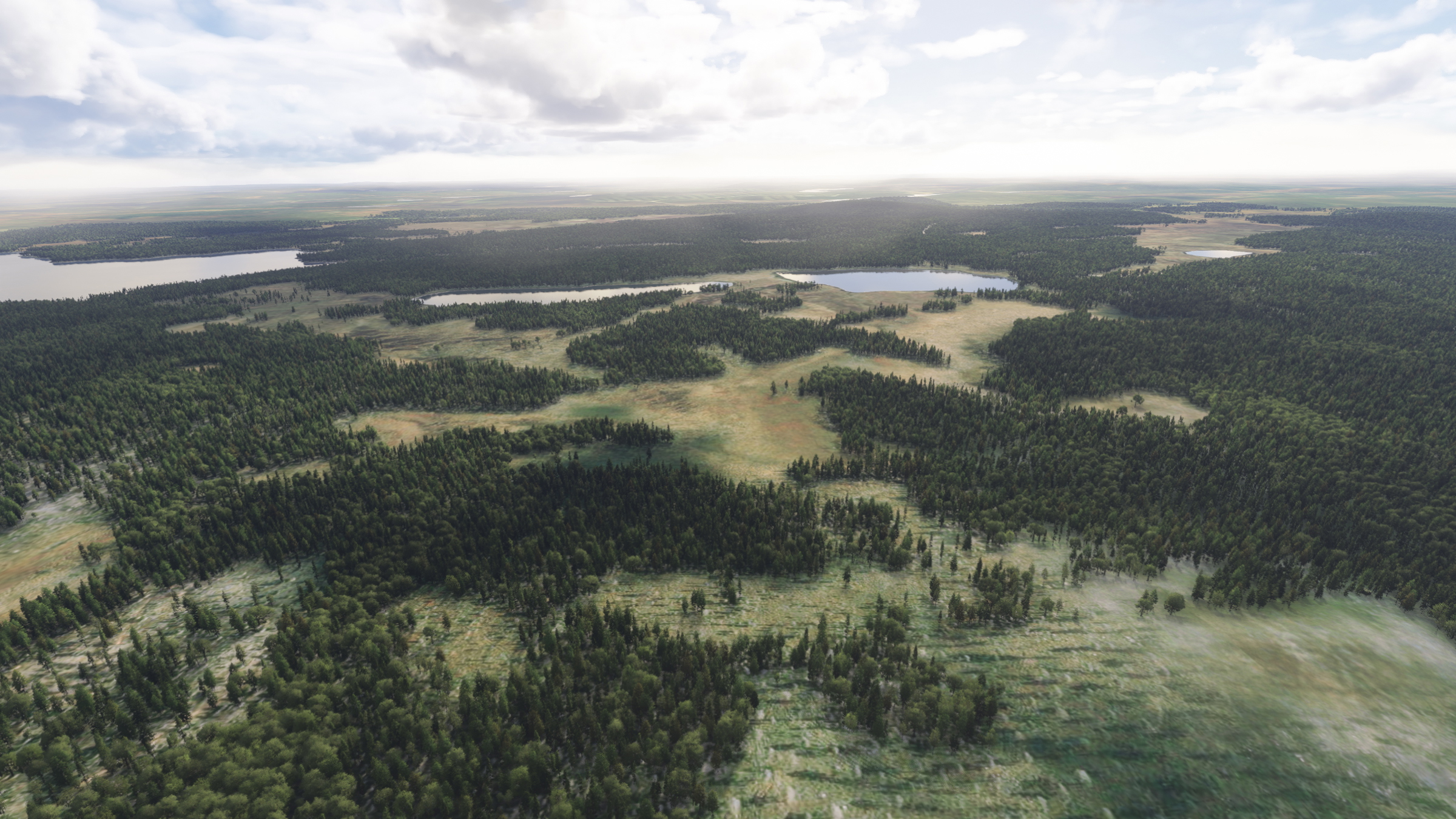
Despite the name FinnForest this addon removes trees from areas that should not have forest. Similar to the EcoRegions scenery for MSFS2020. There is also some variation between forests in south and north Finland as well as mixed, conifer and deciduous forests in their correct places. But the forests are using default biomes, which means the tree species are not accurate everywhere.
MSFS roads are lighted everywhere which is not realistic in Finland. So this addon removes lights from the roads that should not have any.
Stones are added to the places where they are marked in maps.
INSTALLATION
Just drop the finn-forest folder to your Community folder.
Source for this scenery is the free data from National survey of Finland
Blends perfectly with equivalent scenery of Norway, NorForest
Copyright Tatu Kantomaa 2025
Location
FinnForest
FinnForest is an add-on for Microsoft Flight Simulator that modifies the landscape of Finland by accurately adjusting tree placements and removing forest from areas where it shouldnt exist. This includes implementing variations between northern and southern Finnish forests while correcting the default biome inaccuracies. Additionally, the add-on removes unnecessary road lighting for a more realistic environment and adds stones to locations identified on Finnish maps.
Downloads Stopped
The creator has temporarily stopped downloads for this addon. Please check back later.


User Reviews
2 reviews
Version History
* Airport areas should not have any rocks anymore * Some Biome changes to represnt the area more correctly * Experimenting with some falloff distances in treelines.
Related
Feather River Canyon (USA/CA)
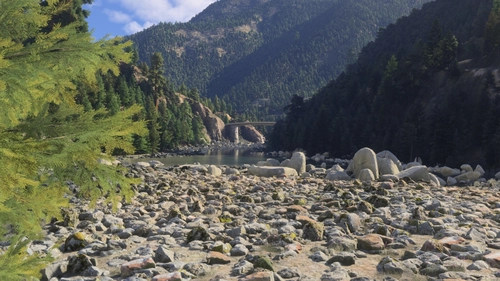
Enhance your Microsoft Flight Simulator experience with the Feather River Canyon add-on, offering a detailed scenery update along Californias Feather River. Spanning over 90 miles, this add-on improves visuals from Oroville Dam to Butt Valley Reservoir, featuring various natural and manmade structures such as boulders, dams, bridges, and railroad tunnels. Designed for low-level flying, it incorporates elements inspired by the California Zephyr railway and focuses on creating an immersive flying environment.
by Boulder
London Scenery Fix + London City Airport Water Fix
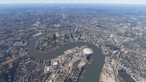
This add-on enhances the visual quality of London City Airport (EGLC) and the Thames River, providing an improved water texture and atmosphere. It aims to create a more realistic and immersive experience for pilots navigating the iconic London skyline and its waterfront areas. The mod is designed to elevate the scenery of the capitals docklands, enriching the overall flight simulation experience.
by MrAviatorPilot
Upper Sacramento River / Lake Shasta (USA/CA)
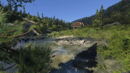
This add-on enhances the scenery of the Upper Sacramento River in California, from Dunsmuir to Box Canyon Dam. It addresses terrain inaccuracies, correcting the rivers elevation and water mask issues while introducing additional details like rocks, railroad bridges, and lighting near Dunsmuir Railroad yards. Compatibility with updated Bing maps is intended for improved visual fidelity.
by Boulder
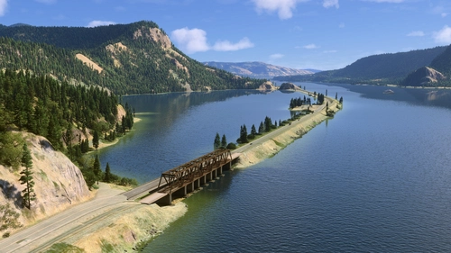
Columbia River (USA/Washington)
This add-on modifies the Columbia River segment from Grand Coulee to Portland in Washington, USA, by enhancing the water masking and adding detailed river banks. It includes new points of interest with nameplates and bridges, alongside fixes for terraforming issues around dams, particularly addressing height inaccuracies at Grand Coulee Dam. Required object libraries are specified for full functionality.
by Boulder
Log in to join the discussion
Log InComments(14)
3 months ago
The difference is remarkable. Flying VFR now feels so much more immersive and realistic. Wetlands are finally recognizable, clear-cut forest areas stand out naturally, the tree line in the mountains is where it should be, and the forests now consist of much more appropriate tree species for each region. All of this gives the Nordic landscape a far more authentic appearance and makes VFR navigation much more enjoyable.
The next thing I'm looking forward to is realistic wind interaction with water surfaces. In real life, as a seaplane pilot, wave patterns are one of the most important clues for determining wind direction. A sheltered shoreline can be almost mirror smooth, while just a short distance out over open water the waves build up noticeably. It's something every seaplane pilot uses instinctively.
I have a feeling that this will eventually find its way into the simulator as well. For me, that will be the next big leap forward for VFR simulation.
Once again, thank you for these outstanding add-ons. They have taken VFR flying in the Nordic countries to a whole new level!
3 months ago
about 1 year ago
about 1 year ago
about 1 year ago
about 1 year ago
about 1 year ago
about 1 year ago
about 1 year ago
about 1 year ago
about 1 year ago
about 1 year ago
about 1 year ago
How much money do i need to offer you to do this for Norway also? (Not meant as a joke, i would pay you for doing it and upload it here)
about 1 year ago