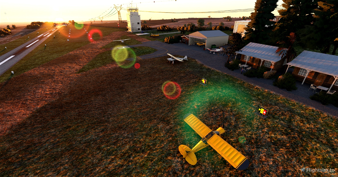
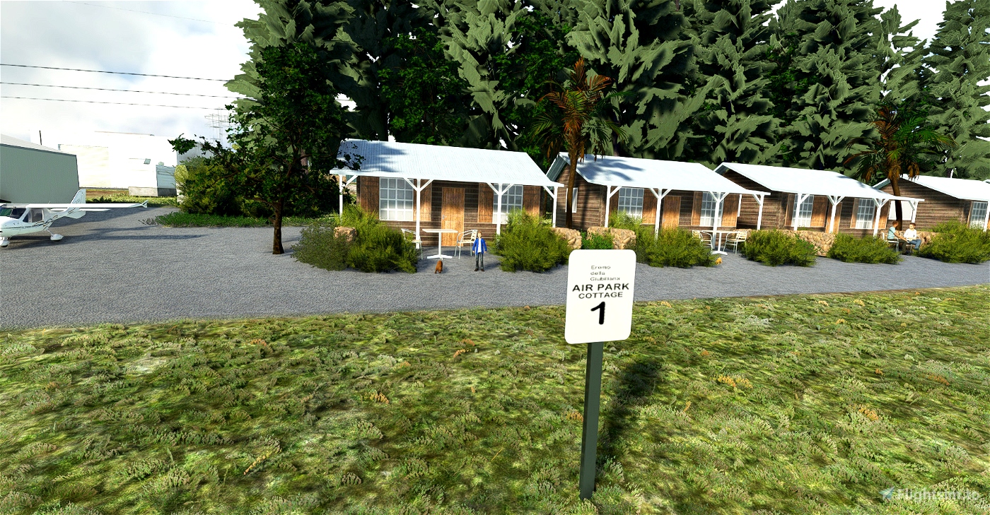
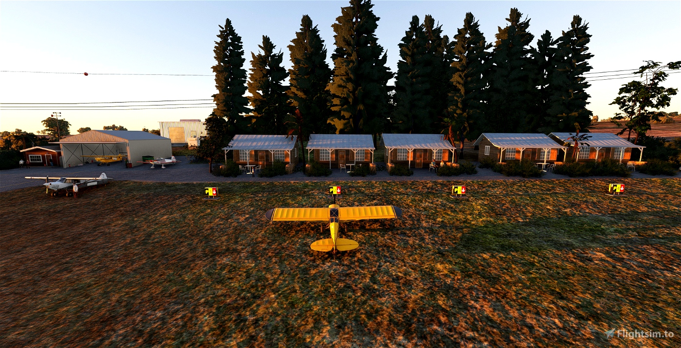
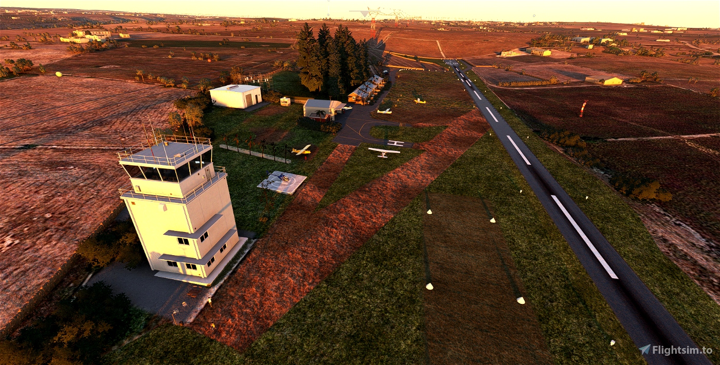

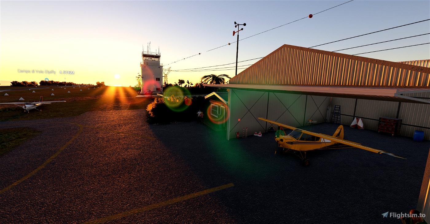
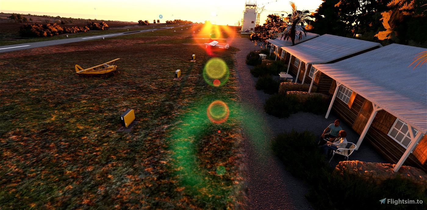


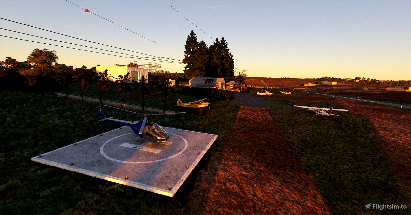


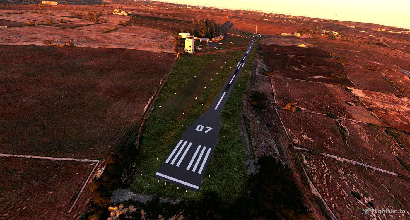

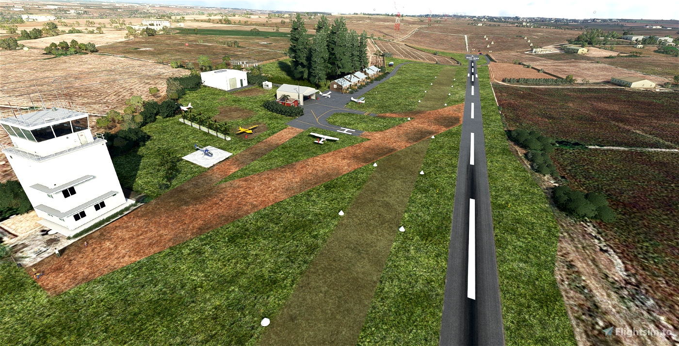
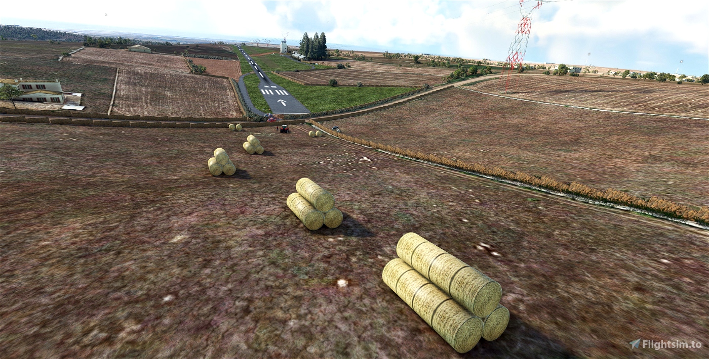
AVIOSUPERFICIE EREMO DELLA GIUBILIANA RAGUSA
ICAO: LIRB
Coordinates 36° 51' 41" Nord - 14° 37' 36" Est
RWY 1: Asphalt 660meters
RWY 2: Grass 480meters
elevation 1404ft
Runway orientation(s) 07/25
I recommend the use of MSFS2020 Map Enhancement: https://it.flightsim.to/file/19345/msfs-2020-google-map-replacement
Download extra libraries
Dependency:
Animated Human 3D Models Library
MSFS 2020 object library 200+ models - towers hangars to cones v14-8 UPDATE
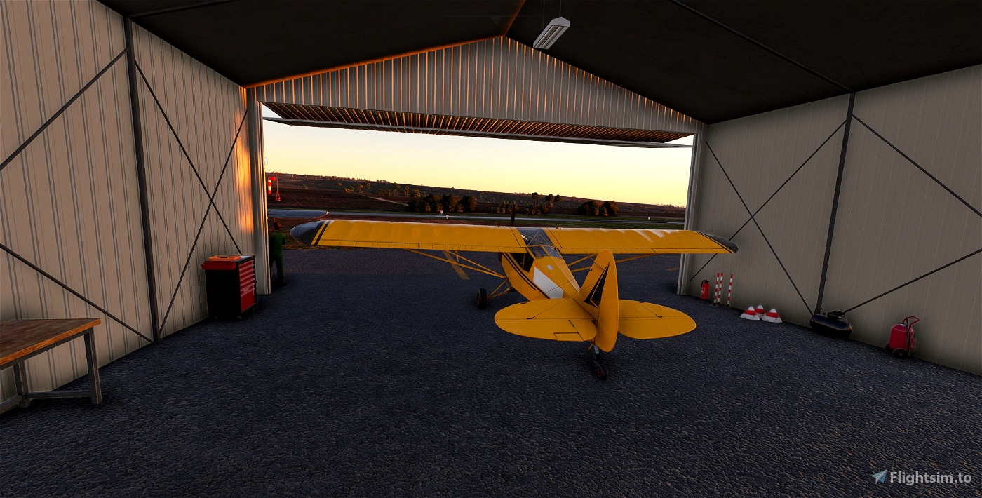
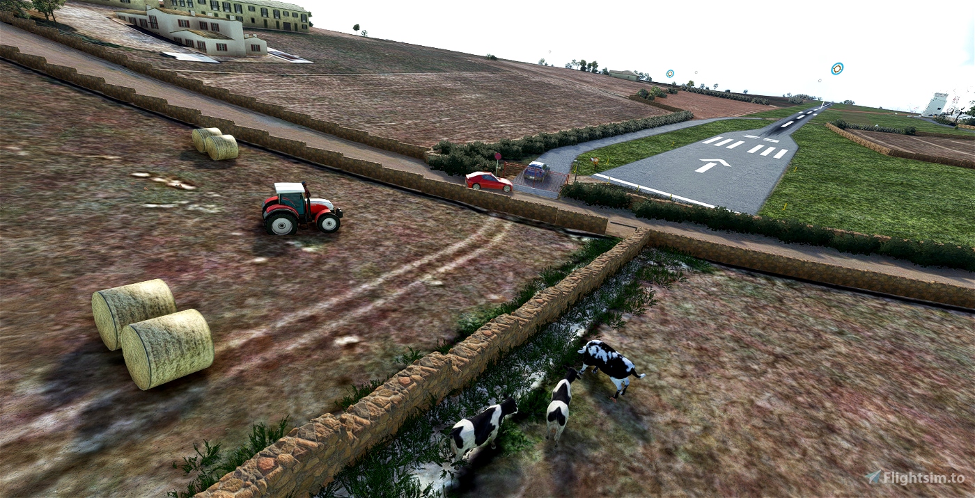
being my first version of the airfield the scenery is to be considered "work in progress"
it only remains for me to wish you good wind!!!
Se vuoi offrirmi un caffè puoi donare tramite paypal a questo link: OFFRIMI UN CAFFE'

 Sidewinder82


3 days ago
Freccia
6 months ago
kelemaco