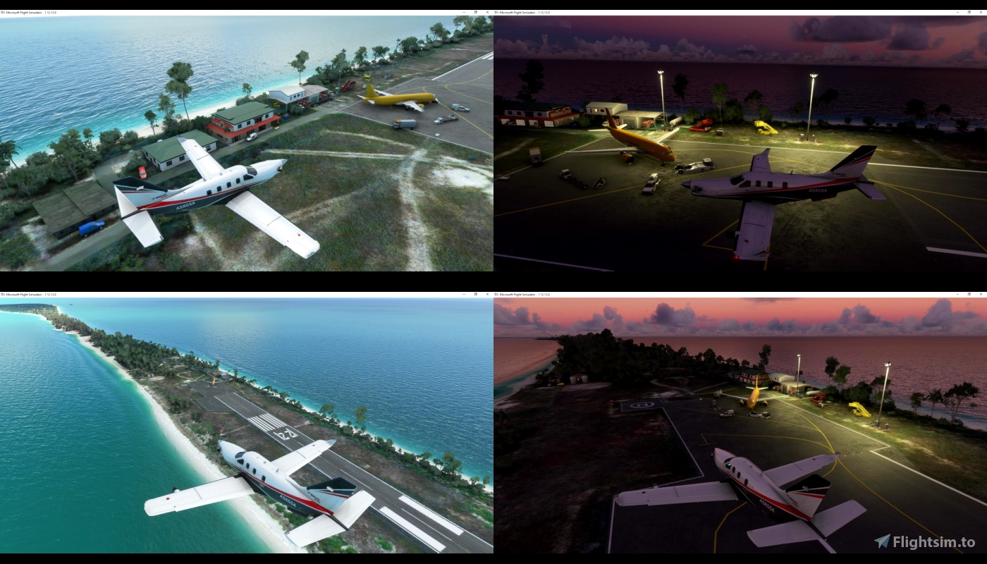
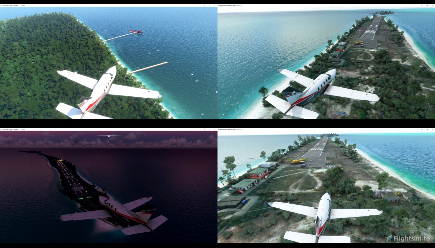
Agatti VOAT airport ,Coordinates: N10°49.45' / E72°10.60' or (10.859608, 72.193545) Elevation is 12.0 feet MSL.
Agatti Island is a 7.6 km long island, situated on a coral atoll called Agatti atoll in the Union Territory of Lakshadweep, India. It is 2,034 km (1,264 mi) south of the city of Delhi and about 459 km (285 mi) west of Kochi.
Its population in the 2011 census was 7,560, and Islam is the main religion of the islanders. Most people speak Malayalam, English and Tamil. Agatti has its own 100 kW powerhouse which uses fuel to generate electricity. There is a desalination unit which provides desalinated water to the islanders.
Agatti is connected to Cochin by sea with ships operating between the two ports and it takes 14–20 hours for the passage by air it takes only 1-2 hours
Tower freq : 122.3
Nearby Navigation Aids VOR and NDB
ID Name Freq Radial / Range
AAT AGATTI 115.90 215° 0.3
ID Name Freq Bearing / Range
AT AGGATI 360 024° 0.3
LD KAVARATHI 380 124° 29.9
asphalt runway, oriented 04/22, 1204 metres long and 30 metres wide
as usual copy "agatti VOAT" folder into "community" folder

 timot75


Airport is really nice! Thanks for making it. However I am facing a double runway problem, can you fix it?
2 years ago
I will check that
thanks for reporting
2 years ago
timot75
iceaxe
https://forums.flightsimulator.com/t/indian-scenery/313270
3 years ago
cstark
[img]https://i.imgur.com/wL3IiNj.png[/img]
3 years ago
CFIJose