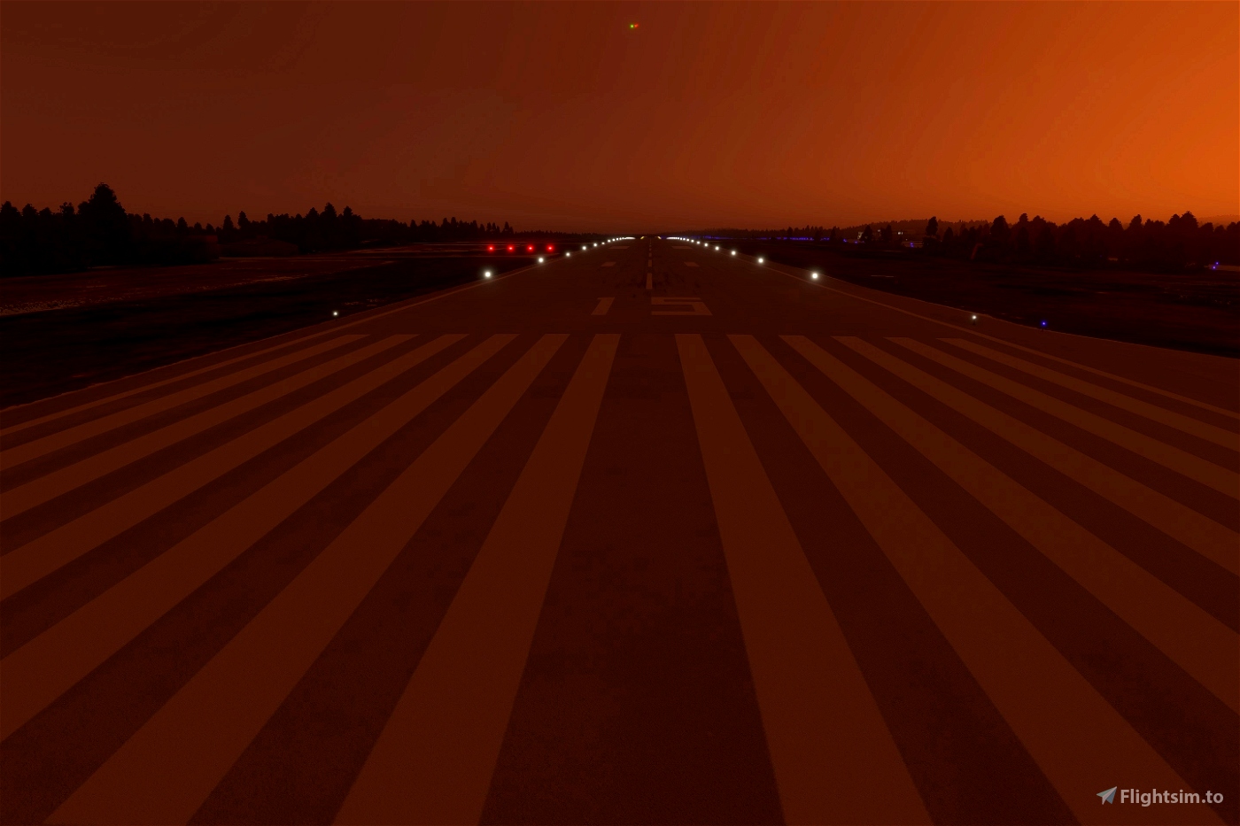


SU7 AP Heightmaps FLATTENS Helsinki Photogrammtry.
Temporary(?) fix: remove "EF_HELSINKI.bgl" and "EFHF.bgl" from folder "morko-dem-finland-heightmap-airports\scenery\heightmaps\finland".
BEFORE UPDATING REMOVE PREVIOUS VERSIONS
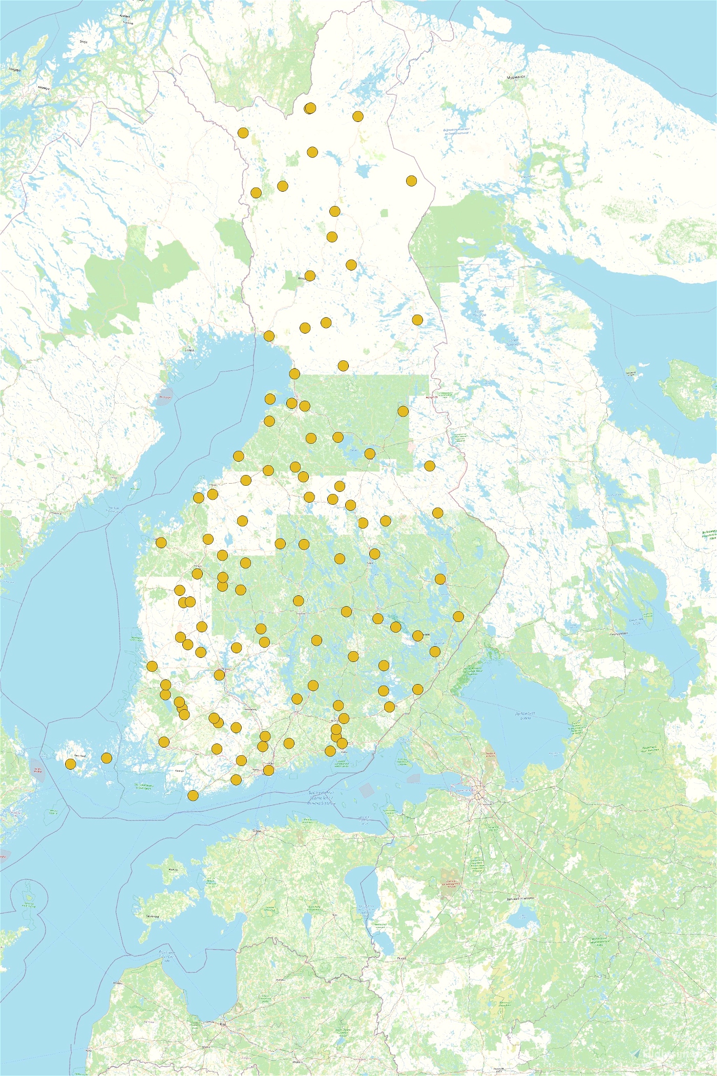
"Main file" contains the heightmaps for airports/flightplaces and POI fixes
"CGL-DEM vXXX Part1" and "CGL-DEM vXXX Part2" contain the "base dem" for whole area. Unless you know you need these, don't download. Base dem will be overridden by online data when close to the terrain because higher detail is available from cloud. In PERFPLUS update asobo update their local cgls, there should be no more bumps -> these do not enhance the scenery.
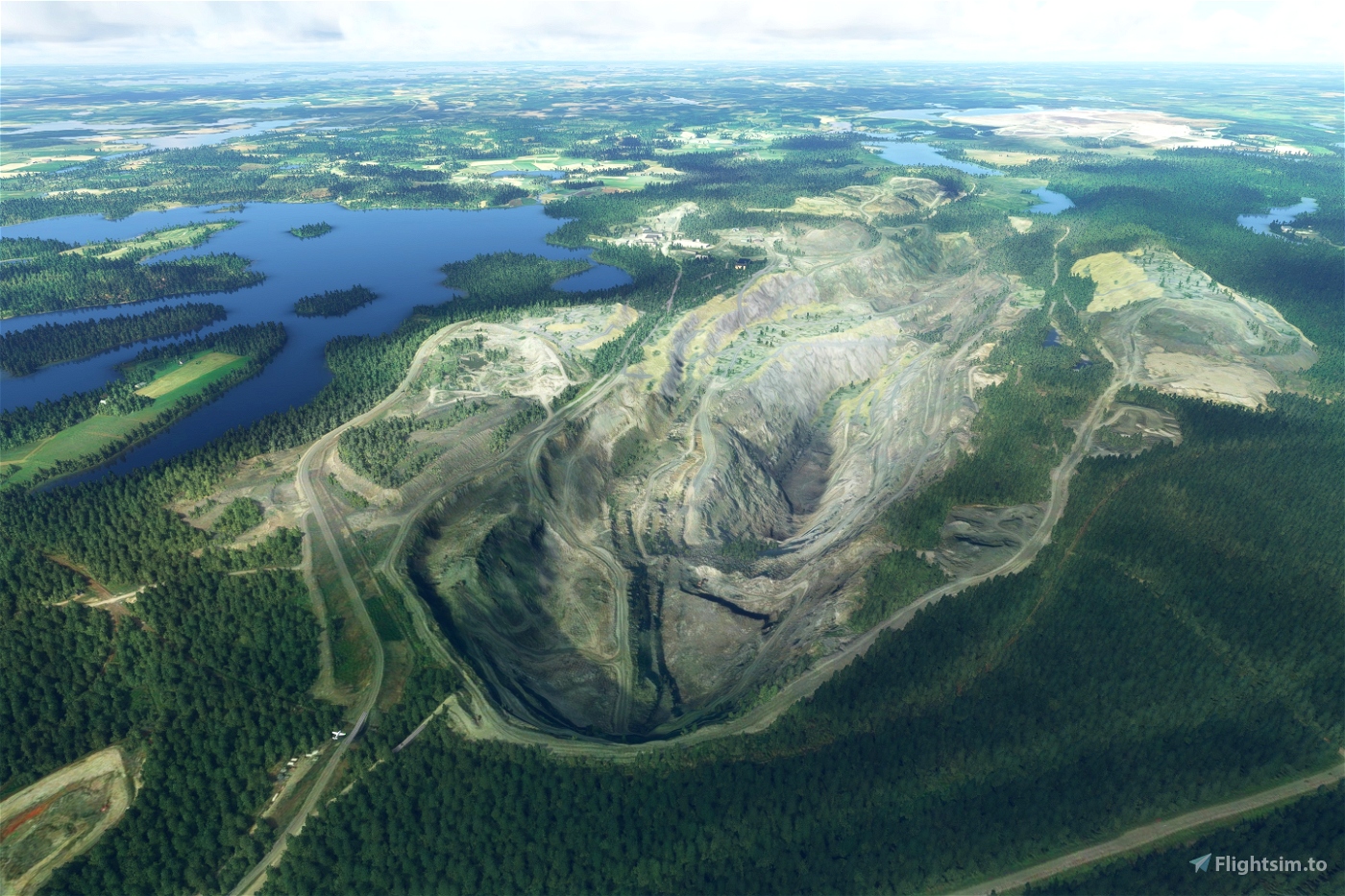
This is based on data from NLS elevation models and laser scanning data 0.5p, with minor fixes done on airport areas in case source data is not up to date or has errors.
If you spot errors, please let me know, with as much detail as possible.
Install by extracting to Community folder as usual, remove previous folders when updating to be sure that there is no leftovers.
If this mod is incompatible with a scenery that you use (floating buildings etc) you can remove the 3D heightmap from that airport:
1. Navigate to morko-dem-finland-heightmap-airports\scenery\heightmaps\finland\
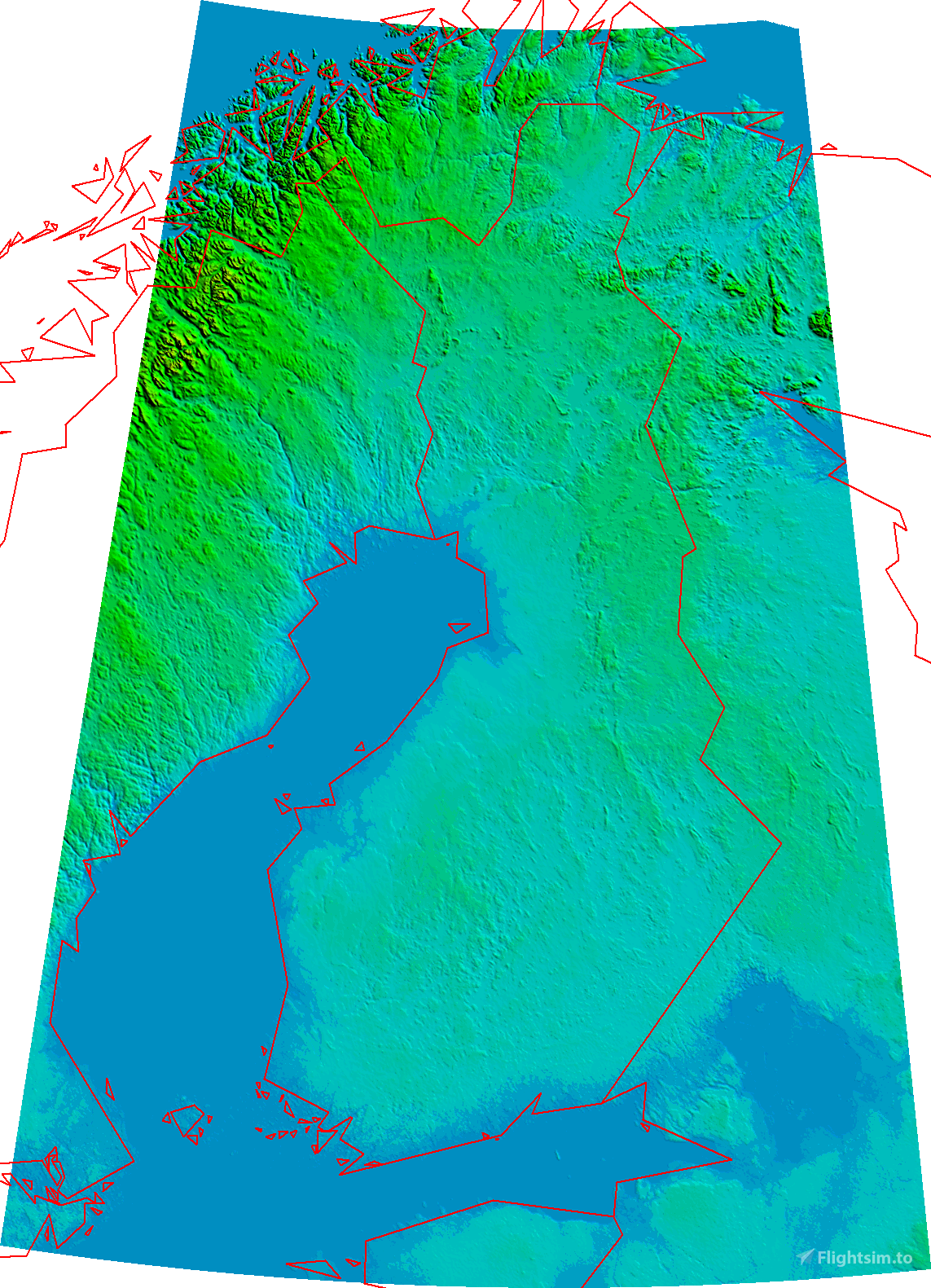
2. find bgl that corresponds to the area you want to remove, most are ICAO codes. Otherwise refer to areacodes.png
3. rename/delete said bgl. For example rename EFTP.bgl to EFTP.bgl.disabled
Mods known to work with this mod (doesn't mean others won't):
Known issues in airport heightmaps:
- You tell me?
Known issues in CGL-DEM:
- Edges of covered area don't blend to the original in-game/bing DEM
- Sub-optimal file size
For creators:
Uses priority 20 and 21 to override default airport areas without seaming. So if you want to build something that uses this as a baseline, use at least priority 22 if you do terraforming or additional heightmaps over this one.
Out of date documentation and basic implementation to create native DEMs is available at github.com/muumimorko/MSFS2020_CGLTools
Please post technical question and comments at github or at FSDeveloper.com forum: MSFS - Everything about CGL generation
Credits:
"DEM2" and "Laser scanning data 0,5 p" by the National Land Survey of Finland
DTM10 by Kartverket (Norway)
Elevation data grid 50+ by lantmateriet (Sweden)
AW3D30 Provided by Earth Observation Research Center (Japan Aerospace Exploration Agency)
Creator: Morko
This work is licensed under CC BY-NC-SA 4.0.
To view a copy of this license, visit creativecommons.org/licenses/by-nc-sa/4.0
This license requires that reusers give credit to the creator.It allows reusers to distribute, remix, adapt, and build upon the material in any medium or format, for noncommercial purposes only.
If others modify or adapt the material, they must license the modified material under identical terms.


Hi, sorry for a noob question. How do i install this to FS2020 PC?
2 years ago
Apache2k
Doesn't work with the new default Helsinki photogrammetry anymore
2 years ago
Temporary(?) fix: remove "EF_HELSINKI.bgl" and "EFHF.bgl" from folder "morko-dem-finland-heightmap-airports\scenery\heightmaps\finland".
2 years ago
morko
Maxest
ok, the two DEM folder (Part 1 and 2) share the same filename and therefore cannot be placed into the Community folder together! Or have I missed something? And what files must we disable and where to find them? There is No "scenery" folder inside the Community Folder as such - or is the location elsewhere? Sorry but your instructions for disabling are not clear?
3 years ago
Hi,
CGL-DEM folders should be merged when unpacking (unpacked to same folder). CGL-DEM is not really needed anymore because Asobo has updated both local and cloud DEMs.
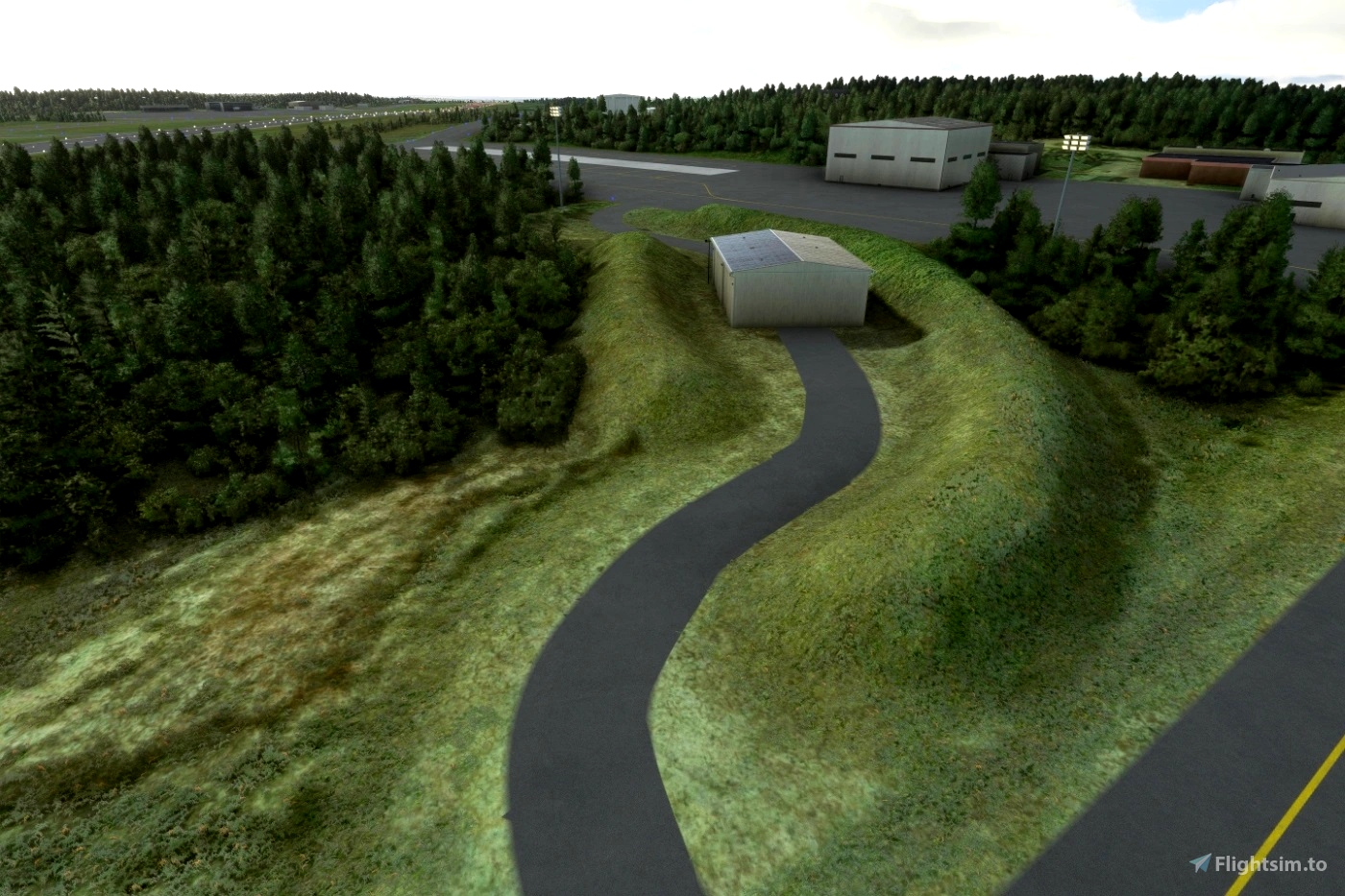
"Heightmaps"/main download have the airport terrains (that make the "3d" runways. Deleting files is only necessary if you need to remove a heightmap of certain airport, that has a custom scenery that doesn't work with this mod (for example Justsim EFHK). Scenery folder with heighmaps is in package "morko-dem-finland-heightmap-airports".
For next update I'll rework the mod description to make things more clear.
3 years ago
morko
Premium
BAW9DV
Premium
Is this still necessary after the world update?
3 years ago
Hi, as is in file description:
Heightmaps ("Main file"), yes, if you like the realistic 3d runways.
CGL-DEM, generally no, but if you fly in northern Estonia, maybe.
3 years ago
morko
meurkel
In MSFS Addon Linker for the file "morko-dem-finland-lvl13" it says this file is "DEM for Norway"... what is it really?
3 years ago
It is for Finland. (I made a DEM of Norway pre WU5, but Asobo delivered a great DEM themself so did not release, seems the name went to the wrong package)
Noted and will be fixed in next release of CGL-DEM, no ETA.
3 years ago
morko
DragonLick
Small addition to my former post. The bumps only appear when AP heightmaps are loaded.
3 years ago
Thank you for reporting, shall be fixed after todays SimUpdate.
3 years ago
morko
Grusgrus
Very much appreciate your work. Lately, however, noticed two bumps on the runway of Vaasa. One 500meters from the southern threshold, the other 830 meters from the northern threshold, the middle part of the runway being higher than the ends. Planes will crash here if you don't go very slowly. I used to live in Vaasa myself, so I go there pretty often in the sim. It would be nice if this could be fixed.
3 years ago
Grusgrus
In the folder script I saw the file "coverage". There I saw, that this mod also covers parts of sweden. I have the mod of the airport of stockholm. Will this mod work together with your mod? Or does this mod not cover parts of sewden?
3 years ago
This mod does cover also parts of Sweden, yes.
"CGL-DEM" does not generally affect areas inside airports, because airport sceneries are usually built on "flattened" surface.
3 years ago
morko
Mr1x
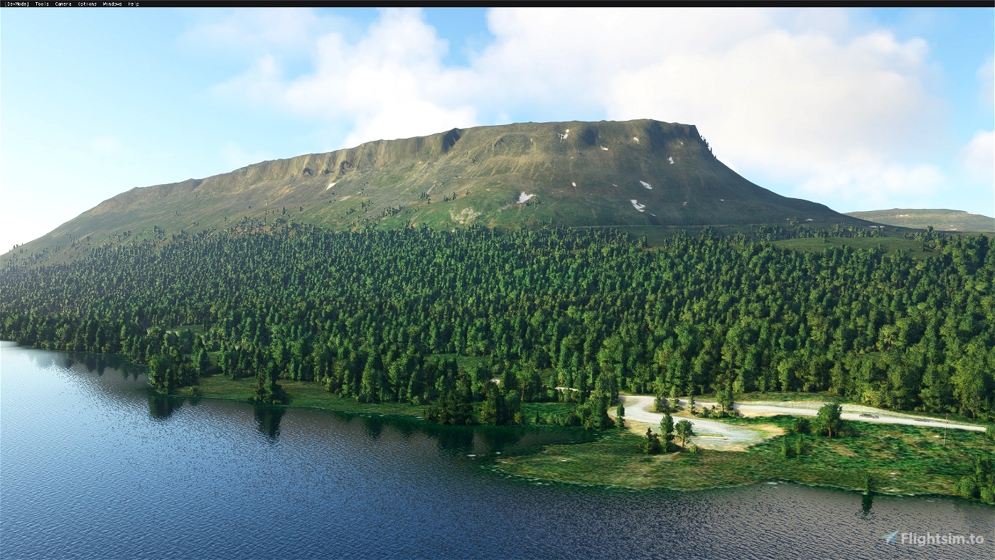
The new 10 meter DEM is a great addition to Finland. One small flaw is the narrow hill that rises high in Saana fell. Could I get it off, please.
3 years ago
Fixed :)
3 years ago
morko
Esa
Hi, in morko-dem-finland-heightmap-airports, the subfolder ContentInfo is missing: is it normal ?
3 years ago
A mistake, fixed in latest, although it should not affect the function of the package :)
3 years ago
morko
JLD95
3 years ago
Updated heightmaps with a fix Helsinki POIs.
I'll rebuild CGL-DEM with data from Estonia ASAP and send you a private message about JustSim EFHK :)
3 years ago
morko
Maxest
Will this be available for xbox series x?
3 years ago
Maybe?
"Base dem" modification is probably not needed now that the Nordic update improved the native dem greatly. (except in offline mode (don't know if it exists on XBOX) But airport heightmaps are still useful, will have to take a look at how mod submission to in-game store works.
3 years ago
morko
Hopeinen_Q
3 years ago
BostonElf
3 years ago
hergi1234
3 years ago
3 years ago
morko
RenderMan