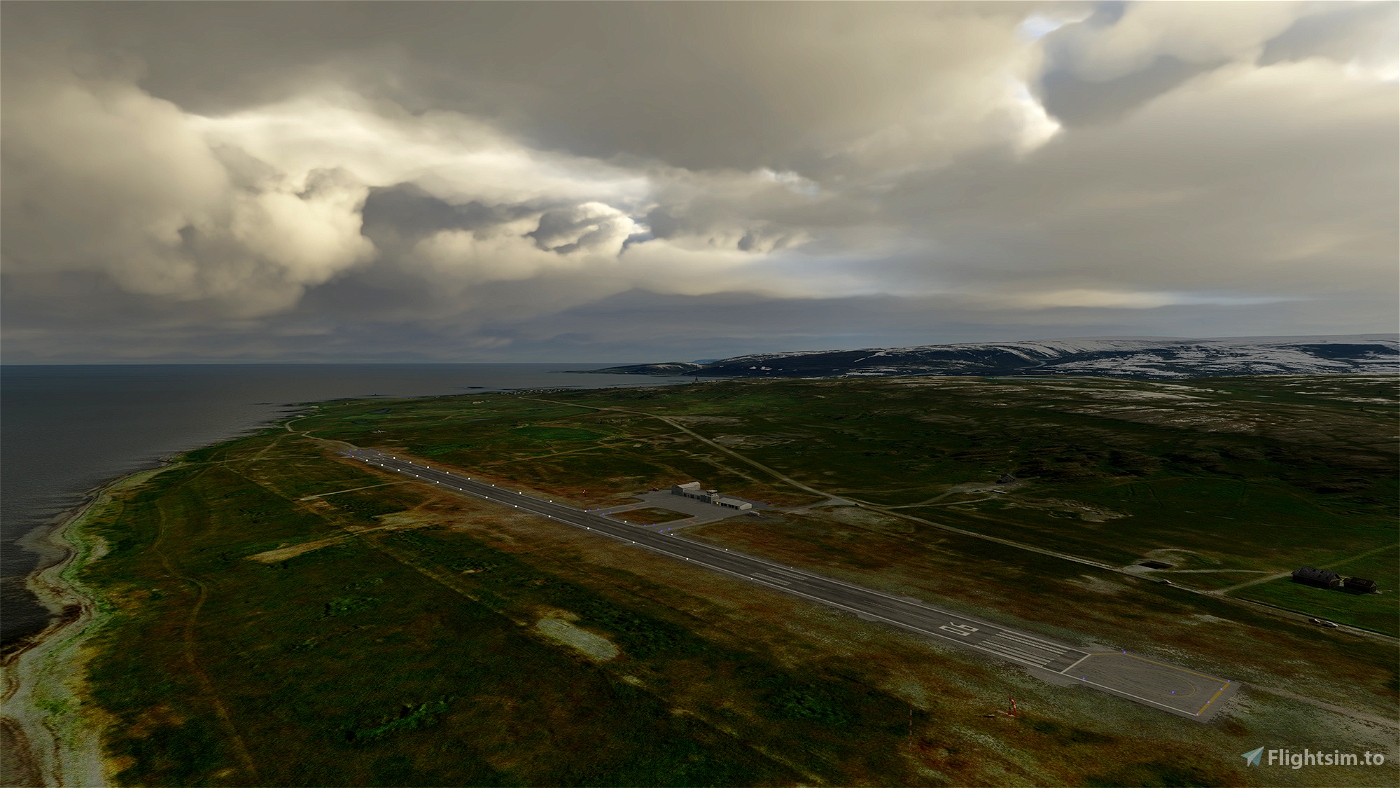
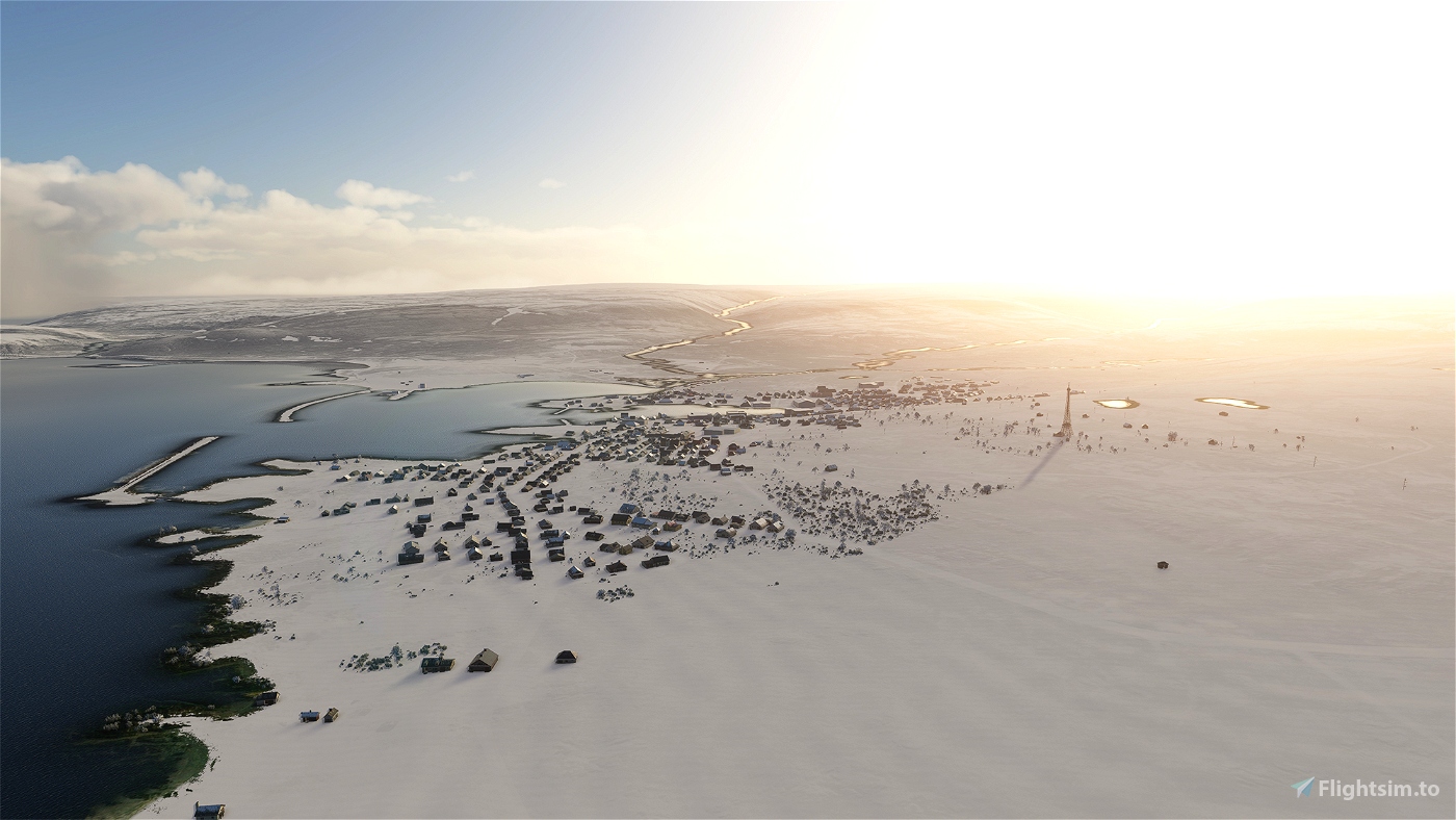
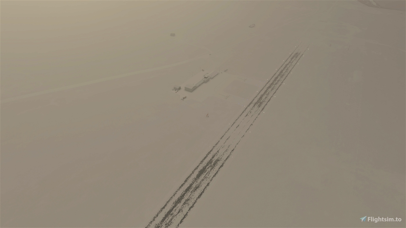
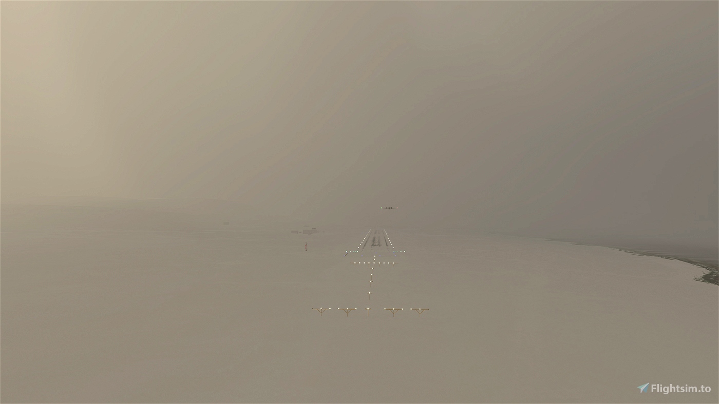
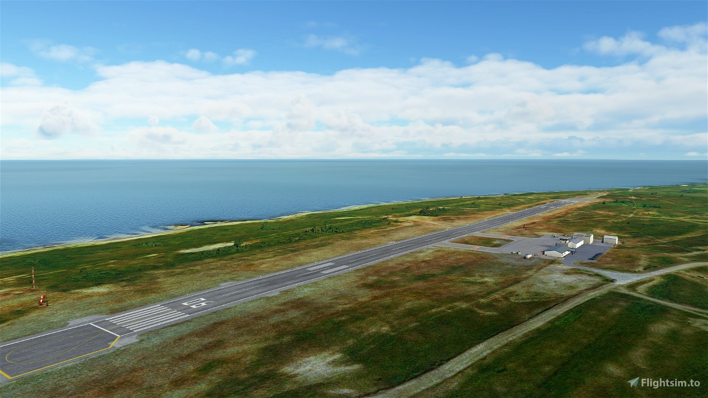
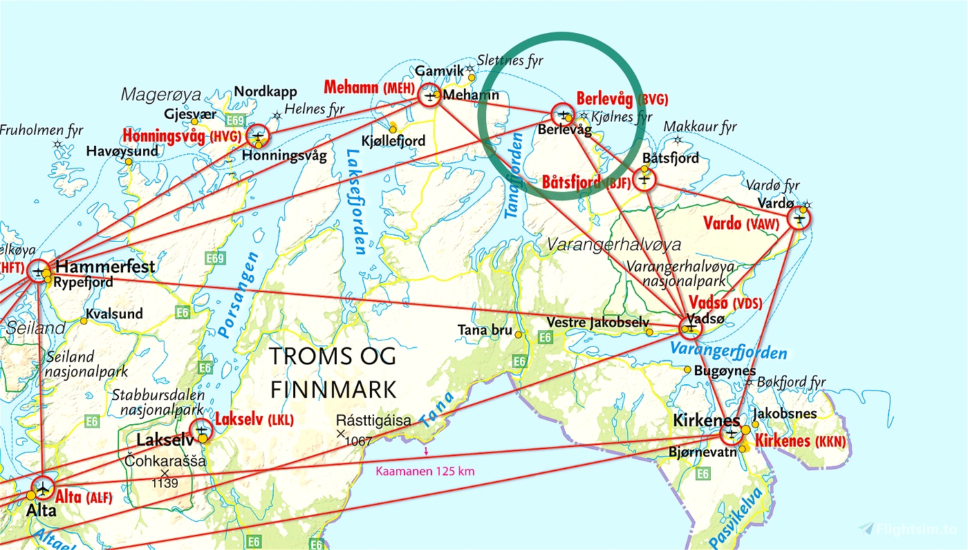
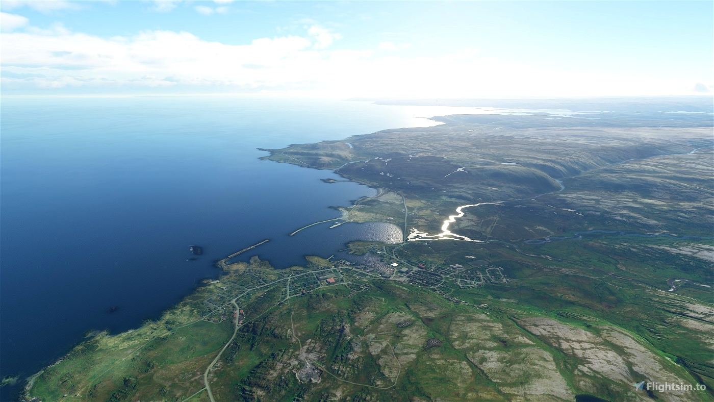
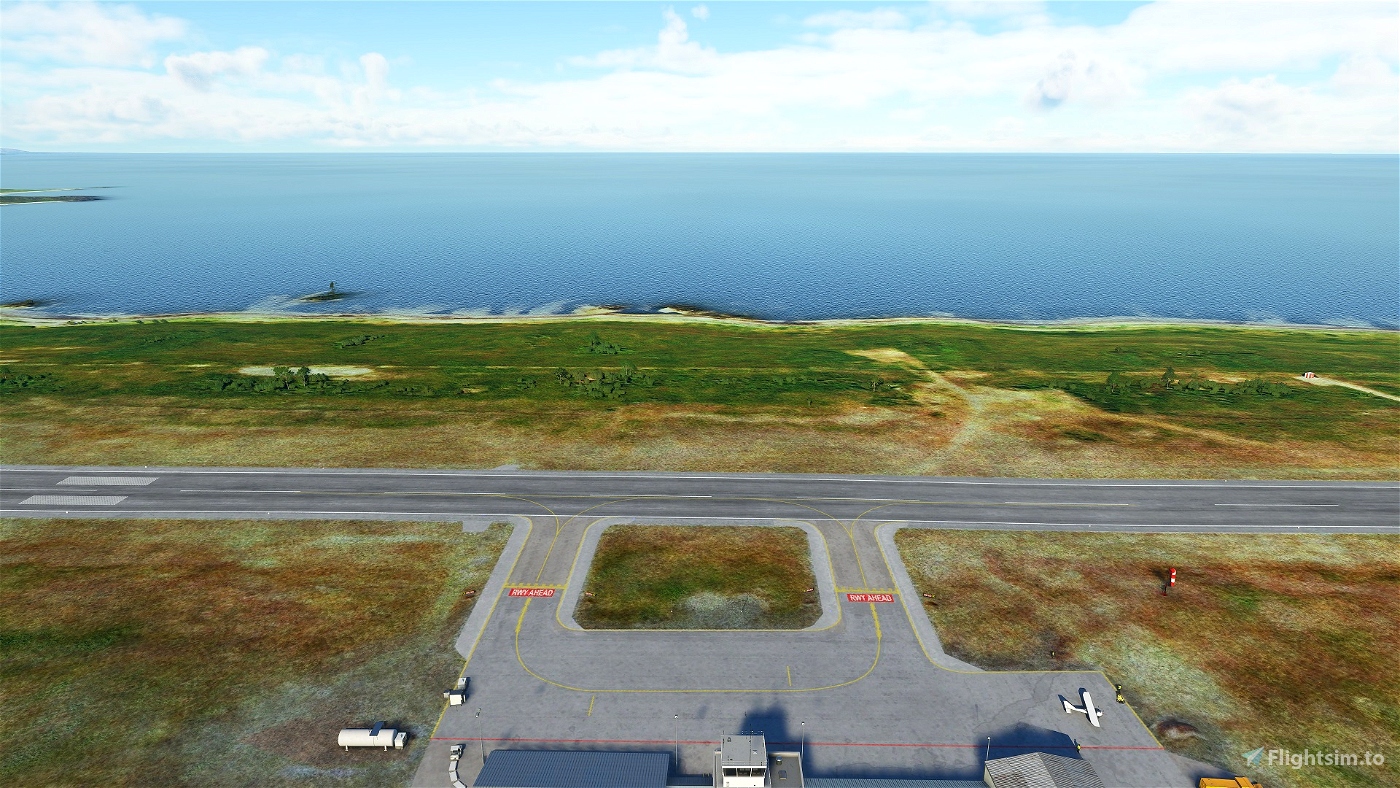
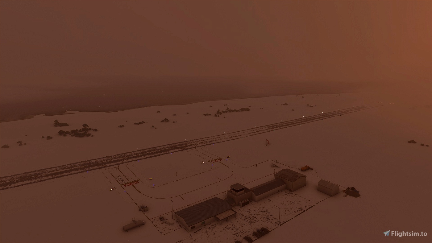
Berlevåg Airport is a STOL airport in northern Norway operated by Widerøe DHC 8-100s, with three daily flights to nearby Mehamn, Hammerfest, and Båtsfjord. Cancellations are frequent in the winter months due to stormy winds and blizzards, but the tree-less tundra climate is otherwise dry and summer ceilings are seldom very low. At a latitude of 69 North, the airport experiences polar nights in winter and midnight suns during summer.
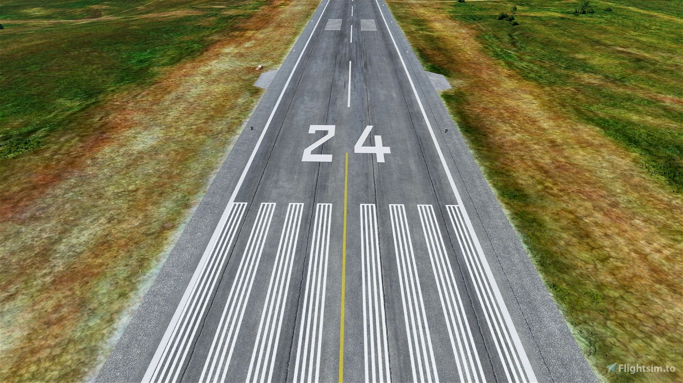
Norwegian AD-2 charts freely available through the Avinor.no AIP page - special attention required for the 24 missed approach. Payware with custom buildings/mats available at onfinal.dk (unaffiliated).
*****************************************
V 1.5 Changelog: Adjusted to make use of improved height mapping in Nordics DLC. Negligible impact.
V 1.5 features
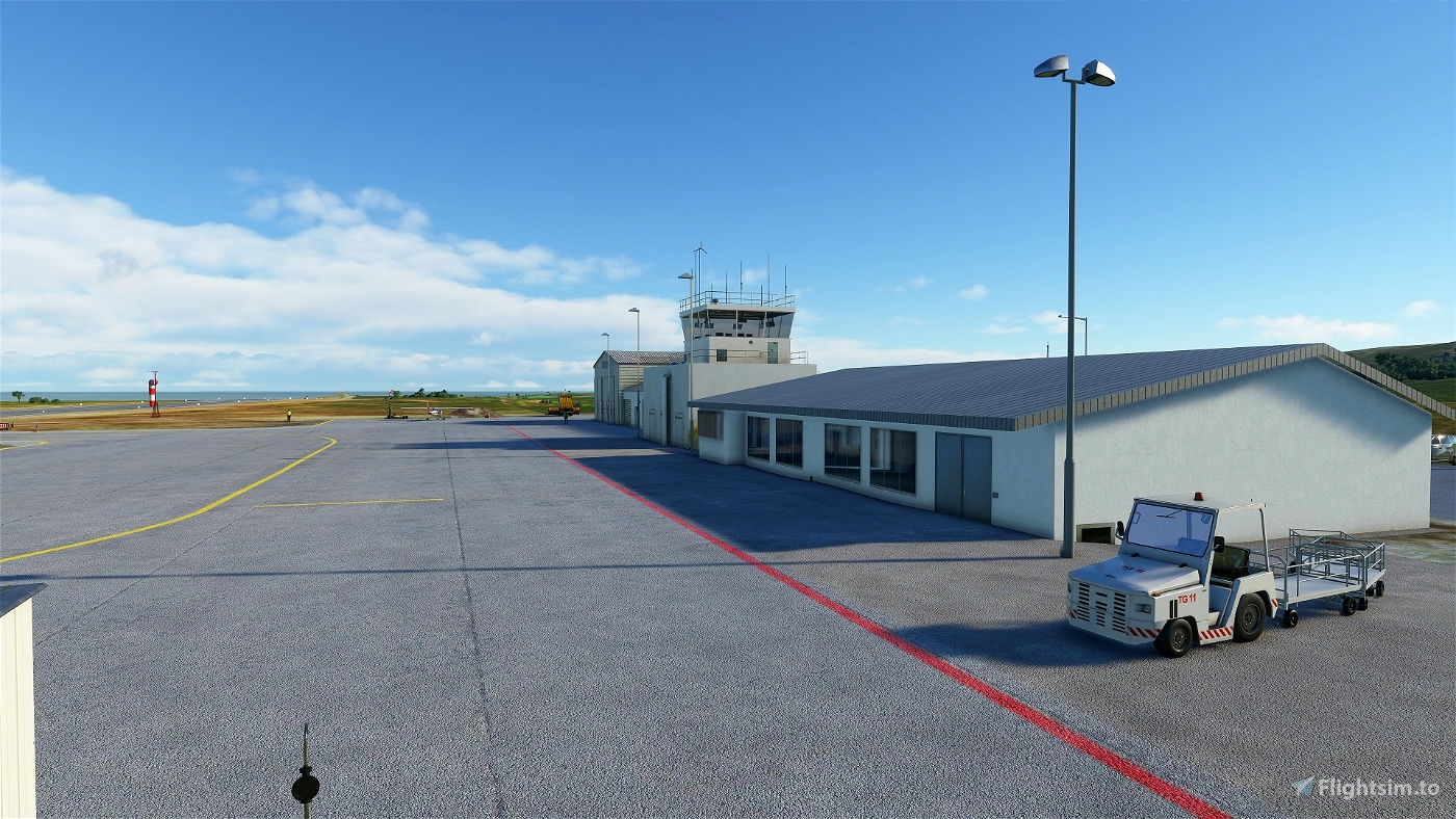
- Winter-ready.
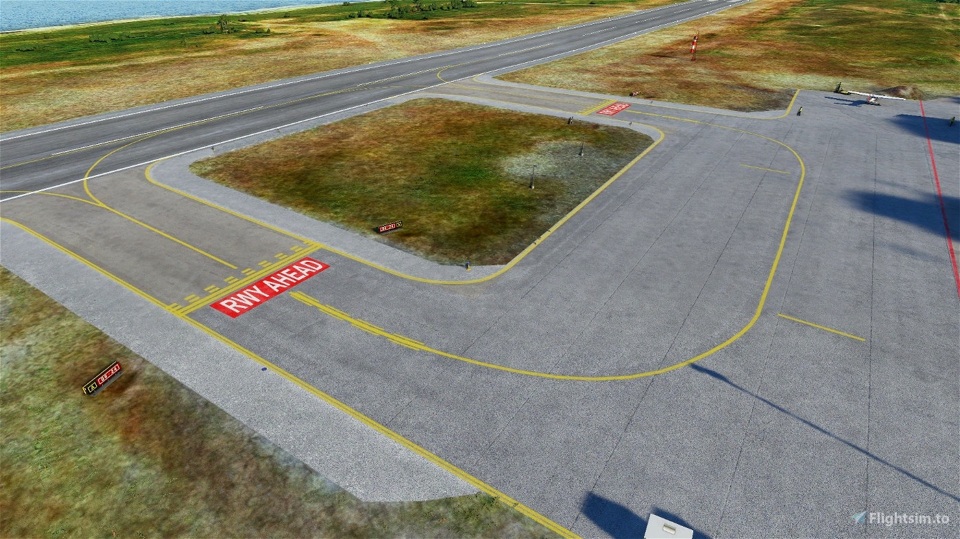
- Accurate approach lighting (two branch Calvert).
- Improved runway slope to reflect real profile.
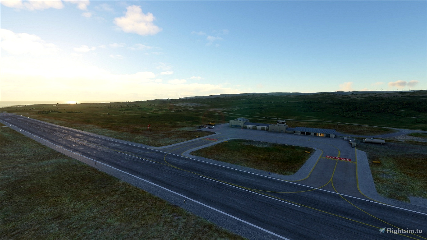
- Runway and apron texture and layout updates.
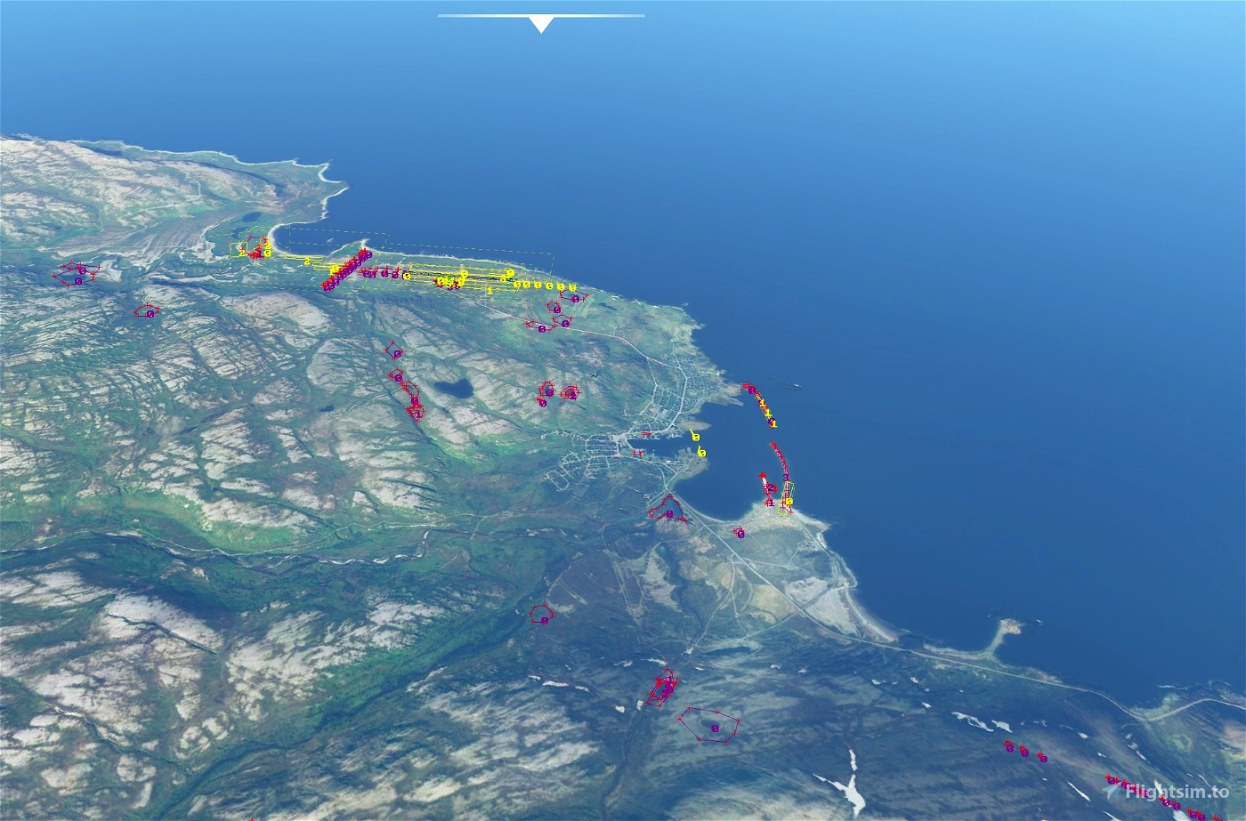
- Corrections to buildings in the local village and the airport itself.
- 4.5 degree PLASI.
V 1.4 chiefly addresses more accurate default terrain data by removing lake fixes etc.
It is still missing new satellite imagery and correct placement of lights. Corrections or input always appreciated.
Thank you for any donations <3

 WF971
WF971 


Looked great! Worked great. Thanks!
2 years ago
ECPatterson
Am not sure anyone else is having a problem with this scenery. All of the others works just fine, but anytime I try to load this airport (ENBV) I crash to desktop.
3 years ago
I'll check that out this evening! Thanks for letting me know.
3 years ago
WF971
hvh9001