Description
3. sep 2025 update: addon is found not compatible with MS2024.
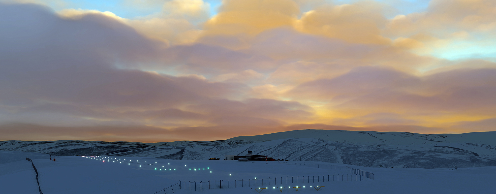
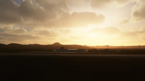
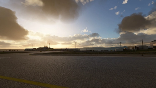
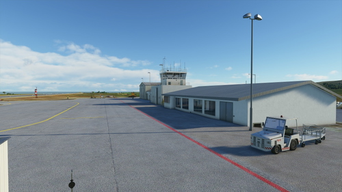
Båtsfjord airport is a STOL airport in northern Norway operated by Widerøe DHC 8s, and is the largest of the four airports on the Varanger peninsula. It serves a local community of approx 2200 inhabitants. It replaced the older airport, still clearly visible in the valley below, in 1999.
Charts freely available through https://avinor.no/en/ais/aipnorway/.
Unaffiliated payware version at onfinal.dk.
*****************************************
V 1.5 Changelog: Adjusted to make use of improved height mapping in Nordics DLC. Negligible impact.
V 1.5 Features
- Correct runway slope with 50 meter resolution.
- Improved airport markings, parkings, terrain, buildings.
- Improved terrain in the vicinity of typical approaches.
- The least practical parking lot layout in Norway.
- 4.5 degree PLASI.
Known issues:
- Some lighting is still inaccurate. Waiting on SDK updates.
- No satellite imagery.
- Some terrain slopes have their angles softened in order to reduce shadow/LOD issues.
Apron and taxiways are ASSUMED unnavigable by AI for now. Input and criticism is always welcome.
Thank you <3 for any Paypal donations.
ENBS - Båtsfjord Airport, Båtsfjord
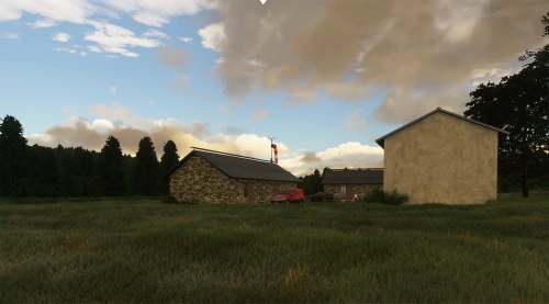
Båtsfjord ENBS is a STOL airport on the Varanger peninsula of Northern Norway, typically serviced by Widerøe Dash 8-100s. This freeware addon uses the Nordics DLC and default buildings, crafted with meticulous attention to approach lights and runway slope.


User Reviews
6 reviews
More Information
Version History
Related
ENSS - Vardø Airport Svartnes
Vardø Svartnes Airport ENSS is a STOL airport on the Varanger peninsula of Northern Norway, typically serviced by Widerøe Dash 8-100s. The addon uses the Nordics DLC and default buildings, handcrafted with particular attention to runway slope, approach lighting, and approach-adjacent scenery.
by WF971
ENVD - Vadsø Airport, Vadsø
Vadsø ENVD is a STOL airport on the Varanger peninsula of Northern Norway, typically serviced by Widerøe Dash 8-100s. The addon uses the Nordics DLC and default buildings, handcrafted with high attention to runway slope, approach lighting, and other unique elements.
by WF971
ENBV - Berlevåg Airport, Berlevåg
Berlevåg ENBV is a STOL airport on the Varanger peninsula of Northern Norway, serviced by Widerøe Dash 8-100s and the occasional King Air B200. This freeware addon uses the Nordics DLC and default buildings, crafted with meticulous attention to approach lights and runway slope.
by WF971
ENME - Meråker Airport Øian
Enhance your virtual aviation experience with the ENME - Meråker Airport Øian add-on, offering a small airstrip fix east of Trondheim Airport Værnes. This mod corrects runway slopes, terrain issues, and adds essential airport features for improved playability. Compatible with additional scenery enhancements for an even more detailed flight simulation.
by WF971
Comments(13)
Log in to join the discussion
Log Inover 3 years ago
SU11/12 compatible ?
over 4 years ago
thank you from France
over 4 years ago
Thank you for the comment! Bon voyage!
over 4 years ago
Went in for a touch and go. Looked good to me! Thanks!
about 5 years ago
over 5 years ago
over 5 years ago
over 5 years ago
over 5 years ago
over 5 years ago
over 5 years ago
over 5 years ago
over 5 years ago