Description
A. PROJECT DESCRIPTION
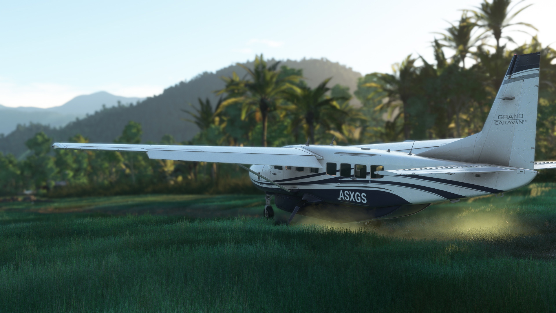
It's Taria airstrip (code ICAO: WATI /fict/) which is located in Mamberamo Ulu, Papua plateu, Indonesia. The airport has ca. grass/dirt airstrip, one medium parking spot and one large cargo ramp. There are no services or ground crews available there. I added custom sat image (Bing one) in which I corrected clouds that covered major part of the strip. I added a small military vibe to the as the cargo ramp is operated under an Indonesian military and consequently the airstrip is guarded by them. The airport has very limited lighting so it does operate only during day hours.
Data:
Runway 03/21, 2814x55 ft (858x17m), grass/dirt
The clearing width - ca.250ft/75m
Elevation: 302ft/98m msl
ICAO code: WATI (fictional)
IATA code: none
FAA code: none
B. FUTURE PLANS
I may try to enhance details in the village area if time or other plans permits.
C. KNOWN BUGS / IMPERFECTIONS
Bugs - none that I know of. Imperfections - many, you need to judge by yourself.
D. INSTALLATION
The package has size of 126MB due to aerial image included.
The package has been scanned with antivirus software in accordance with flightsim.to rules just before I uploaded it, but I can not guarantee that it will not harm your computer in any way. You known the rules! Use at your own risk.
1. Unzip the package to temporary folder.
2. Copy folder named „nice-wati-taria-aerial” and "nice-wati-taria-airstrip" into your “Community” folder.
3. Enjoy!
This addon requires:
- superspud's animated-people library, here: https://flightsim.to/file/33166/animated-humans-library
- emerald object library, here: https://flightsim.to/file/8824/emerald-object-library
- that you have all World Updates installed, including their airports (specifically: CYDA, EGSS, NZQE, YMBT, NTTM, PMKO, NZTL, CUBD, EGLF, EDJA, KBID, EICK, CUCG, TTCP, AYTI)
E. CREDITS & THANKS
- Bush Divers VA community
- authors of the libraries I used
F. COPYRIGHT AND LICENCE INFORMATION
This addon includes models and textures of AS/MS SDK libraries under Microsoft's "Game Content Usage Rules". Please note, this project is not endorsed by or affiliated with Microsoft or Asobo. You can read the rules here: https://www.xbox.com/en-US/developers/rules Apart from above mentioned elements, the rest of the project was made under CC BY-NC 4.0 International licence. Feel free to improve my addon if you know how-to, no permission needed.
G. NOTES
a/ This is my second scenery. I am trying to improve my skills of scenery making in small steps. Please, be nice with me.
b/ Obviously, it's likely that this location looks different in reality. I made it based only on two pictures of the location I was able to find in the internet, and based on Bing sat images on which a major part of the strip was covered with clouds. Thus, there's a sort of artistic liberty taken in this creation.
c/ I used two popular 3rd party libraries to enhance the look and feel of the scenery. The scenery may work without them but at the cost of degraded quality.
Yours faithfully,
Radek Koterbski (aka NightIntruder)
October 9th, 2025
CHANGELOG:
ver. 0.251009:
First release of the addon.
WATI Taria airstrip, Papua, Indonesia
The WATI Taria airstrip add-on introduces airstrip located in Mamberamo Ulu, Papua, Indonesia, featuring a grass/dirt runway and basic infrastructure, partially operated by the Indonesian military. The scenery includes custom satellite imagery where necessary and is designed for daytime operations due to limited lighting. Future enhancements may include additional details in the surrounding village area, while the add-on requires two libraries for optimal functionality.


Location
More Information
Version History
No version history available.

Comments(8)
Log in to join the discussion
Log In