Description
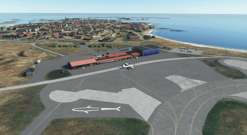
Kjeller Airport from "Kjellergutta" is their first creation, now in a revised version with connected taxiways and GA parkings with no airport services like in real life.
From Wikipedia:
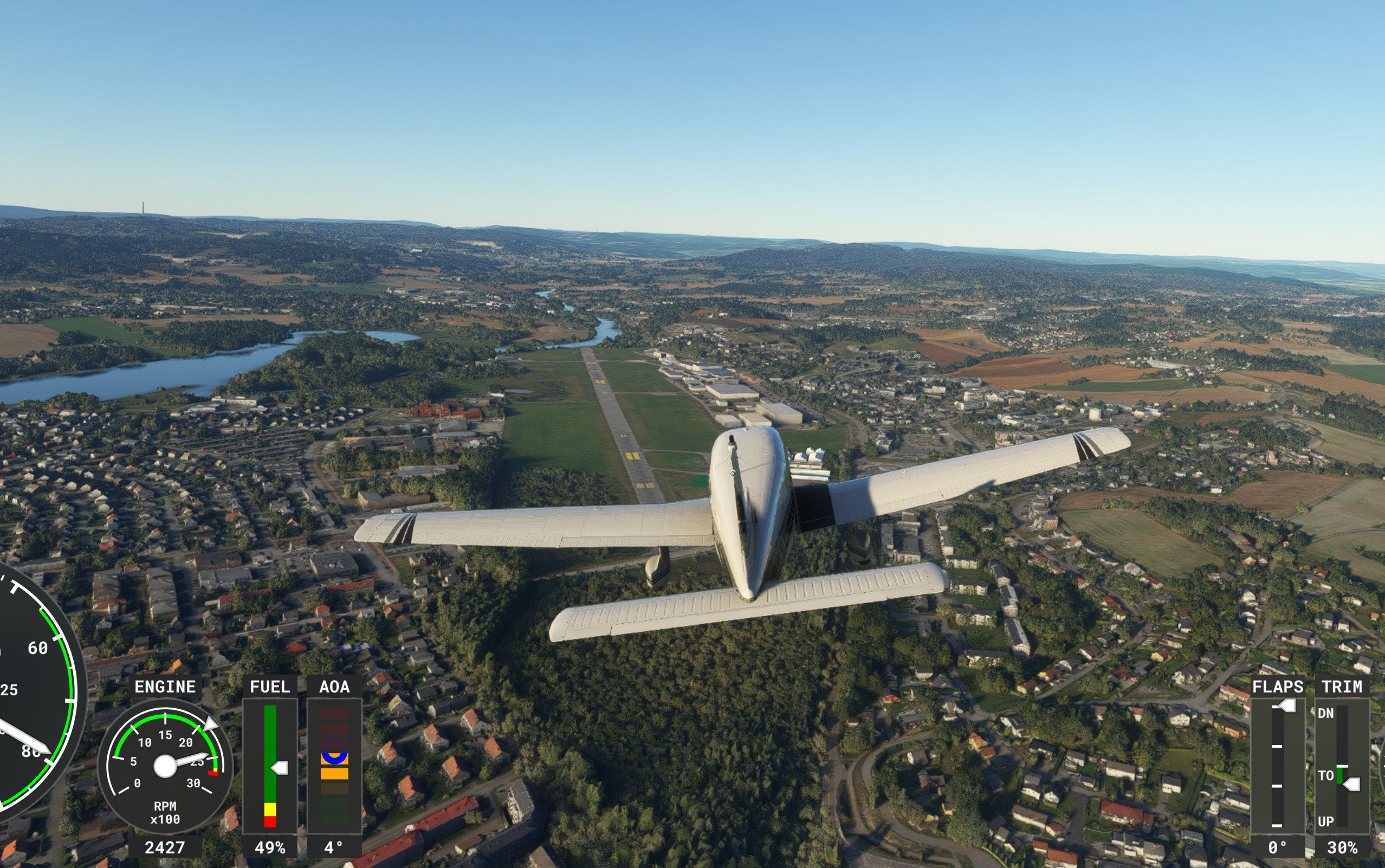
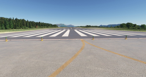
Kjeller Airport (Norwegian: Kjeller flyplass; ICAO: ENKJ) is a military and general aviation airport located in Kjeller in Skedsmo in Viken county, Norway. Situated in the outskirts of Lillestrøm, it is 9 nautical miles (17 km; 10 mi) east northeast of Oslo, making it the airport located the closest to the capital.[1] The airport has a single 1,735-meter (5,692 ft) asphalt runway numbered 12–30, with a declared distance of 1,357-meter (4,452 ft). The airport is owned by the Norwegian Defence Logistics Organization, while the civilian operations is carried out by Kjeller Aero Senter. The main military activity is the Aerospace Industrial Maintenance Norway, the main maintenance facility for the Royal Norwegian Air Force (RNoAF).
The airport became the first in Norway when it was established in September 1912 to serve the Norwegian Army Air Service. The break-out of World War I resulted in a major expansion of the air field, followed by military aircraft factory Kjeller Flyfabrikk moving to Kjeller in 1916. Gradual expansions took place in the following decades. The airport was occupied by the Luftwaffe on 10 April 1940, resulting in Junkers, Daimler-Benz, BMW and Brinker Eisenwerk establishing various maintenance facilities at the airport. After liberation in 1945, the RNoAF converted Kjeller to a maintenance base and placed the Air Force Logistics Command there from 1952. Runway expansions took place in 1951, 1959 and 1975.
Scenery elevation mesh (C) CC-BY-4.0 Norwegian Mapping Authorities
Comments(33)
Log in to join the discussion
Log Inover 2 years ago
over 2 years ago
Lurer på om det er mulig å legge til VFR-meldepunktene som definerer Kjeller traffic for bruk til turplanlegging.
Kjeller Rapporteringspunkter Koordinater (KAS Driftshåndbok for sivil bruk)
Midtøy 595100N 0111100E
Kukollen 595400N 0111800E
Haukåsen 595415N 0105350E
Svelle 595500N 0110700E
Maridalsvannet 595900N 0104700E
Sørum 600000N 0111300E
Nittedal 600300N 0105300E
over 2 years ago
Thanks for the stars!
over 2 years ago
Many Thx from Germany,
Captain Moonlight
over 2 years ago
over 2 years ago
over 2 years ago
over 2 years ago
over 2 years ago
Edited to remove a thing I wrote which *proves* I am blind. Sorry.
over 2 years ago
ENKJ - Kjeller Airport
Explore Kjeller Airport (ENKJ) - a military and general aviation airport in Norway, now in a revised version with connected taxiways and GA parkings. Situated 9 nautical miles from Oslo, it features a single 1,735-meter asphalt runway and serves as a key maintenance facility for the Royal Norwegian Air Force. Learn about its rich history dating back to 1912, including wartime occupations and post-war expansions. Mesh scenery elevation courtesy of Norwegian Mapping Authorities.

User Reviews
7 reviews
Location
More Information
Version History
- Removed confliict with photogrammetry of Lillestrøm in WU15 - Fixed direction of parking - Enhanced runway profile according to new elevation data in WU15 - Several smaller fixes, especially on taxiway elevations
Related

ENEV - Harstad/Narvik Evenes airport
Evileye is happy to present another airport in northern Norway. Harstad/Narvik airport Evenes sits between the cities of Harstad and Narvik, on the border of Nordland and Troms in Northern Norway. It's main taxiway runs the entire length of the runway.
by evileye
ENAN - Andøya airport
Evileye, a cooperation betwen myself and @sauron, is proud to present Andya Airport, situated at the very far north of the Andøya peninsula close to the small town of Andenes. The airport scenery has a lot of handcrafted 3D buildings to make sure the exeperience is as close to reality as possible. To make sure you have an optimal experience, please download and install the ENXX asset pack from Wombiiactual and @Sauron's Andenes scenery.
by evileye
ENKB Kristiansund Kvernberget - enhanced airport
Experience Kristiansund Airport, Kvernberget, in Norway with this enhanced airport add-on. Located on the ridge of Kvernberget, the airport features a single runway, modern terminal building, and serves as a base for offshore transport. Discover this bustling regional airport and enjoy the panoramic views from the viewing platform.
by daghb
ENBL Bringeland - enhanced airport
Enhanced airport mod featuring Bringeland Airport (ENBL), located in Vestland county, Norway. The airport boasts a single runway, owned by Avinor and serving the Førde region. Explore the nearby town of Førde, a commercial and cultural hub in Sunnfjord Municipality, with a population of over 10,000 people. Strategically positioned at the intersection of major highways, Førde offers diverse amenities including educational institutions, industrial centers, and vibrant cultural attractions.
by daghb
8 months ago