
Description
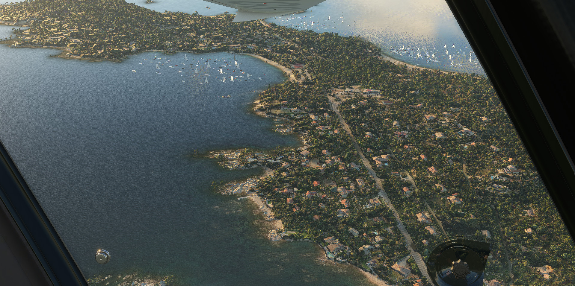
Ajaccio North & South, Corsica, France (Extension) (38 cm res.). Porticcio and Isolella are on HD (19 cm res.).
This addon is an extension of Ajaccio, Corsica, France.
When the part is downloaded , simply extract into community folder.
Zip file including (Main file):
adrianl-ajaccio-north-and-east: photogrammetry & terraforming data. (Extension file)
adrianl-ajaccio-south : photogrammetry & terraforming data. (Extension file)
Addon size : 6.15 Go
Credits :
-Thanks to Thalixte for the GETOD tools.
-Thanks to Elie Michel for sharing Lily texture Packer.
-Thanks to Jonahex111 for graciously sharing Earth2MsfsWPF and Thalixte to keep it up to date.
-Thanks to all other software and add-on creators who shared their tools to archieve this work.
Check my website > https://adrianltry.wixsite.com/adrianlscenery
Donation > https://paypal.me/adrianltry
Notes :
For more question, see the FAQ section in About & Built Method on my website.
All the images shown above use the MSFS2020 Map Enhancement addon.
Frequently Asked Questions
Location
Ajaccio North & South, Corsica, France (Extension)
Explore the stunning landscapes of Ajaccio, Corsica with this extension add-on featuring high-resolution details of the northern and southern parts, including Porticcio, Alata, Afa, and more. Choose to install individual parts or combine them for a seamless experience. Credits to contributors for their tools and support. For more information and donations, visit the creators website.
Content Removed
This file has been removed due to a rule violation and is currently not available.

User Reviews
3 reviews
Version History
V2.0 :Major update. Better integration of photogrammetry (flat surfaces on the ground are no longer visible (e.g. fields, streets)), so you can use your own background maps (Bing, Maps, etc.). The native MSFS trees have been retained and form a hybrid with the photogrammetric trees. Large areas with predominantly photogrammetric trees have been removed where possible. As a result, the volume of the package is significantly reduced. Feel free to give me your feedback.
Related
Chamonix-Mont-Blanc, Rhône-Alpes, France - Valley
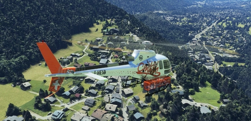
Explore the stunning Chamonix-Mont-Blanc valley in Rhône-Alpes, France with this addon, including a semi-fictional DZ at Argentière. Enhance your experience by combining it with the Mountains addon. Download, extract into community folder, and enjoy photogrammetry and object data. This addon requires a minimum configuration for optimal performance.
by AdrianL
Chamonix-Mont-Blanc, Rhône-Alpes, France - Mountains
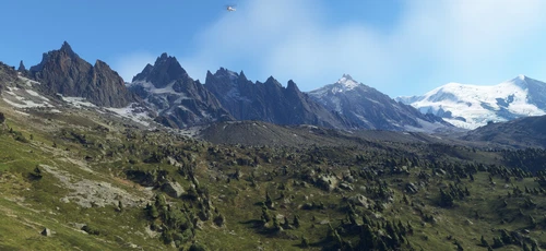
Explore the stunning Chamonix-Mont-Blanc mountain scenery in Rhône-Alpes, France with this mod. Includes photogrammetry and terraforming data for a realistic experience. Additional files are available for extension and customization. Check system requirements before downloading for optimal performance.
by AdrianL
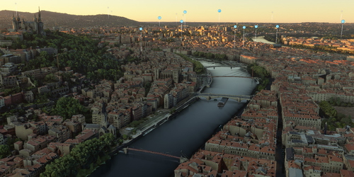
Lyon, Rhône-Alpes, France
Explore Lyon and its landmarks in high definition with this add-on. Hospitals are detailed in ultra HD for a realistic flying experience. Enhance the scenery further with additional extensions available for download. Dont forget to visit the creators website for more information and updates.
by AdrianL
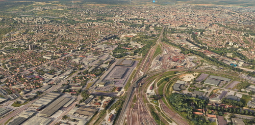
Dijon, Bourgogne, France
Dijon, Bourgogne, France (38 cm res.). Dijon center is on HD (19 cm res.). The CHU is on UHD (9 cm res.). Parts 1 & 2 are required. Parts 3 & 4 are optional. When all the parts are downloaded , simply extract into community folder. This scenery...
by AdrianL
Comments for this addon are closed.
Comments(22)
about 2 years ago
about 2 years ago
about 2 years ago
All the files for this V2 version are in the main file. Forget the other files in the download drop-down menu (I don't have the control to delete them).
Mixed patches are no longer necessary with this new update :) However, I still recommend installing Ajaccio city and this add on for a better rendering.
TY
Adrian
about 2 years ago
over 2 years ago
Juste un commentaire supplémentaire pour te remercier une fois de plus pour ton travail sur cette scène. C'est un plaisir de pouvoir voler dans le coin, surtout de nuit. Je trouve la vue du port exceptionnelle en approche ILS 02, ou en parking 4.
Les lumières du bateau de nuit rendent toute la scène extrêmement crédible.
Seul petit bémol, les arbres.. mais ça je crois qu'on ne peut rien y faire.
Merci encore à toi, en espérant des futurs dev du secteur :)
almost 3 years ago
Au final, j'obtiens, notamment, 2 fois "Ajaccio East"
-Un fichier isolé : adrianl-ajaccio-east_Z3dAc.7z
-et un fic hier "adrianl-ajaccio-east" à l'intérieur de Ajaccio_9W1SQ.rar
??
almost 3 years ago
Hélas, non, pas de menu déroulant!
Peut être dans la version Premium... En tous cas pas dans la version de base de Flightsim.to. Quand on clique sur le bouton de téléchargement, le système passe directement au fichier "A" (après une pub pour la version "Premium", sans donner le choix..
almost 3 years ago
adrianl-ajaccio-east introuvable
Merci de récapituler l'ensemble des liens de téléchargement!
almost 3 years ago
L'autre partie est disponible lors de l'affichage de la fenêtre de téléchargement en cliquant sur le texte "Download main file" (apparition d'un menu déroulant).
Bonne journée.
almost 3 years ago
adrianl-ajaccio-east introuvable
Merci de récapituler l'ensemble des liens de téléchargement!
about 3 years ago
about 3 years ago
Problème corrigé. Depuis la dernière mise à jour du site, le téléchargement des fichiers nécessitait de choisir entre le main file et les autres fichiers sans titre. Difficile de s'y retrouver. Tous les fichiers sont maintenant dans un seul fichier .rar. Cependant, le site n'acceptant pas les fichiers >3GB, j'ai été obligé de séparer la partie sud sur une autre page que vous retrouverez en description.
about 3 years ago
about 3 years ago
Superbe travail .. Je vis sur place et c’est un plaisir de pouvoir voler chez soi :)
Aurais-tu dans tes projets une modélisation d’autres endroits de l’île ?! Merci pour ton superbe travail :)
about 3 years ago
Merci pour ce très bon commentaire !
over 3 years ago
does this version already contain ajaccio or should we also download ajaccio v2?
over 3 years ago
Ajaccio V2 must be installed separately. The link is in description.
over 3 years ago
Thank you! Amazing work.
over 3 years ago
Man screenshot #11 really does it for me for some reason
Also, thanks to this release I am cleaning up my Corsica folder... am I correct in thinking that adrianl-ajaccio-littoral-optional, adrianl-ajaccio-part-a and adrianl-ajaccio-part-b, are all old and deprecated folders from an older version that have nothing to do with this, and can be deleted? It's just adrianl-ajaccio and then the new folders, yes?
over 3 years ago
Hi goggless, thanks!
Yes, you are rigth. All the old files ( so as you said "adrianl-ajaccio-part-a" and "adrianl-ajaccio-part-b" ) should be deleted. "adrianl-ajaccio-littoral-optional" can be kept but I don't recommend it anymore because of the differences in colorimetry.
BR