Description
Features:
- aerial imagery from Google Maps
- navaids and ATC frequencies upon AIP
- RNAV SIDs/STARs and RNAV-ILS approaches coded upon AIP
- accurate placement and lettering/numbering of all taxiways and parking stands.
- detailed ground markings
- taxisigns
- all jetways included and functional
- vehicule paths
- basic scenery with default buildings, airport access roads and parking lots
- nightlightning using accurately placed lightpoles
See the readme for more details.
Changelog:
v1.1: should be now navigraph compatible
Comments(19)
Log in to join the discussion
Log Inover 1 year ago
Cheers,
Max
almost 3 years ago
over 3 years ago
The runways overlap,can you fix it please?Thank you
over 3 years ago
First landing in this airport and it has two runways (SU 11). Please fix
almost 4 years ago
见过AI飞机最友好的机场,完美ATC和进离场程序,停机坪再多点更好了
over 4 years ago
SU7 or not?
over 5 years ago
over 5 years ago
over 5 years ago
over 5 years ago
over 5 years ago
over 5 years ago
over 5 years ago
over 5 years ago
over 5 years ago
over 5 years ago
over 5 years ago
over 5 years ago
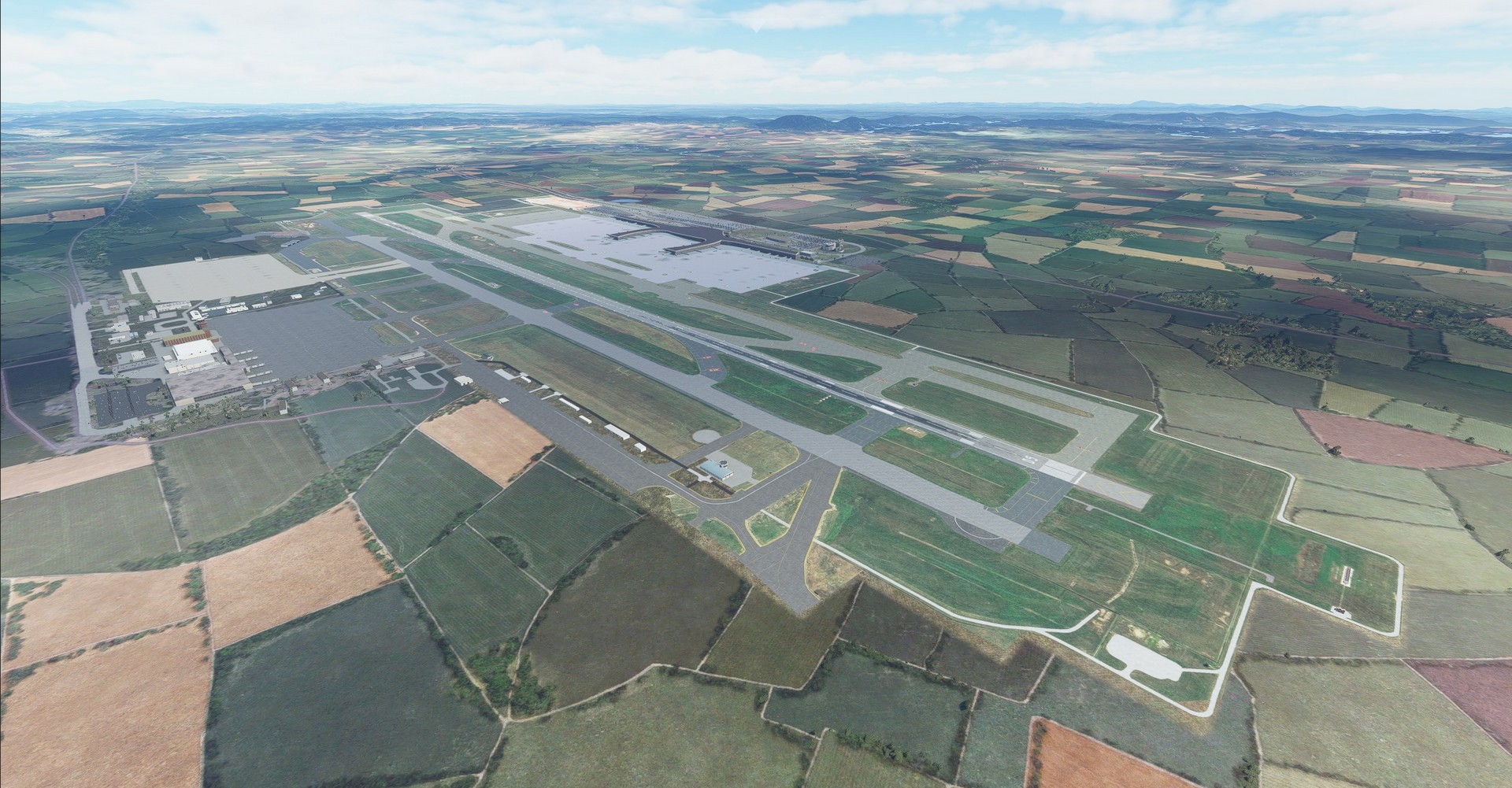
ZGNN Nanning airport
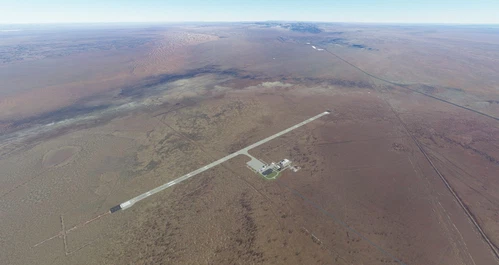
Explore the basic rendition of Nanning airport (ZGNN) in this Microsoft Flight Simulator add-on. Features include aerial imagery from Google Maps, navaids, ATC frequencies, and accurate placement of all taxiways and parking stands. Experience detailed ground markings, functional jetways, vehicle paths, and night lighting for a realistic flight experience.

User Reviews
8 reviews
Location
More Information
Version History
No version history available.
Related
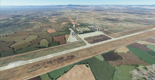
ZBCD Chengde airport
Chengde Airport (ZBCD) is brought to life in this add-on with aerial imagery from Google Maps, terraforming, and detailed elements such as parking stands, jetways, and taxiways. Experience a basic rendition of the airport with fictional ILS and Tower frequencies, along with functional night lighting for enhanced realism.
by Yohann Baptiste
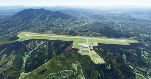
ZLDL Delingha airport
ZLDL Delingha airport is a basic rendition of the high-elevation airport located in the barren Qaidam Basin, China. This addon features accurate runway details, VOR DLH, ILS runway 25, and fictional tower frequency, along with taxiways, parking stands, and night lighting. Please note a glitch in MSFS default terrain near the airport due to missing or outdated bing imagery.
by Yohann Baptiste
ZBLF Linfen airport
A basic rendition of Linfen airport (ZBLF) with added VOR and ILS, along with functional jetways, parking stands, and taxiways. Includes Google Maps aerial imagery and night lighting. Version 1.1 features updated ILS and VOR frequencies based on real-world data.
by Yohann Baptiste
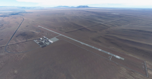
ZBAR Alxa Right Banner airport
"Explore a basic rendition of Badanjilin / Alxa Right banner airport (ZBAR) in China, featuring accurate runway details, VOR BDJ, and parking stands. This add-on includes Google Maps imagery, taxiways, airport lighting, and more for a detailed MSFS experience."
by Yohann Baptiste
6 months ago