Description
The stock Paro Airport in FS2020 is nicely crafted, but the apron layout is not update, and the parkings are classified as RAMP_GA_MEDIUM, which means that certain types of ground handling vehicles needed for jetliners are missing. On the other hand, the stock Paro Airport in FS2024 did made significant updates, but the "new " airport buildings looks pretty disappointed in my opinion, and the ground markings and taxiway layouts are also quite wrong. I feel no good after I've completed the "flying an Airbus like a bush pilot" landing.
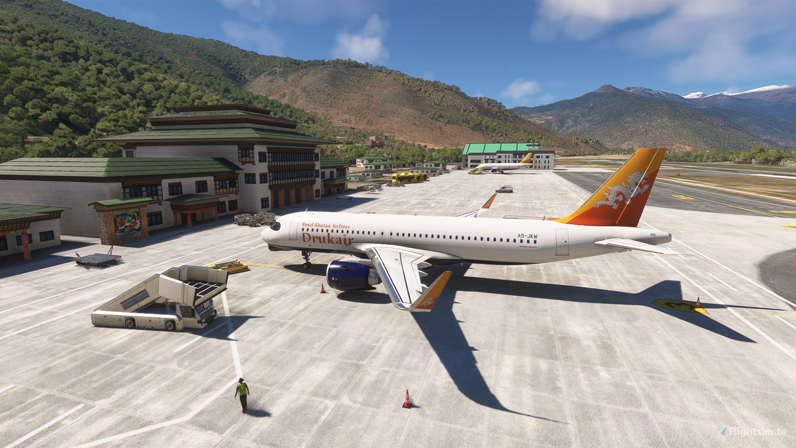
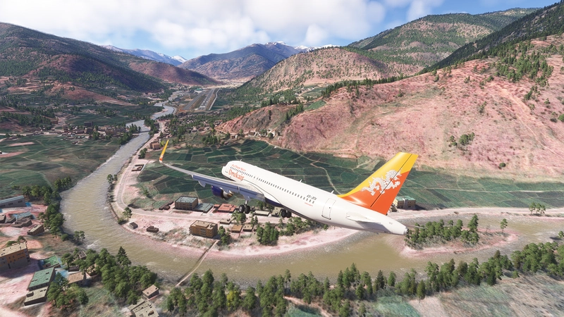
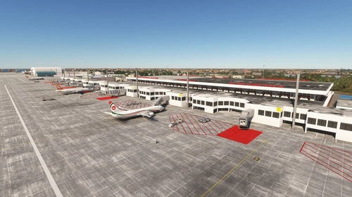
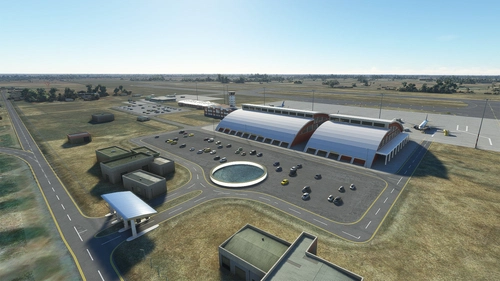
With this addon, the runway, apron and taxiway layout of Paro Airport has been revised to be up-to-date. Taxiway names are assigned according to information from Bhutan AIP, and most of the parkings have been changed to RAMP_GA_LARGE so now you can call for Boarding Ramp and Large Pushback there. You can now taxi on the parallel taxiway (Taxiway T) safely with an A320. The runway IRL is sloped with gradient as much as 0.8%, while runway 15 is sloped downward and runway 33 is sloped upward, resulting in height difference as much as 16M bewteen the thresholds. The portrait of the Royal Family of Bhutan at the apron has also been replaced with the current one. For the FS2024 version, I bring the airport buildings in FS2020 back as they looks better.
The approaches have also replaced to become something similar with circle-to-land procedures, which are independent of the runway used on final. You are recommended to use the development version if you are flying with A32NX as it now supports automatic holdings and all the RNAV procedures include compulsory holding for some of the transitions.
From the AIP of Bhutan, these two points about Paro Airport are specified:
- Entry/Exit into circuit area is via Chhuzom (confluence of rivers Paro Thimphu)
- Avoid flying over dzongs, monastery or temples
In addition to modding the stock Paro Airport, certain helper POIs including the important pattern checkpoints and the religious buildings along Paro Valley are also added, which are helpful for those who want to try a full flight to/from Paro Airport, rather than just playing with the Paro Landing Challenge (but passing the challenge with a score of 'B' is essential before a full flight). In fact most of these buildings are located on hillsides so it is not likely to fly over them directly. The largest one among them is the Rinpung Dzong (also called Paro Dzong), which is already handcrafted in stock scenery and you should see it clearly. In additional, I've also placed a POI on Mr. Smith's House, which is the "visual target" for approaching runway 15.
For longer flights into Paro, it is often to have a stop at Guwahati or Bagdogra Airport to confirm the weather at Paro before heading for it.
A detailed tutorial about the full procedures is attached in the zip file as PDF. Have a look on the video from Just Planes for the complete procedure:
https://www.youtube.com/watch?v=jLITsoyPBjk
I've also published a new addon, which make the special traffic pattern of the airport being "visualized":
https://flightsim.to/file/69288/paro-airport-vqpr-circuit-training-visualized
There is another channel on YouTube with plenty of real world cockpit videos for operating in or out of Paro, by a Captain at Bhutan Airlines:
https://www.youtube.com/c/FlyingDragonBhutan
https://www.youtube.com/watch?v=fj7pL-Zngt0
The procedures above are practiced for simulations ONLY. DO NOT FOLLOW THIS IN REAL LIFE. Dedicated rating is required for flying into Paro in fact
Please DELETE the previous version before installing a new version to avoid problems due to BREAKING CHANGES
Now the navdata and the scenery have been separated. Just delete the file "navdata-vqpr.bgl" if you have subscribed 3rd party global navdata from vendors like Navigraph to prevent conflicts.
If you have bought the GSX Pro payware addon, you may also want to download the corresponding Profile
For the flags array of Bhutan to be shown at the apron, please also download the Windy Things library if you don't have it
My Bhutan scenery series:
--
Welcome to subscribe my channels for MSFS live game-play:
https://www.youtube.com/channel/UC21efZOlIujoYpzzCGoiYfQ
https://www.twitch.tv/kychungdotcom
This is the dedicated playlist for the past MSFS live game-play sessions into Paro Airport:
https://www.youtube.com/playlist?list=PLcMXnlY1eyJpRuvwQsk9r9Ls0DoVI3i-V
Dependencies
Comments(195)
Log in to join the discussion
Log In4 months ago
4 months ago
5 months ago
5 months ago
5 months ago
5 months ago
5 months ago
7 months ago
OBS. RESOLVED! The issue was on my end — I just had to disable the default Asobo VQPR and the problem was fixed. Sorry about that! Your work is great, keep it up! Merry Christmas 🎄
7 months ago
7 months ago
7 months ago
7 months ago
4 months ago
8 months ago
1st i want to thank you for the great work. To use it with as much fun as it is possible i am missing something. Since a few month there isn´t a Navigraph Approach Chart available for this Airport. Do you have one to share with the community?
8 months ago
Paro Airport (VQPR) Remake and Nearby Landmarks
Discover the enhanced Paro Airport (VQPR) and nearby landmarks with this addon. Experience updated runway, apron, and taxiway layouts, as well as revised parkings for improved realism. Enjoy a detailed tutorial and separate navdata and scenery files for enhancing your flight simulation experience
Supporters
User Reviews
37 reviews
Location
More Information
Version History
1. Minor adjustments on edge markings around Runway 33 Threshold 2. Added the (maybe) apron extension site near the cargo terminal observed from real world videos (The parallel taxiway is closed IRL but you can still taxi on there just like normal in the sim)
Featured in Collections(2)
Related
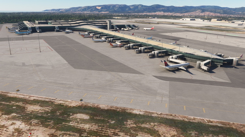
FHSH - St. Helena Airport
St. Helena Airport (FHSH) offers a detailed representation of this unique airport, known for its challenging approaches and distinct geographical features. The add-on includes handcrafted terminal and tower buildings, as well as three documented approaches.
by kychungdotcom
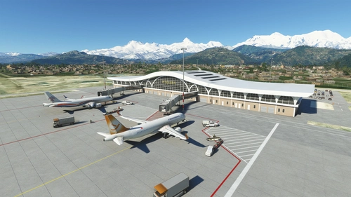
Pokhara Intl. Airport (VNPR)
Explore Pokhara International Airport with this handcrafted scenery mod, featuring a custom terminal building.
by kychungdotcom
VGHS - Dhaka (Hazrat Shahjalal) Intl. Airport
Hazrat Shahjalal Intl. Airport add-on for Microsoft Flight Simulator offers handcrafted buildings, precise runway placement with ILS localizers, and revamped taxiway system with corrected names. This enhancement includes detailed elements like airport gardens and car parkings, taxiway signs, and custom paint elements for a more realistic airport experience. Regular updates are expected as the airport progresses, making it a must-have for virtual pilots.
by kychungdotcom
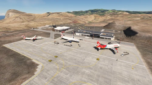
VNBW - Bhairahawa (Gautam Buddha) Intl. Airport
Upgrade Bhairahawa (Gautam Buddha) Intl. Airport in Nepal to an international hub with a new runway and apron. Enhance your Buddhist pilgrimage experience with improved facilities and ILS features for your home simulation. Note: Ramp limitations and update instructions apply for seamless performance.
by kychungdotcom
4 months ago