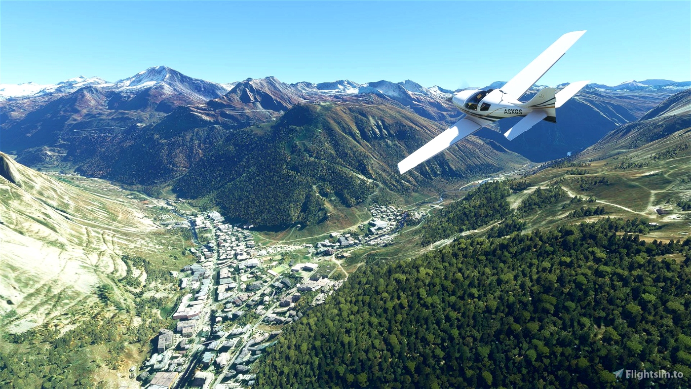
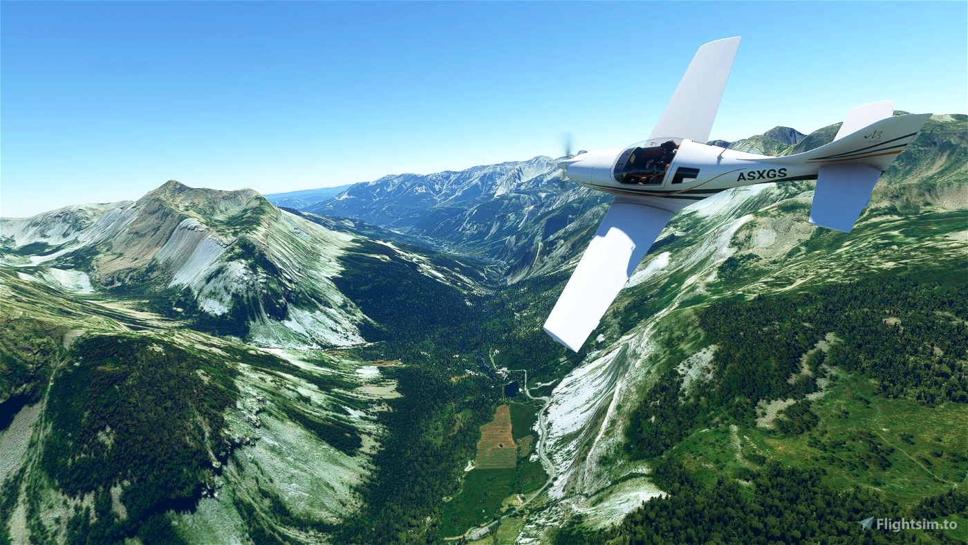
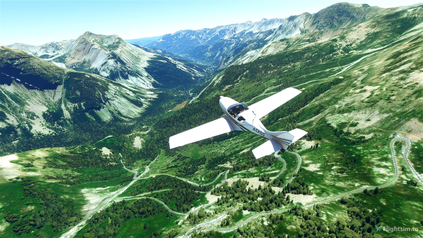
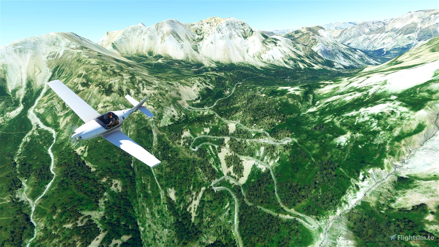

This bush trip covers the complete 'Route des Grandes Alpes' (If you don't know it, just google for it.)
It's quite a famous trip from the Lake Geneva through the French Alps all the way south until you reach the Mediterranean Sea.
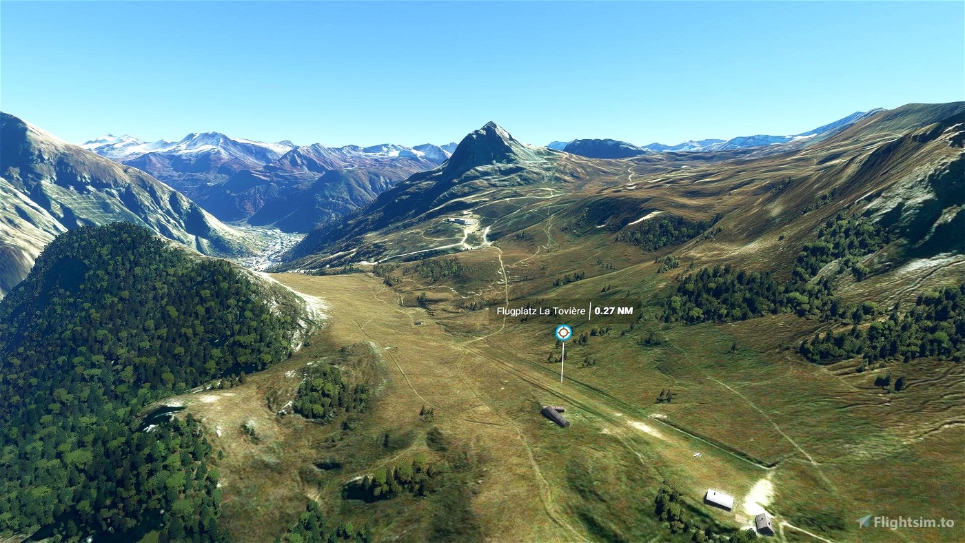
You will cross 16 larger alpine passes (and a few smaller ones). Since we are in the alps and larger airports are therefore rare, some airstrips are not that long - but it's still all definitly possible to master!
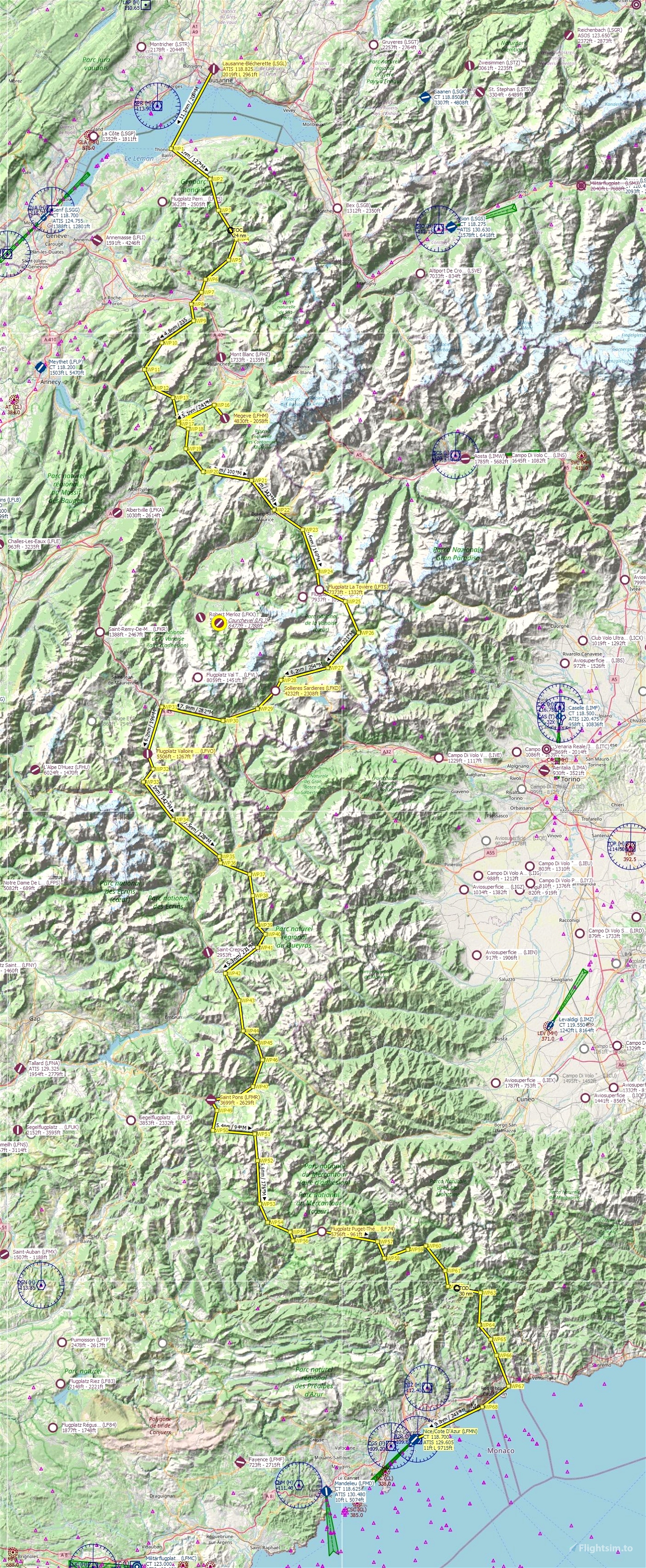
The trip is separated into 7 legs with a total length of a bit less than 3 hours. See the Navigation-Map within the images at this site.
You can choose the weather and time as you like. The airplane is set to the JMB Aircraft VL-3, since it can gain height very quickly (which is quite helpful in the mountains, right?)
The leg-description-text is available in english and german. Other languages will only follow if you supply me with your language file ;-)
Since it's might sometimes not be that easy to follow the descriptions of the route (because the landscape is not 'unique' enough at a few places), it might be helpful to have a (topographic) map opened at the same time to find the cities and valleys.
Installation as always:
Just copy the extracted 'route-des-grandes-alpes'-folder into your 'Community'-directory
The idea to create this bush trip came up, when the Youtube-Video of our Motorbike-Tour along the Route des Grandes Alpes in Juli 2020 started growing in the last weeks ;)
Many, many thanks to f99mlu for creating the awesome BushMissionGen!! <3
Reviews
Thanks!! Very beautiful and challenging bush trip. What were those gigantic monoliths in Bourg-Saint-Maurice??? I checked google maps and they do not appear in the actual city.
3 years ago

This was phenomenal. Thank you so much!
3 years ago
Really funny,I was driving the RDGA in August this year by my bike and I was thinking about creating a bush trip next by. So - you have been faster and I'm intersted about your setup.
3 years ago

Thank you so much for this wonderful journey ! Great job !!!
3 years ago
A really beautiful trip! Thank you very much!
3 years ago
Comments
Pretty empty over here.

3 years ago
3 years ago
phitux
revvet
3 years ago
BostonJeremy77
3 years ago
3 years ago
phitux
BWilli
3 years ago
3 years ago
phitux
TurboProp19
But the landing on LF74 is very difficult because the place is hard to find.
Waiting for more.
3 years ago
3 years ago
phitux
eva1103
3 years ago
3 years ago
phitux
giovist