Description
Second in a series of bush trips in Italy.
This trip covers Emilia Romagna, Lombardia and Piemonte (the majority of the "Pianura Padana", the largest plain in Italy), I suggest to follow me or my updates if you are interested because I will do a new bush trip and won't modify this one (simply because I don't know how to update this without deleting your progress, meaning that you would have to restart every time I update the file, so I just prefer to create a new one starting from where the last ended).
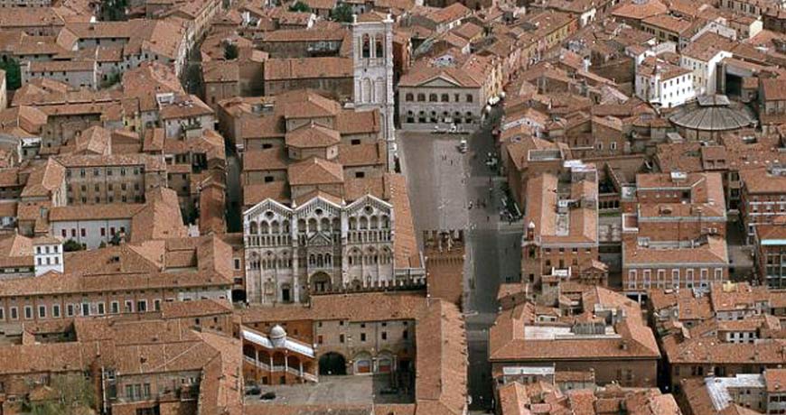
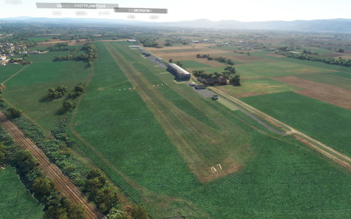
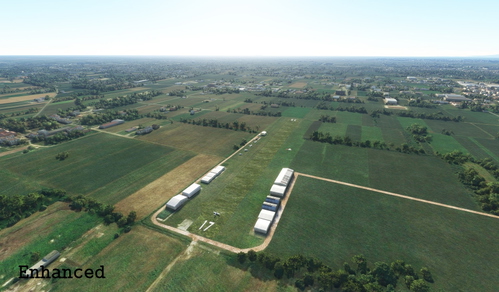
There are 10 legs that will lead you from east to west, flying over famous cities such as Bologna, Milan, Turin, as well as famous landmarks such as the lake "Lago Maggiore" and the longest river in Italy, Po.
You will be flying in a DA40 NG.
Don't forget to leave a comment with rating and advices if you liked it! Also, if you really liked it, consider paying me a coffee ;)
New content soon so stay tuned!
RECOMMENDATIONS
If you fly the First Italian Bush Trip featuring Veneto that I made, you will benefit of a more complete experience. This one, in fact, begins right where the first one ended. Here's the link: https://flightsim.to/file/5249/italy-bush-trip-1
GO AND FLY THE 3RD ITALIAN BUSH TRIP! LINK: https://flightsim.to/file/11630/italian-bush-trip-3
I strongly suggest to download and install Turin Landmarks to enjoy the view over Turin (altough it is not needed to complete the Bush Trip). Here's the link: https://flightsim.to/file/4897/torino-landmarks-by-tatami
INSTALLATION:
Unzip the downloaded folder in your Community folder.
Comments(9)
Log in to join the discussion
Log Inover 5 years ago
over 5 years ago
over 5 years ago
Puoi seguire il fiume quando conosci l'aeroporto come fai a sapere che è quello ? No
over 5 years ago
over 5 years ago
Italian Bush Trip #2
Experience a thrilling Italian bush trip through Emilia Romagna, Lombardia, and Piemonte, exploring cities like Bologna, Milan, and Turin, as well as landmarks such as "Lago Maggiore" and the Po River. Fly across the scenic Pianura Padana in 10 legs with a DA40 NG aircraft. Follow for updates and start your adventure in the largest plain in Italy.

User Reviews
1 reviews
More Information
Version History
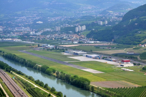
Considering the plane perfomances, the second leg now doesn't end at a small airstrip like it used to do, but it ends at Borgo Panigale.
Related
Italian Bush Trip #1
Embark on the first leg of the Italian Bush Trip series, covering Veneto region with 5 exciting flights in a DA40 NG. Follow the creator for future updates and explore more regions in upcoming trips. Install by placing the "veneto-bush-trip" folder in your Community folder.
by Laurenzio
Italian Bush Trip #3
Explore the stunning coastal regions of Liguria and Toscana in Italy with this third installment of the Italian Bush Trip series. Embark on a journey through picturesque landscapes with 7 legs to enjoy the panoramic views. Fly in a DA40 NG aircraft as you follow the coastline, and stay tuned for upcoming new content. Dont forget to leave your feedback and consider supporting the creator for more adventures.
by Laurenzio
Thiene Airport
Thiene Airport (Arturo Ferrarin) add-on enhances the default appearance of the airport in Microsoft Flight Simulator. While not a full recreation, this modification reorganizes taxiways, parkings, runways, and structures for a more accurate representation. Designed to address the lack of existing scenery options for this general aviation airport near Vicenza, this add-on provides improved visuals using default scenery objects. Simply drag and drop into your community folder to install.
by Laurenzio
Cassola Airfield
A visual overhaul of the Cassola Airfield (Aviosuperficie Cassola), which is the easiest way to fly if you live near Bassano del Grappa. This airfield offers a starting point to many interesting and beautiful landscapes, such as Monte Grappa, Venice, Asiago, and since it's not and airport it can be used by everyone, from ultralight licenses to PPL owners.
by Laurenzio
over 5 years ago