
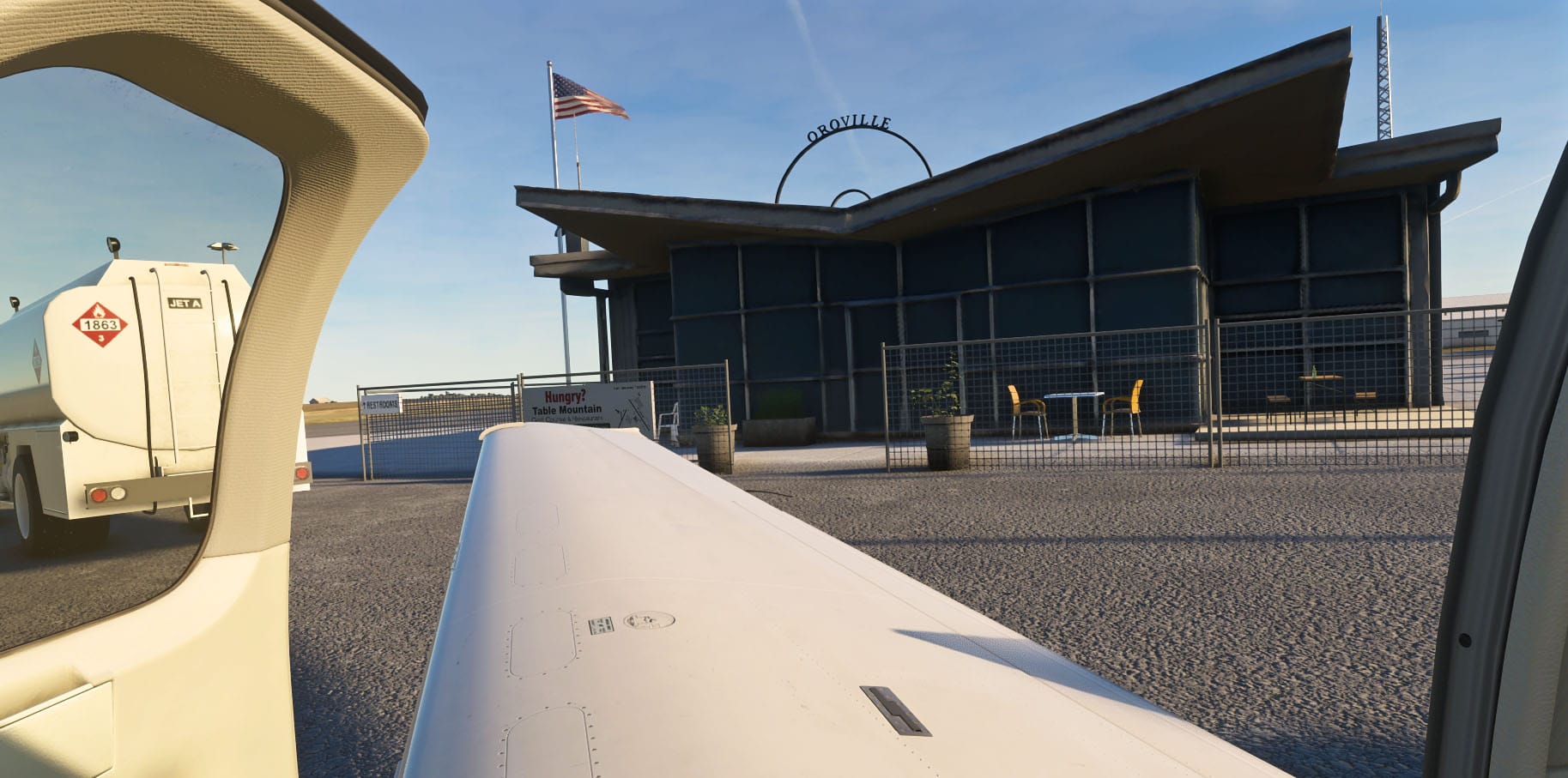
Oroville Municipal Airport, designated KOVE, sits in Butte County in northern California's Sacramento Valley, positioned just west of the sprawling Lake Oroville reservoir and the city that shares its name. Geographically, it occupies a midpoint of sorts between Chico Municipal Airport (KCIC) to the north and Beale Air Force Base to the south, with Reno, Nevada lying due east across the Sierra Nevada range.
The airport carries a history that stretches back to World War II, when it functioned as an active military training center — the same unit in which the legendary test pilot Chuck Yeager served, a connection commemorated today in the name of a road running alongside the field. In the present day, KOVE serves a mix of transient general aviation traffic, local pilots, seasonal aerial firefighting operations, and fly-in events. Its primary runway, 2/20, stretches a full 6,000 feet, making it a practical destination not just for light aircraft but for business jets as well.
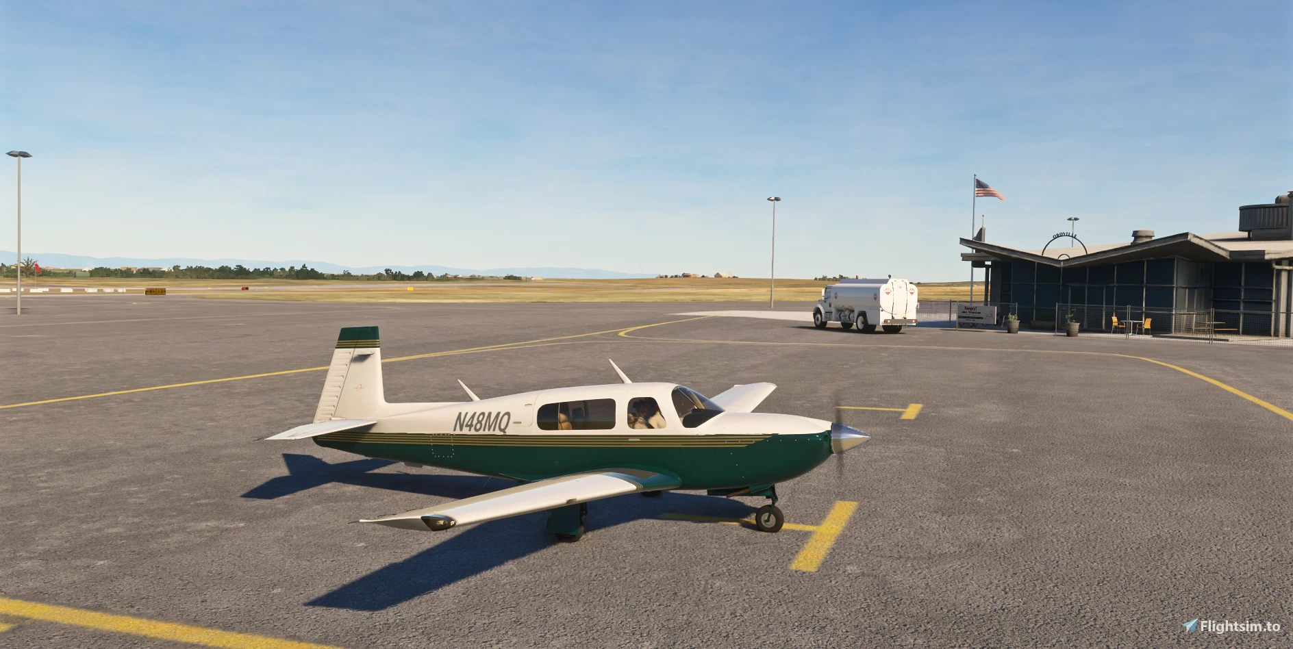
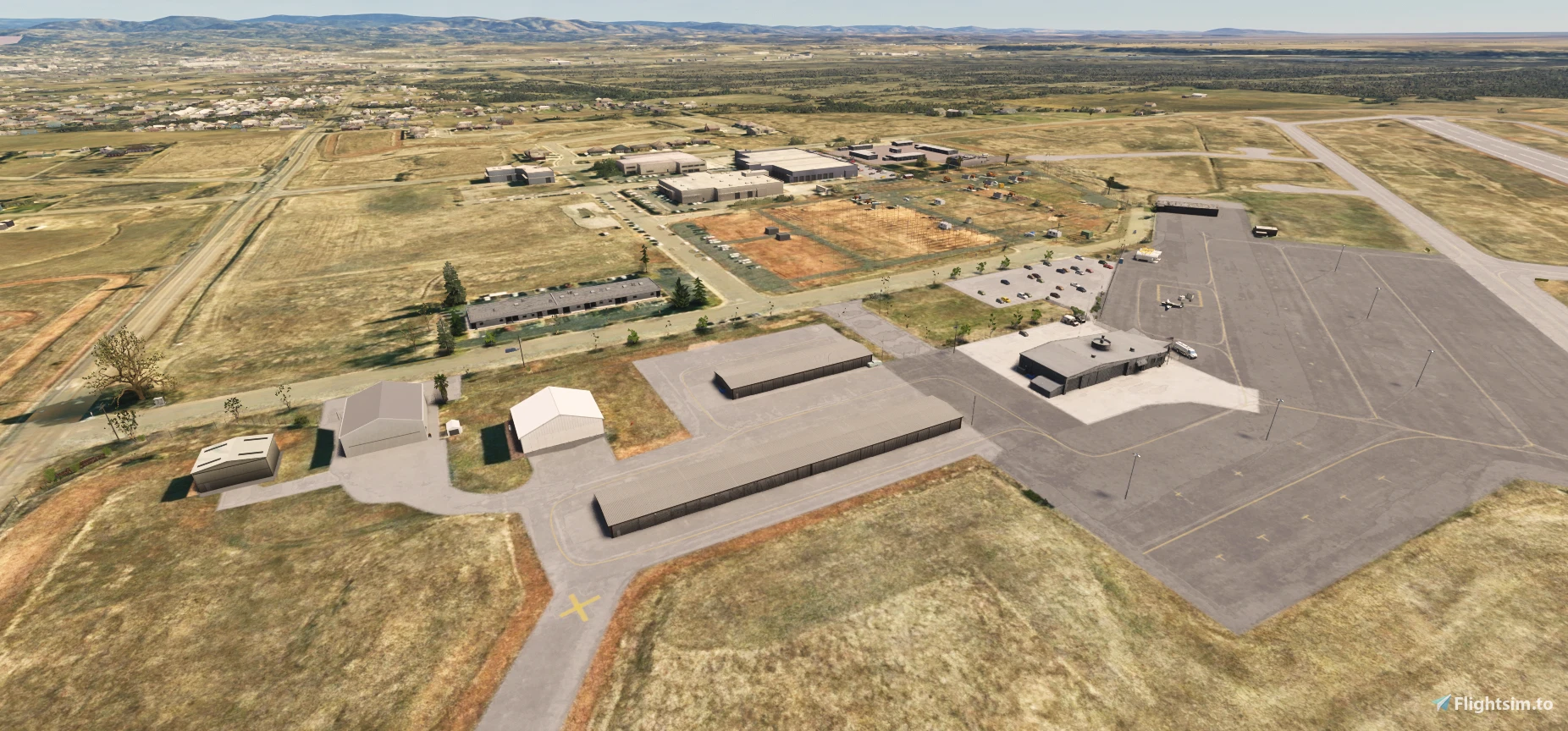
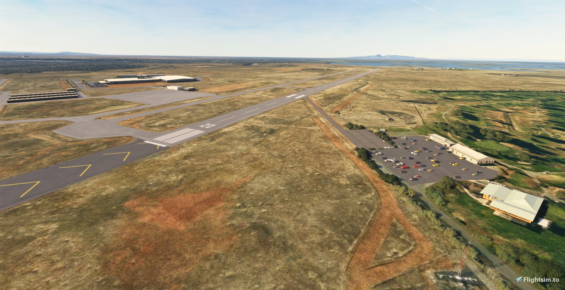
Scenery developer Nandengo12 has released a detailed freeware enhancement of this airfield for both MSFS 2020 and MSFS 2024. The add-on is built entirely within Microsoft's official SDK framework, using a combination of custom-modelled objects and library assets to bring the airport much closer to its real-world appearance. Nandengo12 has crafted custom airport objects including the main FBO building, an older hangar situated south of the fuel site, and the Butte County facilities located in the eastern portion of the field.
Nearby landmarks have also been incorporated, among them a large industrial complex positioned between the runways and a USDA office building adjacent to the airport boundary. Along Chuck Yeager Way, the add-on places power poles and construction vehicles to approximate the presence of the Northwest Lineman College campus.
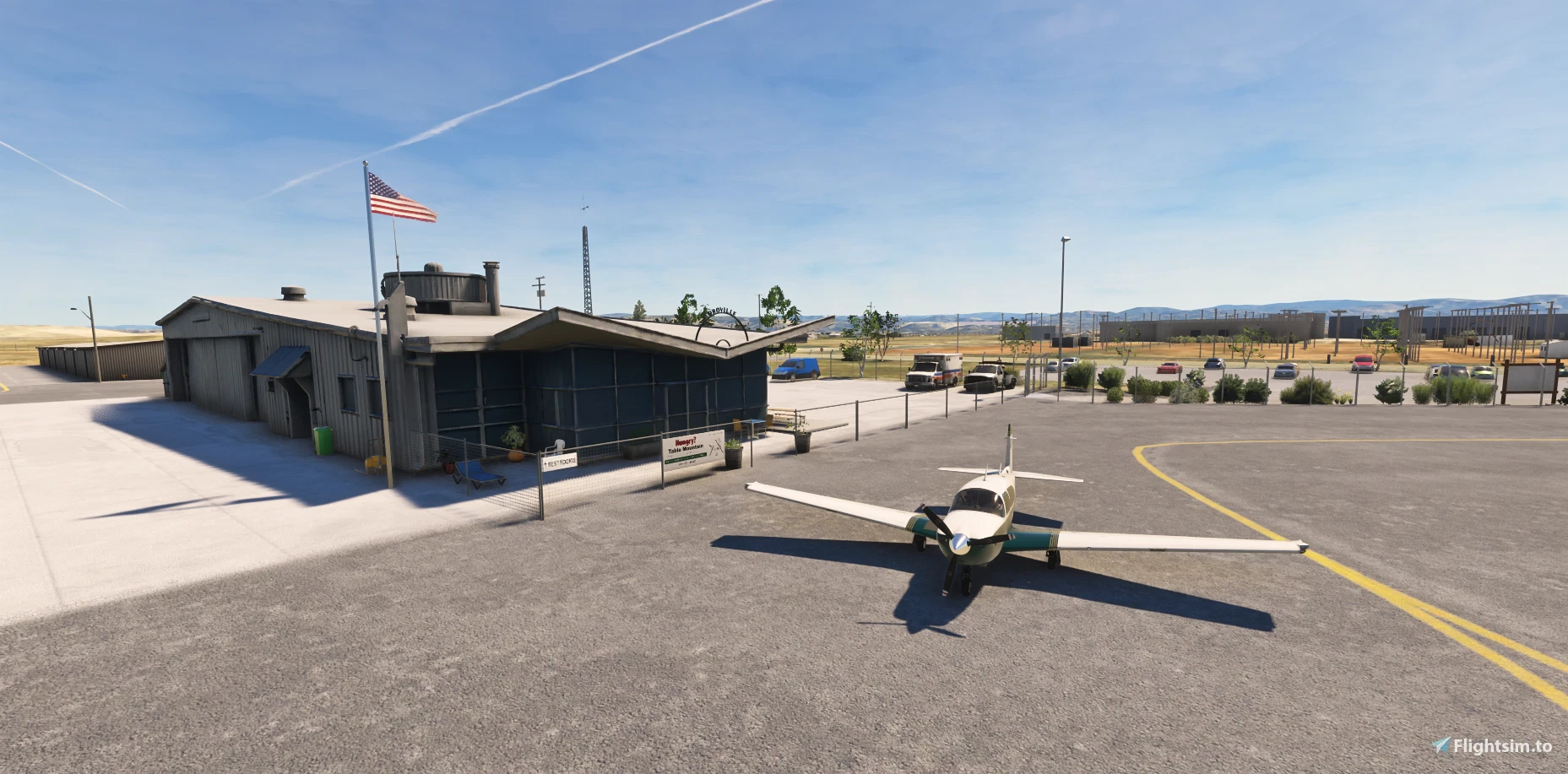
One of the more distinctive touches is the representation of the Table Mountain Golf Course adjacent to the field, including a library-object approximation of the clubhouse complex and a designated parking area for golfers. Landscaping has been added throughout, covering the FBO parking lot, the industrial area, the golf course grounds, and the length of Chuck Yeager Way.
On the airfield itself, both runways have been fully replaced to correct issues present in the default MSFS data, including incorrect PAPI placement. Taxiway signage has been redone to reflect KOVE's specific sign layout, and fencing, weather equipment, windsocks, ramp lighting, and streetlights have all been added or corrected in line with orthographic reference imagery.
There are a few dependencies to be aware of before installing. The add-on requires Nandengo12's own California GA library (version updated June 2023 or later), which is listed on the download page. Certain hangar, trash bin, and light objects draw from MSFS scenery packages for LFCS (Saucats), KFFA, and KCGX, while flowerpots are sourced from the EGSS package — all of which need to be present in your community folder. Additionally, some ramp and security objects require the free UK2000 Common Library, available directly from the UK2000 website. Installation itself is straightforward: unzip the downloaded file and place the folder in your MSFS community folder.
KOVE is a well-suited stop for anyone exploring northern California's general aviation network in the simulator, whether you are flying the Sacramento Valley corridor, staging a Sierra Nevada crossing toward Reno, or simply looking for a field with a little history beneath its runways. You can find the add-on 🔗 now on Flightsim.to. As this is a freeware release, if you enjoy what Nandengo12 has put together here, do consider leaving a donation through the page — it is a meaningful way to support the continued development of scenery like this for the community.