
RAF Feltwell – Visual Scenery
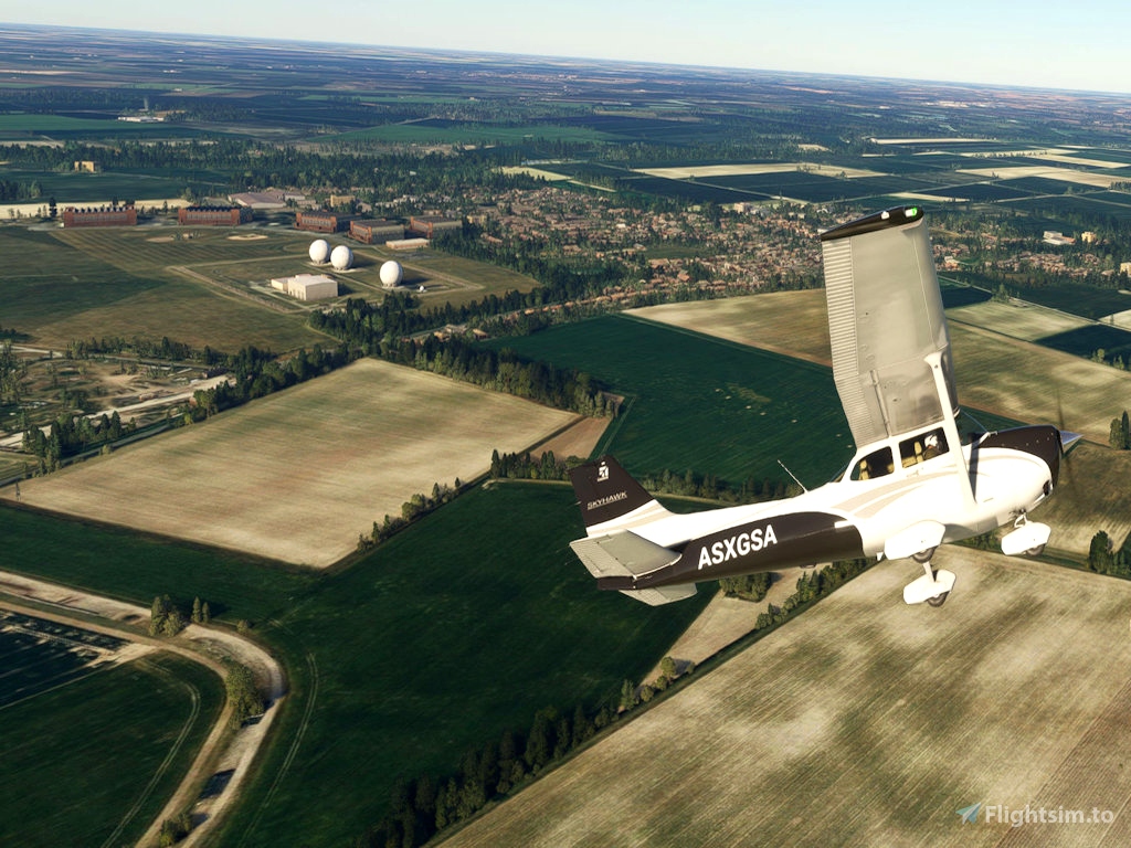
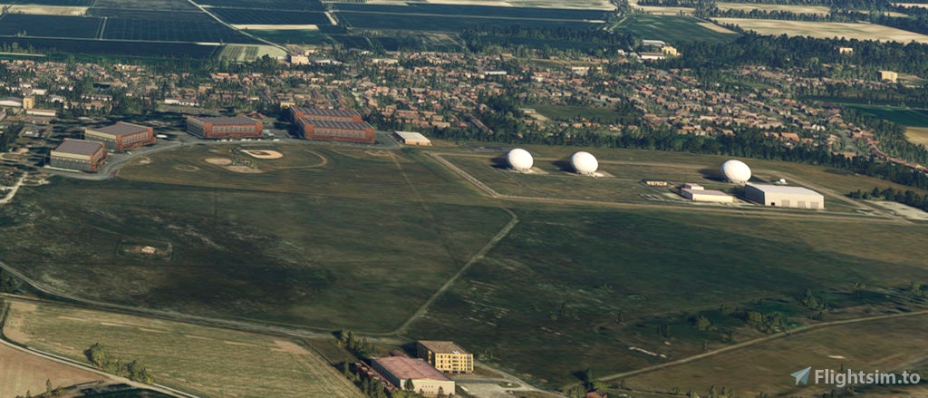
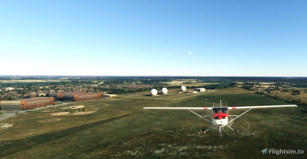
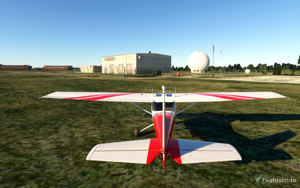
RAF Feltwell is a USAF Communications Facility located approximately 4 miles north of RAF Lakenheath ( EGUL.)
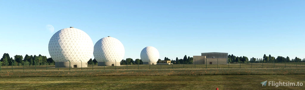
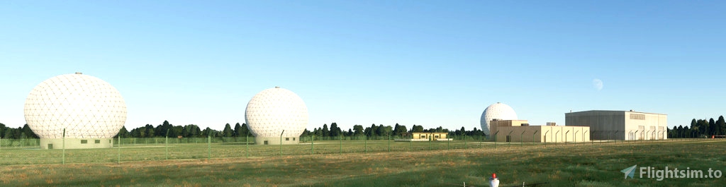
This package provides the three large SatCom domes; the fencing around the secure site; and the old WW2 era hangars. It is a big visual landmark for EGUL.
I have also included a waypoint used by Lakenheath aircraft which is missing from MSFS default scenery. “LIBERTY” is approximately 040o / 36 miles from EGUL and approx 5 miles NE of Norwich Airport (EGSH.) The Instrument recovery to Lakenheath r/w 24 is based on a hold 060 o outbound \ 240 o inbound to LIBERTY leaving heading 240 o descending to intercept the ILS glidepath.
NOTE: The waypoint is coded as “ LBRTY “ and will show in MSFS VFR Map search as that.
Any corrections, please message me and I will attempt to fix them.
Thanks to NickB for use of his WW2 era Hangar model.

3 months ago
may433