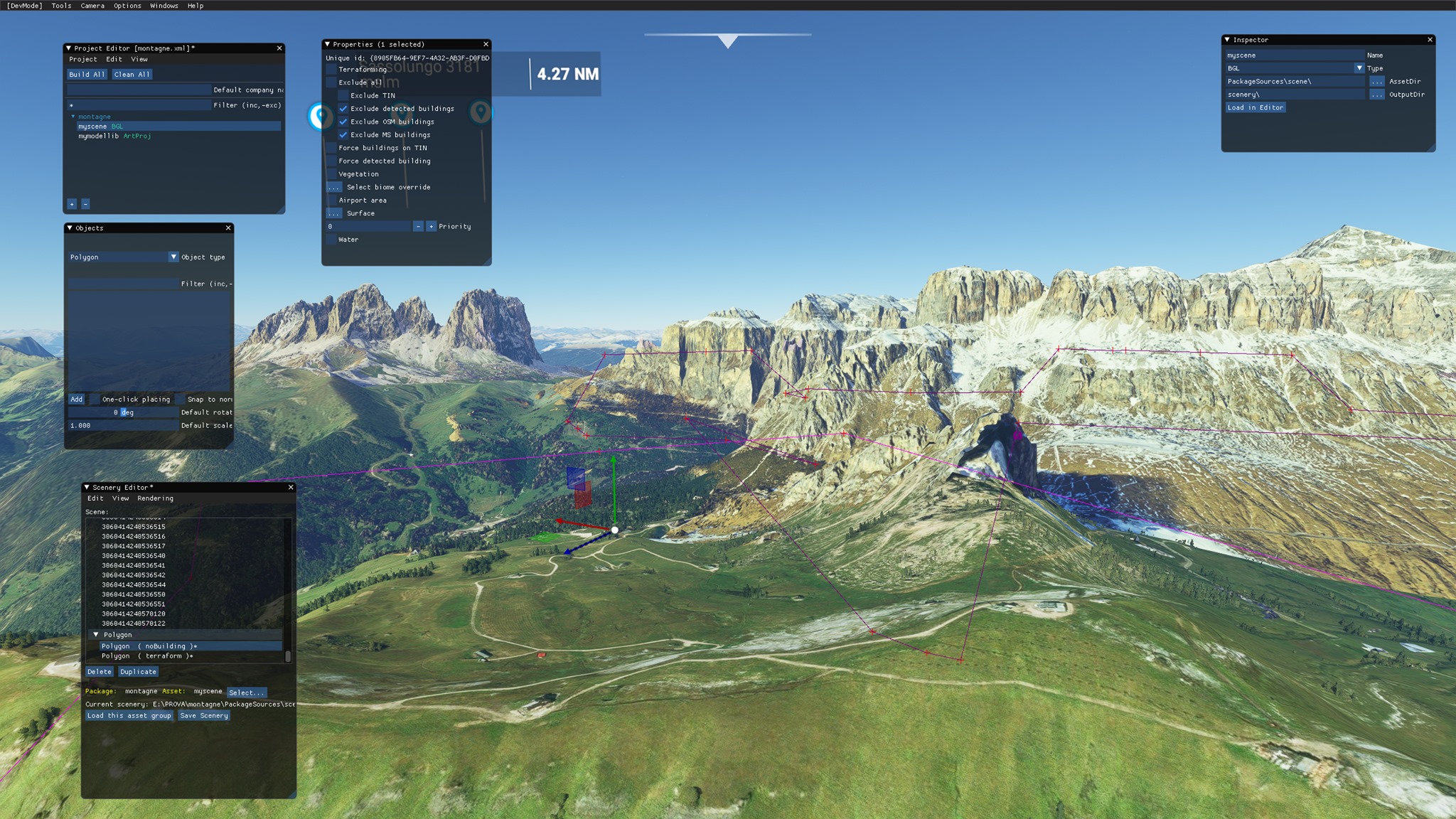
Description
"Sass Pordoi" Gruppo del Sella, Dolomiti, Italia.
è un rilievo delle Dolomiti, nel gruppo montuoso del Sella. È lo sperone più avanzato a sud dell'intero Gruppo del Sella, con una vetta costituita da un ampio pianoro, inclinato a Nord-Ovest; presenta in tre versanti vertiginose pareti a picco sulla Val Lastìes, su Pian de Schiavanèis e sul Passo Pordoi.
purtroppo essendo molto ampio si è dovuto limitare la definizione di cattura.
Rimane un abbellimento puramente estetico, purtroppo mancano funzionalità nel tool SDK che permettano di lavorare bene le mesh 3d. Questo implica purtroppo anche il mancato supporto alle stagioni. La neve cadrà ma "sotto il modello"...
vi sono errori, ma sto cercando di aggiustarli e migliorare l'acquisizione tenendo un occhio al frame rate :)
il file .rar contiene 2 cartelle che vanno entrambe in community, il modello 3d e un exclude con il terraforming separato.
"Sass Pordoi" Sella Group, Dolomites Italy.
it is a relief in the Dolomites, in the Sella mountain group. It is the most advanced southern spur of the entire Sella Group, with a summit consisting of a large plateau, inclined to the North-West; on three sides it has vertiginous walls overlooking the Val Lastìes, Pian de Schiavanèis and Passo Pordoi.
unfortunately being very large, the definition of catch had to be limited.it remains a Work in Progress but this is already better than the original. It remains a purely aesthetic embellishment, unfortunately there are no features in the SDK tool that allow you to work the 3d meshes well... this problem cause NO Stagionality.. so in winter, snow are under the model...
there are errors, but I'm trying to fix them and improve the acquisition keeping an eye on the frame rate :)
The RAR file contains 2 folders that both go to community, the 3D model and an exclude with separate terraforming.
Enjoy!
Comments(19)
Log in to join the discussion
Log Inover 3 years ago
Yes
almost 4 years ago
Hi, is this compatible with SU9?
almost 4 years ago
Yes, compatible also with SU 10. tested iesterday
almost 4 years ago
great. can you please mark it as compatible? it still is flagged red (compatibility not yet comfirmed). thx
over 5 years ago
over 5 years ago
Use LIPB, Bolzano as starting airport.
over 5 years ago
over 5 years ago
over 5 years ago
over 5 years ago
over 5 years ago
Would it be possible to make it a little higher level of detail?
over 5 years ago
over 5 years ago
Anything you can do. I also saw that near Passo Gardena and North East of Gruppo delle Odle there are some extremely dark textures fragments scattered about. Maybe there is a way to remove them.
over 5 years ago
over 5 years ago
over 5 years ago
over 5 years ago
over 5 years ago
Sass Pordoi
Explore the breathtaking beauty of Sass Pordoi in the Dolomites, Italy. This add-on features the most advanced southern spur of the Sella mountain group, with vertiginous walls and a large plateau. Currently a work in progress, it enhances the landscape aesthetically while addressing mesh and seasonality limitations in the SDK tool. The RAR file includes a 3D model and exclude with separate terraforming for installation in the community folder.

User Reviews
7 reviews
More Information
Version History
No version history available.
Related
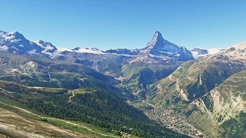
Matterhorn Mountain
Explore the stunning beauty of Matterhorn mountain with this add-on, featuring a fully photogrammetry-based model and terraformed edges for a more realistic experience. Version 2.0 includes new additions such as improved LOD levels, color-corrected textures, cable car pylons, and populated forests. Install by dragging the folder into your "Community" folder and enjoy the enhanced scenery around this iconic peak.
by NikPrist
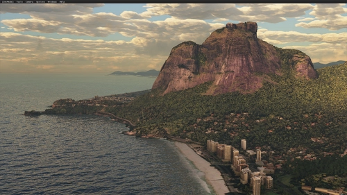
Rio de Janeiro Megapack Montanhas
Explore the detailed mountainous landscape of Rio de Janeiro in this updated megapack. Precisely positioned mountains like Pedra da Gávea and Pão de Açúcar using Google Maps models. Create your mod via Earth2MSFS for an effective import process. Stay tuned for further updates with optimized textures and added landmarks. Individualize your experience by adding specific mountain ranges to enhance your simulation.
by RodrigoMoraes94
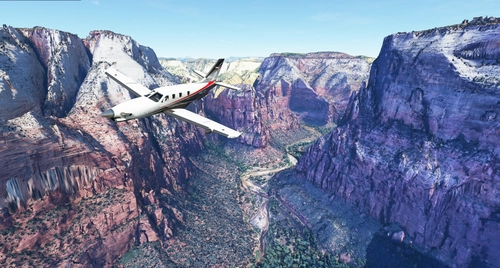
Zion Canyon National Park, Utah
Explore the breathtaking beauty of Zion Canyon National Park in Utah with this V1.0 scenery add-on. Discover well-known locations like the Zion Canyon Overlook, Angels Landing, and more. Experience corrected terrain heights and improved color blending for a more immersive flight simulation. Simply extract the file to your Community Folder and start your aerial adventure in this stunning national park.
by Jeppeson2001
Chamonix-Mont-Blanc, Rhône-Alpes, France - Valley
Explore the stunning Chamonix-Mont-Blanc valley in Rhône-Alpes, France with this addon, including a semi-fictional DZ at Argentière. Enhance your experience by combining it with the Mountains addon. Download, extract into community folder, and enjoy photogrammetry and object data. This addon requires a minimum configuration for optimal performance.
by AdrianL
over 3 years ago
compatible with su11?